I spent the week in Saskatchewan for work. I flew into Saskatoon (YXE) on Monday morning.
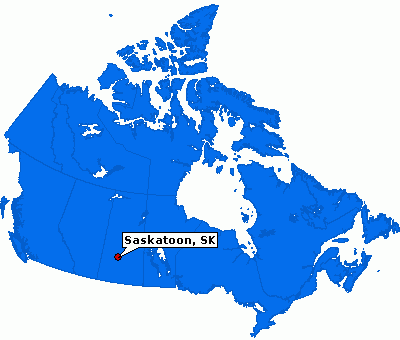
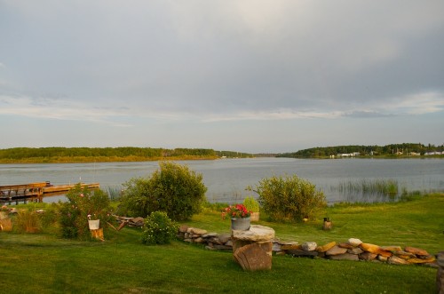
From Saskatoon we drove to Buffalo Narrows, about a 6.5 hour drive. I was staying at the Waterfront Inn on Churchill Lake.
Buffalo Narrows sits between Churchill and Peter Pond Lakes. It is located at 55° north.
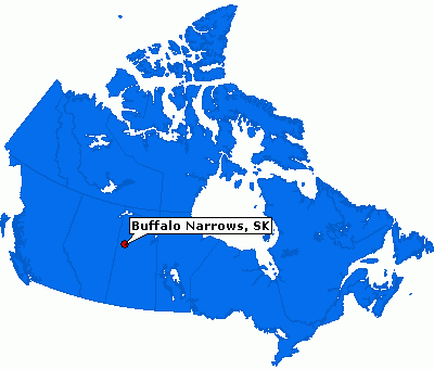
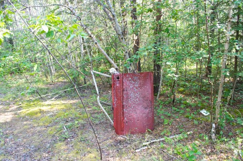
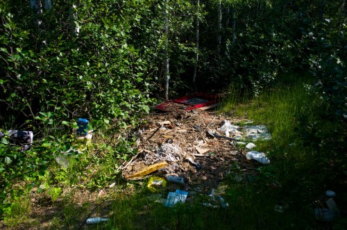
Tuesday was spent in the bush just south of the town. Temperatures reached 32°C, not much of a break from southern Ontario temperatures. We were trying to find a location for a new monitoring site. As is often the case, people in the north like to use access roads off the highway as target practice and
dumping grounds.
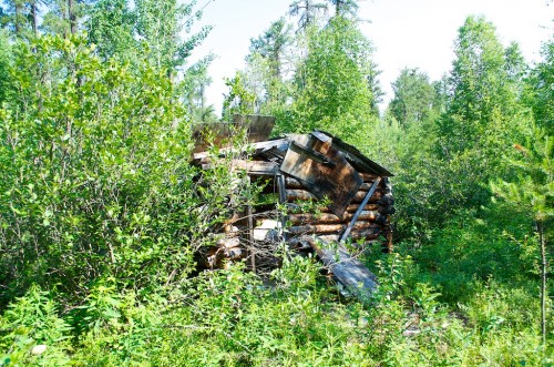
An old abandoned cabin.
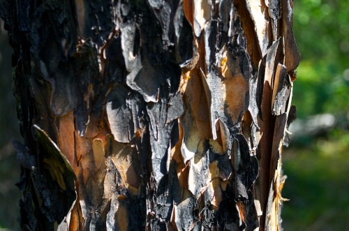
Bark.
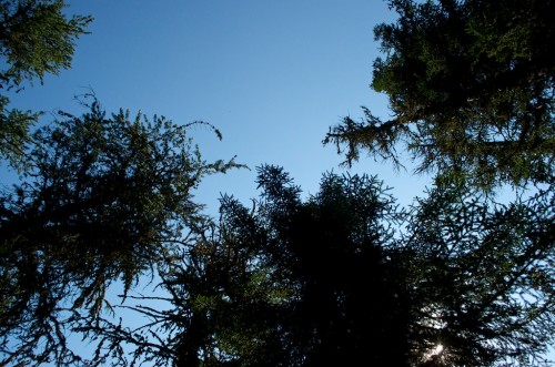
Looking up.
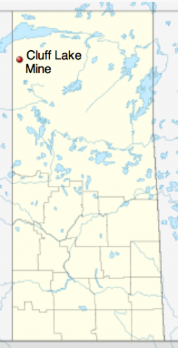
Wednesday it was off to Cluff Lake Mine. In the fall of 2010 we had installed one of our precipitation monitoring sites at the decommissioned Uranium mine owned by Areva Resources. The site ran for a few months before they informed us they could no longer support our program with the recent cuts they had undergone. Fast forward a couple of years and word came down that we would have to get our equipment out of there before this fall. We co-ordinated with Sask Environment who also had some equipment running there and went up together in one of their vehicles. Cluff Lake is about 75km south of Lake Athabasca. It is located at 58° N.
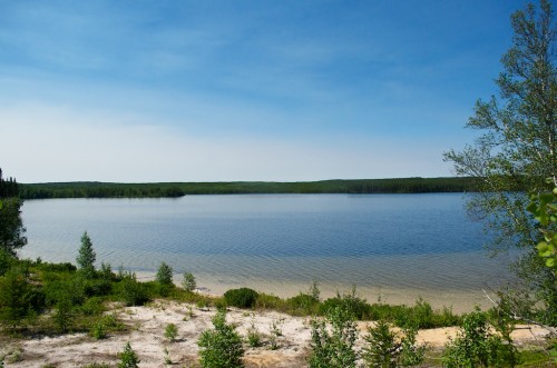
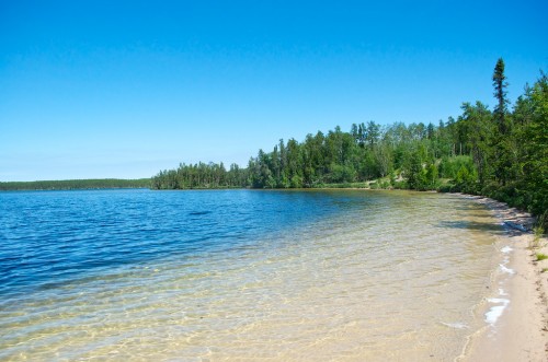
We spent the night at the camp. This is Cluff Lake.
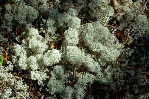
Some lichen along the shore.
The water felt pretty warm, they had also gone through a heat wave, temperatures reached 35° C the day before we arrived.
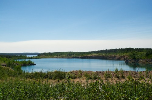
One of the open pits that has since been flooded. The mine was operational for 22 years during which time they produced over 62 million pounds (28,122,700 kgs) of yellowcake. Yellowcake is used in the preparation of uranium fuel for nuclear reactors.
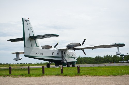
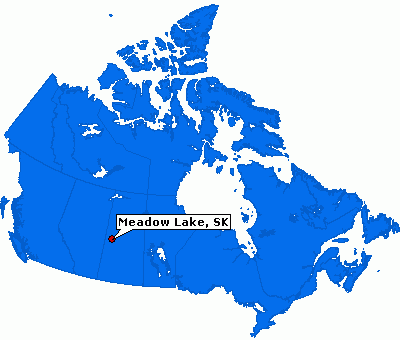
Thursday morning it was time to head back south. We were back to Buffalo Narrows to pick up our rental vehicle and then down to Meadow Lake for the night. It was approximately 600km. There are a couple of water bombers stationed at the Buffalo Narrows airport.
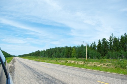
Long desolate stretches of highway 155.
Our stop for the night was in Meadow Lake.
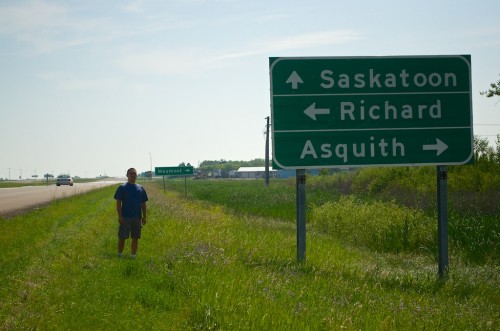
On Friday we departed from Meadow Lake for our site south of Regina to drop off our equipment. Along Highway 16 there is a sign for the town of Richard, SK. Here I am standing next to the sign. You can see a RCMP cruiser passing to the left. When we stop to take the picture, he slowed down to see if everything was alright.
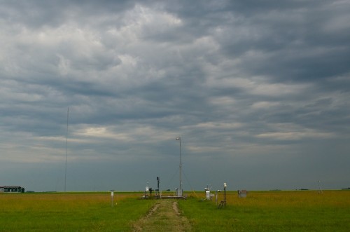
Saturday morning it was back to our site before flying out of Regina. After a week of heat and sun it was a relief having some cloud cover and showers off and on.
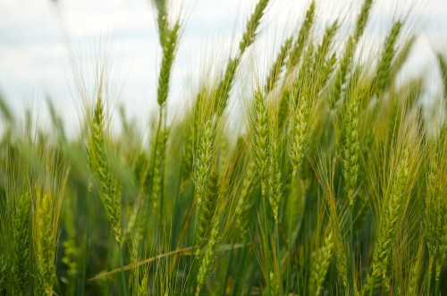
Some wheat in the adjoining fields.
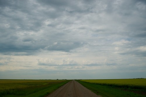
The more typical Saskatchewan roads, when you get further north in the province, the terrain is a little more interesting, not quite as flat.
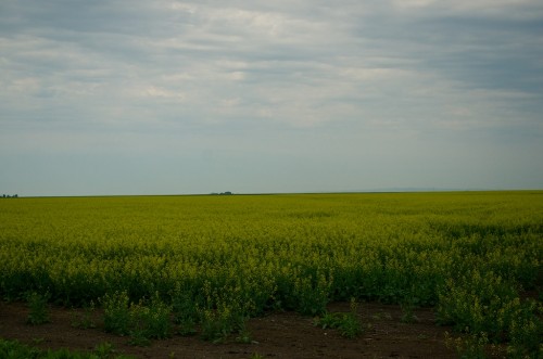
On the other side of the road were some canola fields.
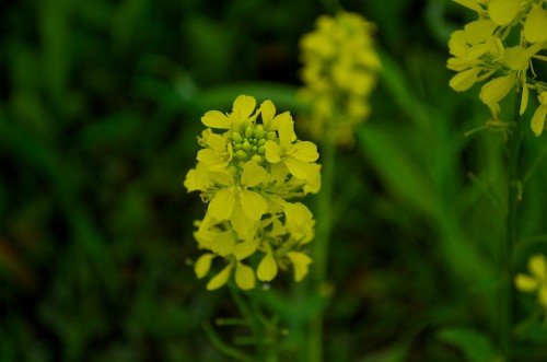
A canola plant.
The flight back from Regina (YQR) was through Winnipeg, there was a 30 minute delay in the flight leaving Winnipeg (YWG). Probably 75% of the flight was making a connection in Toronto (YYZ). When we landed, a quick look at the departure screen showed a lot of delayed flights, most of them waiting for passengers on our flight.
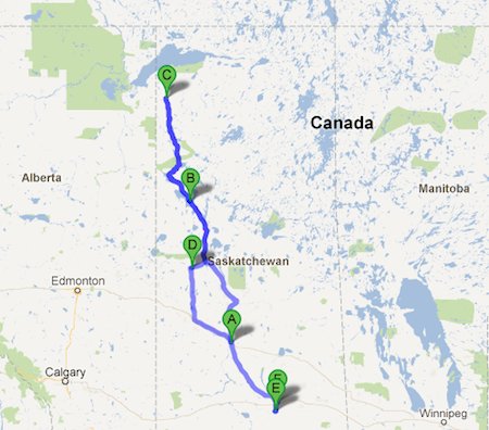
It was a long week of travel, our tour of Saskatchewan was 2073 km’s of driving. In that distance you could drive from Mississauga to New Orleans, LA or from Rossland, BC to Las Vegas, NV. Of course we did all that without leaving the province. The weather was good, a little hot, and we had a doozy of a lightening/thunderstorm in Buffalo Narrows the first night. The wildlife was abundant on this trip, I saw 3 black bears, 1 wolf, a rabbit, pelicans, hawks,sandhill cranes and 3 deer. I drove the Trans-Canada highway, the Yellowhead highway, the Semchuk Trail, the Lois Riel Trail and the Canam Highway. Below is the route A.Saskatoon, B.Buffalo Narrows, C. Cluff Lake, D. Meadow Lake, E. Bratt’s Lake, F. Regina.
