FROM HERE TO THERE...
Thursday, March 12, 2009
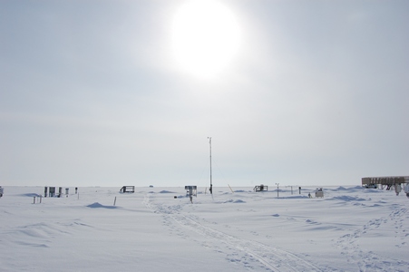
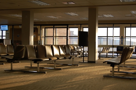
One More Day in Goose Bay
In the building there was an old typewriter, haven't seen one of these
in awhile.

The weather wasn't as nice today, they were calling for 5 cm of snow and
increased winds.
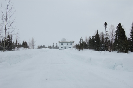
There was this place called Fur Harvesters. A closer look at the sign
above the garage. Not sure what they do with the Scrap Meat.
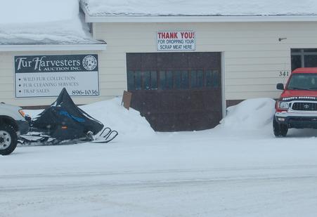
Gas prices in Goose Bay were $101.40.
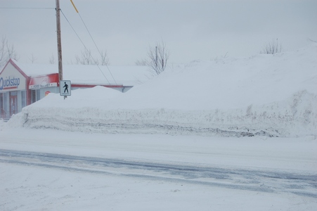
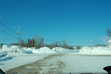
Some of the snowbanks on the main road. Notice the pedestrian crossing
sign, with that much snow, there are no sidewalks. People have to walk
on the main road.
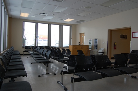
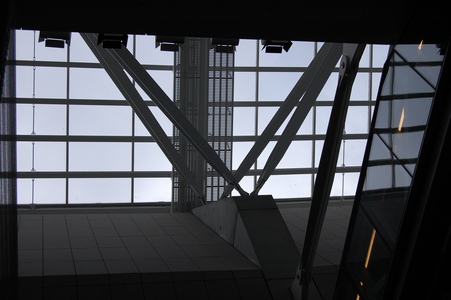
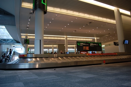
The waiting lounge at the Goose Bay airport.
My flights back to Toronto were on time, was able to walk of the Goose
Bay to Halifax flight and then walk onto the Halifax to Toronto plane.
Because of the connection, my luggage was at the top and it was one of
the first bags out in Toronto.
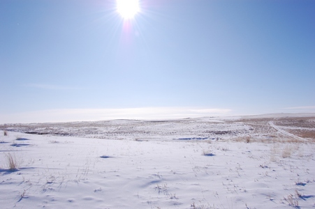
Wednesday, March 11, 2009
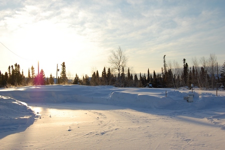
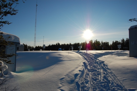
Now This Is Snow
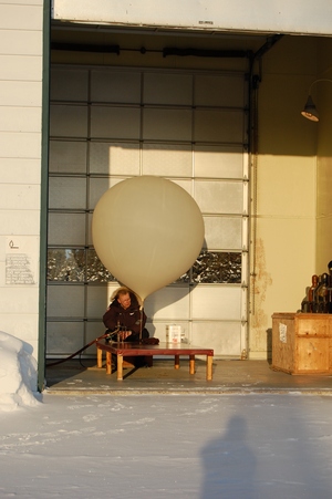
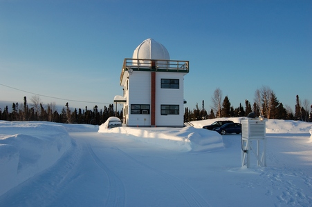
This site also does upper atmosphere measurements for Environment Canada
as well as tropospheric ozonesondes. On this morning the operator was
doind an ozonesonde.
It was a bright sunny day, but not too cold, only around -5°C.
Preparing the weather balloon.
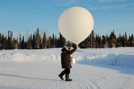
Ready to launch, prior to launch they have to get permission from the
local airport.
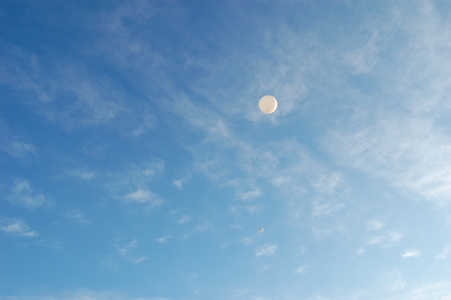
Up, up and away
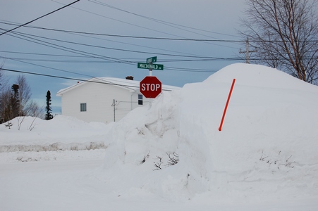
This intersection had five stop signs. You can count four of them, plus
the one I was stopped at.
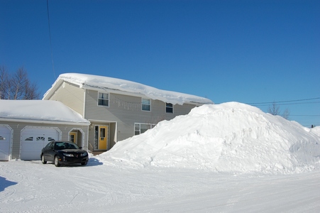
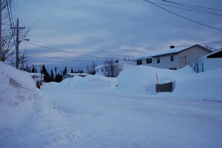
Some of the snow is up to the second floor. This is all snow that has
fallen, no drifting here.
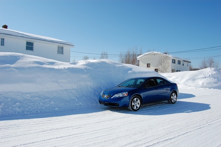
The snowbanks are almost twice as high as my car.
The snow is higher than the stop signs.
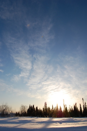
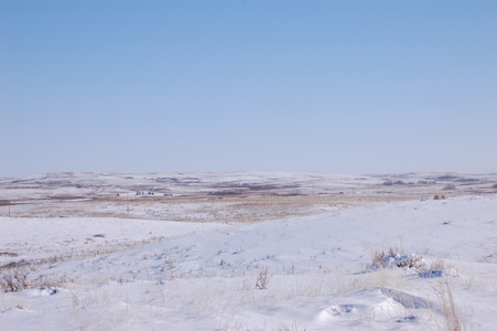
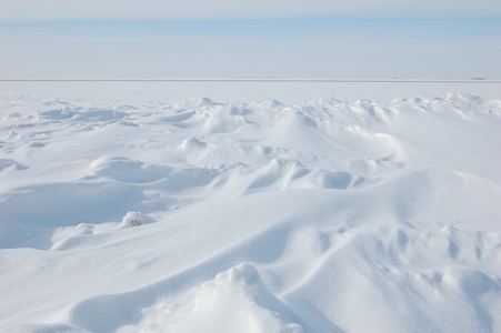
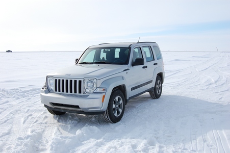
Tuesday, March 10, 2009
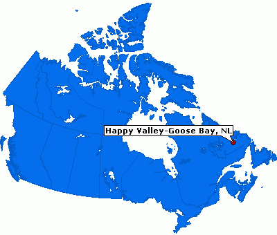
Goose Bay, Labrador
I'm in Labrador this week for a few days. I lucked out with the weather,
it was sunny today and a some of the same for tomorrow. This is my first
visit to Goose Bay and Labrador. Here is a map showing Goose Bay.
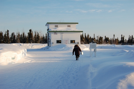
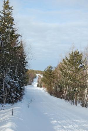
There is about 150 cm of snow on the ground.
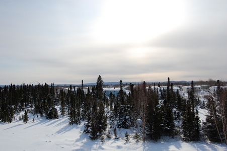
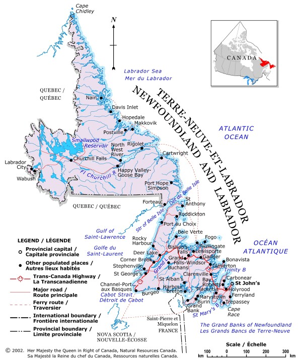
The site is located at an Environment Canada Upper Air site located in
town.
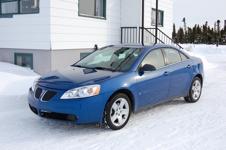
My car rental is a Pontiac G6.
There is a lot of snow here.
Friday, February 27, 2009
Back to YYZ
My flight back to Toronto was suppose to leave at 6:30 am but due to
some mechanical problem, they couldn't load enough water on the plane.
They had to wait for some bottled water and in the end we sat for almost
45 minutes in the plane. Once we were up in the air, they offered a
complimentary beer, liquor or wine for the inconvienience. Keep in mind
it was still not even 7:30 am, so I'm sure it was an easy thing to offer
up, as there were not going to be that many takers.
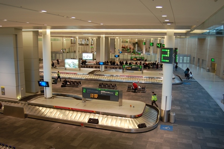
Waiting for my luggage in Toronto.
Thursday, February 26, 2009
Where's Richard?
This was the first morning that the sun was out, but it also meant it
was going to be a cold one.
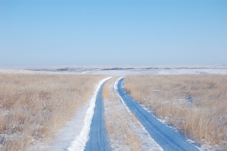
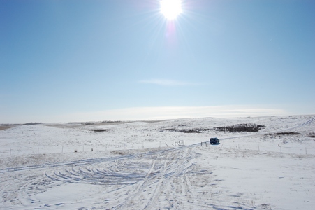
The road into the site, definitely one site where a 4x4 is required.
This is what some of our newer buildings look like, vandal and rodent
proof.
The temperature was -24°C and with the wind it was -34°C windchill.
This is something new that we have started using, it is a Satellite
Personal Tracker, also known as SPOT. It allows us to check-in with the
office while we are in the field to let them know we are okay and have
made it to where we are suppose to be. It has four functions, it can
send an e-mail for help, an e-mail to say OK, a 911 emergency request or
it can track your movement. A lot of times we are in areas where there
is no cell coverage, this allows us to still check in with the office.
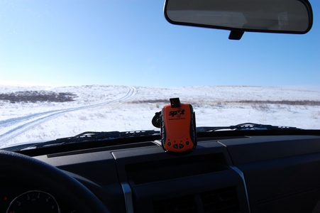
It uses the GPS satellites to pin point your location and then it uses
the communication satellites to send out an e-mail to people on your
list. Each e-mail has a Google maps link that shows where you are. It
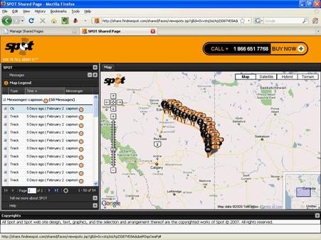
also allows you to have shared
web pages that show your movements. They say that if that couple
from Montreal who got lost near Golden, BC had a SPOT they would have
been found within hours and not 10 days later.
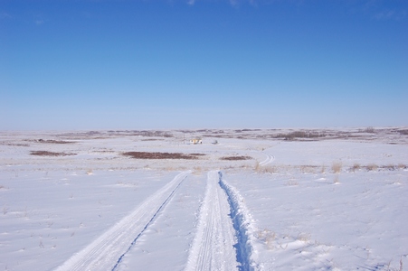
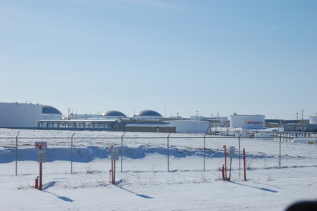
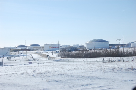
A few more photos as I was leaving the site to drive back to Edmonton.
The huge holding tanks near Hardisty, AB.
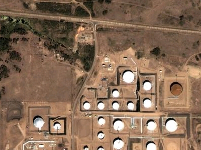
A Google maps satellite view.
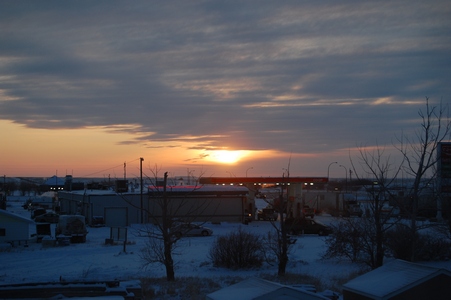
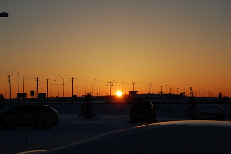
The setting sun in Leduc, AB. Staying out near the airport before flying
back to Toronto friday morning.
Wednesday, February 25, 2009
Who would've thought...
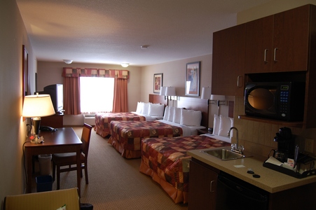
When I planned to come here, I figured getting a hotel room would be the
least of my worries, wrong. It turns out there is major work in the area
on the Keystone Pipeline Project. This is an undertaking by Trans Canada
Pipeline. As a result I spent the first two nights at the Antelope Inn
in Oyen and the third night at the Super 8 which is 4 km north of Oyen.
The only room I could get was this one with three queen beds.
I found this project overview information on the Trans Canada Pipeline
website. The 3,456-kilometre (2,148-mile) Keystone Pipeline will
transport crude oil from Hardisty, Alberta to U.S. Midwest markets at
Wood River and Patoka, Illinois and to Cushing, Oklahoma. The Canadian
portion of the project involves the conversion of approximately 864
kilometres (537 miles) of existing Canadian Mainline pipeline facilities
from natural gas to crude oil transmission service and construction of
approximately 373 kilometres (232 miles) of pipeline, pump stations and
terminal facilities at Hardisty, Alberta. The U.S. portion of the
project includes construction of approximately 2,219 kilometres (1,379
miles) of pipeline and pump stations. A picture off of the internet.
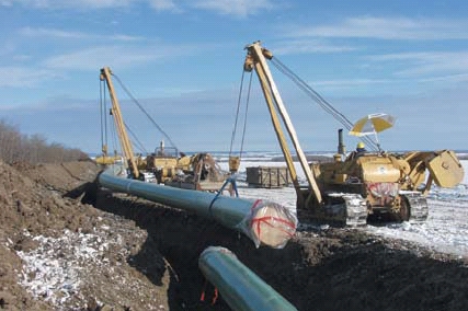
The pipeline construction is approached like an assembly line, with
workers and equipment travelling down the pipeline, completing various
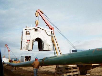
operations in sequence. A welding hut photo from the internet.
Tuesday, February 24, 2009
In the Middle of Nowhere
It was cloudy most of the day, but just before leaving the site the sun
came out.
The site is in the middle of grazing land.
My ride for the week is another Jeep Liberty.
Looking towards the north.
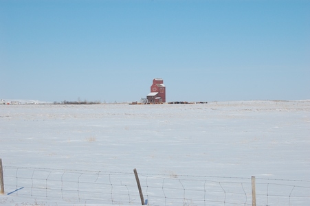
Monday, February 23, 2009
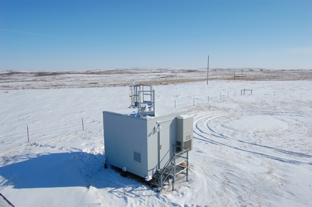
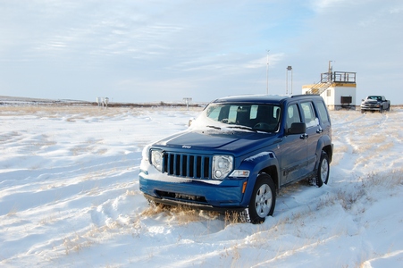
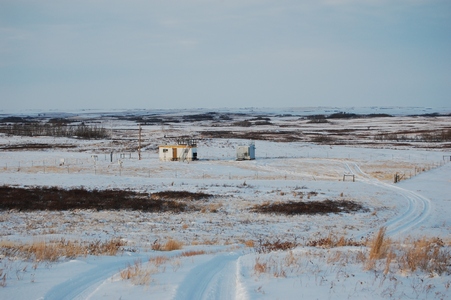
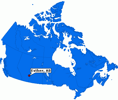
A New Site
This week I'm out in Alberta to install a new precipitation monitoring
site, actually I'm re-installing the site. It was shut down in 2003.
Waiting for my flight in Toronto.
Esther is about a 4.5 hour drive from Edmonton (where I flew into) or
about 3.5 from Calgary. It is close to the Saskatchewan border.
Thursday, February 19, 2009
Saskatchewan Day Trip
I did a day trip out to our site just south of Regina. I was able to
catch an early flight out of Toronto and land by 11:00 local time. I was
there to replace an instrument. I lucked out with the weather, the
forecast all week was for -30°C windchill. It turned out to be sunny,
-15°C and very little wind.
There was still a lot of drifting snow from the winds earlier in the
week.
My rental vehicle for the day was a Jeep Liberty.
I finished what I had to do and then it was back to the airport for the
last flight back to Toronto. I saw a snow owl on the way back, actually
saw it when I was going to the site and it was still on the same power
pole when I went by 5 hours later. It was quiet at the airport when I
checked in as I still had a couple of hours until my flight. I was back
home before midnight, it made for a long day.
Thursday, February 05, 2009
Back to Toronto
It was time to head back to Winnipeg to catch a late day flight back to
Toronto.
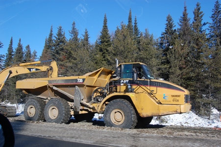
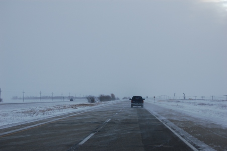
Passing some construction along the Trans Canada.
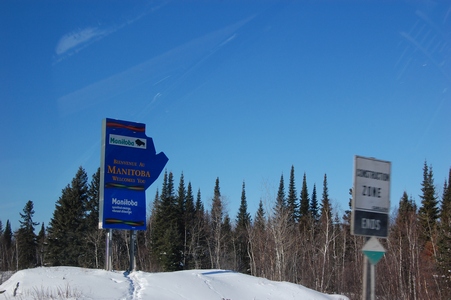
Passing back into Manitoba.
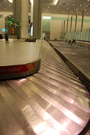
Waiting for my luggage at Pearson.
Wednesday, February 04, 2009
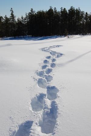
Following the Path
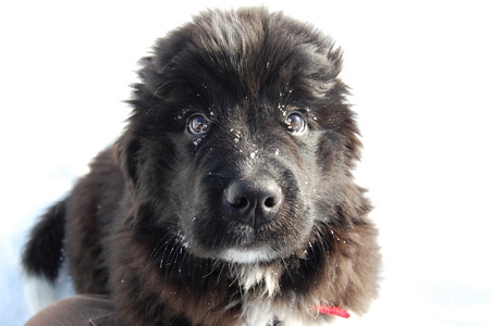
The camp manager has a new puppy, it is a 12 week old Newfoundland dog.
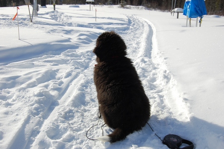
His name is Taiga.
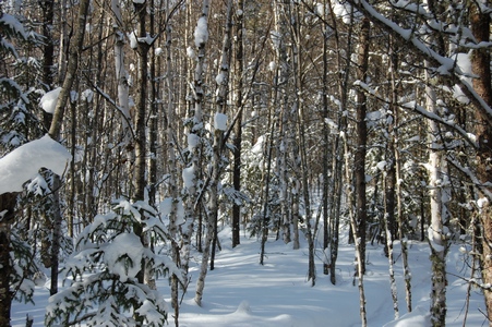
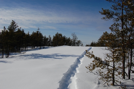
There was a path behind the building, so I followed it.
Some snow caught in the tree.
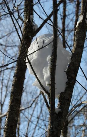
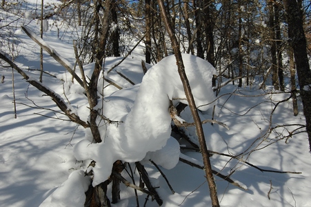
This one looked like a sea serpent.
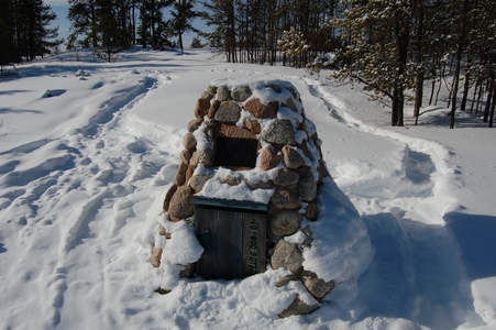
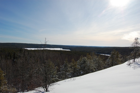
The path leads up to the top of a ridge behind the site. I found a cairn
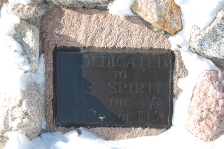
at the top.
The cairn is dedicated to the spirit and people of ELA.
Looking towards the southeast.
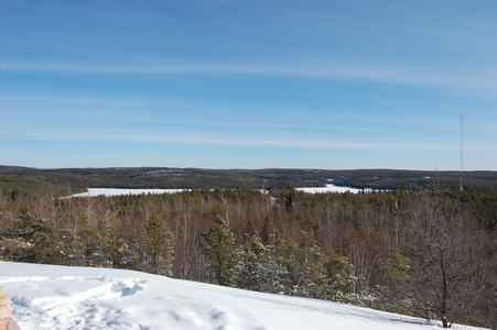
Looking southwest.
I didn't have time to explore the path any further.
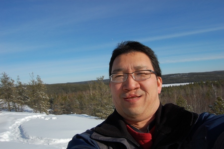
Trying to take my own picture with the new camera, not as easy as with
the point and shoot.
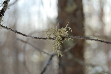
Some moss hanging from a branch.
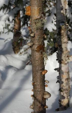
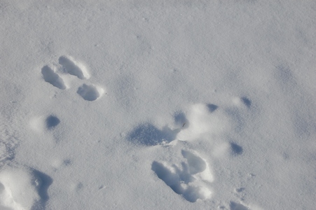
Lots of rabbit tracks, but didn't see any while I was there.
Tuesday, February 03, 2009
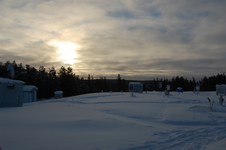
Around The Camp
Temperatures for the week were hovering around -15°C during the daytime
and in the -20's overnight. We lucked out with the weather, usually it
is colder and overcast when I'm here at this time of the year.
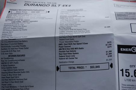
Our ride for the week was a 2009 Dodge Durango.
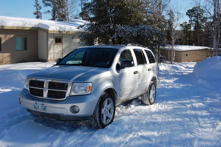
Here is the sticker price that I found in the glovebox.
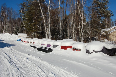
A row of buried ATV's that they use in the summer.
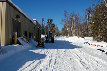
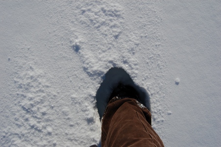
If you got off the main path the snow was deep.
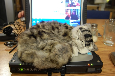
Found this fake cat in the residence. When it was sitting on the couch
it looked pretty real.
Monday, February 02, 2009
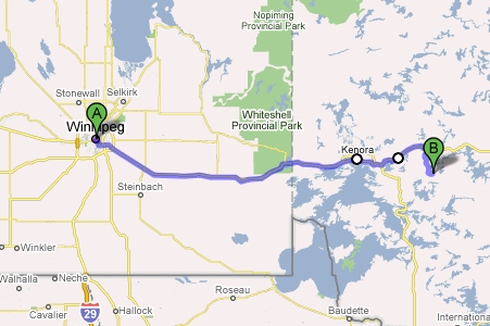
Back on the Road
I am back on the road after staying put during December and January. I
am at the Experimental Lakes Area this week. I flew into Winnipeg and
was able to see Auntie Fumi in the morning. I dropped off some videos
for Dad. From Winnipeg it is about a 4 hour drive.
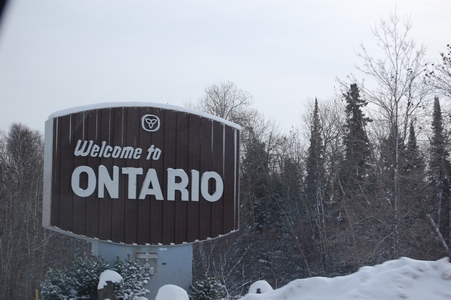
Crossing the border back into Ontario.
The weather was good, sunny but cold.
Map showing where ELA is.
Monday, November 24, 2008
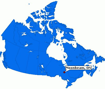
Moonbeam
After a few days at home I was off to Moonbeam, Ontario for another air
tower installation. We drove from Toronto to New Liskeard the first day
and then up to Moonbeam on day 2. This is the last of my travel until
the new year.
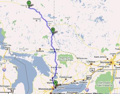
Where is Moonbeam?
Monday, November 17, 2008
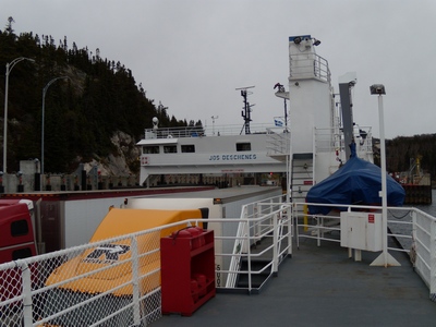
Change of Plans
The weather wasn't co-operating forcing us to make a change in our
itinerary back to Toronto. We arrived at the ferry terminal, only to
find out that due to the weather the ferry had been cancelled. It meant
we had to drive back along the north shore along highway 138. The drive
along the north side is a little more hilly and the highway isn't as
nice. We did have to take another ferry at Tadoussac across the Saguenay
River.
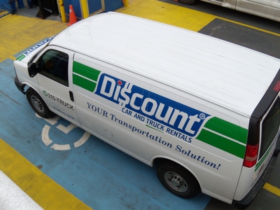
Our rental van.
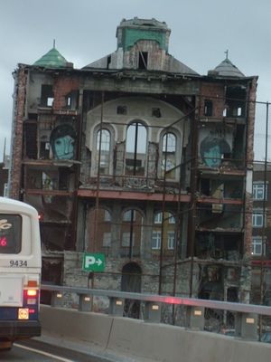
Our stop for the night was in Lévis, just outside of Quebec City. Not
sure what this building was, but it looked like it was cut in half.
Top of page