From Here To There... Archive
February 2009
Main
| November 2008 »
Monday, February 23, 2009
A New Site
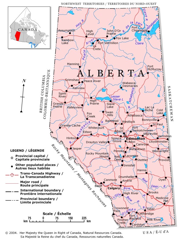
This week I'm out in Alberta to install a new precipitation monitoring
site, actually I'm re-installing the site. It was shut down in 2003.
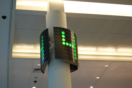
Waiting for my flight in Toronto.
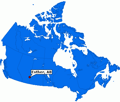
Esther is about a 4.5 hour drive from Edmonton (where I flew into) or
about 3.5 from Calgary. It is close to the Saskatchewan border.
Tuesday, February 24, 2009
In the Middle of Nowhere
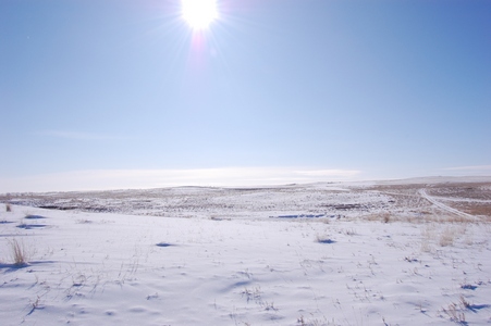
It was cloudy most of the day, but just before leaving the site the sun
came out.
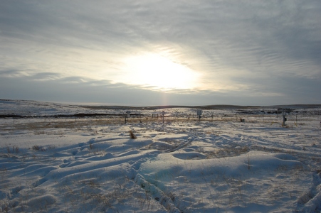
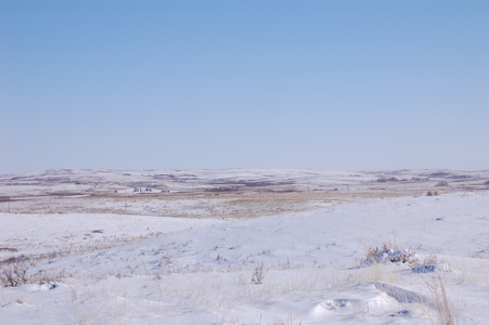
The site is in the middle of grazing land.
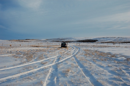
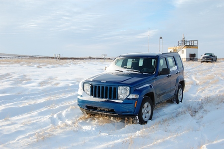
My ride for the week is another Jeep Liberty.
Looking towards the north.
Wednesday, February 25, 2009
Who would've thought...
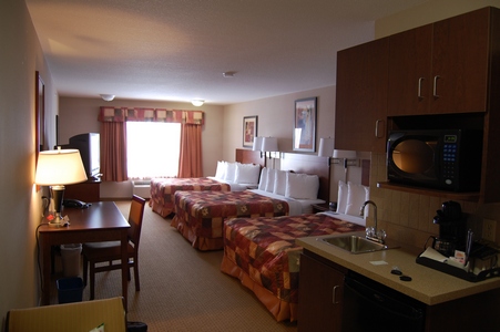
When I planned to come here, I figured getting a hotel room would be the
least of my worries, wrong. It turns out there is major work in the area
on the Keystone Pipeline Project. This is an undertaking by Trans Canada
Pipeline. As a result I spent the first two nights at the Antelope Inn
in Oyen and the third night at the Super 8 which is 4 km north of Oyen.
The only room I could get was this one with three queen beds.
I found this project overview information on the Trans Canada Pipeline
website. The 3,456-kilometre (2,148-mile) Keystone Pipeline will
transport crude oil from Hardisty, Alberta to U.S. Midwest markets at
Wood River and Patoka, Illinois and to Cushing, Oklahoma. The Canadian
portion of the project involves the conversion of approximately 864
kilometres (537 miles) of existing Canadian Mainline pipeline facilities
from natural gas to crude oil transmission service and construction of
approximately 373 kilometres (232 miles) of pipeline, pump stations and
terminal facilities at Hardisty, Alberta. The U.S. portion of the
project includes construction of approximately 2,219 kilometres (1,379
miles) of pipeline and pump stations. A picture off of the internet.
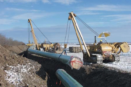
The pipeline construction is approached like an assembly line, with
workers and equipment travelling down the pipeline, completing various
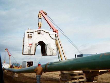
operations in sequence. A welding hut photo from the internet.
Thursday, February 26, 2009
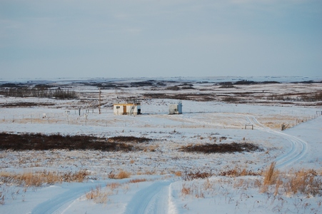
Where's Richard?
This was the first morning that the sun was out, but it also meant it
was going to be a cold one.
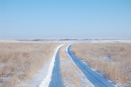
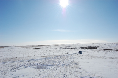
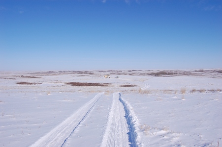
The road into the site, definitely one site where a 4x4 is required.
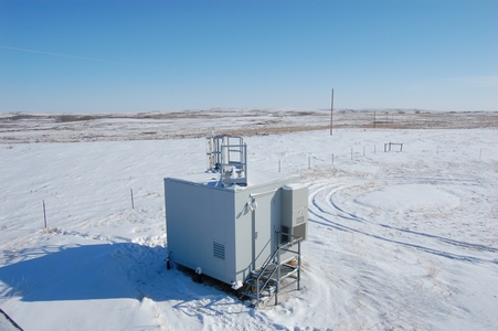
This is what some of our newer buildings look like, vandal and rodent
proof.
The temperature was -24°C and with the wind it was -34°C windchill.
This is something new that we have started using, it is a Satellite
Personal Tracker, also known as SPOT. It allows us to check-in with the
office while we are in the field to let them know we are okay and have
made it to where we are suppose to be. It has four functions, it can
send an e-mail for help, an e-mail to say OK, a 911 emergency request or
it can track your movement. A lot of times we are in areas where there
is no cell coverage, this allows us to still check in with the office.
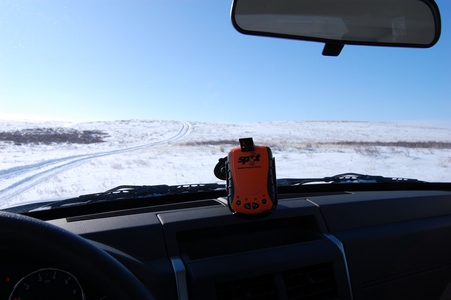
It uses the GPS satellites to pin point your location and then it uses
the communication satellites to send out an e-mail to people on your
list. Each e-mail has a Google maps link that shows where you are. It
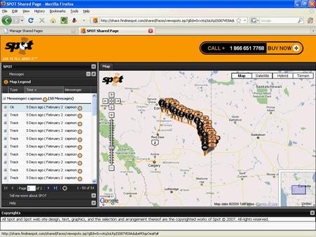
also allows you to have shared
web pages that show your movements. They say that if that couple
from Montreal who got lost near Golden, BC had a SPOT they would have
been found within hours and not 10 days later.
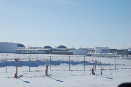
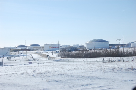
A few more photos as I was leaving the site to drive back to Edmonton.
The huge holding tanks near Hardisty, AB.
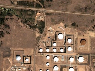
A Google maps satellite view.
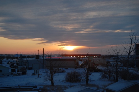
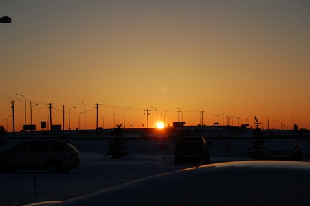
The setting sun in Leduc, AB. Staying out near the airport before flying
back to Toronto friday morning.
Friday, February 27, 2009
Back to YYZ
My flight back to Toronto was suppose to leave at 6:30 am but due to
some mechanical problem, they couldn't load enough water on the plane.
They had to wait for some bottled water and in the end we sat for almost
45 minutes in the plane. Once we were up in the air, they offered a
complimentary beer, liquor or wine for the inconvienience. Keep in mind
it was still not even 7:30 am, so I'm sure it was an easy thing to offer
up, as there were not going to be that many takers.
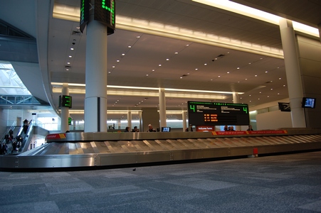
Waiting for my luggage in Toronto.
Main page