From Here To There... Categories
Maps
« Buildings |
Main
| Movies »
Monday, November 24, 2008
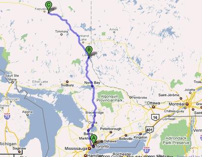
Moonbeam
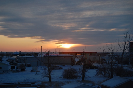
After a few days at home I was off to Moonbeam, Ontario for another air
tower installation. We drove from Toronto to New Liskeard the first day
and then up to Moonbeam on day 2. This is the last of my travel until
the new year.
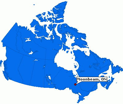
Where is Moonbeam?
Monday, February 02, 2009
Back on the Road
I am back on the road after staying put during December and January. I
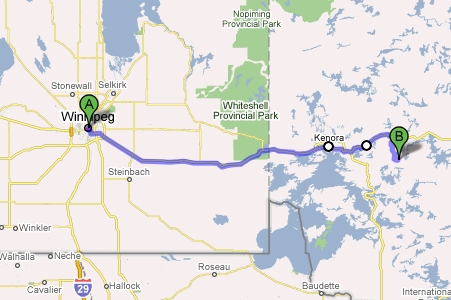
am at the Experimental Lakes Area this week. I flew into Winnipeg and
was able to see Auntie Fumi in the morning. I dropped off some videos
for Dad. From Winnipeg it is about a 4 hour drive.
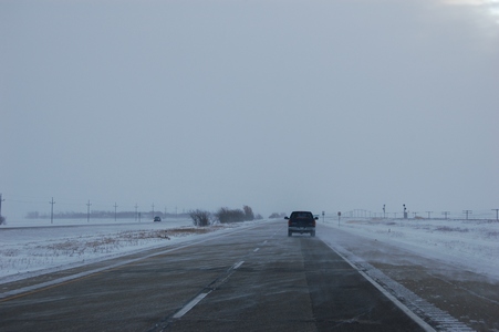
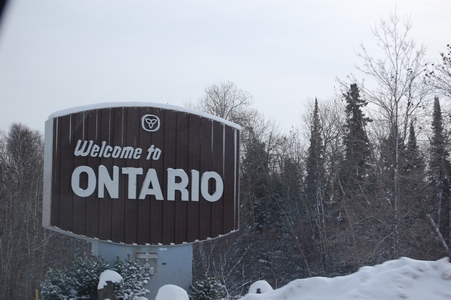
Crossing the border back into Ontario.
The weather was good, sunny but cold.
Map showing where ELA is.
Monday, February 23, 2009
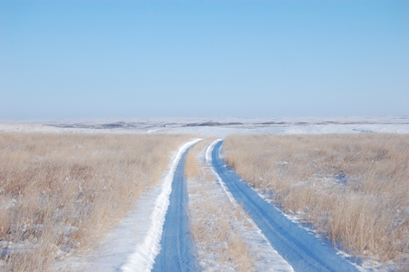
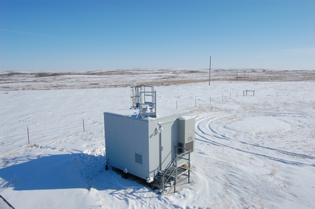
A New Site
This week I'm out in Alberta to install a new precipitation monitoring
site, actually I'm re-installing the site. It was shut down in 2003.
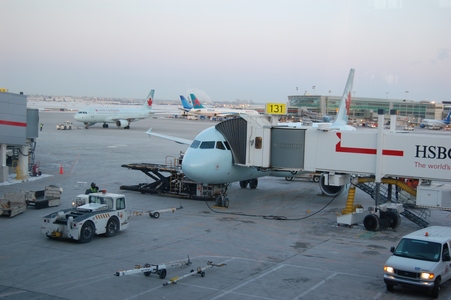
Waiting for my flight in Toronto.
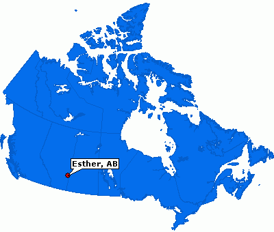
Esther is about a 4.5 hour drive from Edmonton (where I flew into) or
about 3.5 from Calgary. It is close to the Saskatchewan border.
Thursday, February 26, 2009
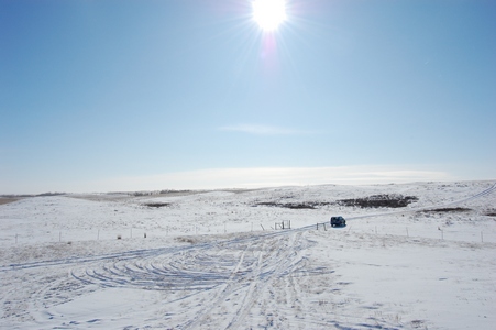
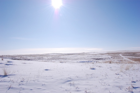
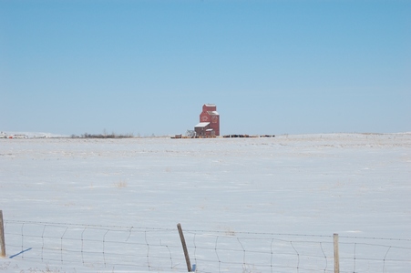
Where's Richard?
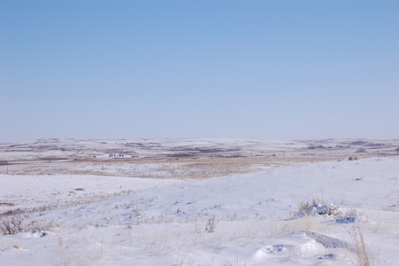
This was the first morning that the sun was out, but it also meant it
was going to be a cold one.
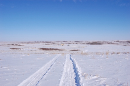
The road into the site, definitely one site where a 4x4 is required.
This is what some of our newer buildings look like, vandal and rodent
proof.
The temperature was -24°C and with the wind it was -34°C windchill.
This is something new that we have started using, it is a Satellite
Personal Tracker, also known as SPOT. It allows us to check-in with the
office while we are in the field to let them know we are okay and have
made it to where we are suppose to be. It has four functions, it can
send an e-mail for help, an e-mail to say OK, a 911 emergency request or
it can track your movement. A lot of times we are in areas where there
is no cell coverage, this allows us to still check in with the office.
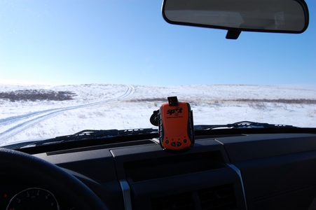
It uses the GPS satellites to pin point your location and then it uses
the communication satellites to send out an e-mail to people on your
list. Each e-mail has a Google maps link that shows where you are. It
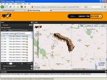
also allows you to have shared
web pages that show your movements. They say that if that couple
from Montreal who got lost near Golden, BC had a SPOT they would have
been found within hours and not 10 days later.
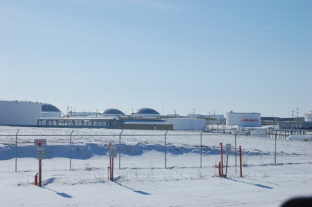
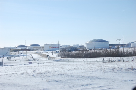
A few more photos as I was leaving the site to drive back to Edmonton.
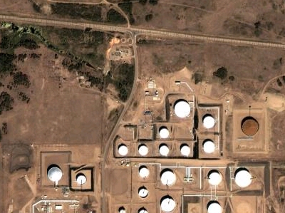
The huge holding tanks near Hardisty, AB.
A Google maps satellite view.
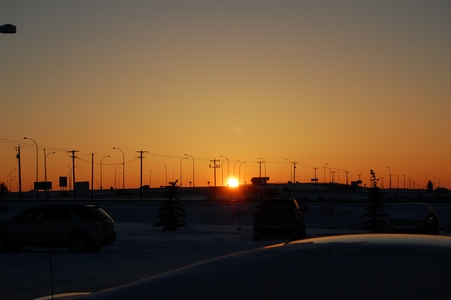
The setting sun in Leduc, AB. Staying out near the airport before flying
back to Toronto friday morning.
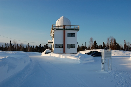
Tuesday, March 10, 2009
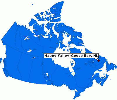
Goose Bay, Labrador
I'm in Labrador this week for a few days. I lucked out with the weather,
it was sunny today and a some of the same for tomorrow. This is my first
visit to Goose Bay and Labrador. Here is a map showing Goose Bay.
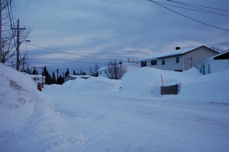
There is about 150 cm of snow on the ground.
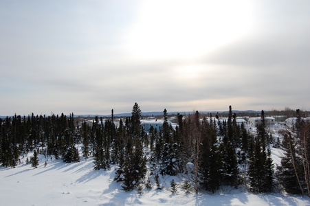
The site is located at an Environment Canada Upper Air site located in
town.
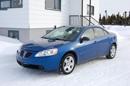
My car rental is a Pontiac G6.
There is a lot of snow here.
Main page