From Here To There... Archive
July 2008
« August 2008 |
Main
| June 2008 »
Sunday, July 06, 2008
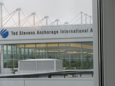
Arrived in Anchorage
I made it to Anchorage, Alaska today after a long day of travel. I left
the house at 6:30am and arrived in Anchorage at 2:00pm Alaska Time. They
are 4 hours behind the Toronto time. I flew Toronto to Minneapolis and
then from Minneapolis to Anchorage. That leg is 5 hours 45 minutes.
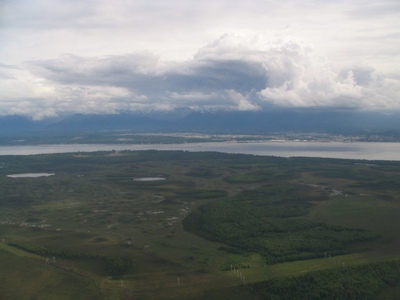
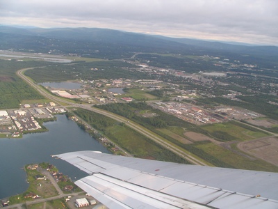
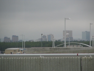
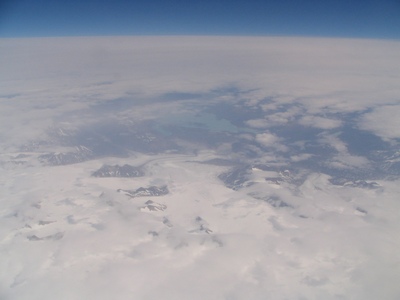
Some of the scenery flying into Anchorage.
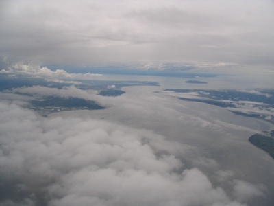
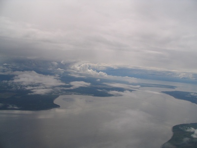
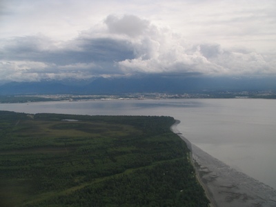
Closer to the City of Anchorage.
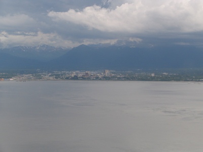
Cook Inlet on the approach to Anchorage.
The weather was cloudy and the rest of the week in Anchorage is much of
the same. When I head north towards the interior it should clear up abit.
Tuesday, July 08, 2008
Anchorage to Fairbanks
It was an early start to the morning with a flight from Anchorage to
Fairbanks at 6:00am.
It's even earlier when the body hasn't adjusted and it's still waking up
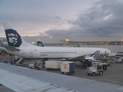
at 3:30am. The flight was on Alaska Airlines.
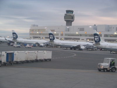
The plane was a 737-400 combo plane. The front half is for cargo and the
seats start at the middle and towards the rear.
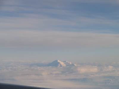
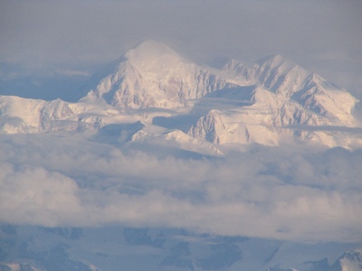
As we flew from Anchorage to Fairbanks, Denali (Mount McKinley) rises
from the clouds. Denali is the highest mountain peak on North America at
20,320 feet.
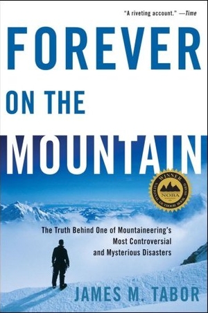
I'm currently reading "Forever on the Mountain", it is a detailed
account of the doomed 1967 Wilcox-McKinley Expedition. In the end only
five of the twelve expedition members survived.
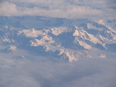
A closeup of Mount McKinley.
Mount McKinley is located in the Alaska range.
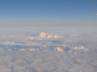
Another view of Mount McKinley as we passed by.
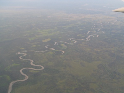
Eventually we hit the Interior area which is fairly flat and green.
Making the approach into Fairbanks.
Fairbanks to Bettles
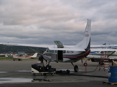
After landing in Fairbanks we had an hour before our flight to Bettles.
Little did we know that we had to take a taxi to the other side of the
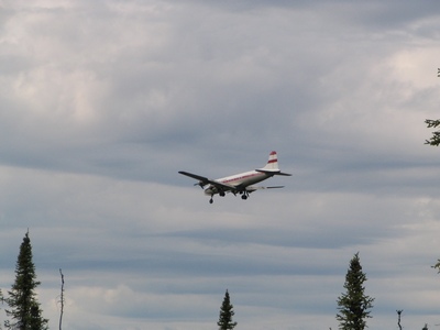
airport to catch the air taxi. This was the airplane that took nine
people to Bettles.
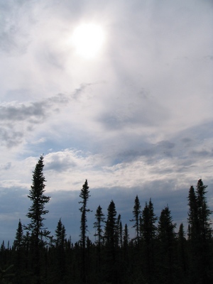
It was a cloudy, overcast day as we flew to Bettles.It took just over an
hour to fly there.
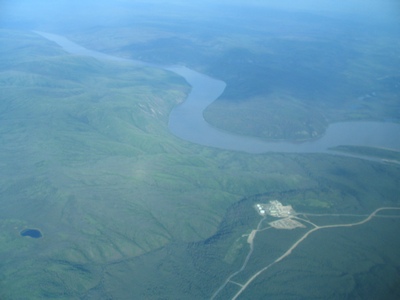
We flew over parts of the Alaska pipeline. That building in the middle
of nowhere looked like some sort of sub-station for the pipeline.
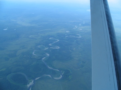
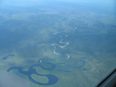
There were lots of meandering rivers and oxbow lakes from when the path
of the river changed.
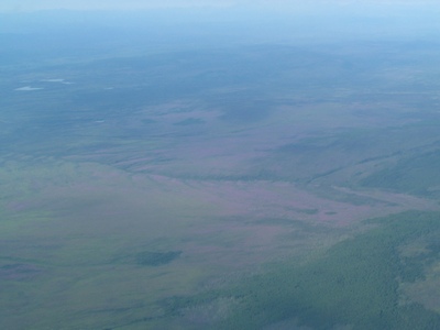
It might be hard to see but there was an area that appeared purple, it
was probably from wildflowers, but it only seemed to be the one area.
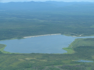
The float pond at Bettles. Bettles is a starting point for many people
who go hiking/exploring in the Gates of the Arctic National Park. The
only way in is by small float planes. We actually landed on the gravel
airstrip.
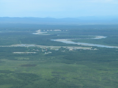
The city of Bettles,
Alaska. The Koyukuk River runs nearby. The original Bettles started in
1899 as a gold rush trading post.
Bettles, Alaska
Bettles is further north than Iqaluit, Nu but not further north than
Pond Inlet (or Alert). A map showing where Bettles is located.
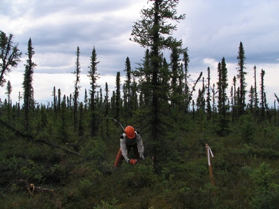
The site was on the north side of town. Some of the trees had to be cut
down and cleared. The ground was like walking on sponge. It wasn't flat
and some places would suck you in. Below it a few feet is the permafrost
layer.
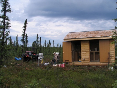
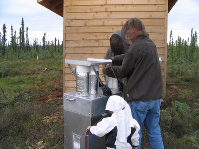
This building was made in Fairbanks and brought up to Bettles on the ice
road last winter. There was no power at the site yet, it seems the
National Park Services gets tied up in the same red tape and levels of
bureaucracy that we encounter when setting up our sites. They had a
portable generator for the training of the operators.
The airstrip at Bettles is quite busy, they are three air taxi companies
that fly in and out a couple of times a day.
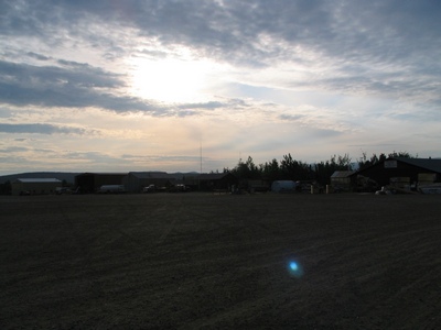
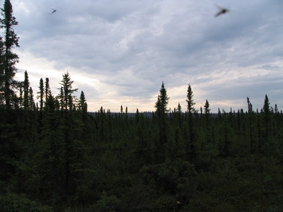
It was very quiet and peaceful at the site, save for when the generator
was going. Also the constant hum of the mosquitos in your ear was
distracting.
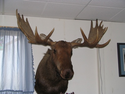
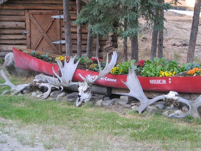
This guy was hanging on the wall in the lounge of the lodge I was
staying in.
Wednesday, July 09, 2008
Around Town
I can now say I have been to the remote interior of Alaska and survived.
On the second day I went for a walk around town. And when I say town it
is just a few buildings. It wasn't quite 24 hour sun, but pretty close,
there were only a few hours of night, the days would start getting
shorter by a few minutes each day until they hit 24 hour dark by
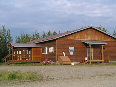
November. This is the building I stayed in, it is part of the Bettles
Lodge.
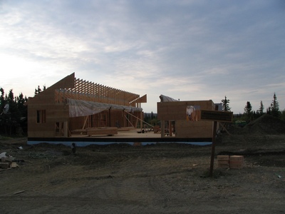
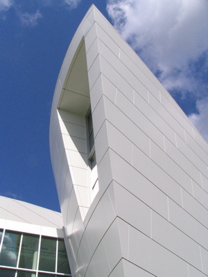
This is the new National Park Service Visitor Centre that was being
built. It was replacing a previous one which burnt down a few years ago.
The NPS, the Fish and Wildlife Service, airport and the Bettles Lodge
are the main employers.
There are only two lodges in town, but both are now owned by the same
person. It use to be separate families and it was pretty much a
Hatfield-McCoy type of deal. Eventually one drove the other out of
business.
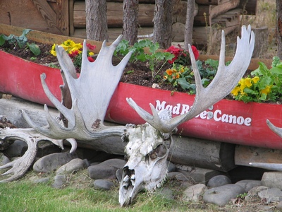
A close-up of the moose skull.
Much of the time I was in Bettles it was sunny, partly cloudy. Yesterday
we watched a storm blow around us. There was thunder and lightening, but
we missed most of it.
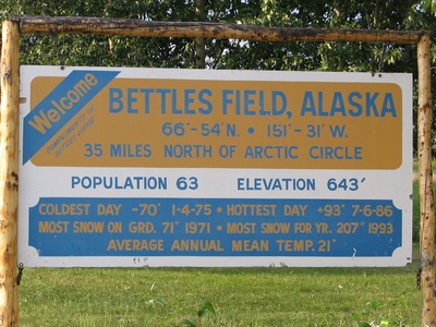
Some stats on Bettles. Although it is called Bettles it is really
Bettles Field, the original town is downstream, but was pretty much
abandoned once the airstrip was built.
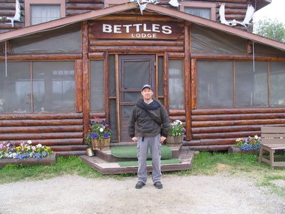
The main Bettles Lodge. There is a large portion of tourists from Japan
and Germany. The majority of them pay big bucks to come in
February-March during the prime Northern Lights (Aurora Borealis)
viewing period.
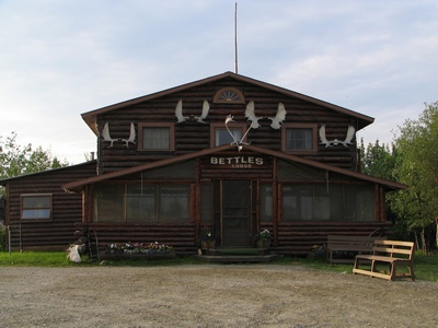
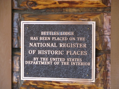
It is a Historic Place.
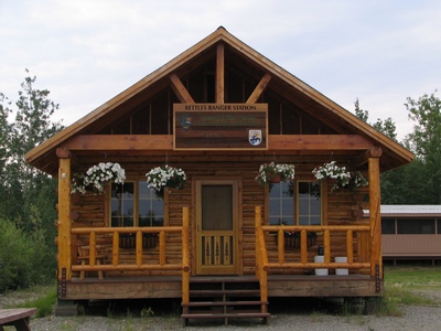
The Bettles Ranger Station. Most of the National Parks Service staff are
seasonal, except for one lone guy who stays through the winter to keep
the buildings going.
We had to make another trip out to the site. The mosquitoes were even
worse than the previous day. Those birds in the picture are actually
mosquitoes.
Everyone had on their bug dope and bug jackets on today.
Here I am in front of the lodge.
Fairbanks, Alaska
I had some time in Fairbanks before my flight back to Anchorage.
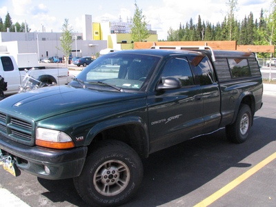
Fortunately one of the National Parks Service guys we went to Bettles
with offered the use of his truck if I wanted to take a tour. It sure is
a different way of life up here, can you imagine someone making the same
offer in Toronto to a guy they met the day before. This was Jim's truck.
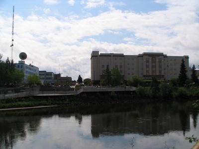
I made a quick drive downtown and parked near the visitor centre. The
Chena River flows through the city.
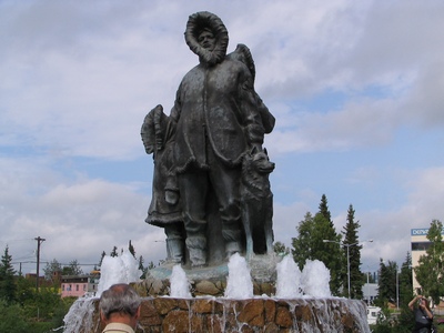
This monument is next to the Visitor Centre. It honours Alaska's
"Unknown First Family". It is by Malcolm Alexander and is 'dedicated to
all families past, present and future, and to the indomitable spirit of
the people of Alaska's interior'.
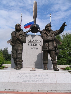
This monument is the Alaska-Siberia Lend Lease statue. The memorial
commemorates Russian and American aviators and support troops
responsible for ferrying nearly 8,000 American-built warplanes from the
Midwest through Canada to Fairbanks, where Russian pilots then flew the
planes to Siberia during World War II.
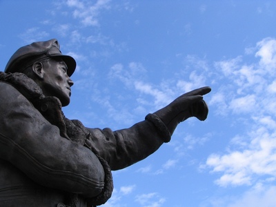
"Da-plane, da-plane!!"
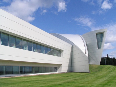
Next I went to the University
of Alaska Museum of the North. The campus is situated on top of a
hill and it gives a view of Fairbanks. Like any building paid for by
public funds controversy surrounds it. The NPS guy said there were
complaints about the winning design and the location.
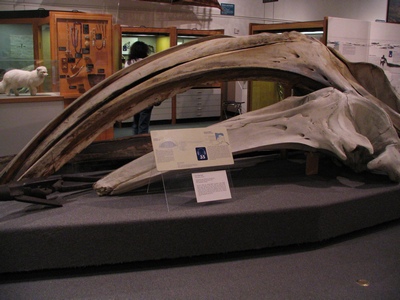
The main hall is a natural history of Alaska. This a skull of a bowhead
whale.
This is a bronzed cast polar bear, it almost looked like it was a huge
jade carved bear.
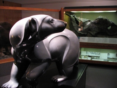
It's amazing how big these things are.
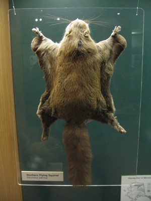
A flying squirrel.
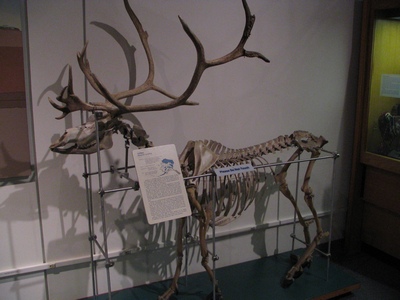
A complete caribou skeleton.
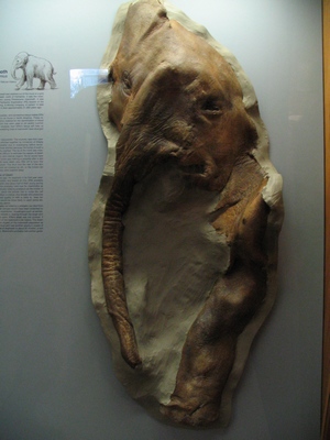
The remains of a baby wooly mammoth they found in the ice. You can see
the head, shoulder and one leg.
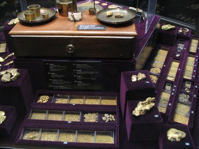
A display of gold.
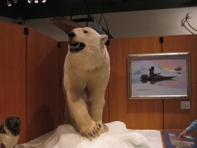
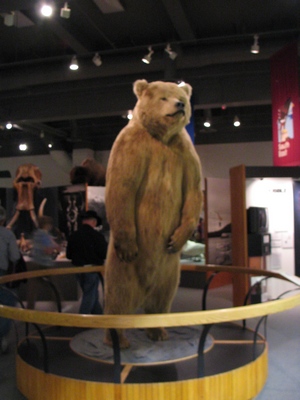
A big brown bear at the entrance. They had a good exhibit called "Forced
to Leave". It is a photo exhibition that tells about the World War II
evacuation of Alaska's Japanese Americans and Aleuts.
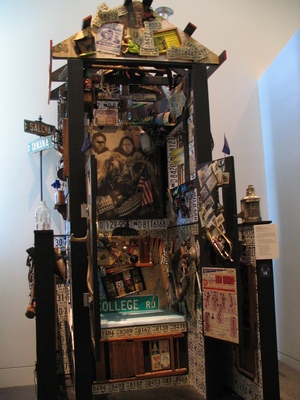
Another part of the museum is Alaskan art. This is some crazy looking
outhouse.
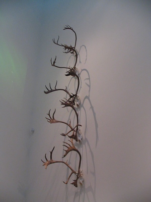
Some antlers on a wall.
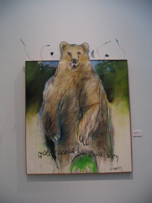
This bear painting goes beyond the canvas.
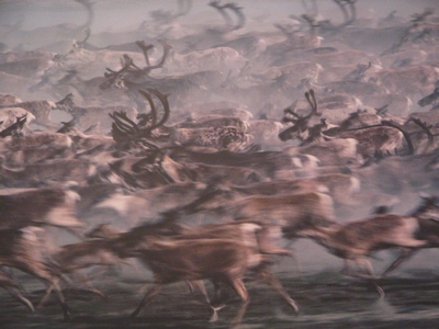
You can almost feel the caribou rushing past you.
Another shot of the exterior of the museum. As you can see the weather
in Fairbanks was beautiful, they have been going through a stretch of
weather in the 80's, this part of interior Alaska must have similar
weather to the interior of BC.
Thursday, July 10, 2008
South of Anchorage
I had some time on my last day in Anchorage to take in some sights. I
decided to rent a car and drive south of Anchorage towards Portage Lake.
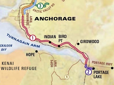
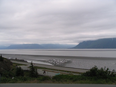
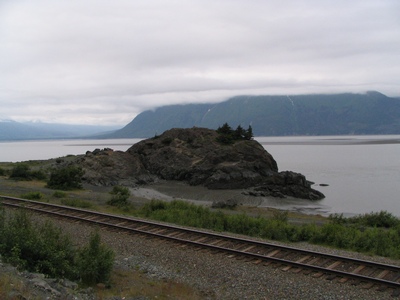
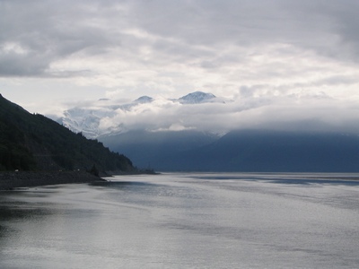
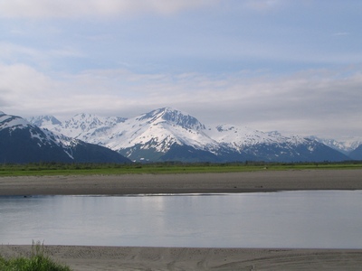
This is Turnagain Arm, you can see the mudflats in the foreground. A
couple of people have died after venturing out and getting stuck in the
fine silt and then being unable to get their leg free as high tide comes
in.
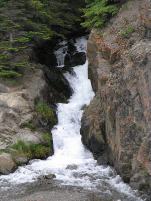
This is McHugh Creek, just one of many that flow down towards Turnagain
Arm.
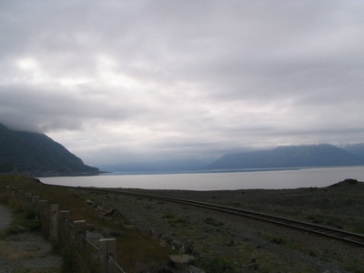
This was Beluga Point, didn't see any belugas though because of the low
tide.
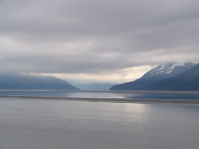
Looking east in towards the arm.
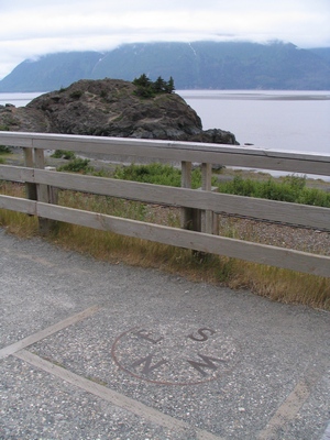
A compass on the ground to orient yourself.
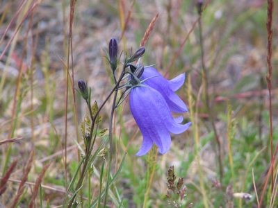
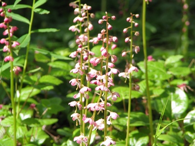
Some wildflowers near one of the lookouts.
Most of the drive was in cloudy overcast skies.
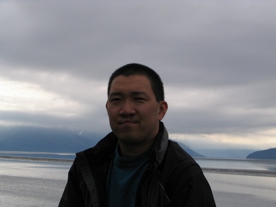
A timer picture of me.
Turnagain Arm is one of the few places in the world (about 60 places)
that have tidal bores. The Bay of Fundy being one of the larger tidal
ranges.
This was closer to the Portage turnoff.
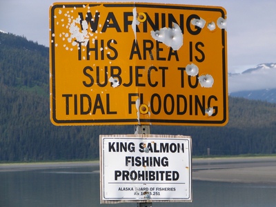
There was no sign prohibiting the use of firearms.
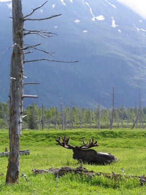
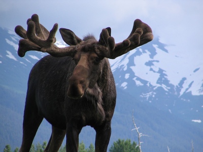
I was able to see a moose in his natural habitat.
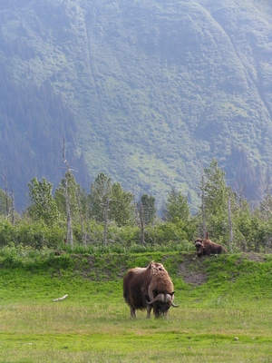
And then I saw some muskox by the side of the road.
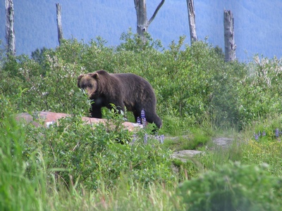
And wouldn't luck have a brown bear was off in the distance.
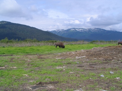
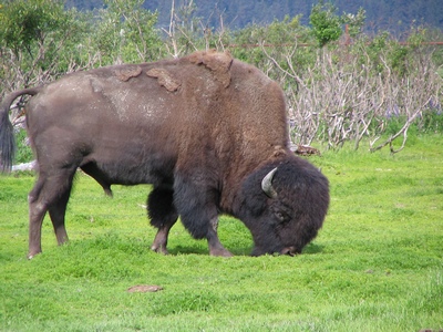
There were a couple of wood bison minding their own business.
I wasn't sure if this moose was thinking of charging.
You must of figured out by now that these animals weren't quite as free
and wild as they look. Close to the Portage Lake turnoff is the Alaska
Wildlife Conservation Centre. This place takes in injured or
orphaned animals. You can either drive through it or park and walk
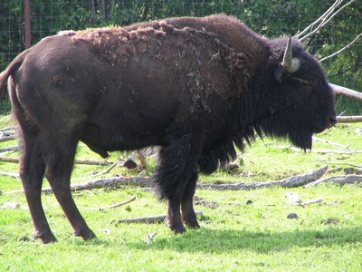
through. Here is a close-up of the Wood Bison, this herd was from
Canada, they are there for a couple of years and then they will be
released into the wild.
They had the Sitka Black Tailed deer and elk mixed in together.
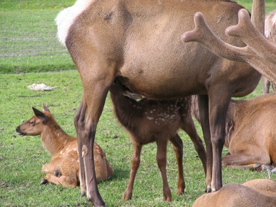
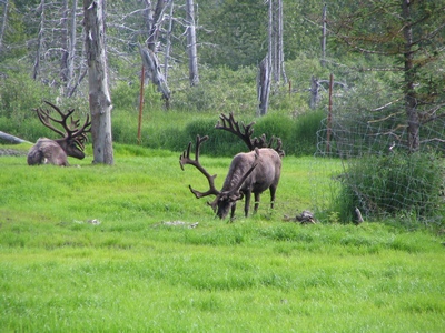
Caribou or "reindeer" grazing in their compound.
This was a Plains Bison different from the Wood Bison above.
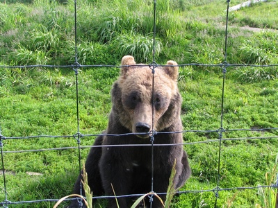
The brown bear sitting for a picture. As you can see there isn't much
between the bear and me, it is about 6ft away, behind an electric fence,
the fence and then a rail fence on my side.
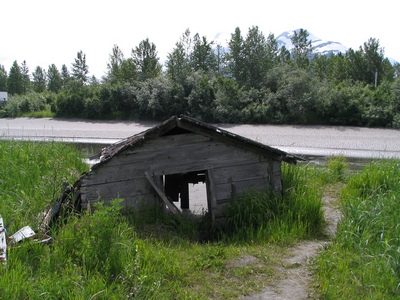
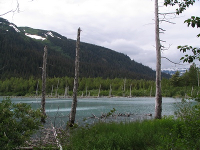
This cabin is the remenants of the 1964 earthquake that hit Alaska, it
register 9.2 on the Ricter scale, the largest ever in the Northern
Hemisphere. The town of Portage was destroyed, and many areas dropped so
much that the saltwater killed much of the low lying forests and
surrounding vegetation.
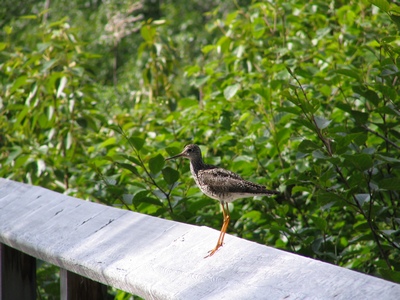
This bird kept flying around when I was walking along a trail.
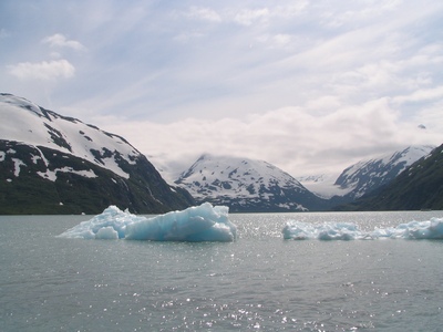
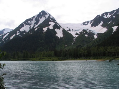
This is Portage Lake, the icebergs are from the Portage Glacier. The
glacier comes down and enters the water and extends about 100 feet into
the water.
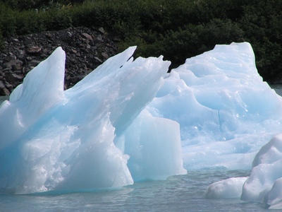
The glacier use to extend right across the lake, in order to see it
close-up you need to take a cruise boat up to the face of it.
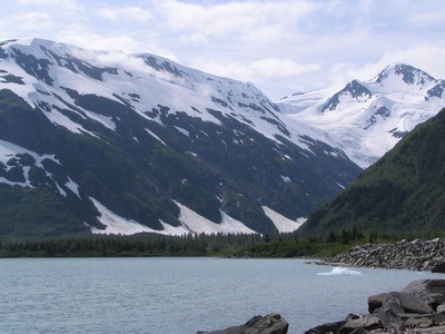
If you drive a little further there is a viewpoint where you can
actually see part of the glacier.
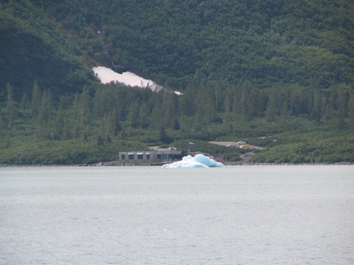
The Begich-Boggs Visitor Center, the glacier use to reach the visitor
center in 1911.
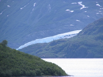
This either the Burns or Byron glacier.
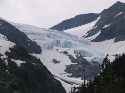
A hanging glacier in the distance.
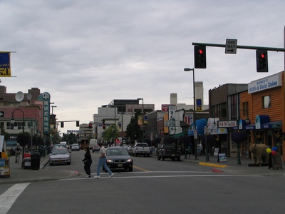
Downtown Anchorage
I headed downtown when I got back to Anchorage to pick up some t-shirts
for the girls.
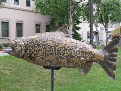
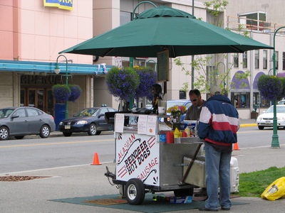
Around town they had these salmon on a stick, I think it is like the
Toronto Moose, Halifax lobsters, Victoria whales and Winnipeg bears.
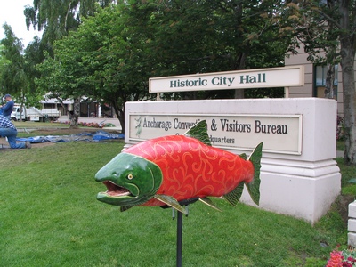
Alaska celebrates its 50th year in 2009.
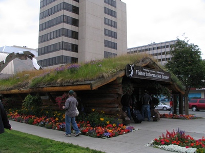
The Anchorage Visitor Information Center with its sod roof.
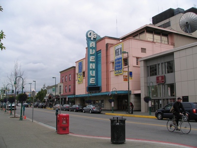
The 4th Avenue theatre built in 1947. It is no longer a threatre but a
banquet hall.
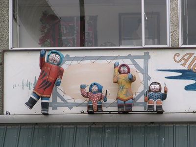
Some eskimo statues on a sign.
I tried one of the reindeer sausages, it was quite good.
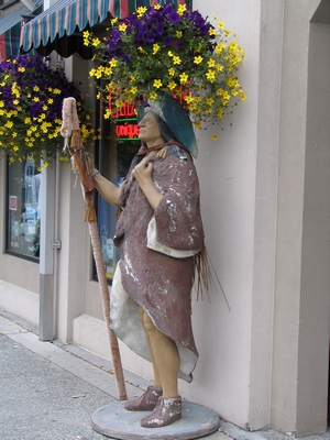
An indian outside one of the gift shops.
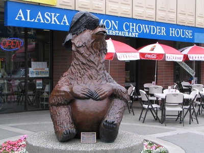
The Bear and Raven statue.
Looking down 4th Avenue.
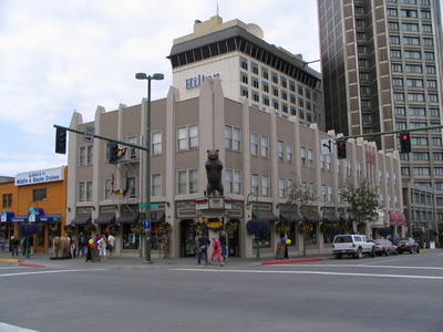
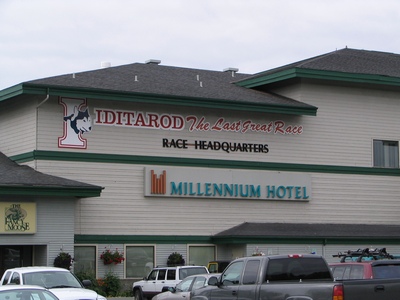
This hotel was down the street from my hotel.
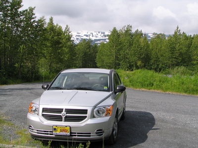
My rental car was a Dodge Calibre, just like the one I had in Sept Isles
last month.
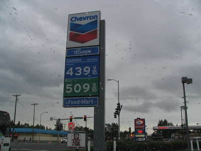
Gas prices in Anchorage were $4.39 per gallon, that was the equivalent
of $1.17 per litre. The average price in the US is $4.11 per gallon.
Friday, July 11, 2008
Heading Home...
It was another full day of travel, I was flying from Anchorage to
Minneapolis and then to Toronto. My flight left at 9:30am Alaska time
and arrived at 10:08pm Toronto time.
Anchorage off in the distance.
Inside the airport.
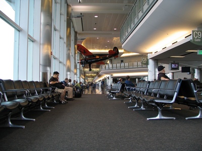
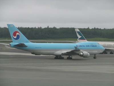
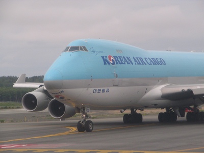
The airport is quite busy, there is alot of Cargo planes that are coming
from Asia and then heading south.
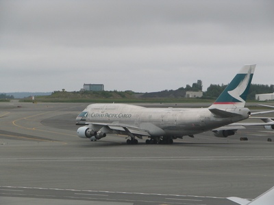
This cargo plane from Korean Air landed and took off shortly after we
did. It must have just been refueling.
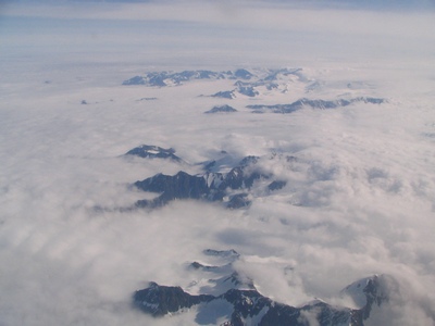
Flying over the mountains.
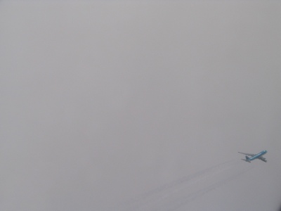
It was weird looking out the window and seeing another plane flying next
to us. It was the Korean Air cargo plane that was flying faster at a
lower altitude.
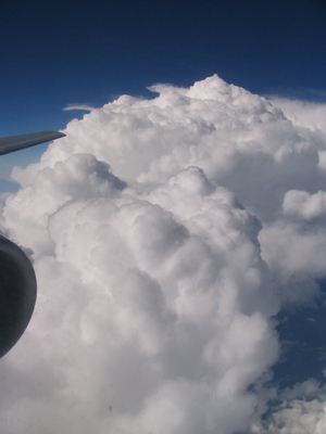
Closer to Minneapolis we went by a nice set of clouds.
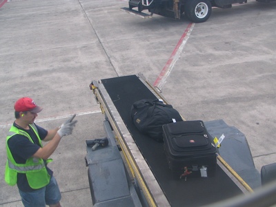
While we were waiting to take-off I watched as my luggage (the duffle
bag) was brought over from the other plane, it was nice to see it being
loaded. But a few minutes later I watched as they took it back off along
with other bags, I was thinking they may be redistributing the weight,
but it turned out there was a no show, so they had to remove the bags.
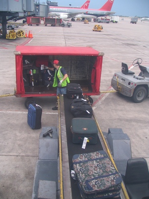
Here is my bag being loaded for a second time.
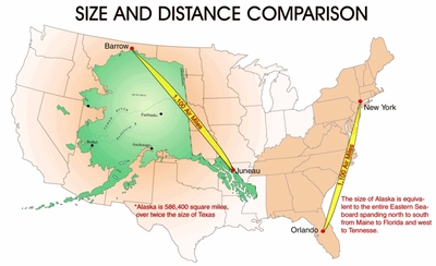
One last map to show how big Alaska is. If superimposed on a map of the
Lower 48, it would take up one-sixth the area, it is over twice the size
of Texas.
Thursday, July 24, 2008
Deep River Trip
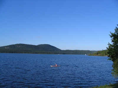
I spent the week in the Deep River/Chalk River area. I was up at our
site located in the AECL facility at Chalk River. I stayed in Deep River
this time. It is a lot closer than Pembroke which was nicer. The
restaurant choices are limited, so we did end up down in Pembroke one
night. All the towns in that area are along the Ottawa River.
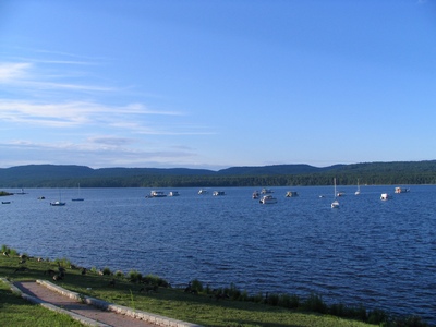
We had a good week of weather, unlike the Toronto area that had a lot of
rain and thunderstorms. Deep River is located across the river from the
Laurentians.
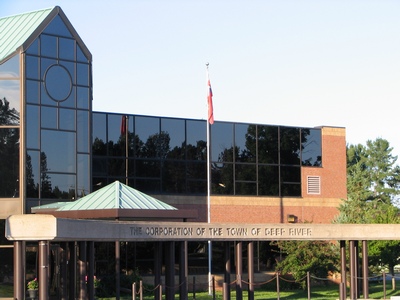
The town of Deep River was constructed in 1944 by the federal government
as part of the Manhatten Project for employees at the Chalk River
nuclear facility. The population is approximately 4300 and suprisingly
it has its own police force.
Main page