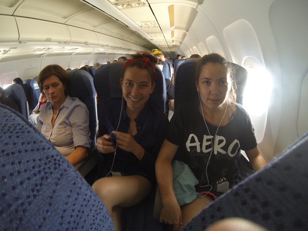
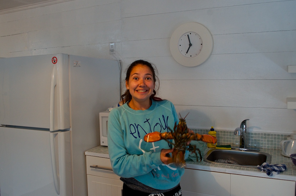
Here are a couple of GoPro videos from when we cooked up our lobster dinner. The first shows the lobsters going into the pot.
The second is me ripping apart the lobsters for the girls.
Here are a couple of GoPro videos from when we cooked up our lobster dinner. The first shows the lobsters going into the pot.
The second is me ripping apart the lobsters for the girls.
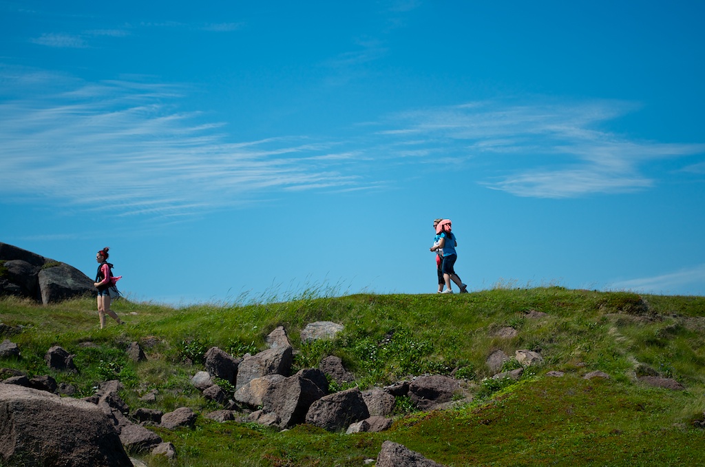
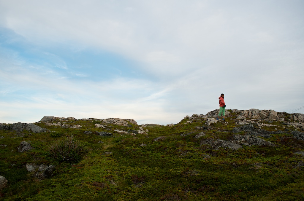
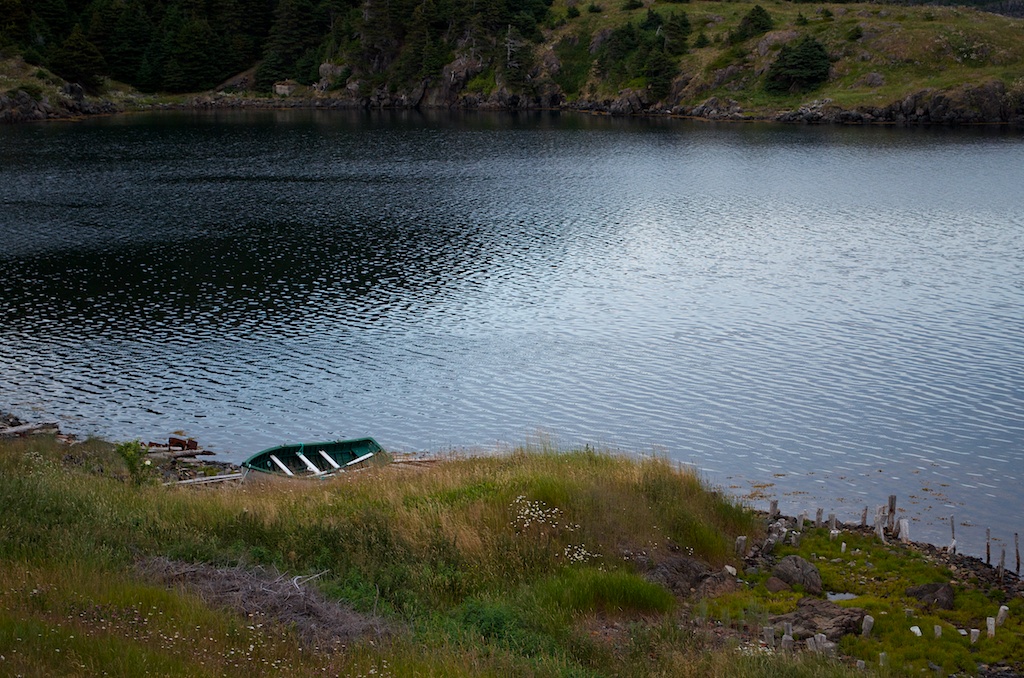
On Day 7 we did the Lookout Trail hike, it started at the Discovery Centre and went straight up (or at times it seemed like that) 300 metres to the top of Partridgeberry Hill. Once we got to the top I setup the GoPro on an Ikea egg timer and set it to take a picture every 5 seconds while the egg timer would count down from 60 minutes. Halfway through the egg timer stopped working, so there is an extended period of the same view, except for the changing clouds. I restarted it and it finished it’s rotation. At the end you can see us setting up for a family photo.
On day 8 we drove from Glenburnie to Herring Neck. I set the GoPro up in the front window of the van and took a photo every 5 seconds and then strung them together in iMovie. Add some Newfoundland tunes and this is what I ended up with. A 5 hour drive in 7 minutes.
 Number of days on The Rock: 13
Number of digital photos taken: 1,221
Number of kilometres flown: 4,277
Number of kilometres driven: 2,668
Most kilometres driven in one day: 652
Number of relatives visited: 0
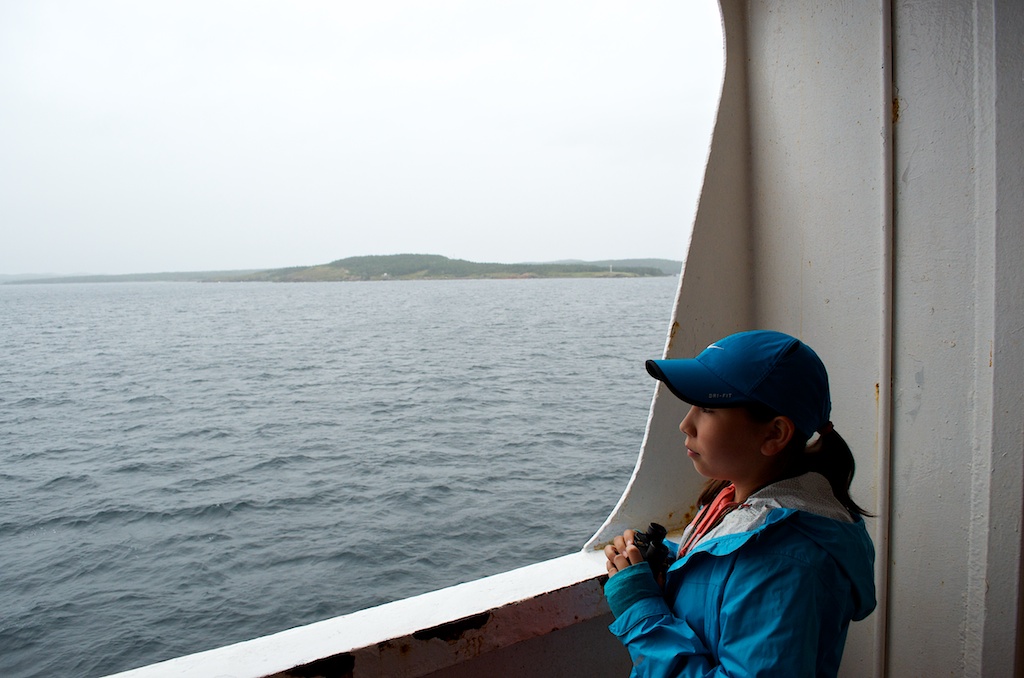
Number of ferries taken: 2
Number of provinces visited: 2 (stopover in Halifax going)
Price of most expensive gas: $1.429/litre (2013-07-20) in Gander, Newfoundland
Price of cheapest gas: $1.314/litre (2013-07-22) in St. John’s, Newfoundland
Price of gasoline for trip: $370.91
Number of pounds of lobsters consumed (family): 10.92
Taking the girls to Newfoundland for sea kayaking, whale watching and walking on the earth’s mantle : Priceless
A map of some of the trip points of interest and gas prices around the province.
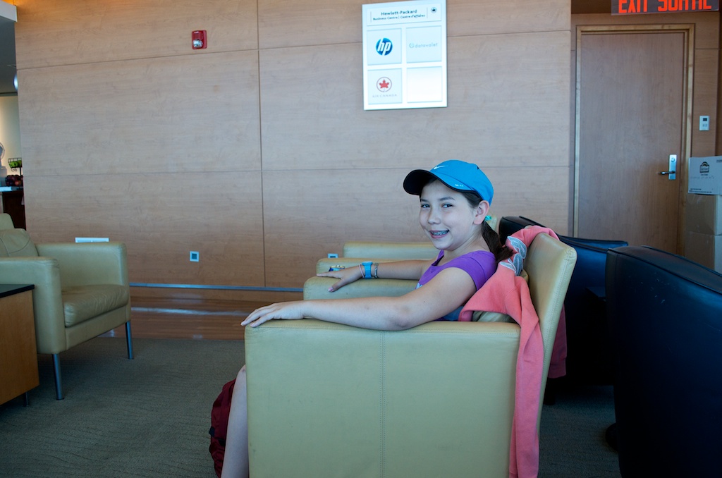
Our last day in Newfoundland started like our first with the sun shining and temperatures in the 20’s. We headed out to the airport and the Maple Leaf Lounge for some lunch. Claudia waiting for the soup to be ready.
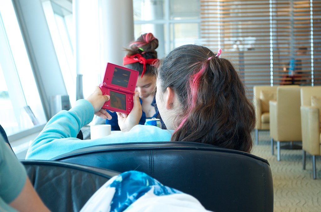
Angela playing her DS.
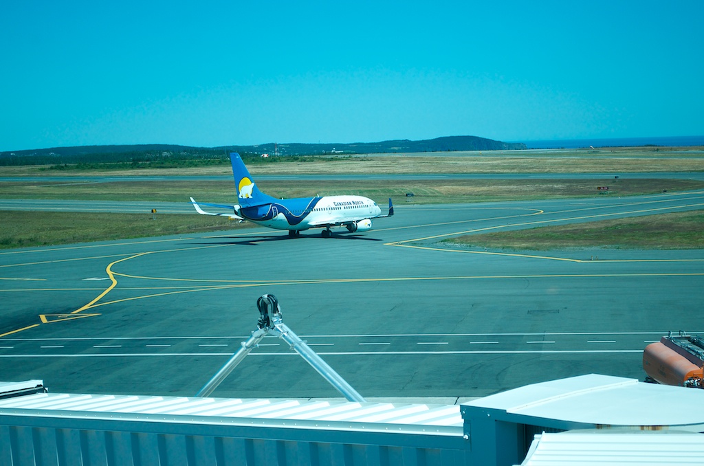
A Canadian North plane heading for Winnipeg.
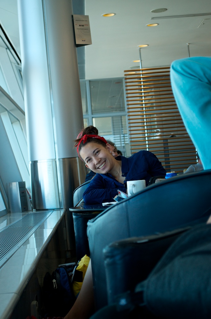
At times Gillian seemed to be more excited about the lounge than the trip.
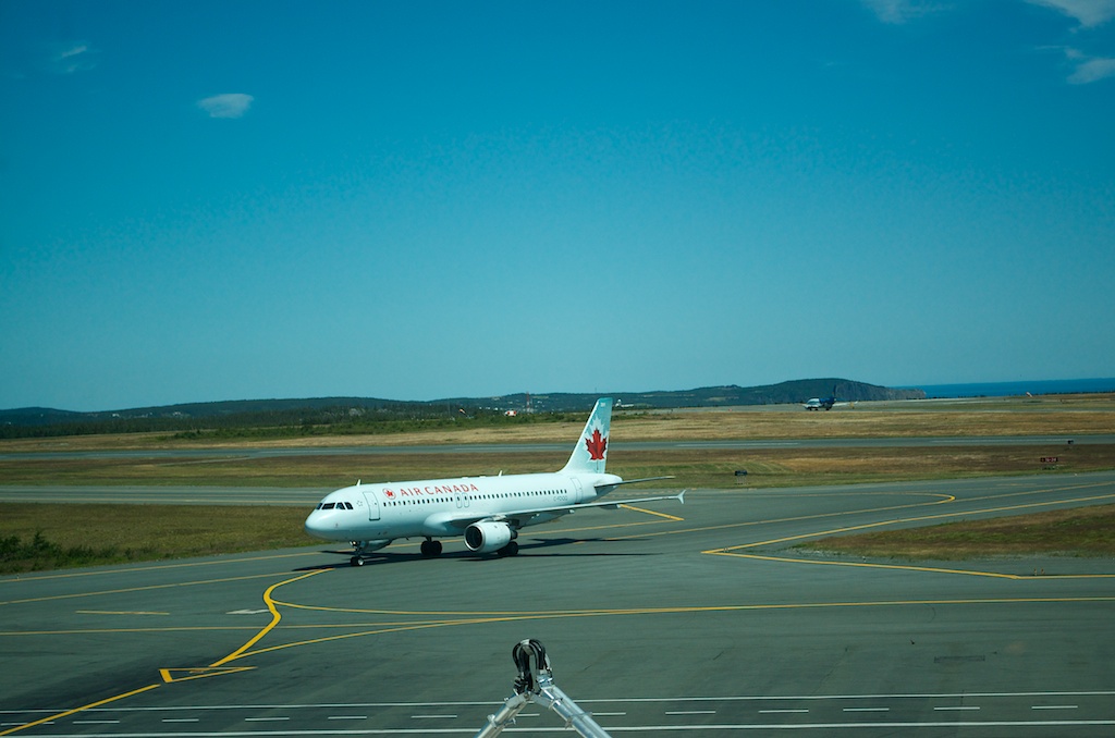
Our plane arriving on time.
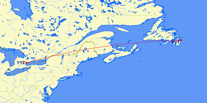
Our flight today.
Gillian and Angela on the plane. Angela had the devil child sitting behind her.
We arrived back in Toronto on time, our bags were slow coming out, but it did allow us to watch the news that the Royal baby had arrived. We used the valet Park’N Fly on this trip and that worked out well. After dinner we headed out to Carolyn and Danny’s to pick up Chloe. She was as excited to see us as we were to see her. A big shout out to Carolyn, Danny, Alex and Emi for looking after Chloe. I’ll do a trip summary and post some more videos that we took over the two weeks. Thanks for following along on our epic adventure.
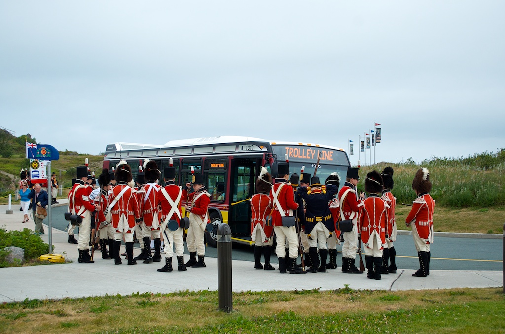
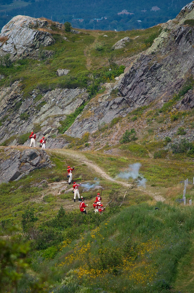
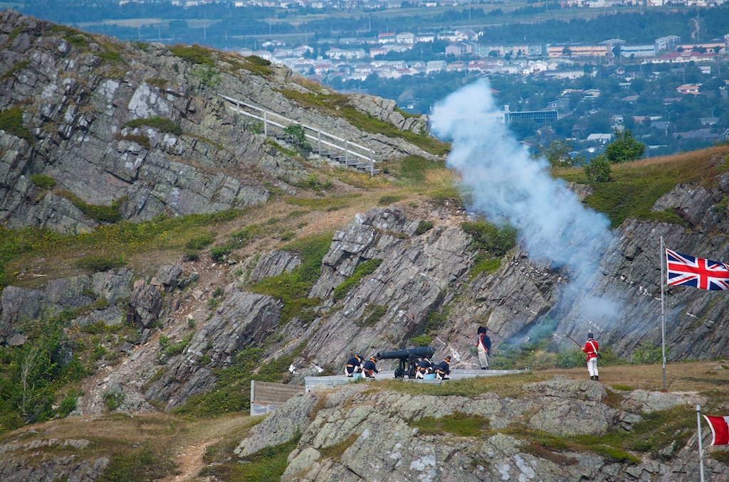
Our last full day in Newfoundland was spent in St. John’s. We woke to overcast skies and some thunder, but by 10:00 the sun came out for the day. We headed for Signal Hill National Historic Site. There is a new Visitor Centre (at least new in the sense that it wasn’t there when Susan and I were here in 2001). The Signal Hill Tattoo do a re-enactment of garrison life in the late 1790’s. We didn’t stick around to watch the show ($5/head). It looked like the soldiers were waiting for the bus.
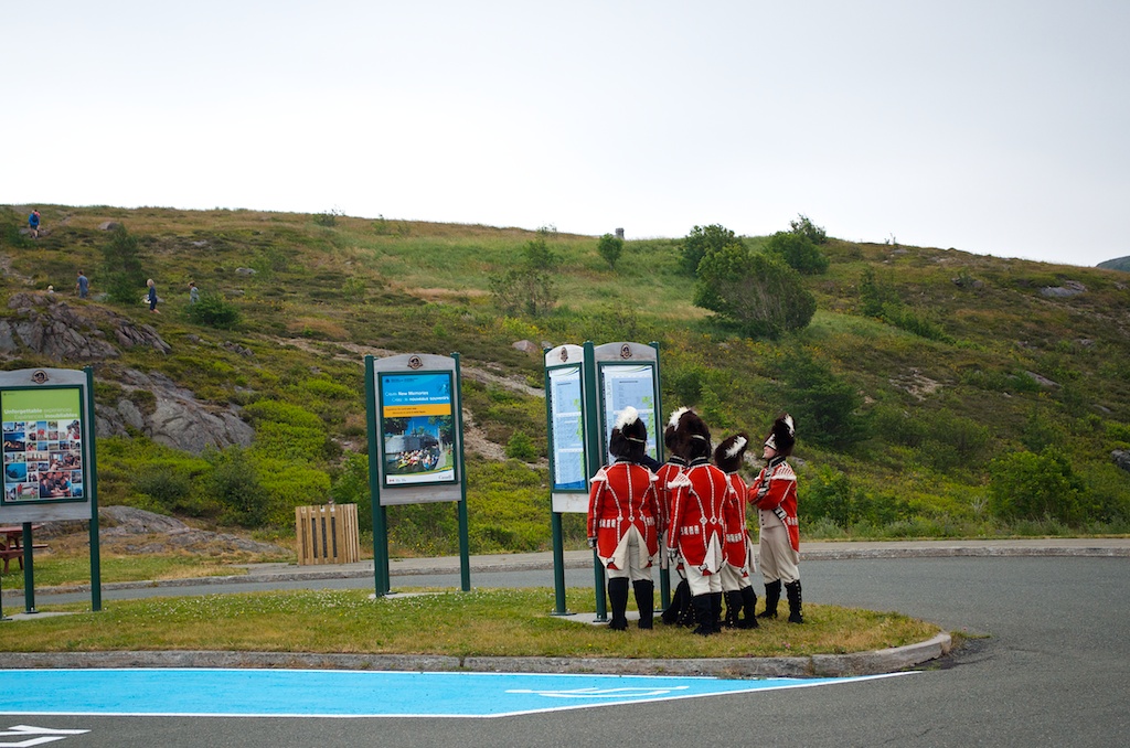
These guys were studying their cheat notes before the show.
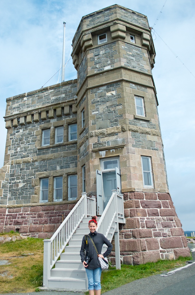
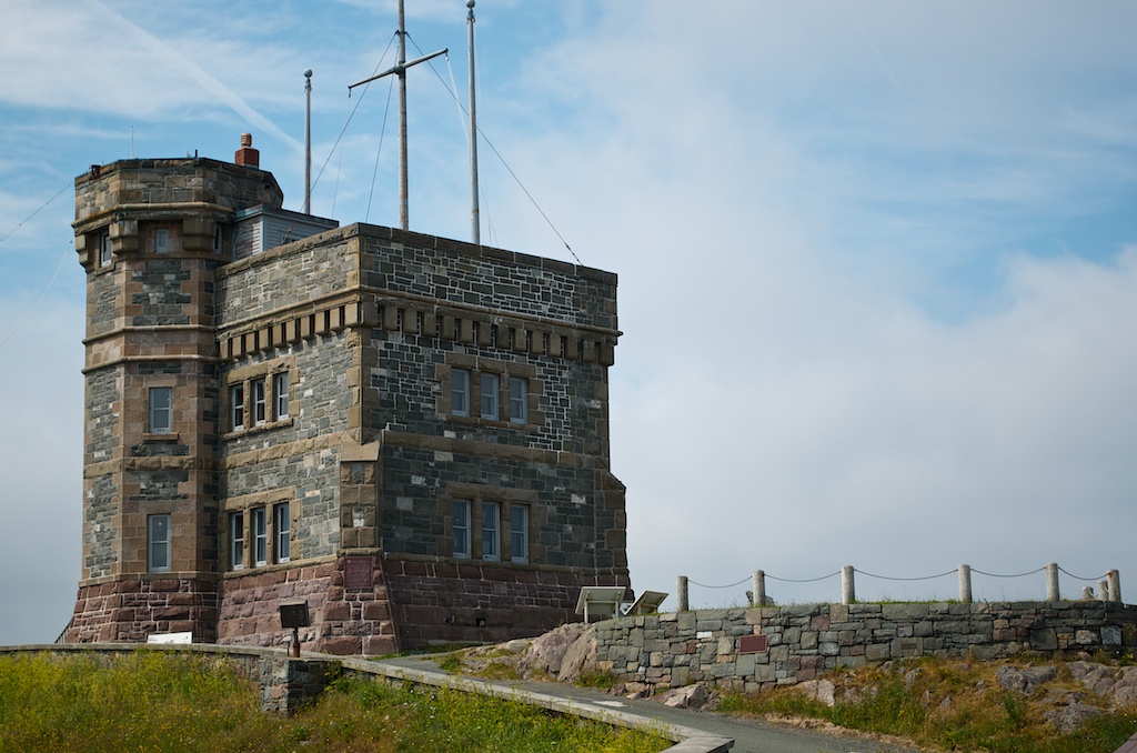
Cabot Tower at the top of Signal Hill. It was completed in 1900 and in 1901 Marconi received the first trans-Atlantic wireless message.
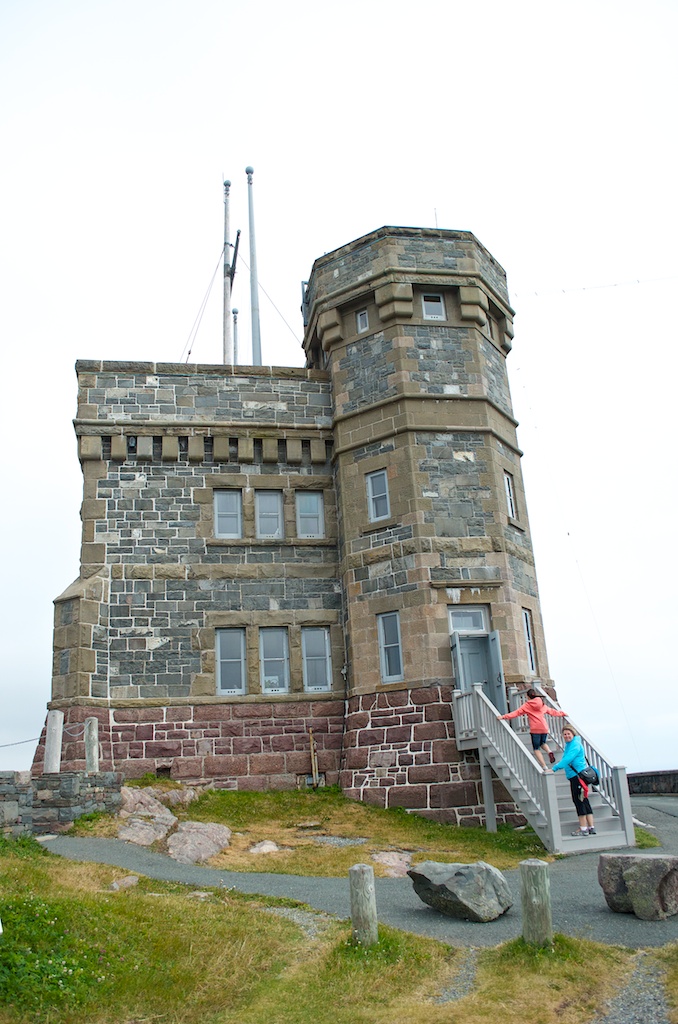
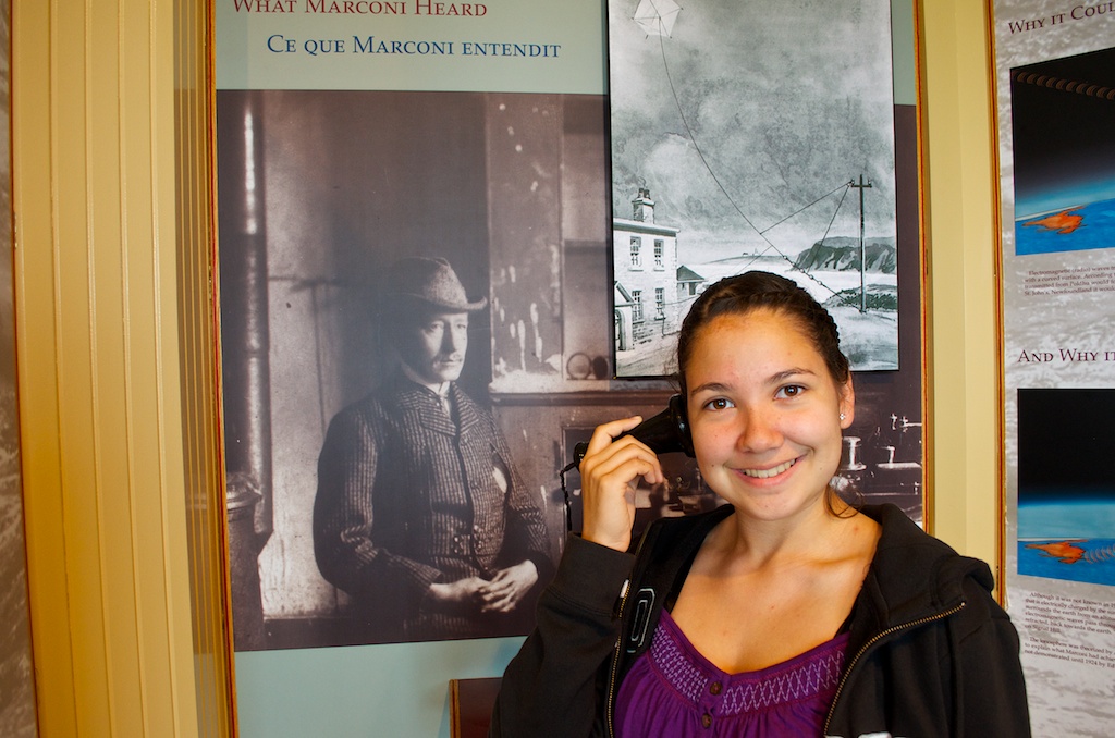
Angela listening to what Marconi heard, sort of, it was out of order.
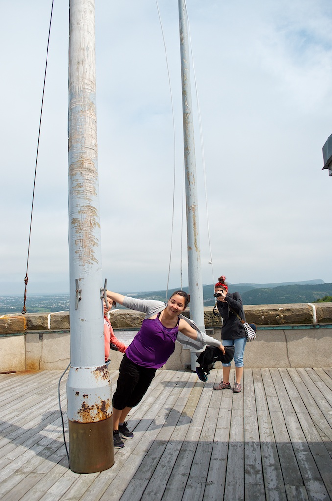
On top of the tower the winds were strong, like everywhere else in Newfoundland.
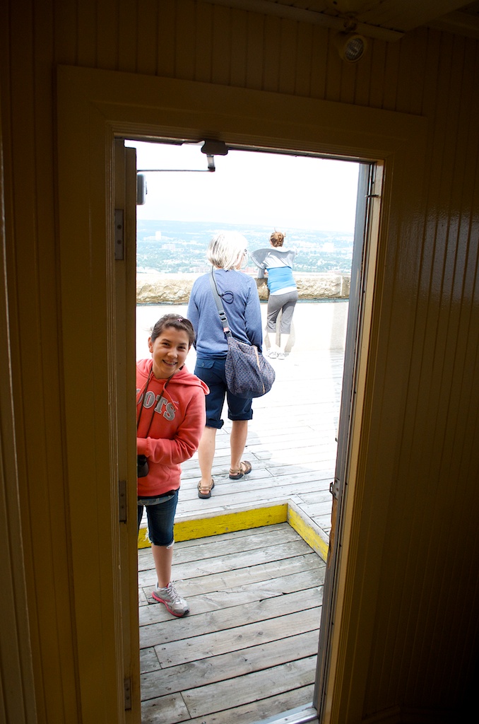
Claudia holding the door for people.
Gillian standing guard.
Even though the hill was busy, if you wait long enough you can still get a photo of the tower without any tourists in the frame.
Some of the re-enactment.
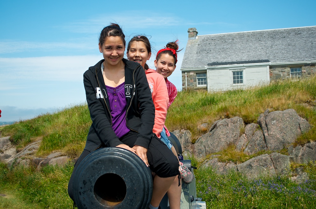
Claudia atop the Queens Battery canons.
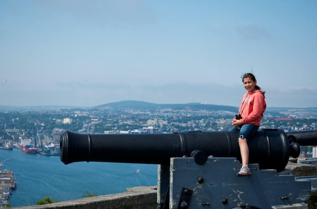
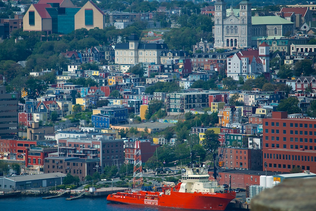
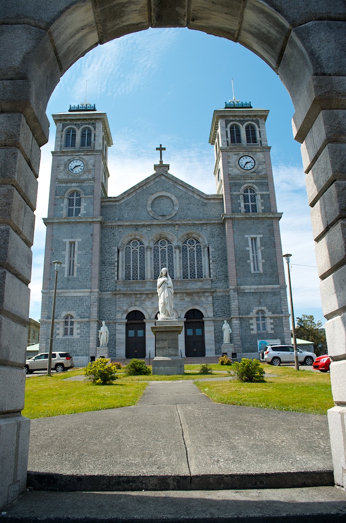
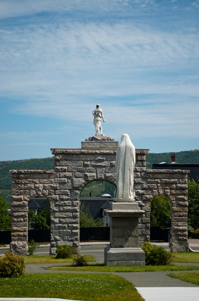
A colourful view of downtown St John’s. The Basilica of St John the Baptist is in the top right.
The girls on the canon.
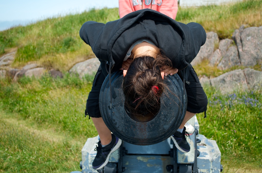
Angela checking for canon balls.
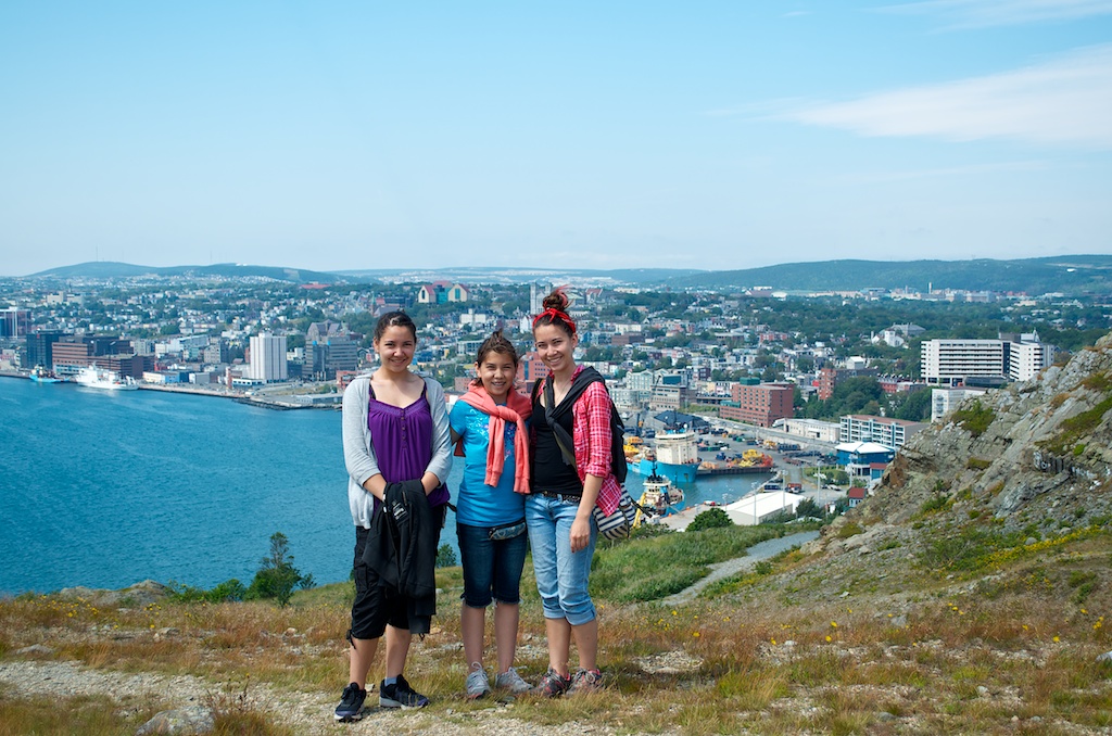
In front of St John’s.
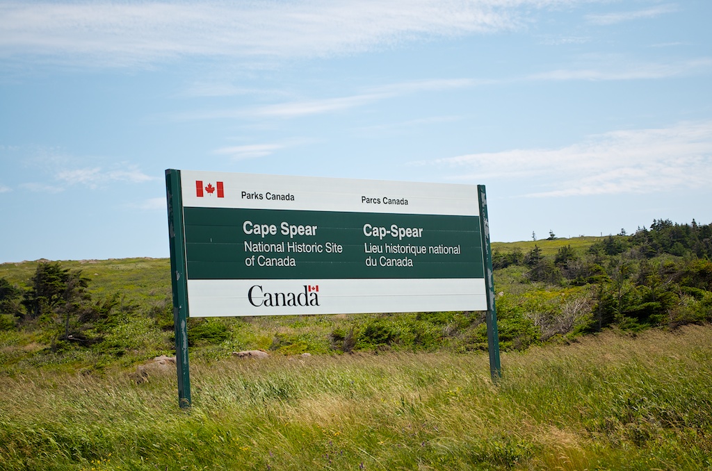
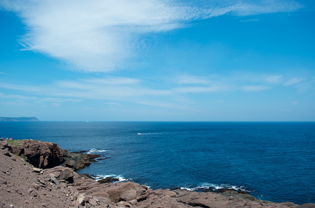
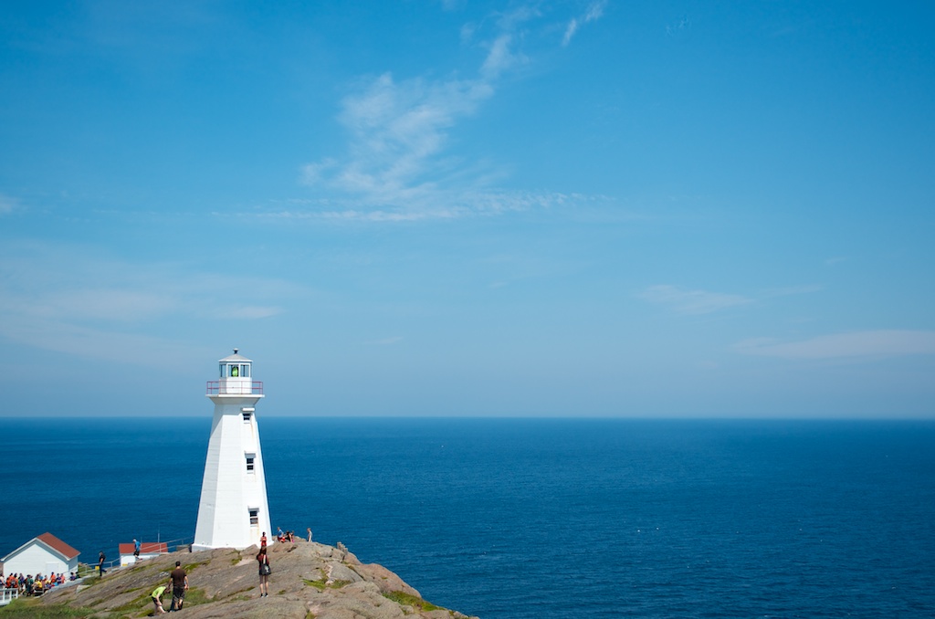
From Signal Hill it was on to Cape Spear National Historic Site.
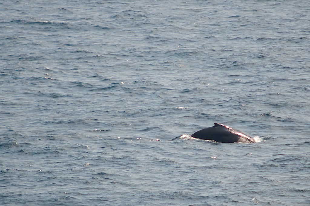
There were some fin whales off the coast.
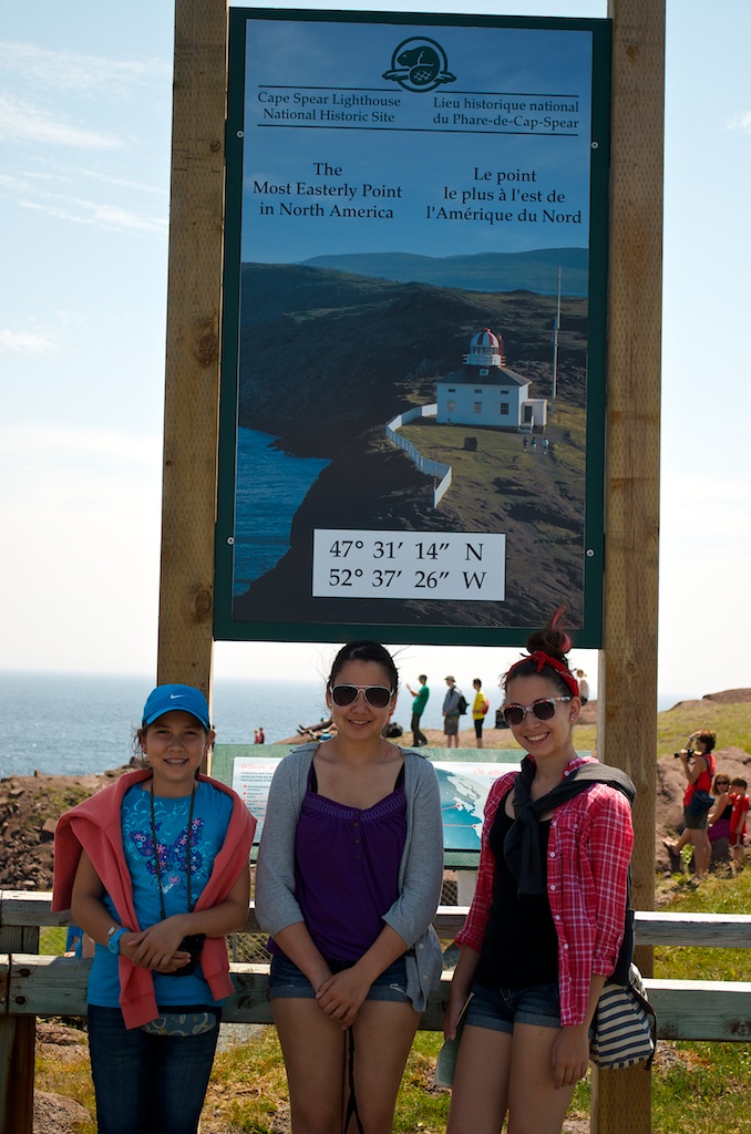
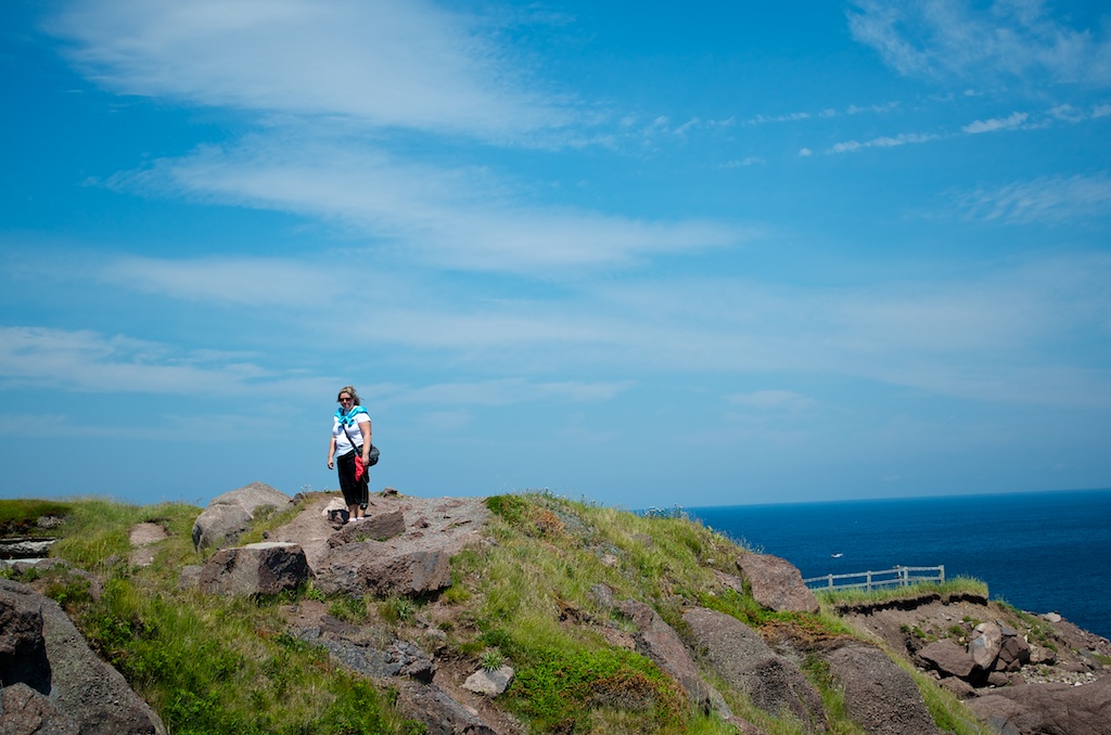
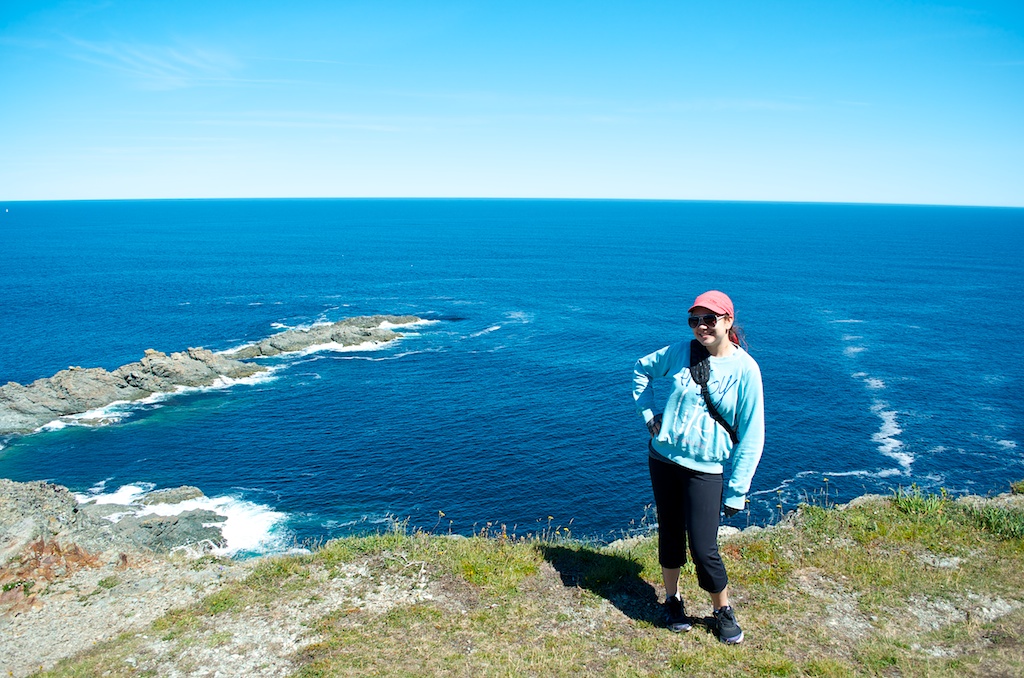
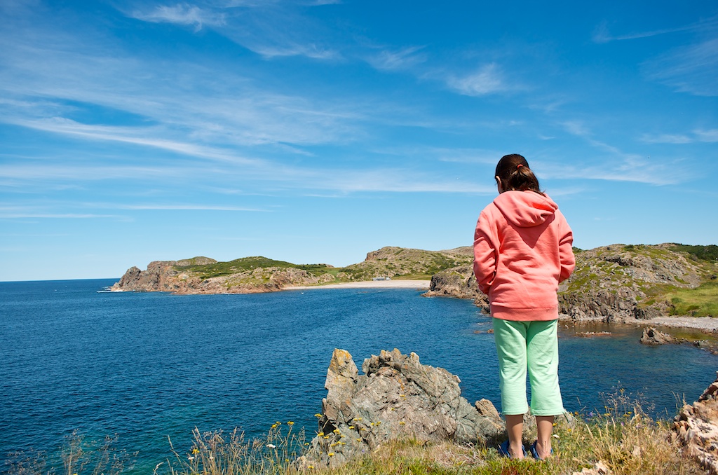
Cape Spear is the most easterly point in North America. The girls have now been to the far east of Canada and the far south (Pelee Island).
Once again the day’s weather forecast was right on.
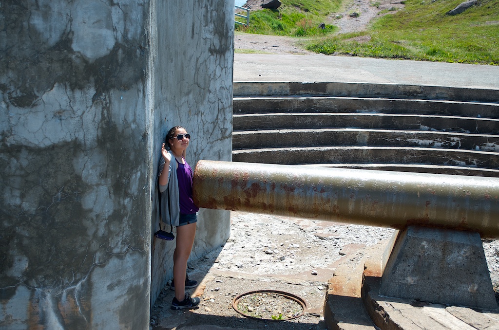
Claudia atop one of the WWII coastal defence gun battery.
Angela surrendering.
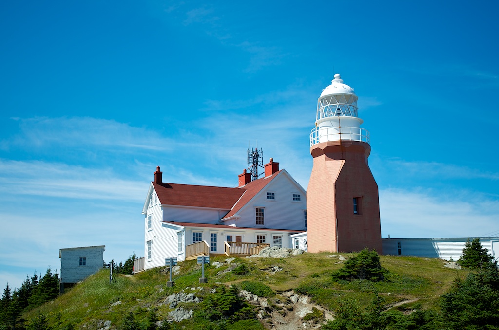
This lighthouse was built in 1955 to replace the original lighthouse.
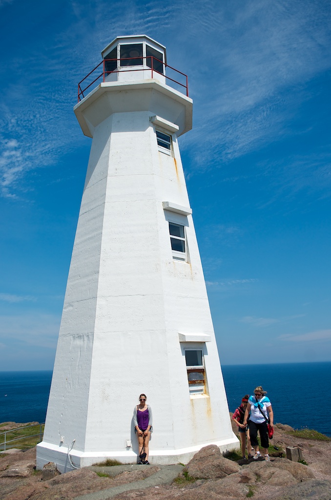
They have restored the original lighthouse built in 1836. This was the second lighthouse to be built in Newfoundland.
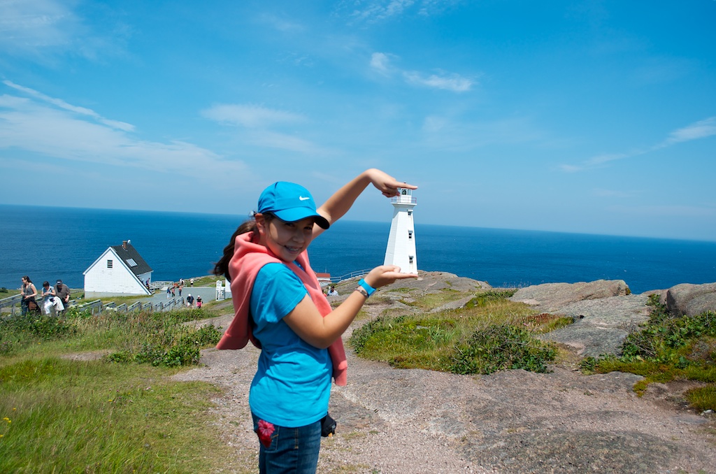
Claudia holding the lighthouse.
From Cape Spear it was back to downtown St John’s to walk around.
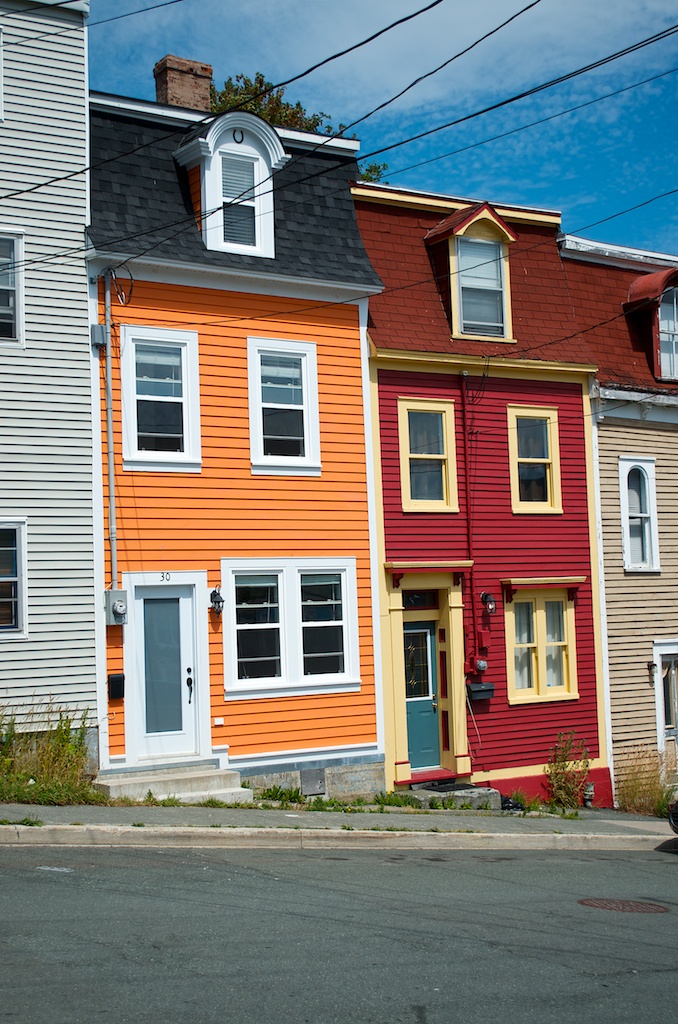
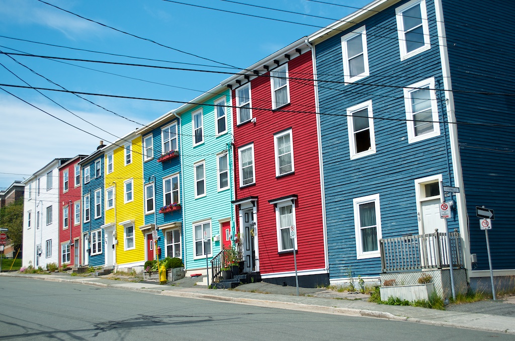
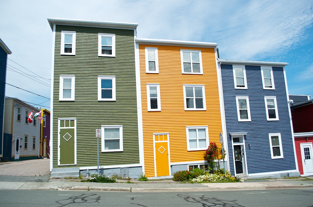
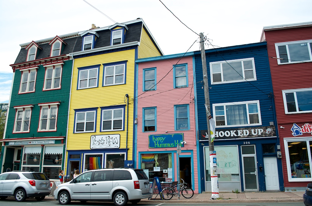
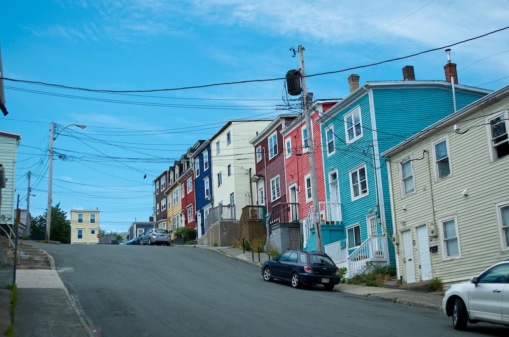
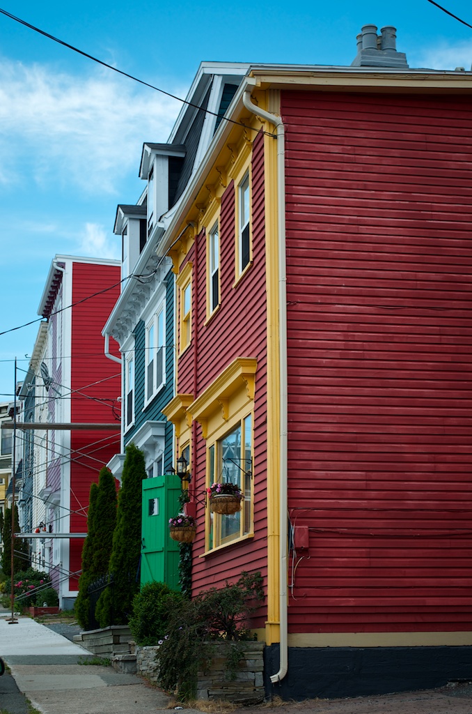
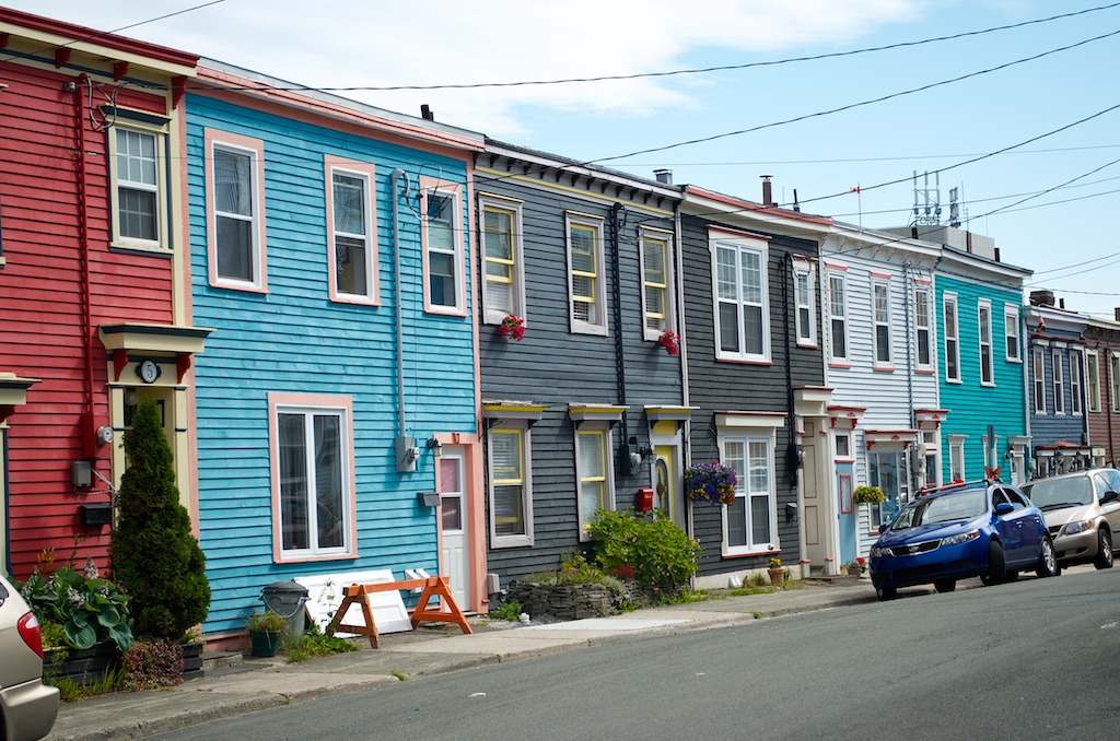
St John’s colourful houses.
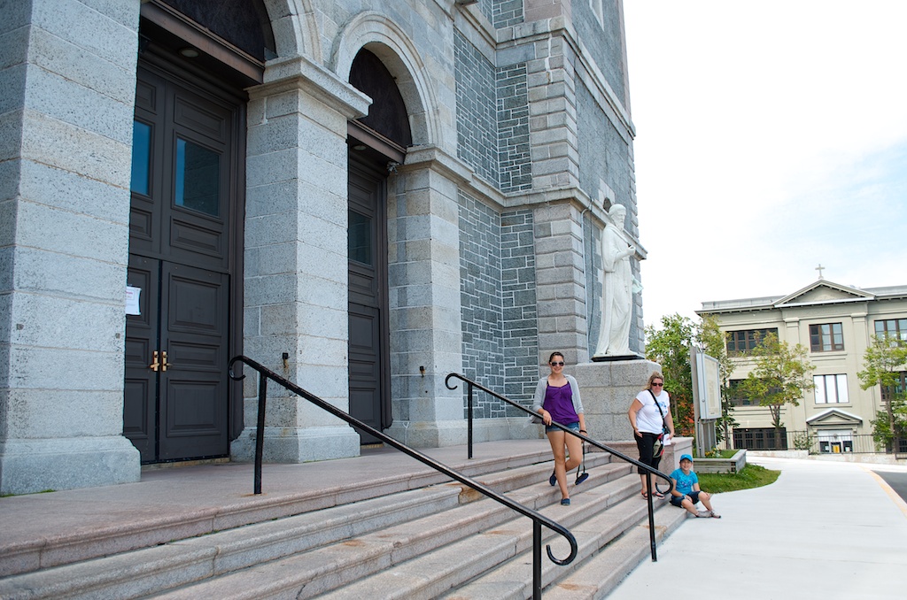
Being a Sunday we attempted to go to church. We walked up the hill to The Basilica of St John the Baptist, unfortunately the doors were locked. The church was constructed in 1841.
So we sat on the steps and enjoyed the view.
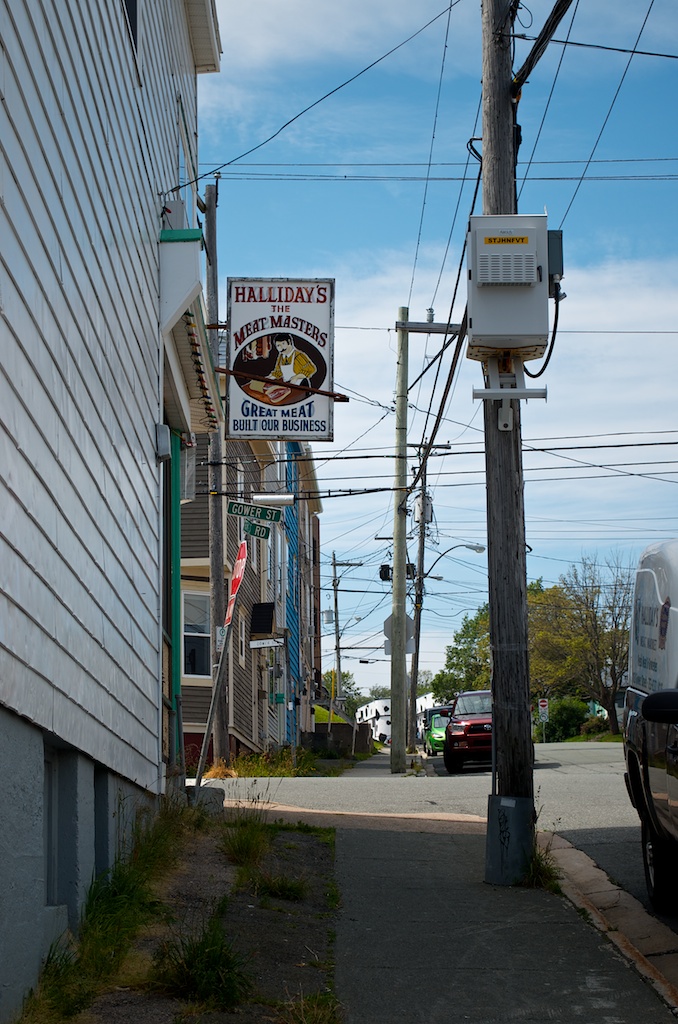
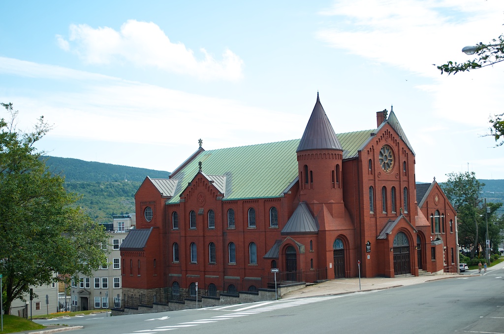
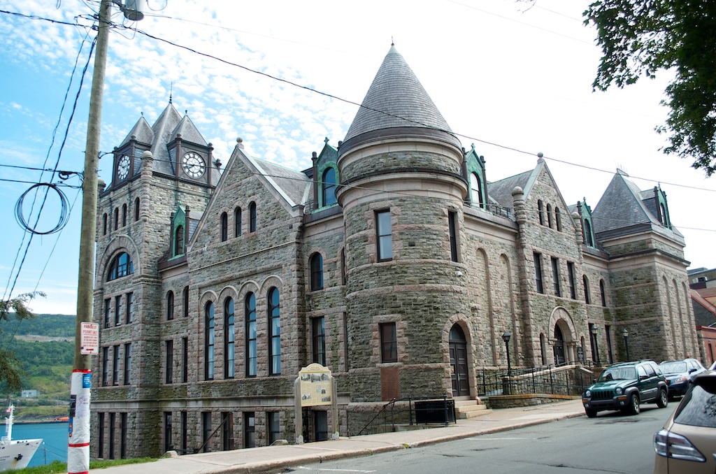
The Gower Street United Church. It was completed in 1896.
The Masonic Temple built in 1894.
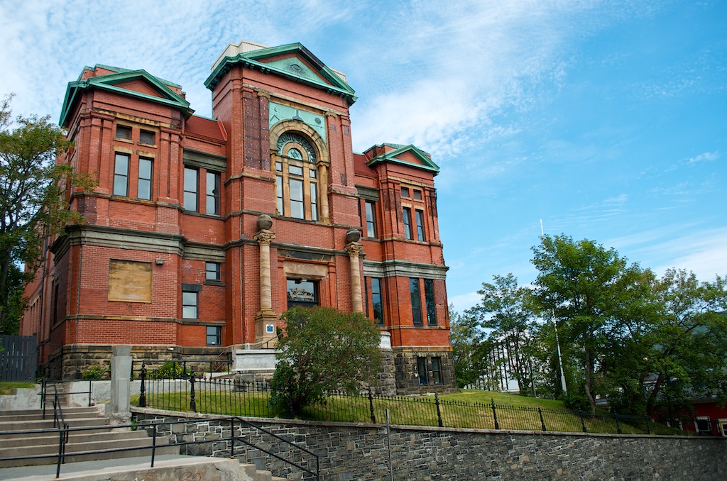
The court house on Duckworth St. It was built between 1899-1901, it also housed the public gallows.
Some of the colourful exteriors of the stores along Duckworth St.
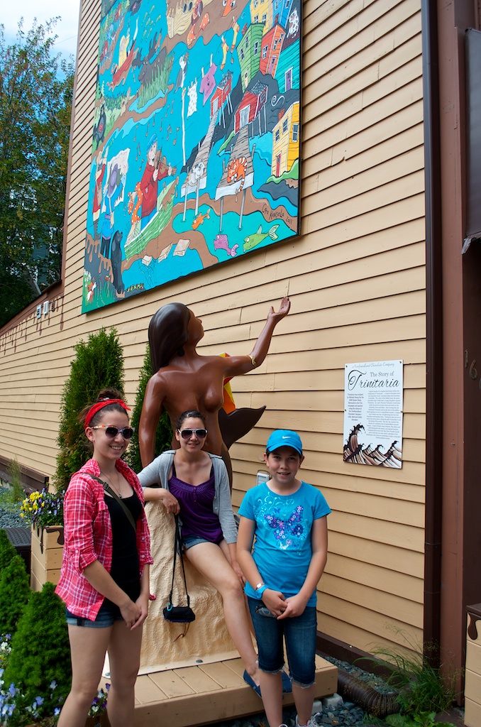
Another mermaid near a chocolate store. The one in Twillingate was also beside a chocolate store.
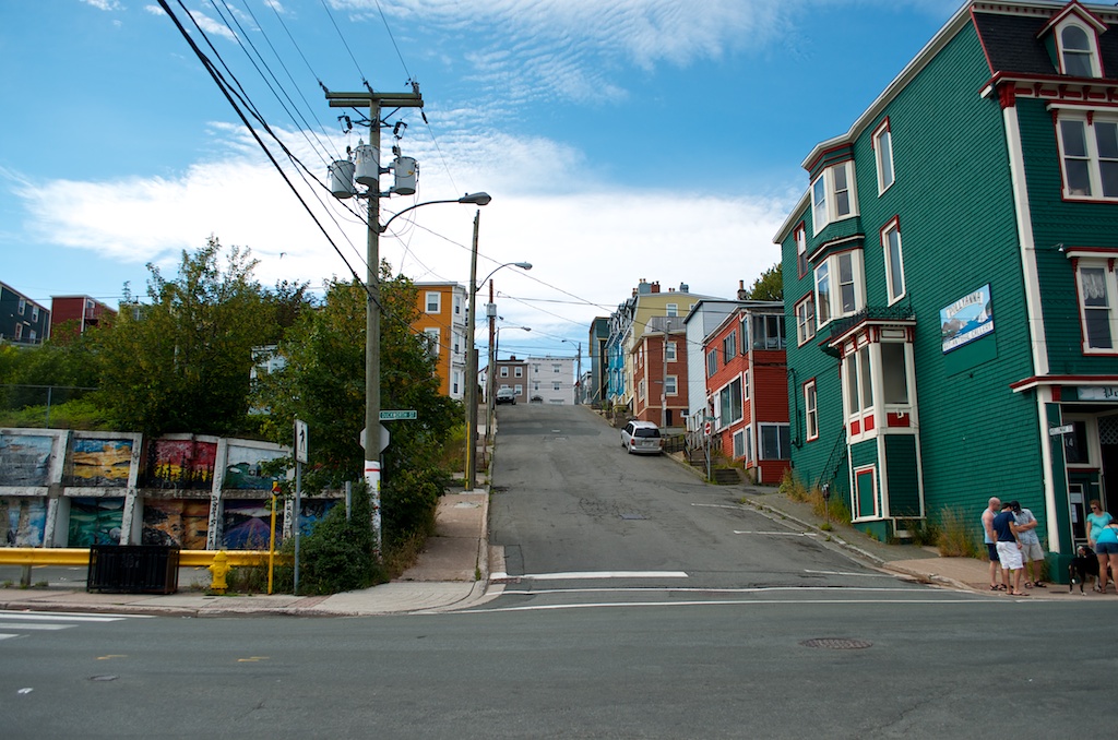
Colourful and hilly.
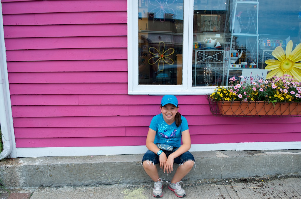
Claudia resting outside one of the stores while the others were shopping.
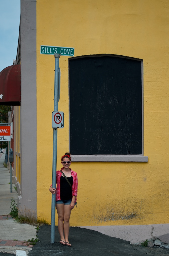
Gill’s unders the Gill’s Cove sign.
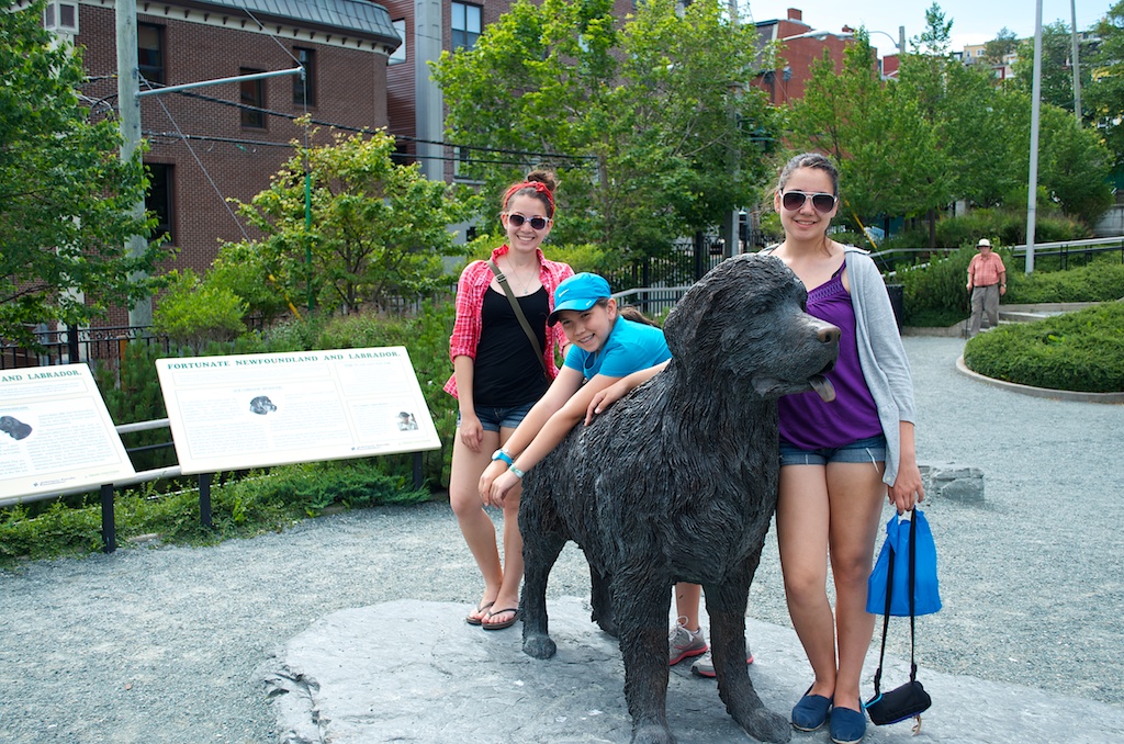
The girls with a Newfoundland dog statue.
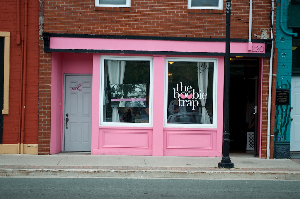
When the girls were younger, they would make boobie traps on the beach, we came across this store on Water St.
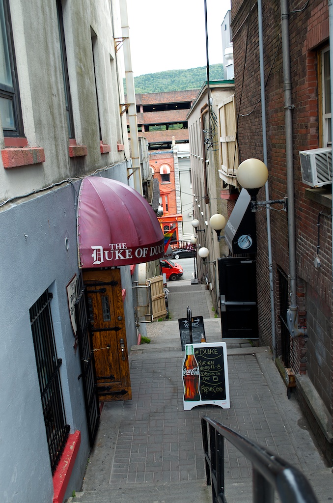
One of the stairways going from Duckworth down to Water streets.
We enjoyed the walk around downtown.
Our drive today. A. Hotel B. Signal hill C. Cape Spear D. Downtown, St John’s
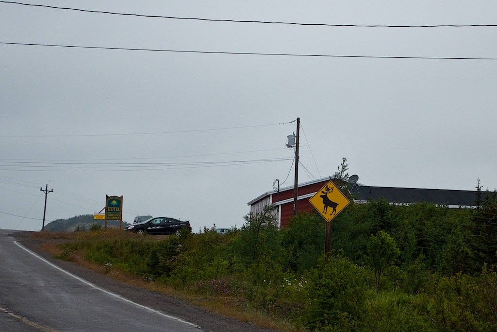
Saturday we checked out of our Old Salt Box Co. house. We had enjoyed our stay at Evelyn’s house in Herring Neck. We would definitely return or try another of the homes.
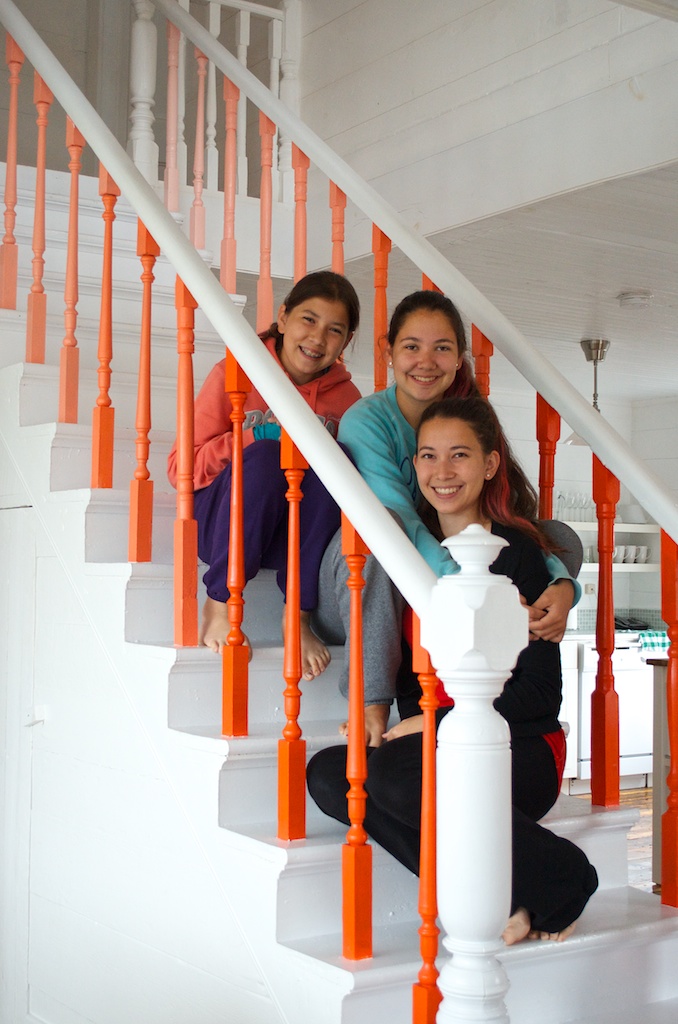
The girls enjoyed the straight staircase.
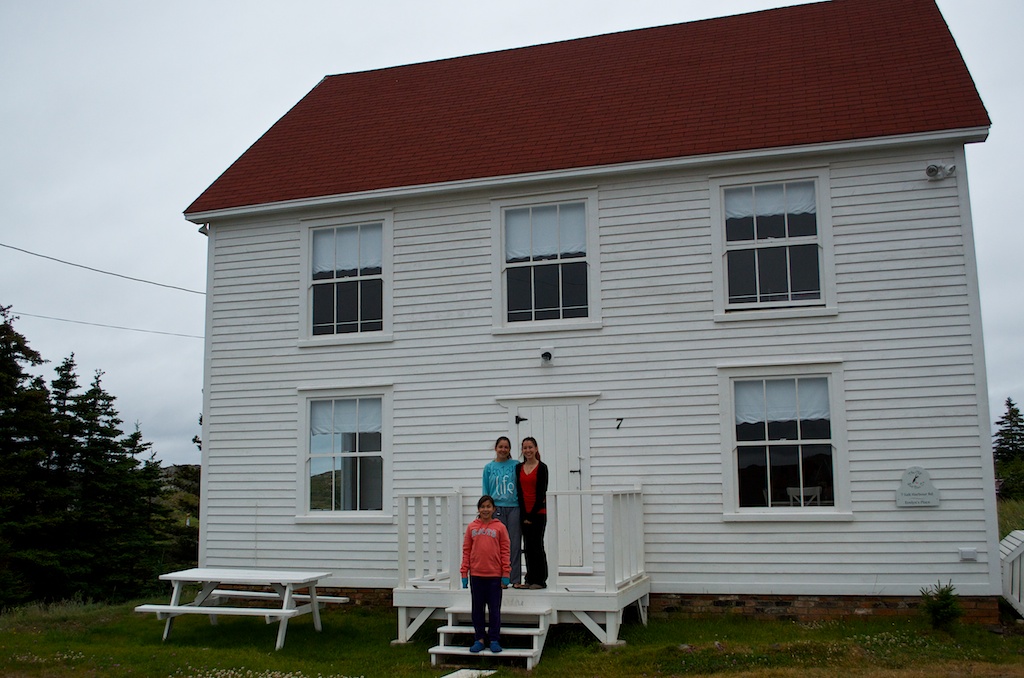
The girls out front.
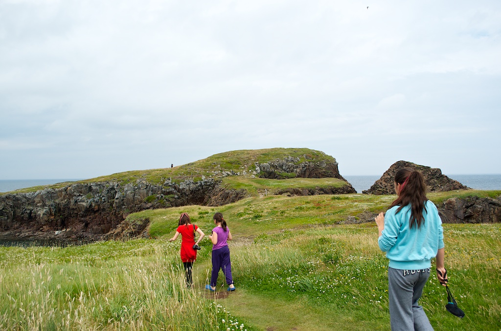
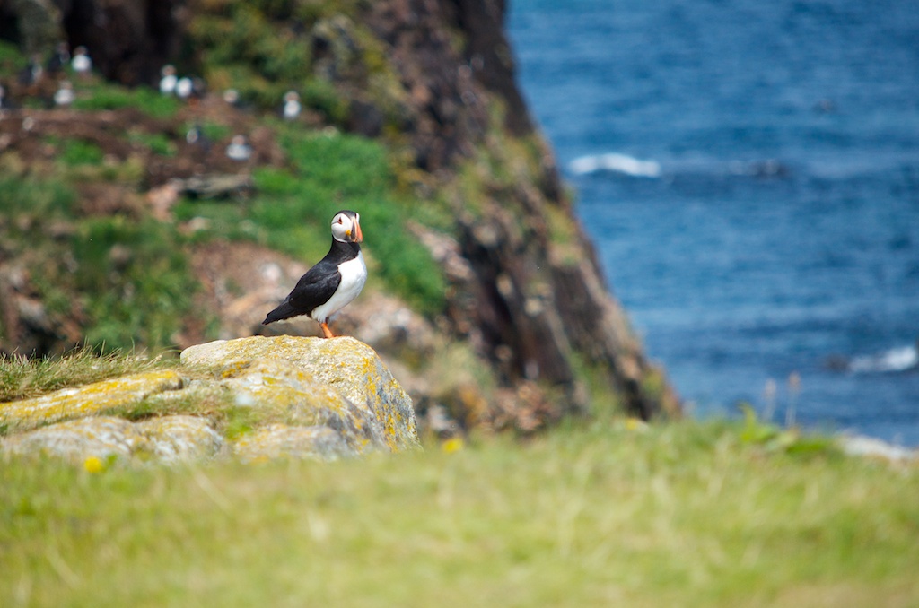
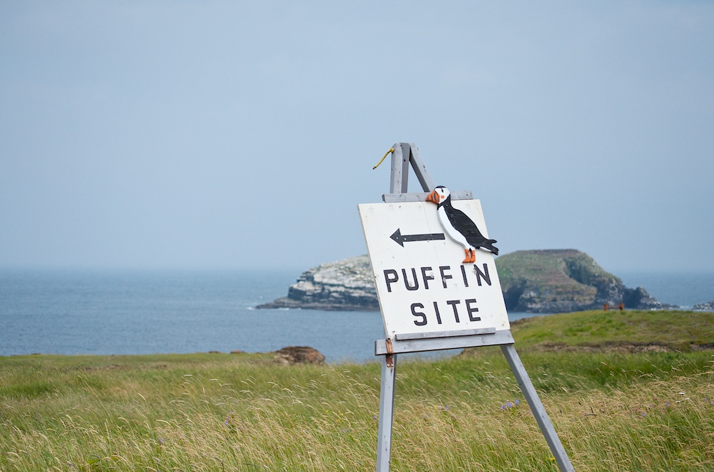
Our final destination was St John’s, but I suggested we head to Elliston on the Bonavista Peninsula. Elliston use to be called Bird Island Cove because of a couple of islands that are close to land that were popular nesting areas for seabirds. Elliston has one of the closest land views of puffins with hundreds of nesting pairs. Here are the girls heading for the puffin viewing.
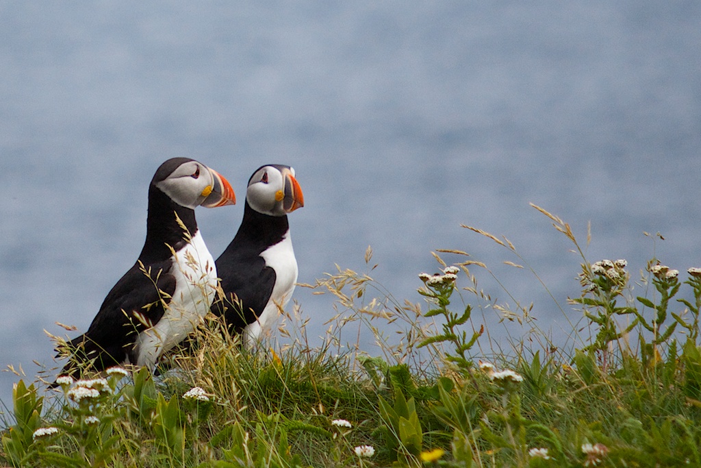
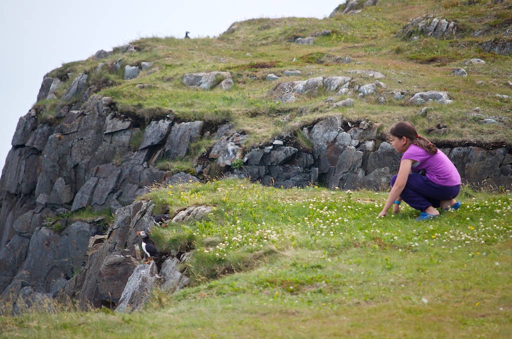
There were a few puffins on the land side.
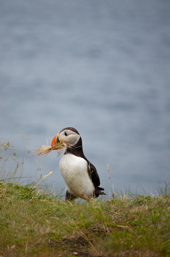
This guy was collecting materials for his nest.
We got amazing views of the puffins up close.
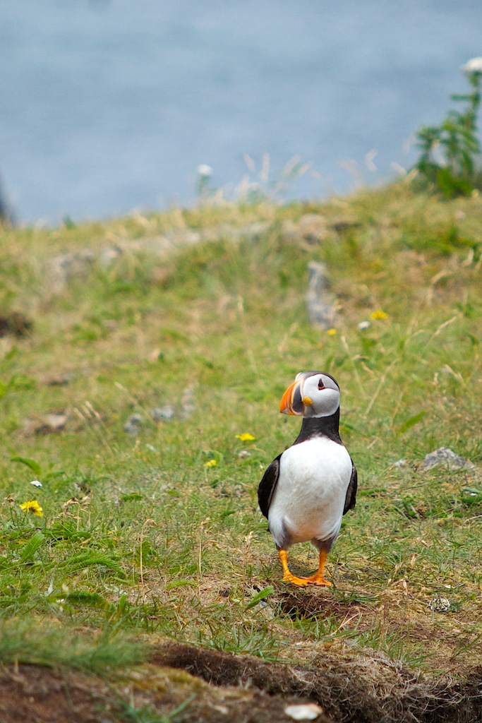
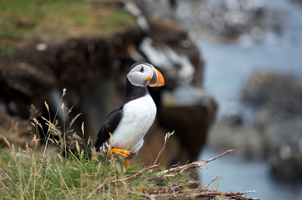
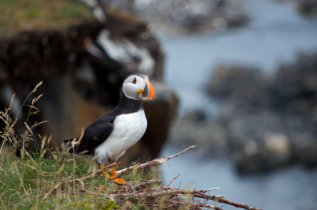
I sat in the grass and one kept walking closer and closer.
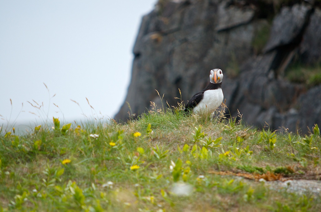
There were hundreds of puffins. In the background you can see the other puffins on the island.
Angela trying to get up close and personal with a puffin.
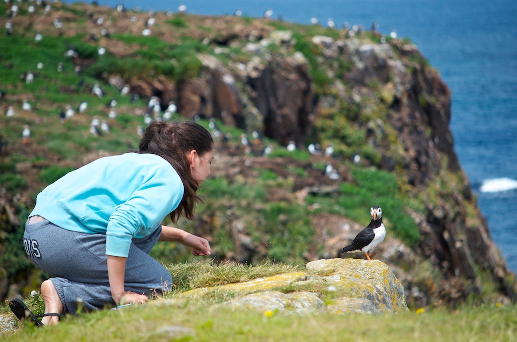
Claudia doing the same.
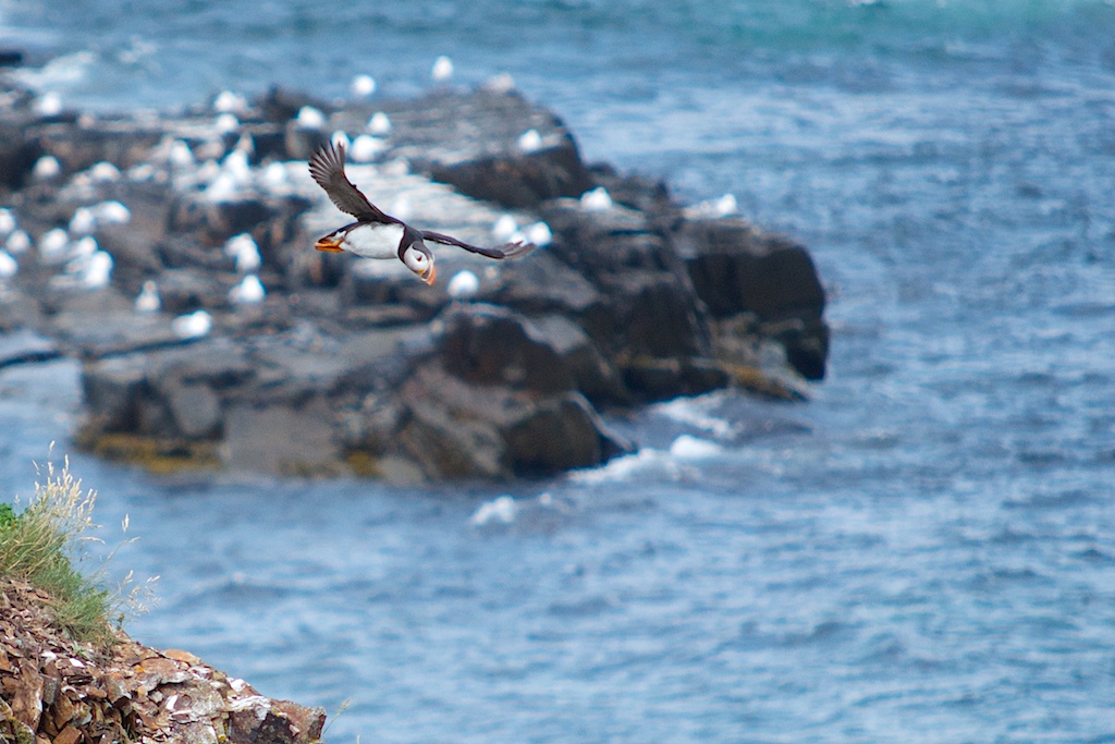
It was just as cool to watch them take off and land.
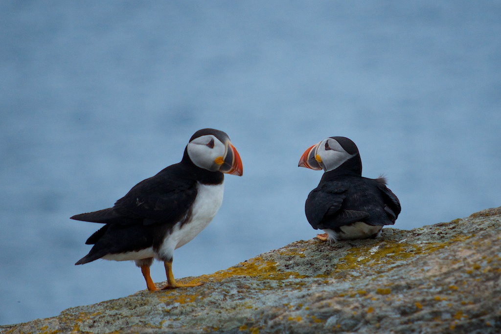
These guys were on the island side.
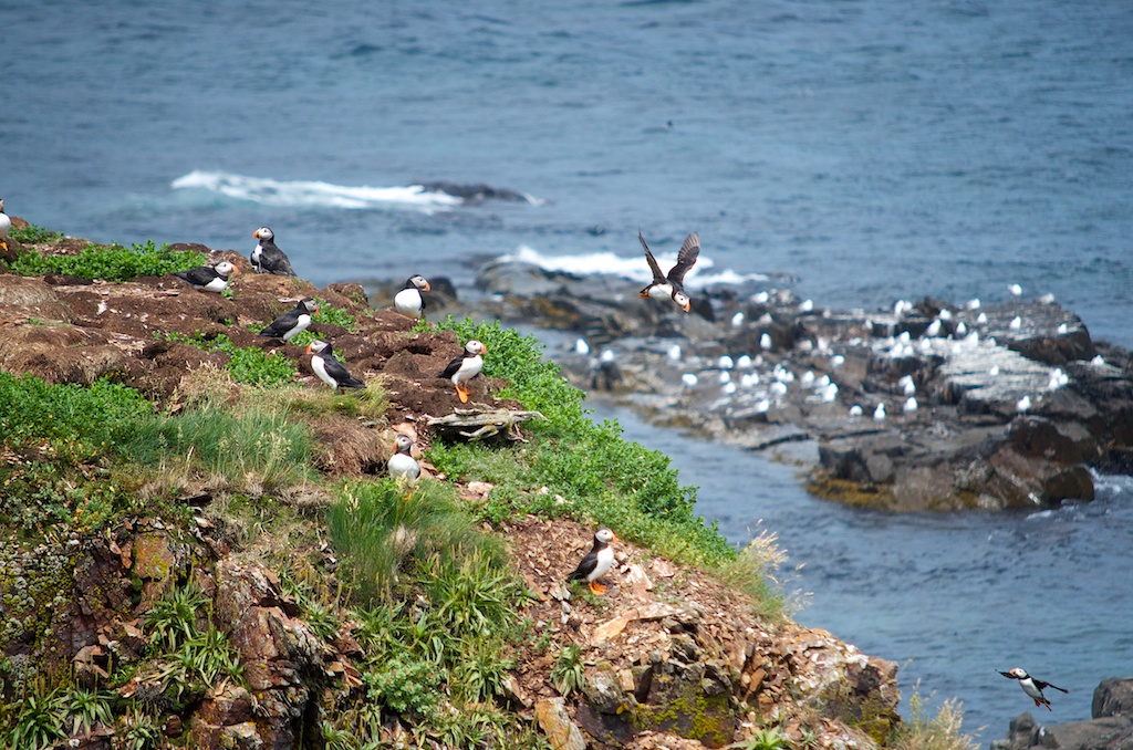
The island full of puffins.
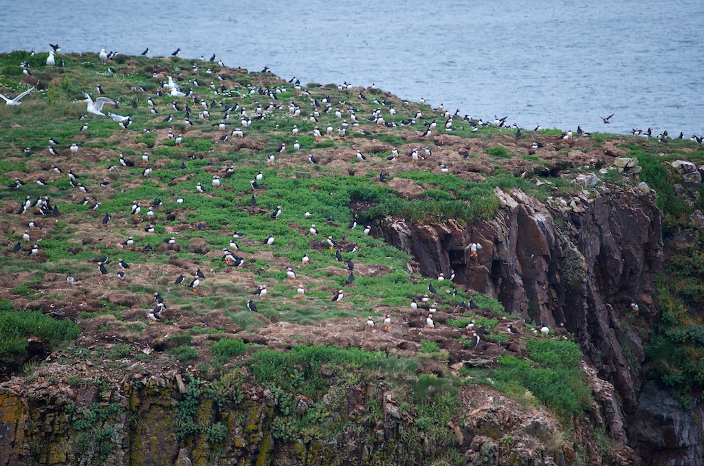
It was an amazing experience, we didn’t know what to expect when we got there, there was no way we thought we would get that close to them.
There was a puffin muskoka chair near the road.
If you ever get to Elliston, drop by the puffin viewing site. This week was also the Elliston Puffin Festival at the Municipal Grounds.
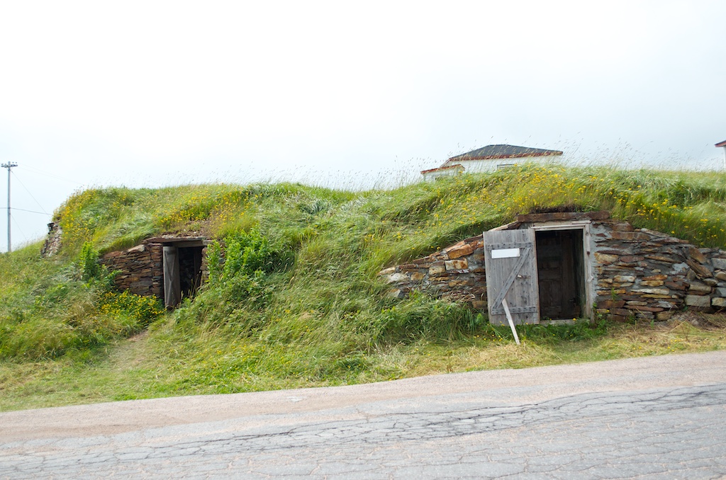
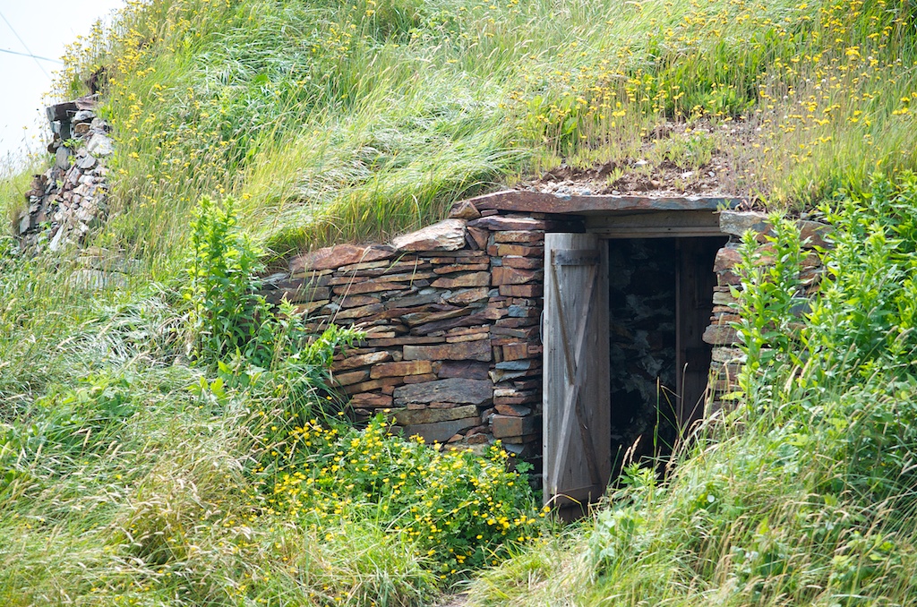
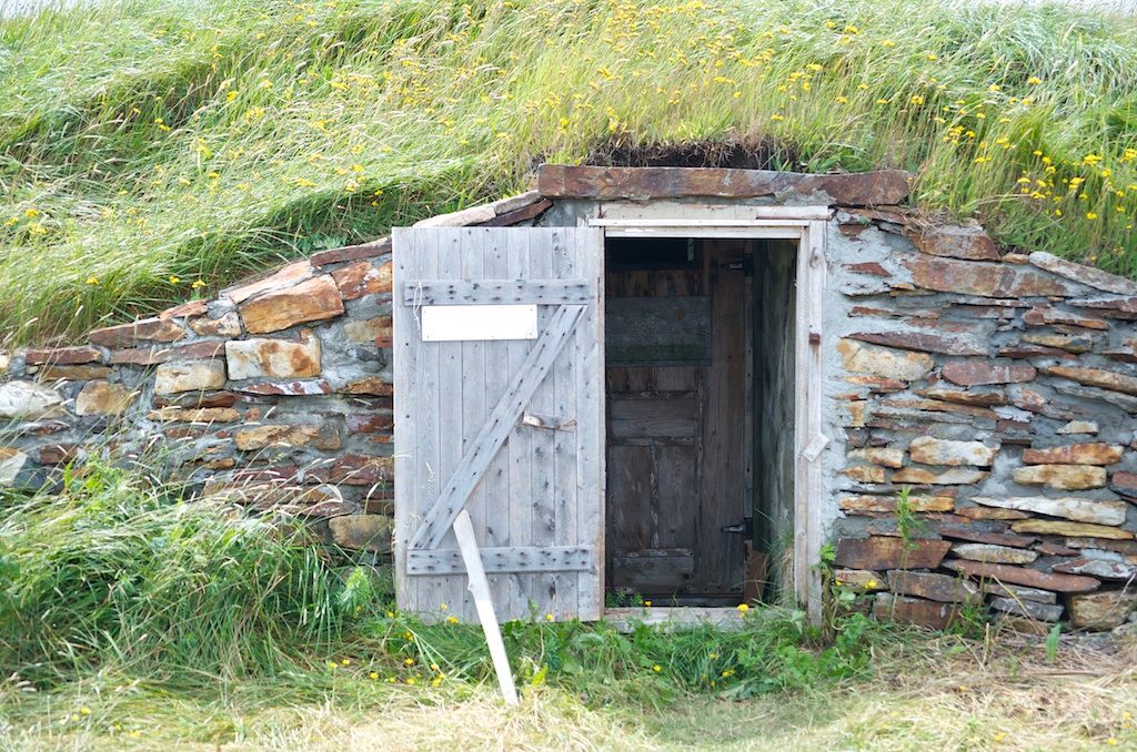
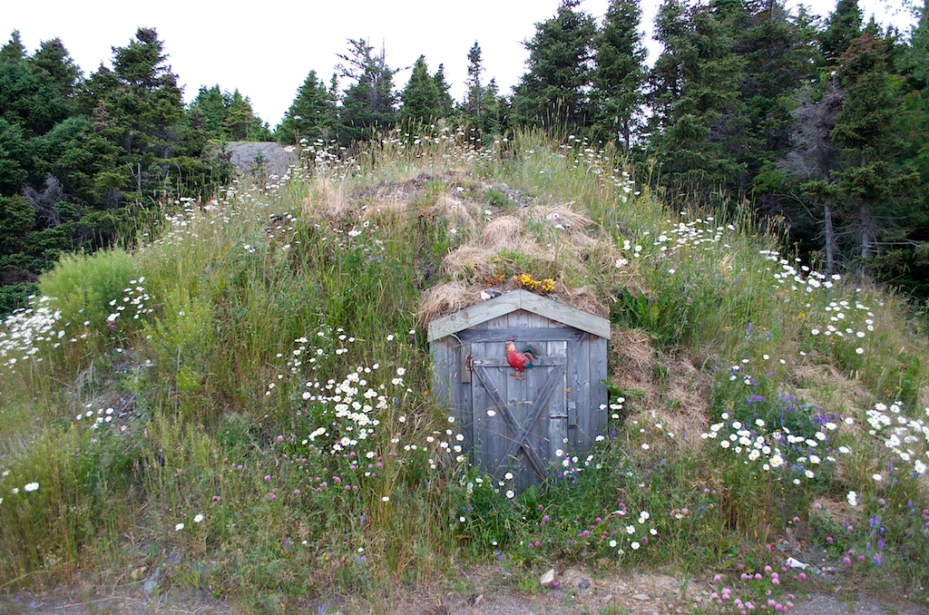
Elliston is known as the “Root Cellar” Capital of the World. There were a couple that were open that you could walk into.
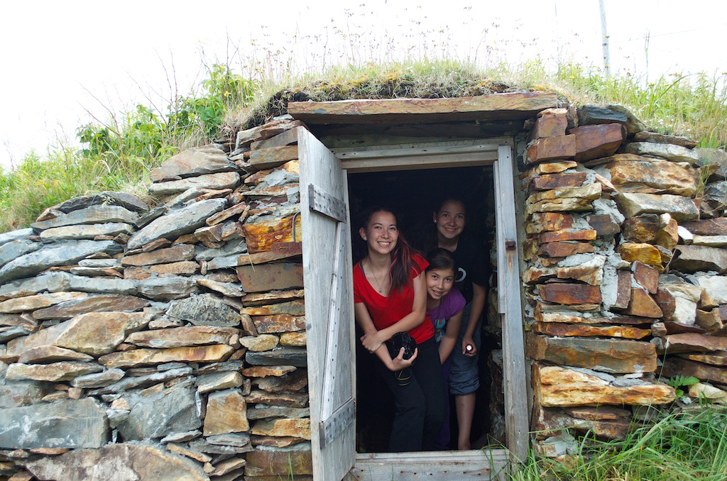
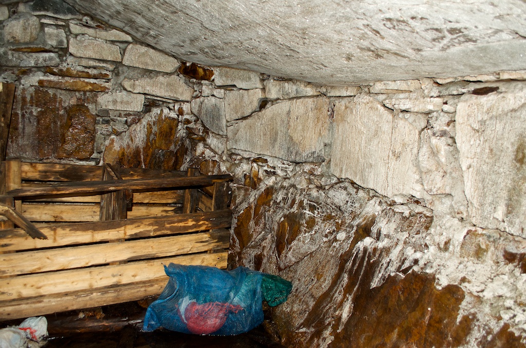
The inside of the root cellar.
Just drive around and you’ll see them in the sides of the hills along the roads or near the houses.
We made a quick stop in Trinity. Trinity is one of the most notable “heritage communities” in the province.
Todays drive. A. Herring Neck B. Elliston C. Bonavista D. Trinity E. St John’s
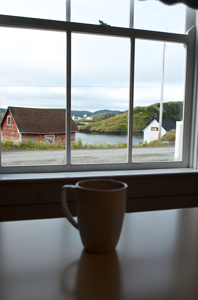
The view for our morning coffee.
Today was shaping up to be a good weather day.
Our Salt Box home.
After some early cloud cover the sun was starting to peak out.
The scenery never gets old. It’s like being in the Newfoundland and Labrador television commercials.
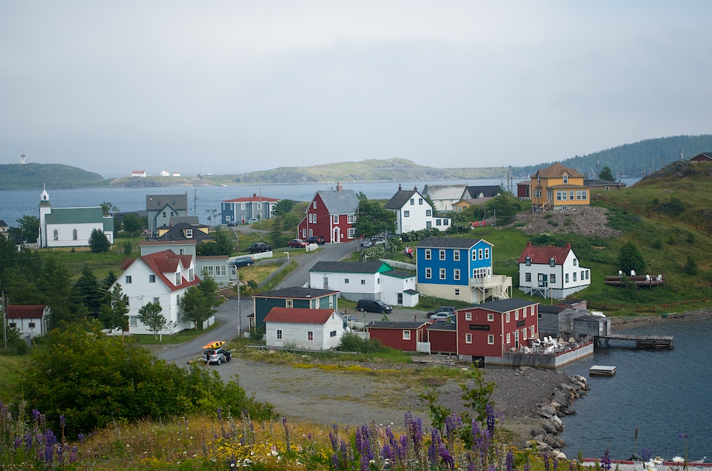
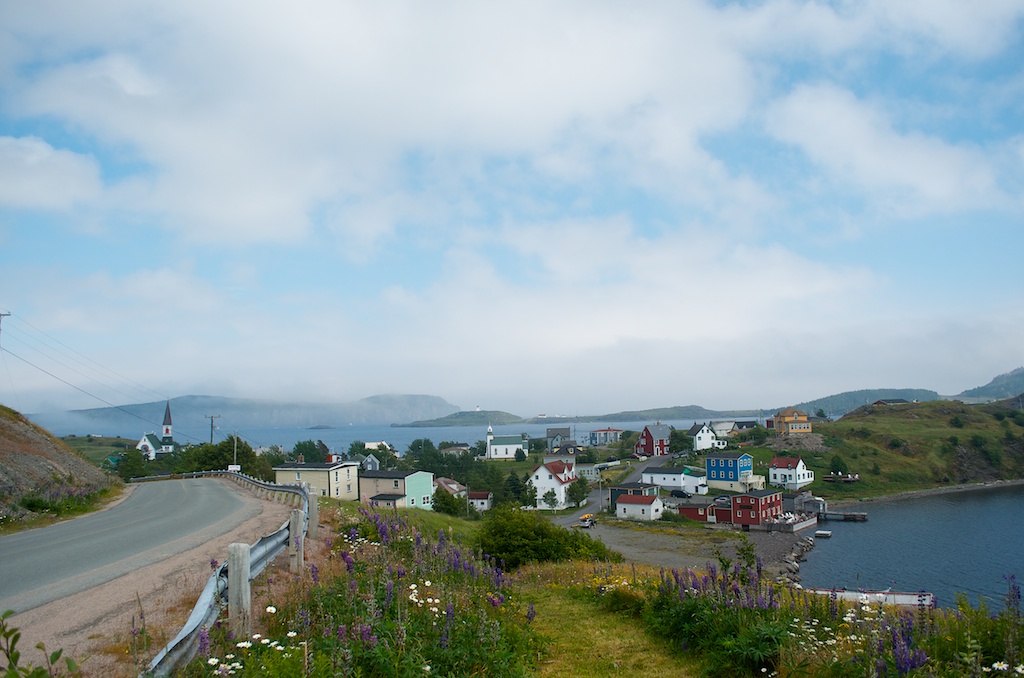
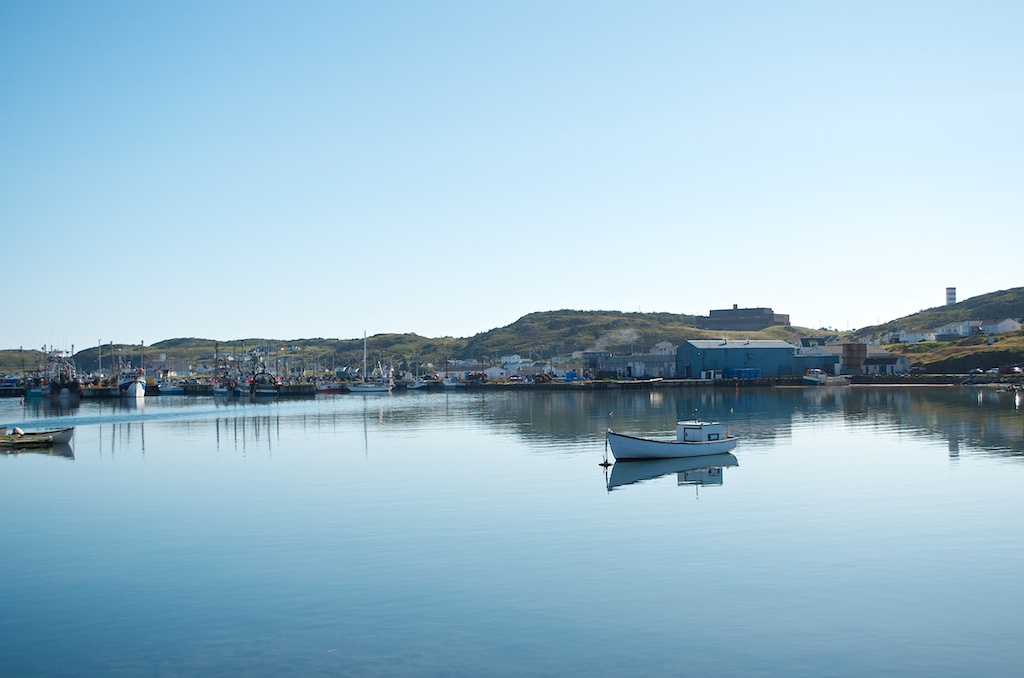
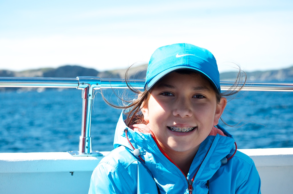
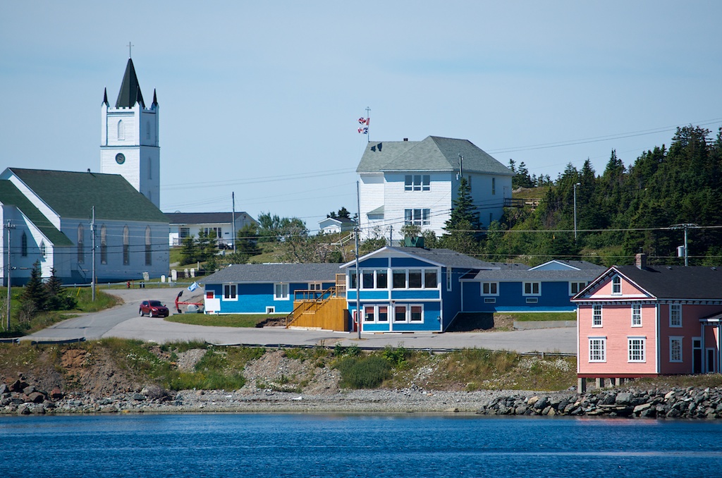
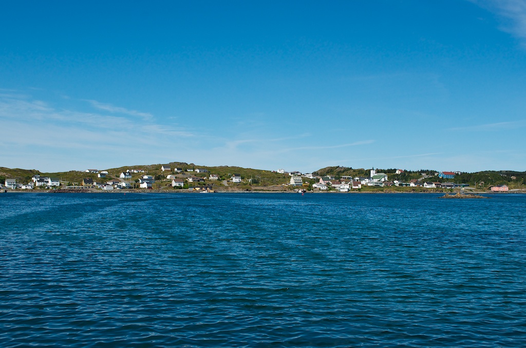
We headed to Twillingate to do a whale watching tour.
We drove around to kill some time before the tour.
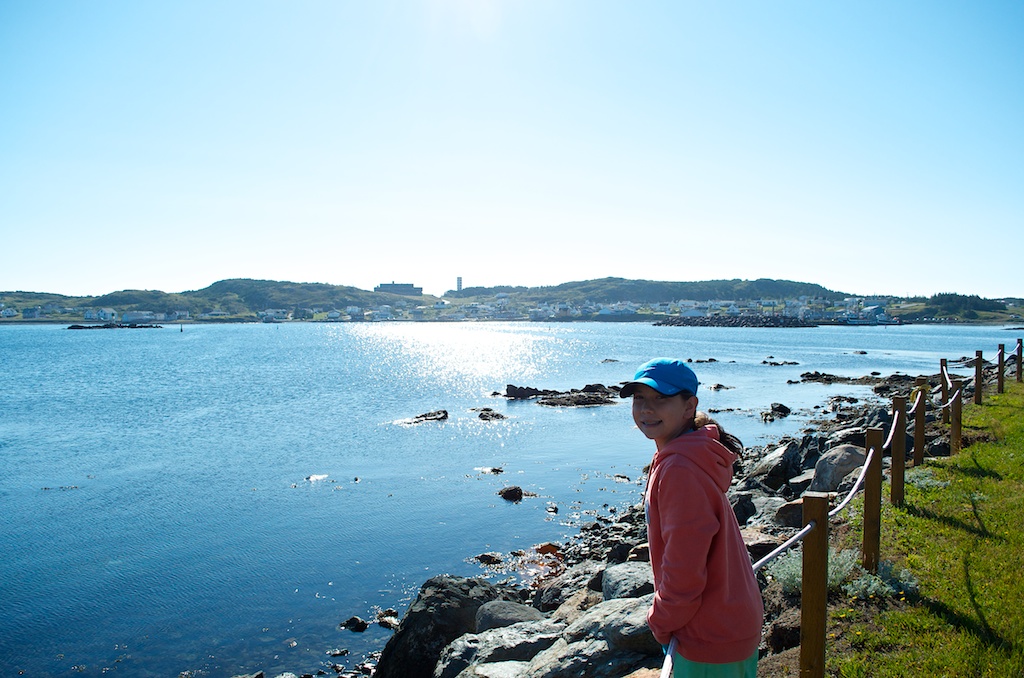
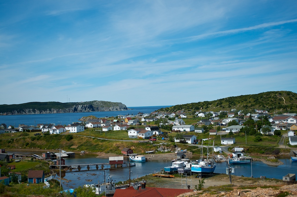
Claudia looking over to Twillingate South.
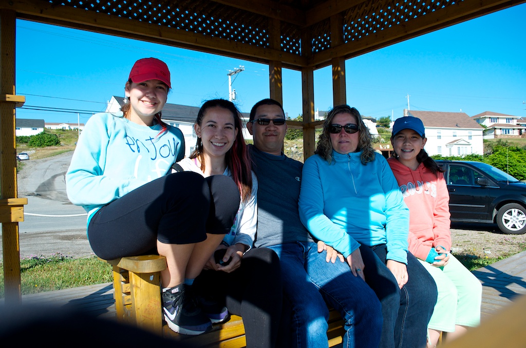
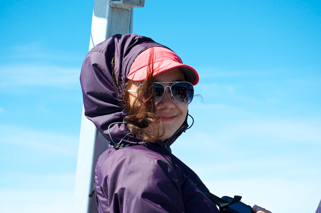
The Tanabe’s in Twillingate.
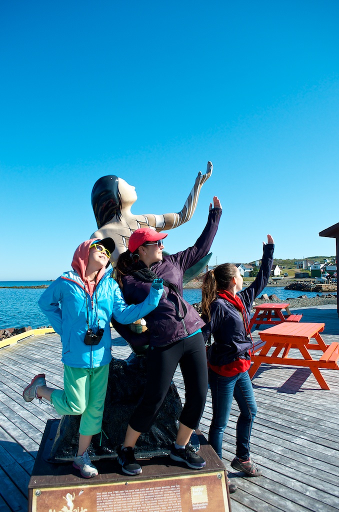
On the dock with the mermaid. The Mermaids in the City ran in St John’s in 2006. Kind of like the moose in Toronto.
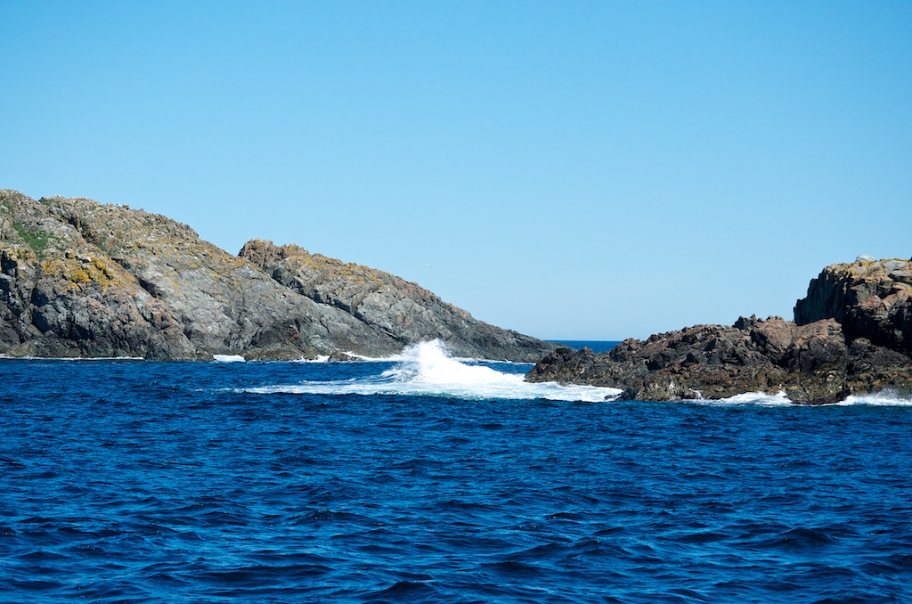
Heading out hoping to see some whales. There were no icebergs around.
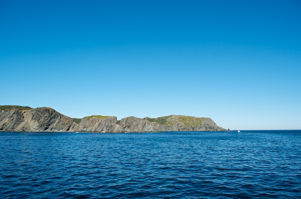
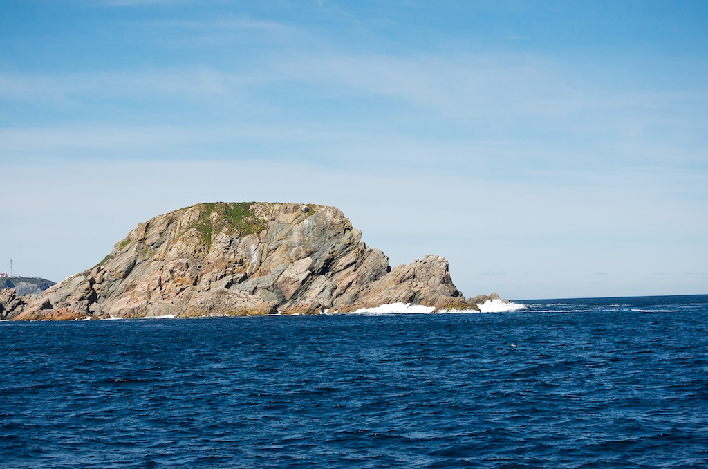
Burnt Island.
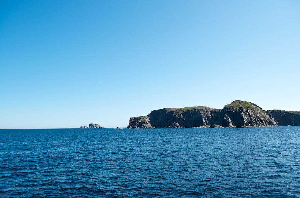
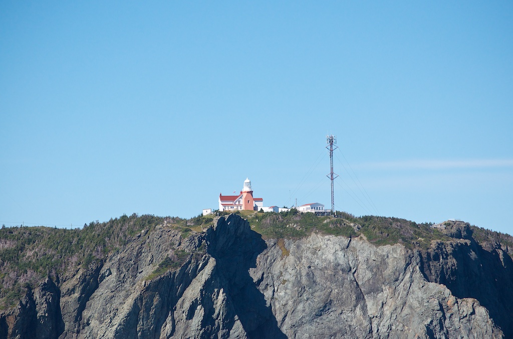
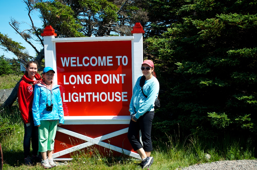
The Longpoint Lighthouse.
Early on there were no sightings.
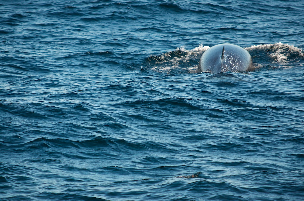
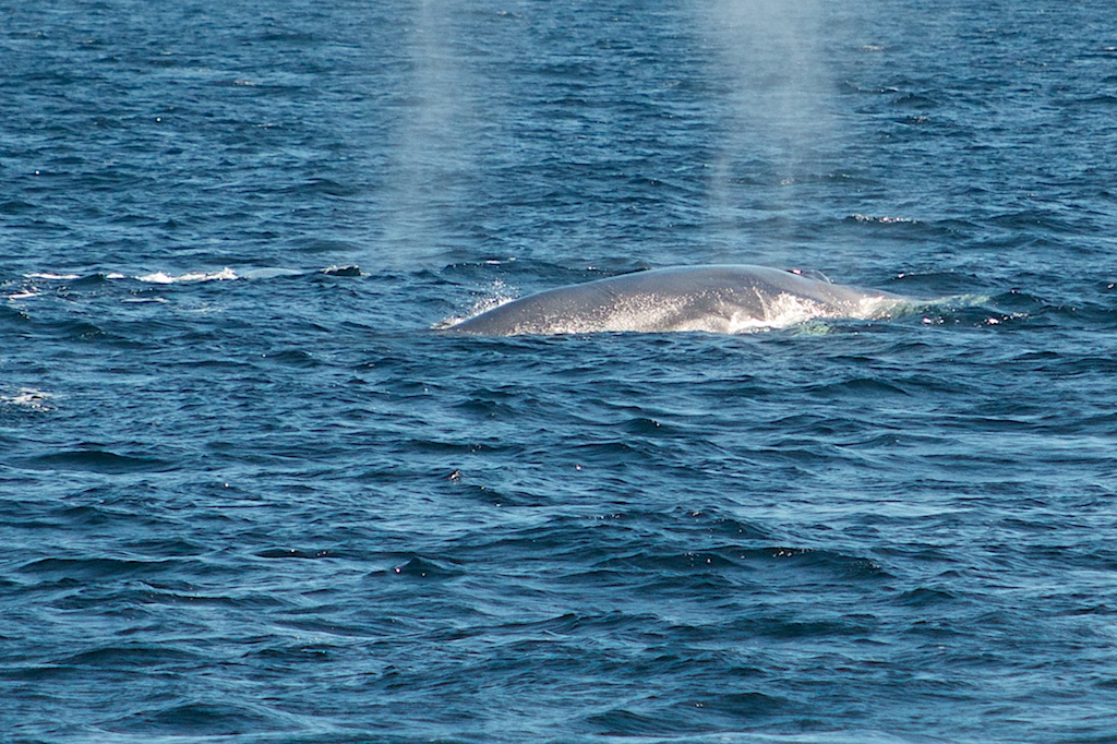
And then we saw a minke whale.
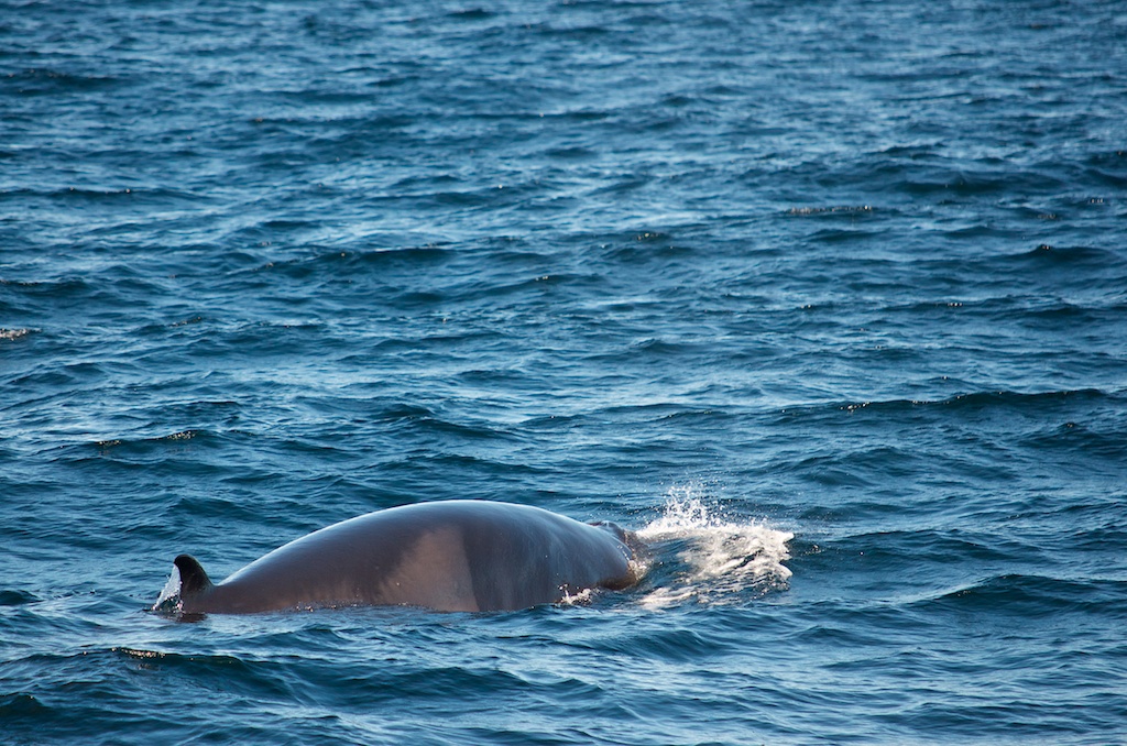
And followed it around.
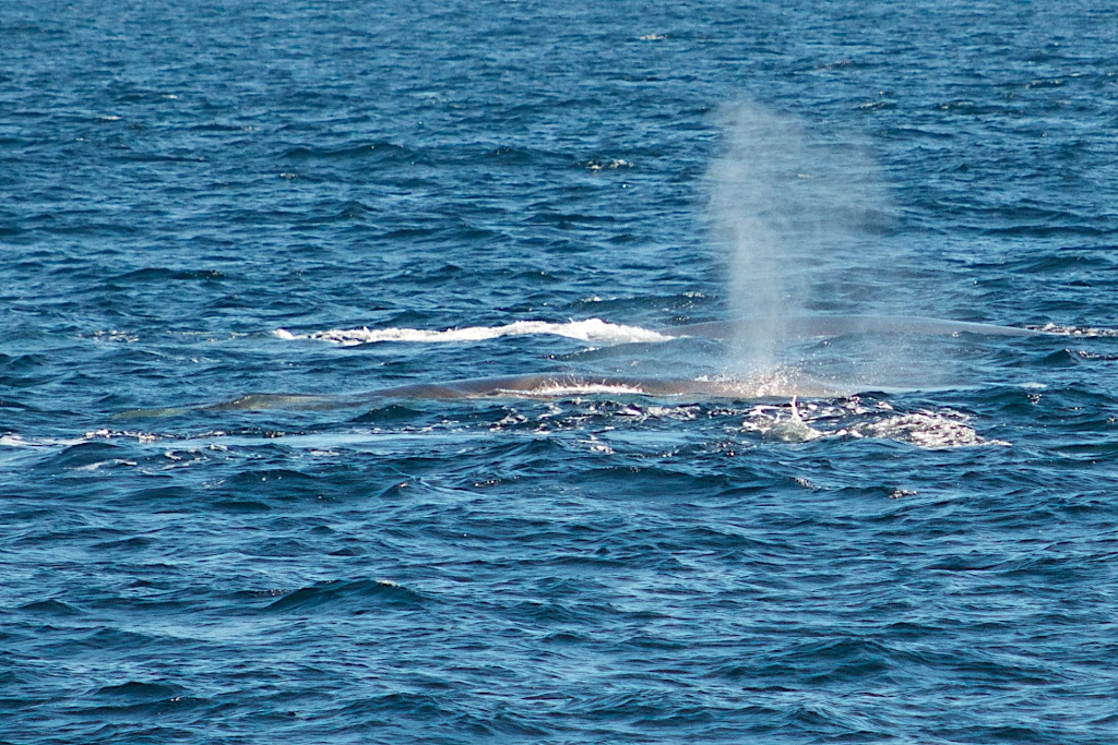
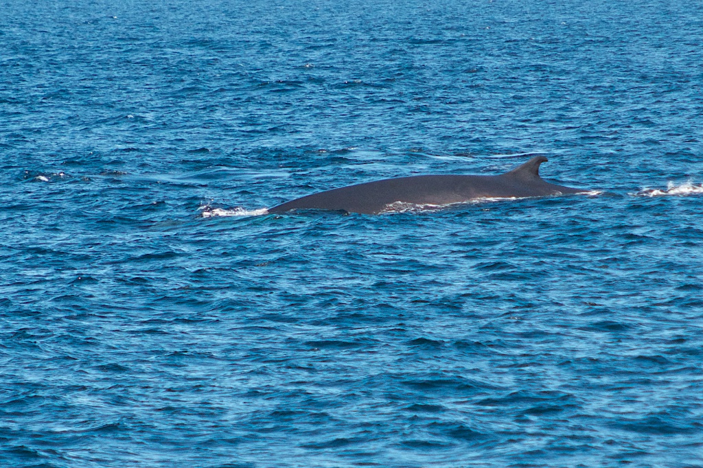
Then there were three fin whales.
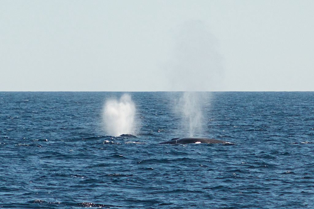
The fin whales are up to 23 m in length.
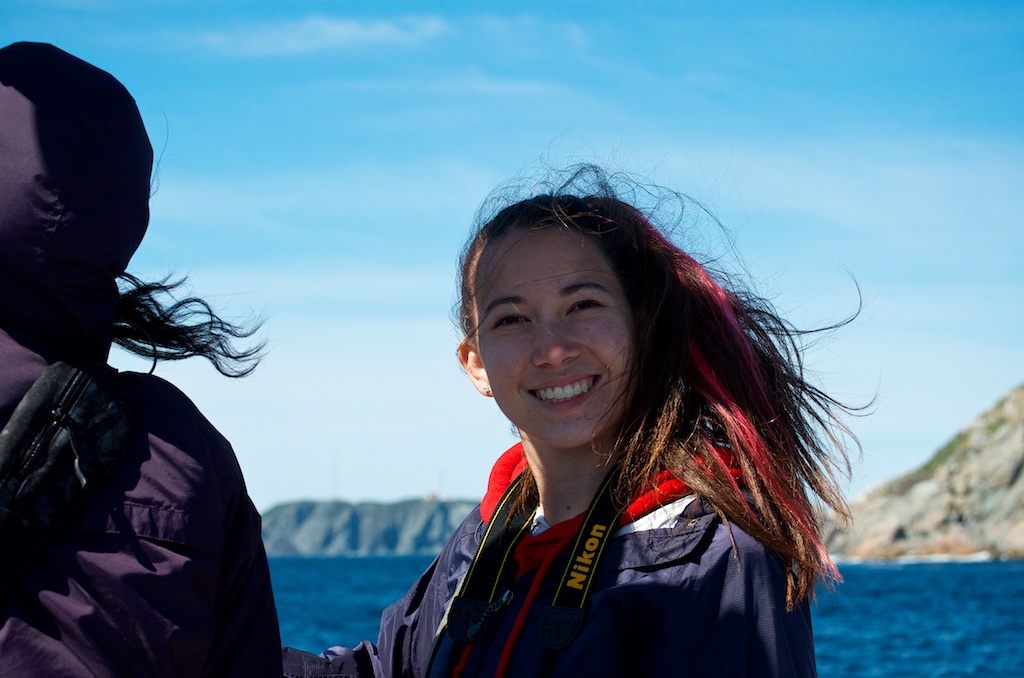
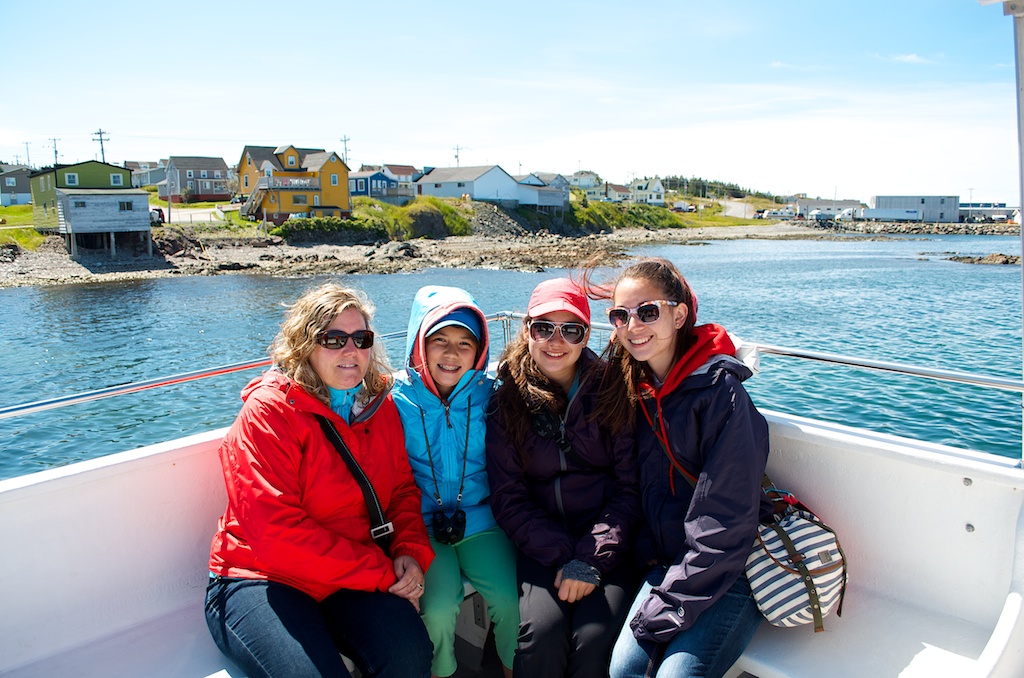
The girls were happy to see the whales.
The weather was perfect. What a difference from yesterday.
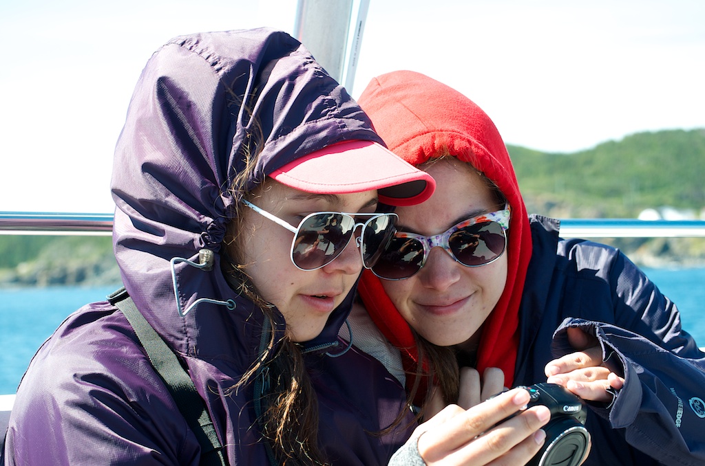
Angela and Gillian looking at her pictures. (I got heck from the girls for originally captioning this as “Angela and Claudia”)
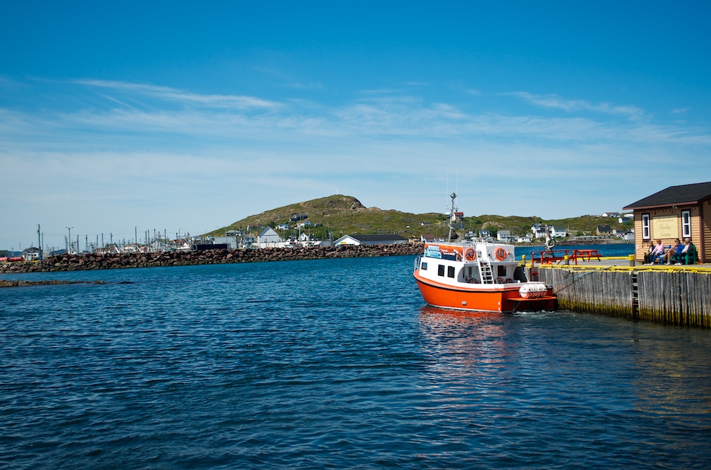
After a couple of hours we headed back for shore.
The girls back in Twillingate.
That was our boat.
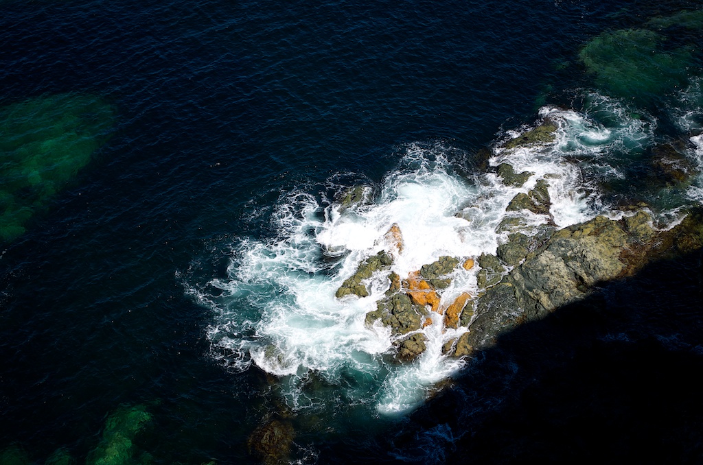
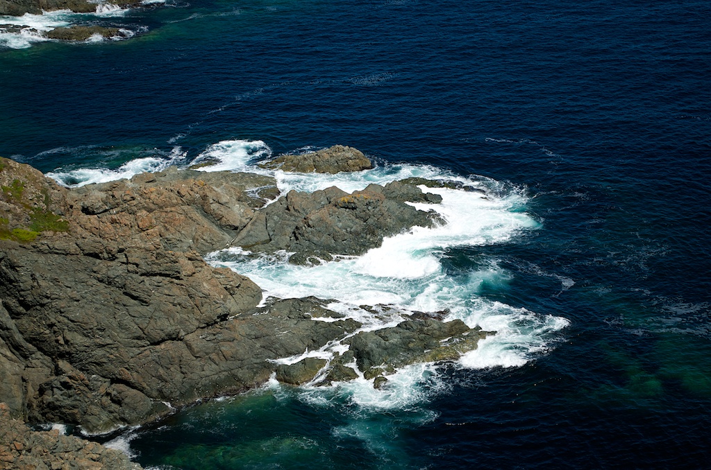
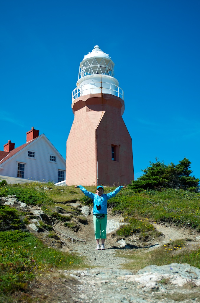
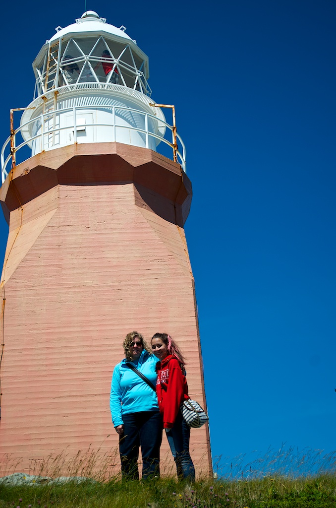
We took the drive out to Crow Head and the Long Point lighthouse. Looking down at the waves crashing the rocks.
Angela at the edge.
The lighthouse was built in 1875.
Claudia holding up the lighthouse.
The girls goofing around.
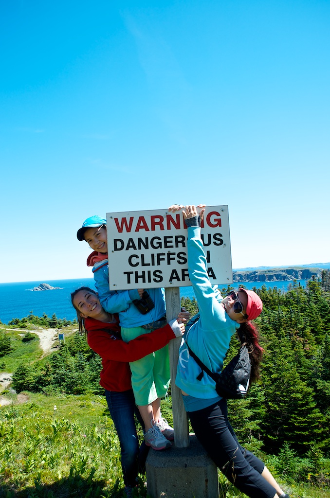
Another “I thought we were done with these…” photos.
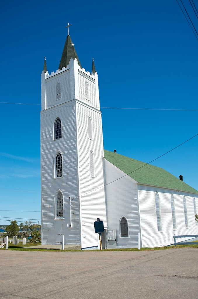
St Peter’s Anglican Church is one of the oldest wooden churches in Newfoundland. It was completed for 1844.
We took in the Durrell Museum.
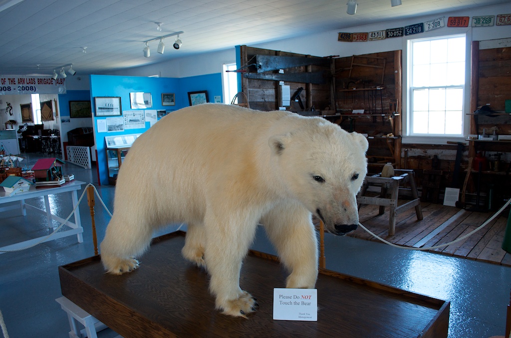
The polar bear that came to Twillingate in 2000 on the ice. It had to be destroyed and was eventually returned to the town for tourism purposes.
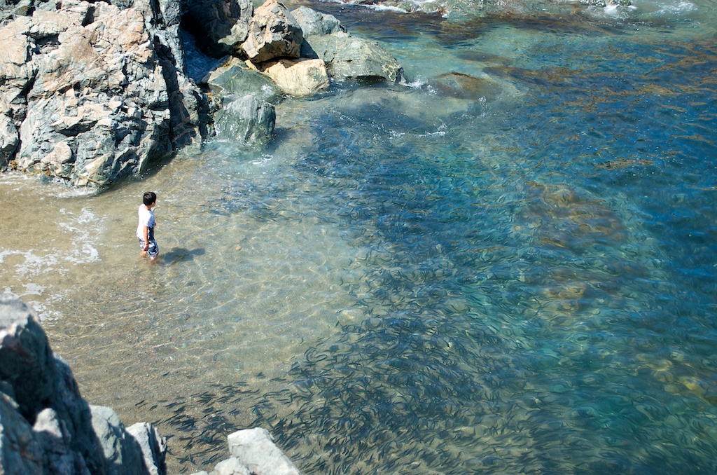
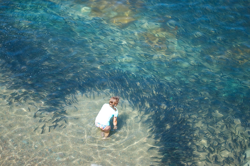
At the end of the road was French Beach. There was a run of capelin, the black in the water.
Some rocks to climb around on.
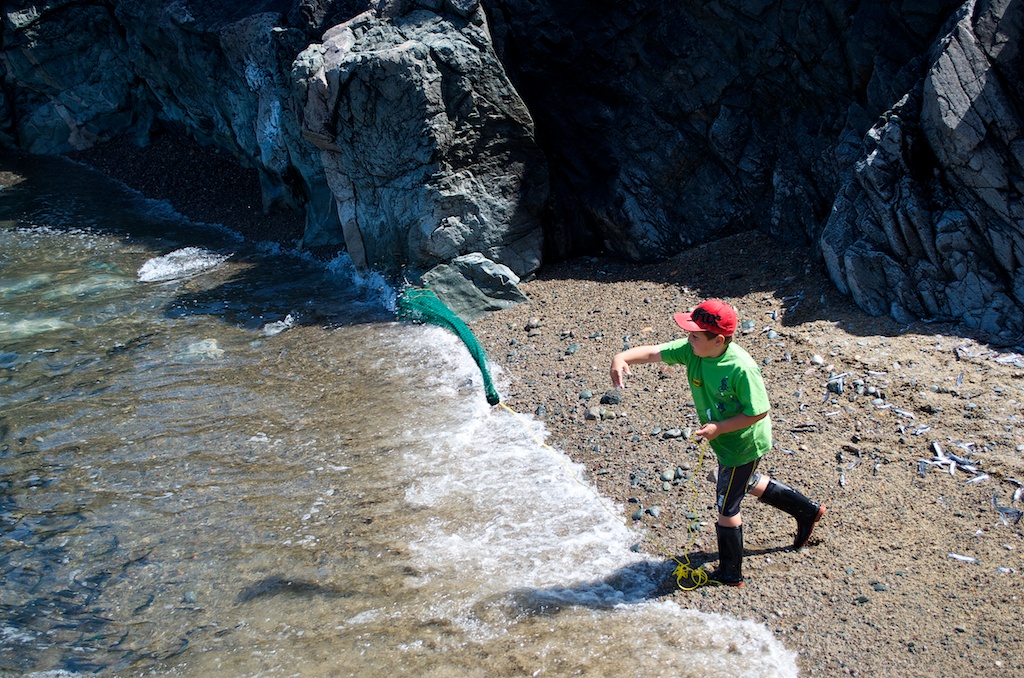
This local boy was catching the capelin with his net.
Angela giving Mom fits.
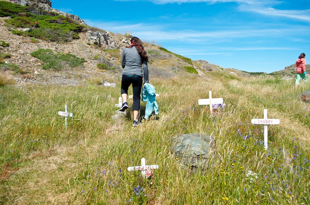
There was a pet cemetery.
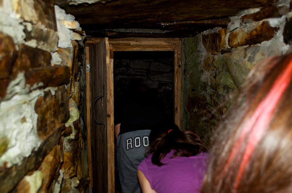
We found some root cellars.
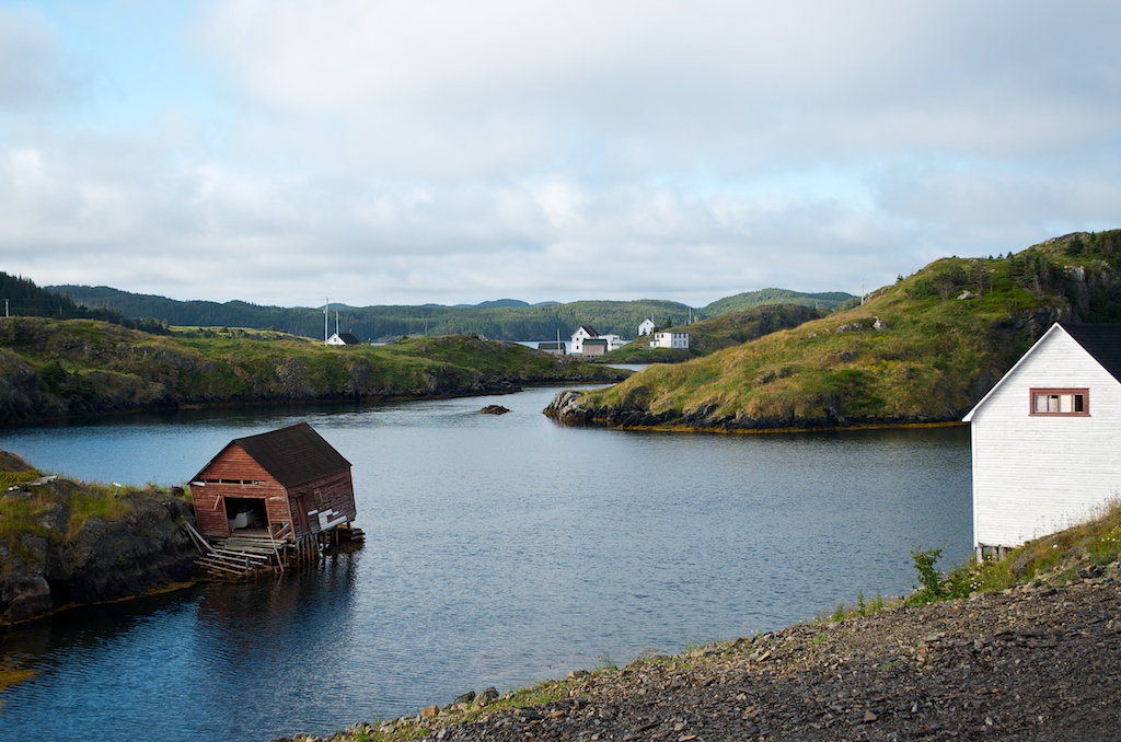
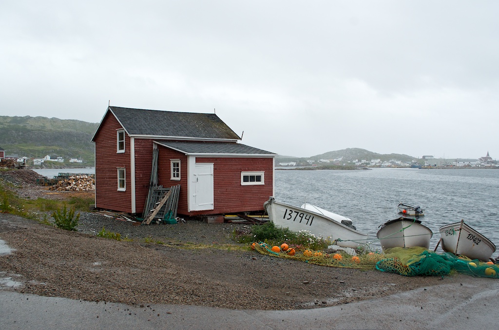
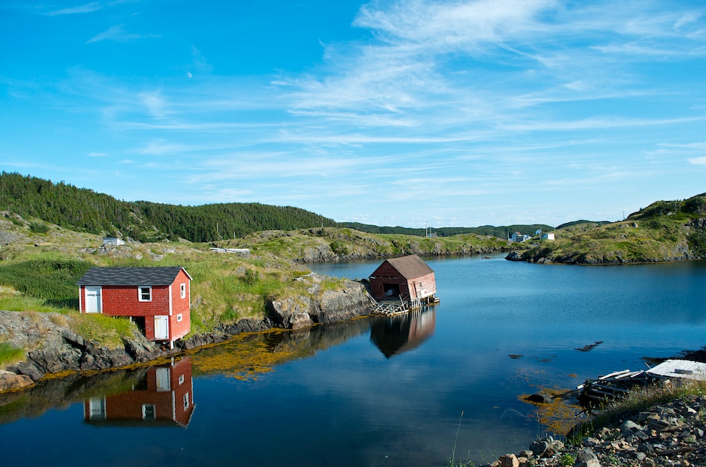
One of the boat house across the road from our house.
We took a drive to Merrit’s Harbour. Here is Claudia hanging from the cliff.
Claudia managed to climb back up.
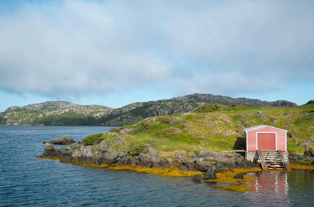
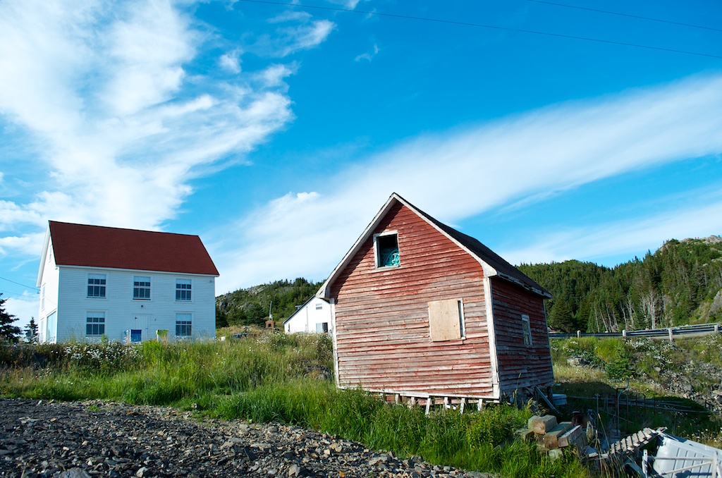
A root cellar in Herring Neck.
The end of day.
Our drive today. A. Herring Neck B. Twillingate C. Crow Head D. Merrit’s Harbour
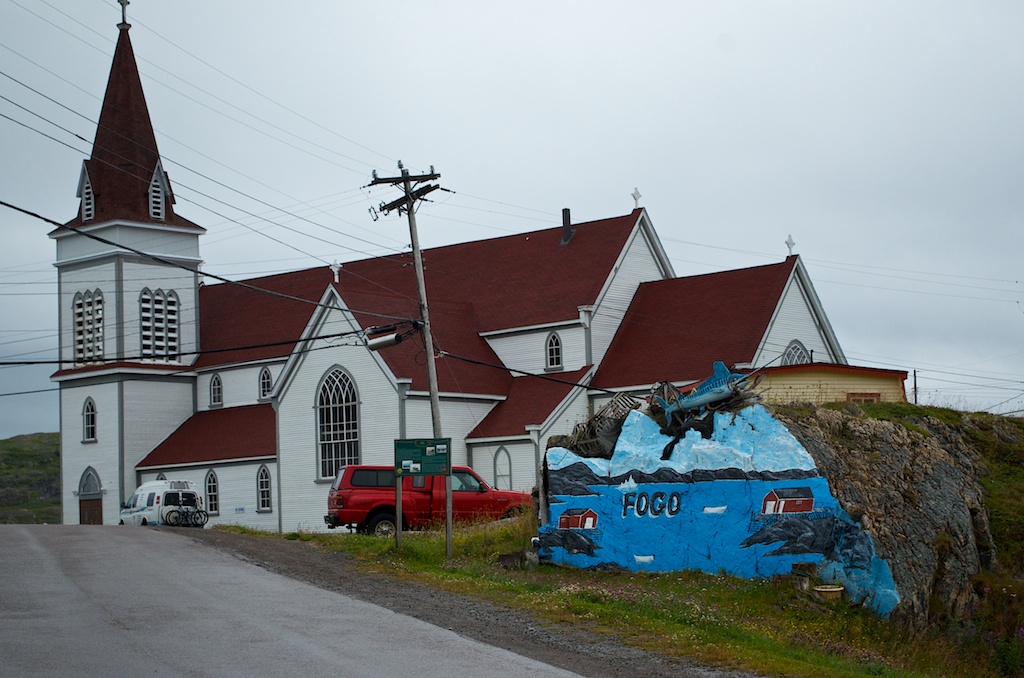
On Thursday with the weather not looking so great we headed for Fogo Island.
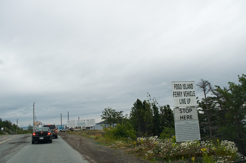
The Change and Fogo Islands ferry.
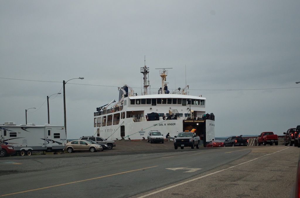
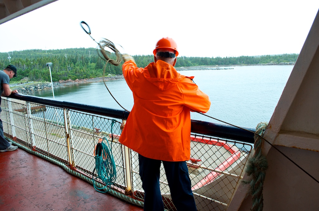
The crossing is 45 minutes from Farewell, NL to Fogo Island, with a stop at Change Island.
One of the crew tossing the rope ashore at the Change Island dock.
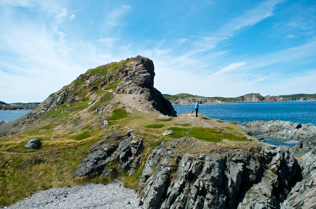
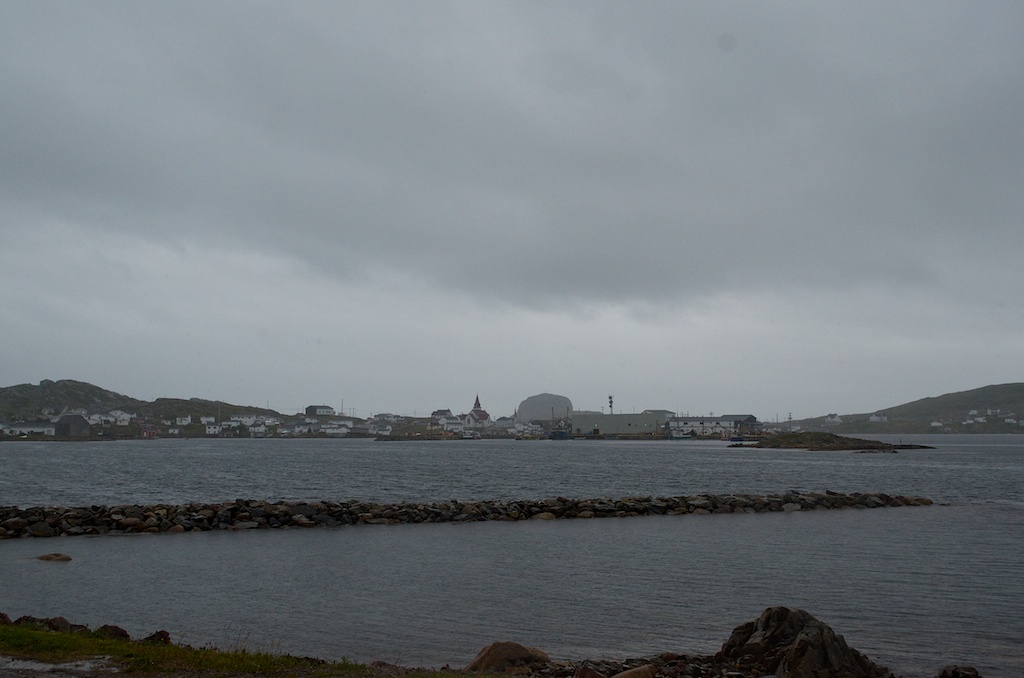
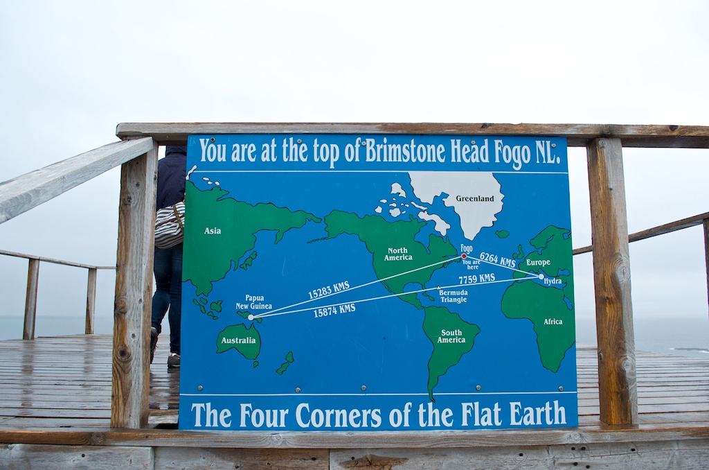
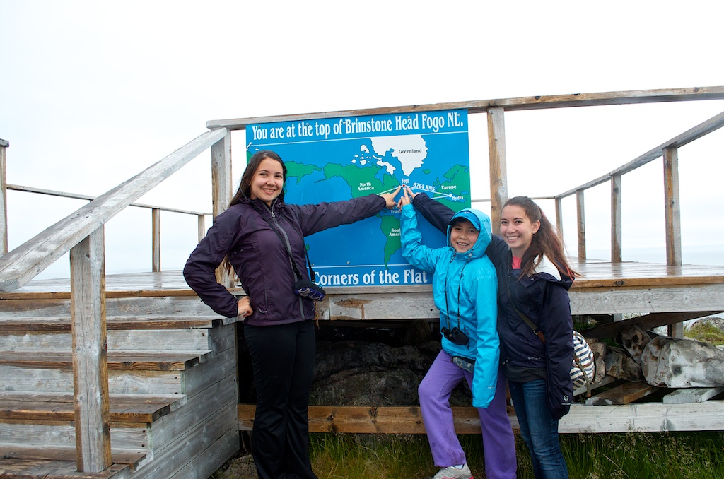
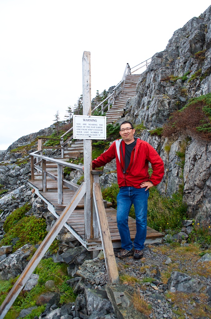
In the middle of the photo is Brimstone Head. According to the Flat Earth Society, Brimstone Head is one of the four corners of the earth.
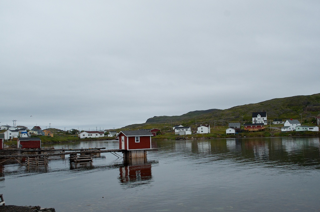
On Fogo Island there are about 10 small communities, the main one is Fogo. It was first settled in 1697. When we arrived it was raining pretty good, so we headed to Beaches Restaurant for a bite to eat.
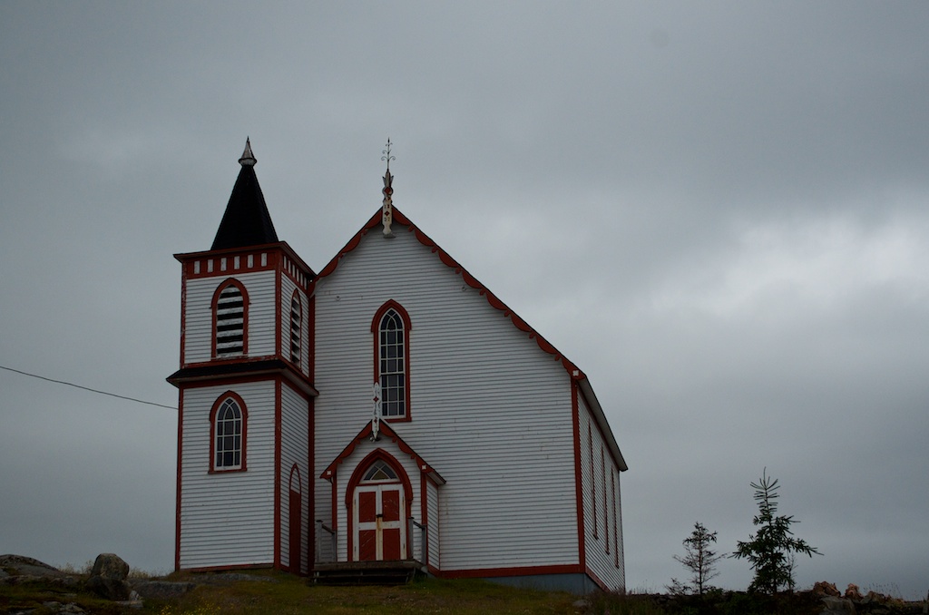
Our Lady of the Snows Roman Catholic Church built in 1897.
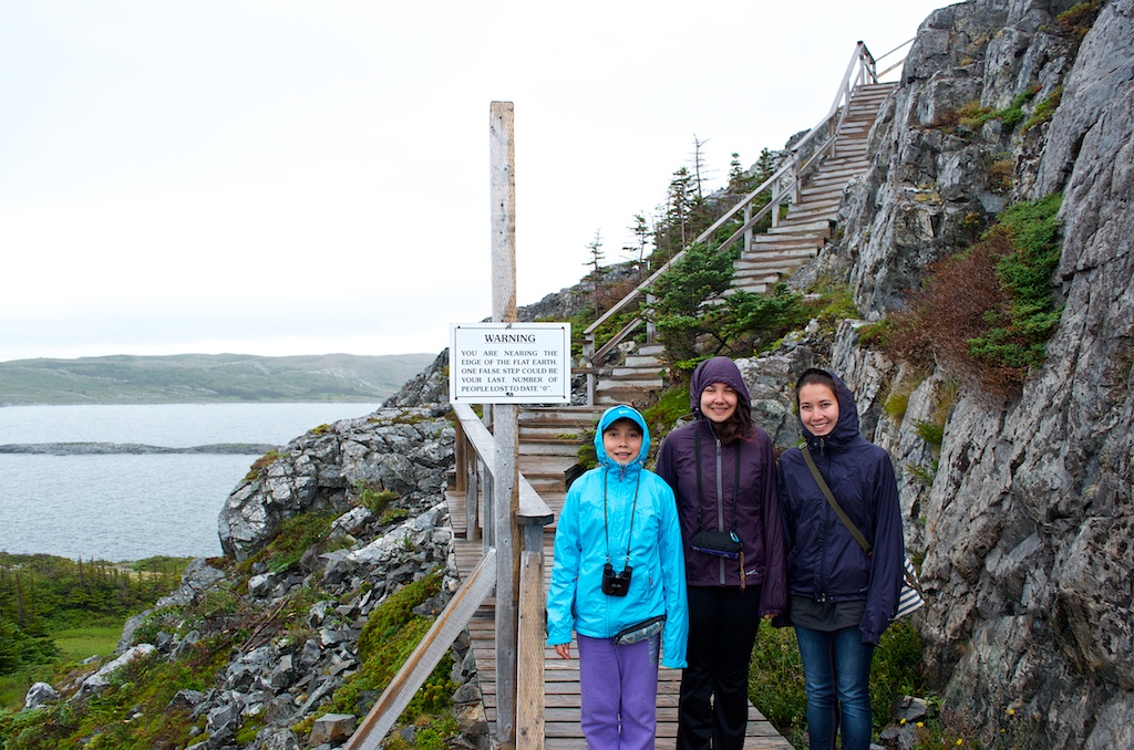
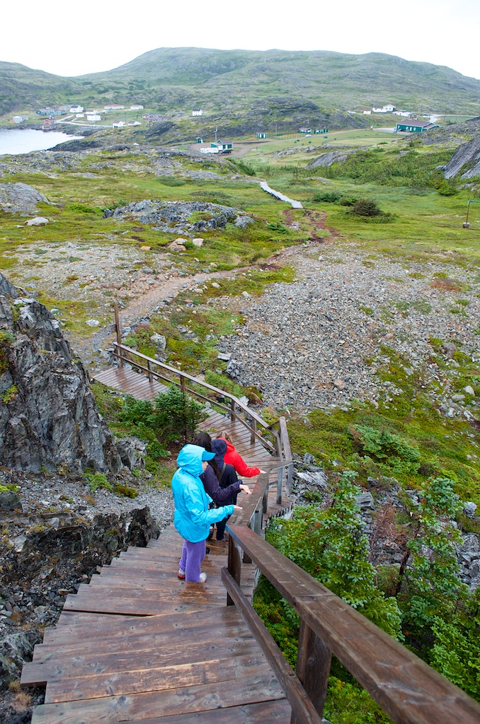
After lunch we headed for the Brimstone Head trail head. Here is the warning sign at the bottom of the stairs.
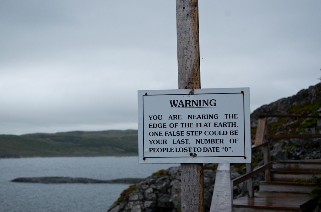
Our brave souls ready to take the risk.
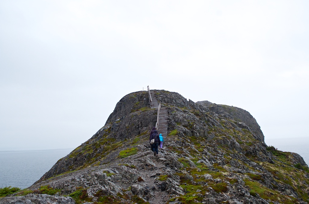
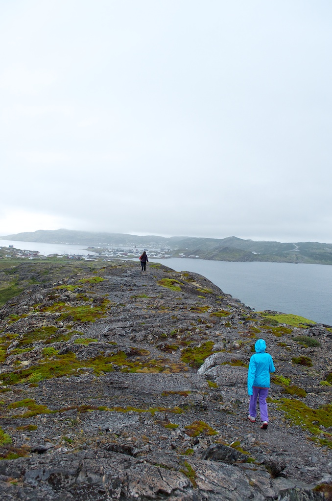
Heading up to the top.
Susan along the trail.
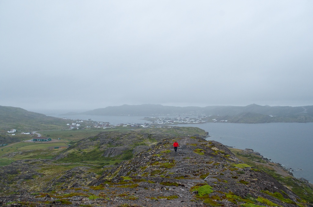
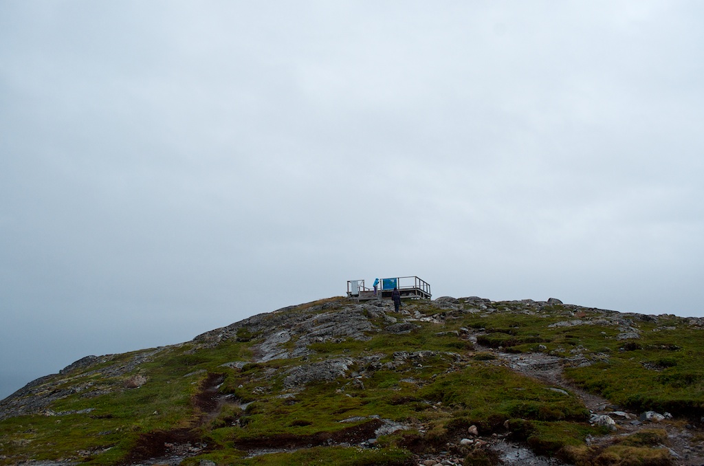
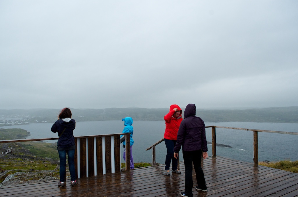
The platform at the top of Brimstone Head.
The map showing the four corners, Fogo, Papua-New Guinea, Bermuda Triangle and Hydra-Greece.
It was windy at the top.
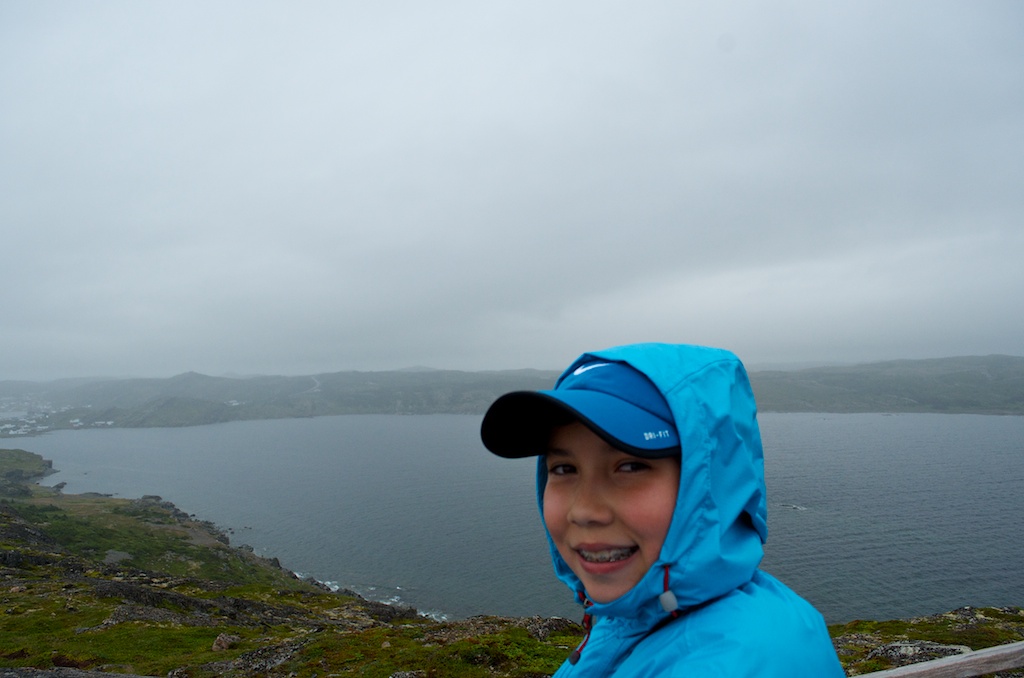
Claudia at the top.
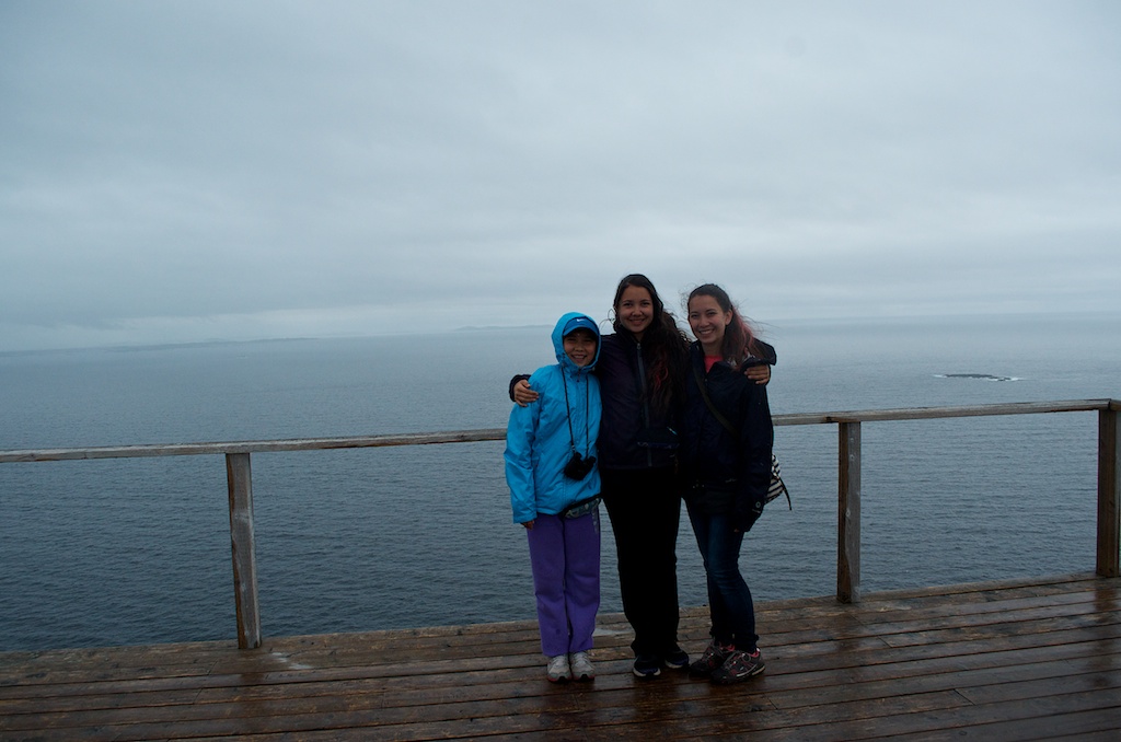
The girls pointing to Fogo.
Time to head back and catch the ferry.
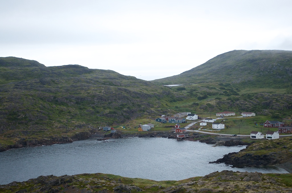
The two white buildings at the bottom right are Old Salt Box homes owned by the same people as our place.
Me at the warning sign.
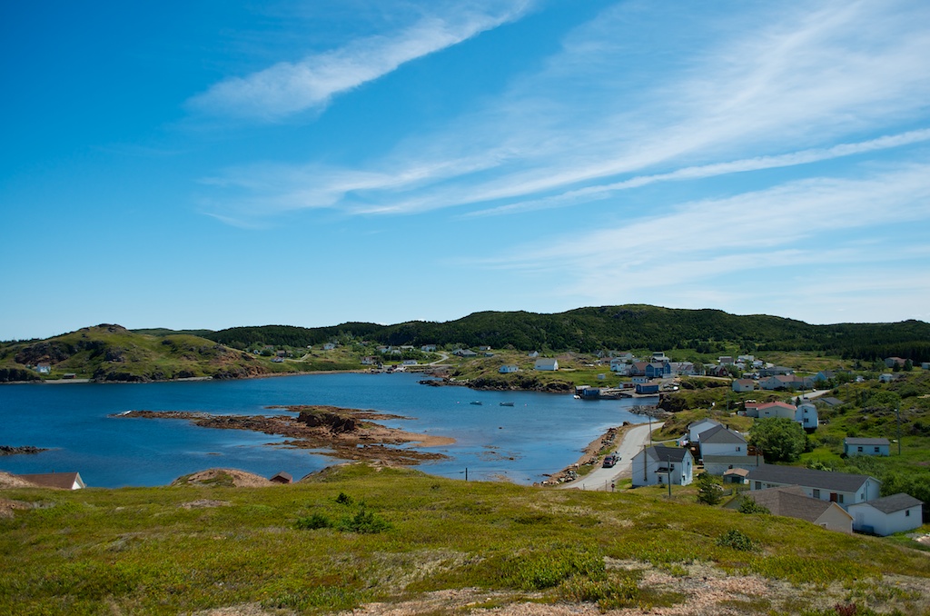
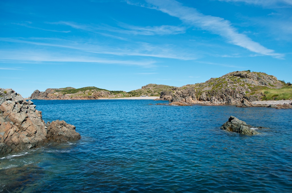
Some of the scenery around Fogo.
The United Church, formely the Methodist Mission’s Church built in 1877. The bell tower was added in 1948.
St Andrews Anglican Church, built in 1910.
On Fogo Island you don’t have to watch out for moose, it’s caribou.
Heading back to Farewell.
Claudia still smiles, Angela a little tired.
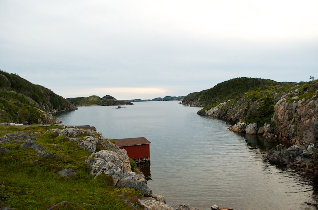
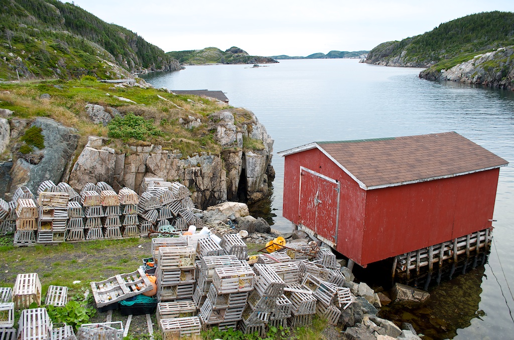
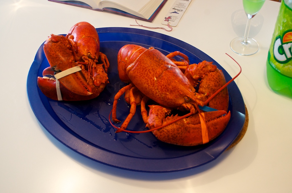
On our way back to the cottage we stopped for some fresh lobster for dinner.
We bought our lobsters from Sansome and Sons Lobster Pool.
We bought almost 11 pounds of lobster at $6.65/lb.
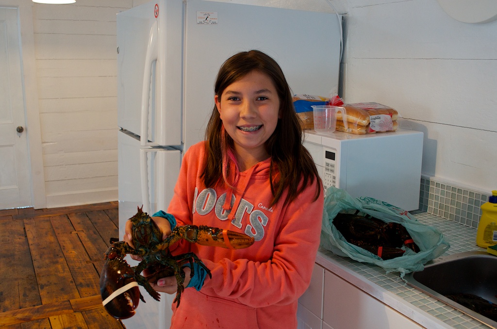
Angela with Bob.
We didn’t have a big lobster pot, so we had to do a couple at a time.
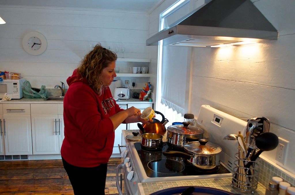
The first two are ready. They were delicious.
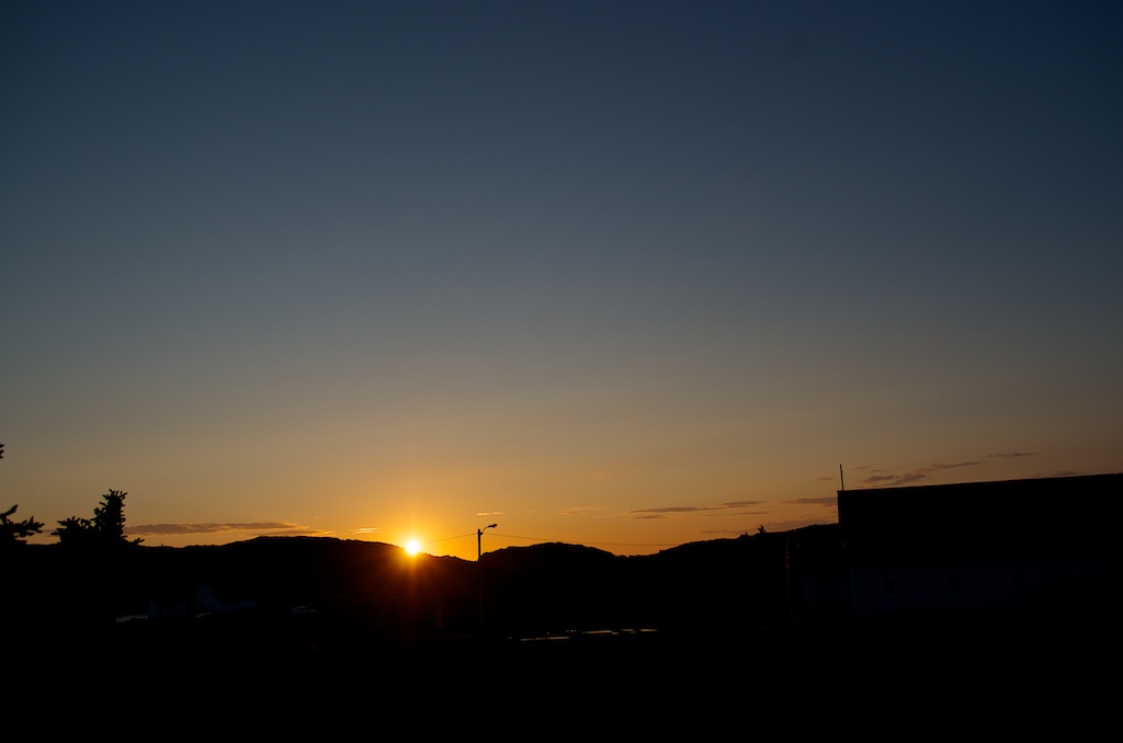
After the grey morning and showers, it cleared by the afternoon and made for a nice sunset.
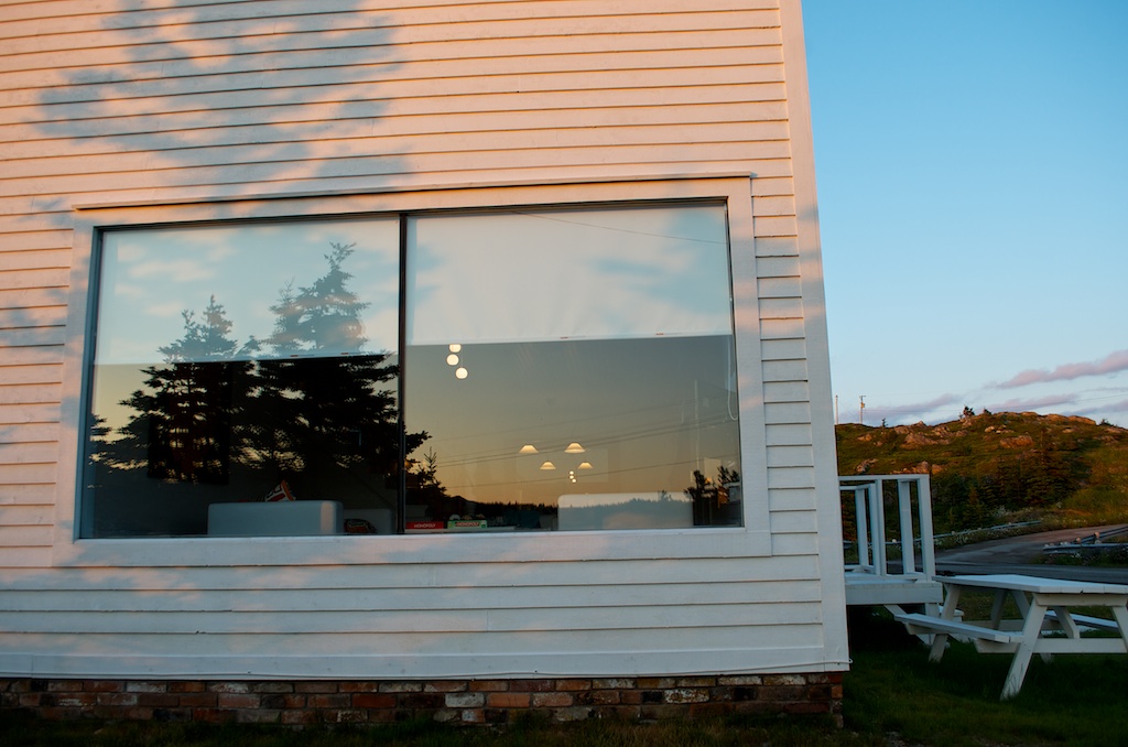
Our picture window.
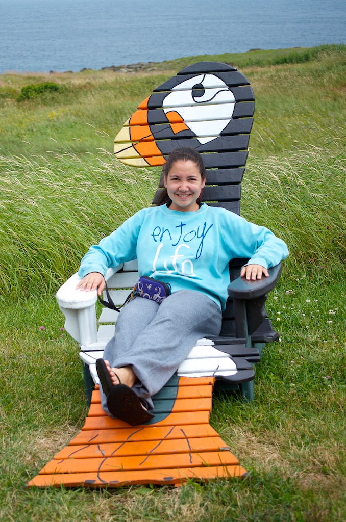
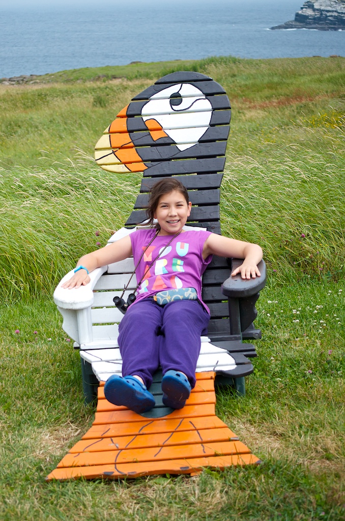
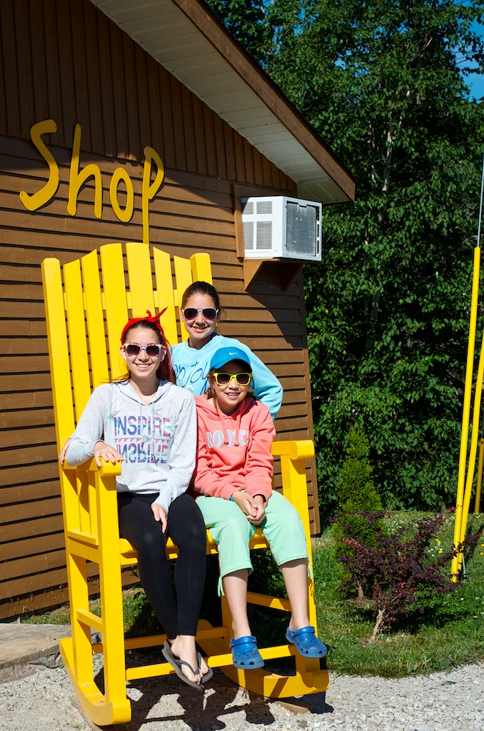
The girls on a big wooden rocking chair at the Middle Brook cottage.
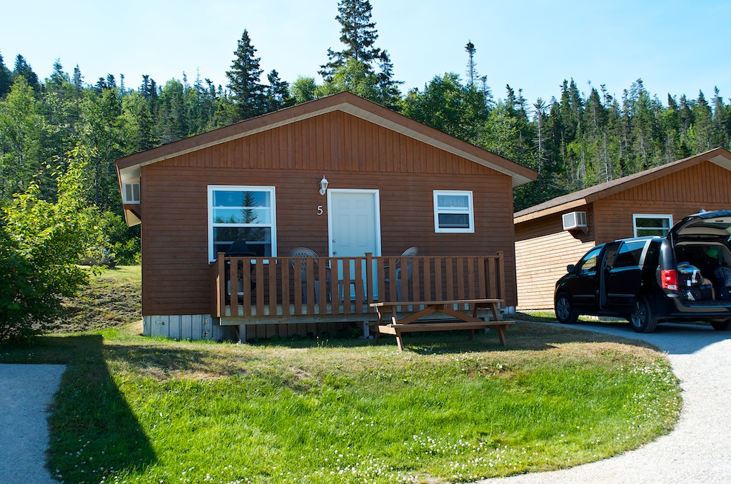
Our cottage, number 5.
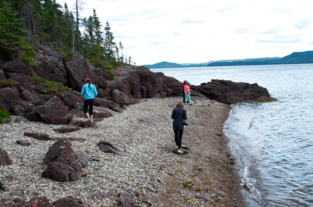
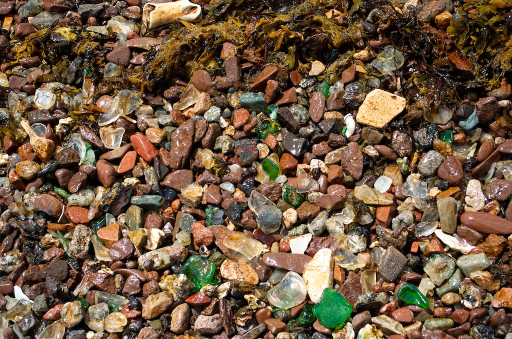
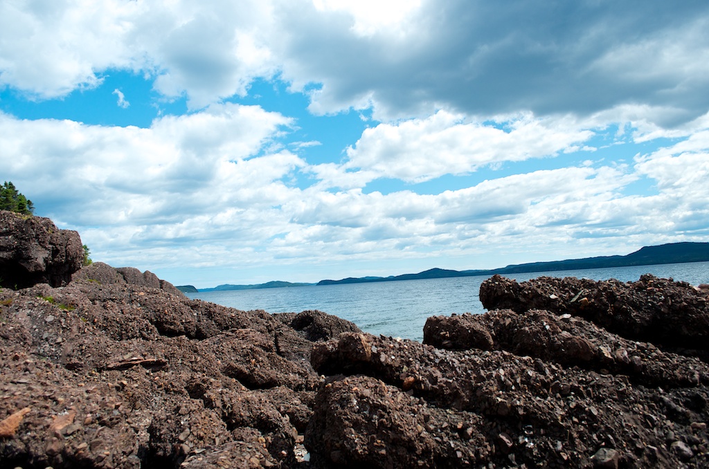
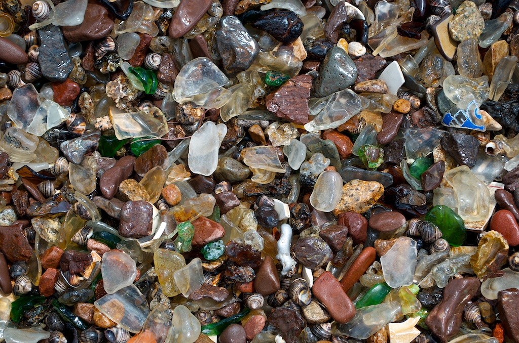
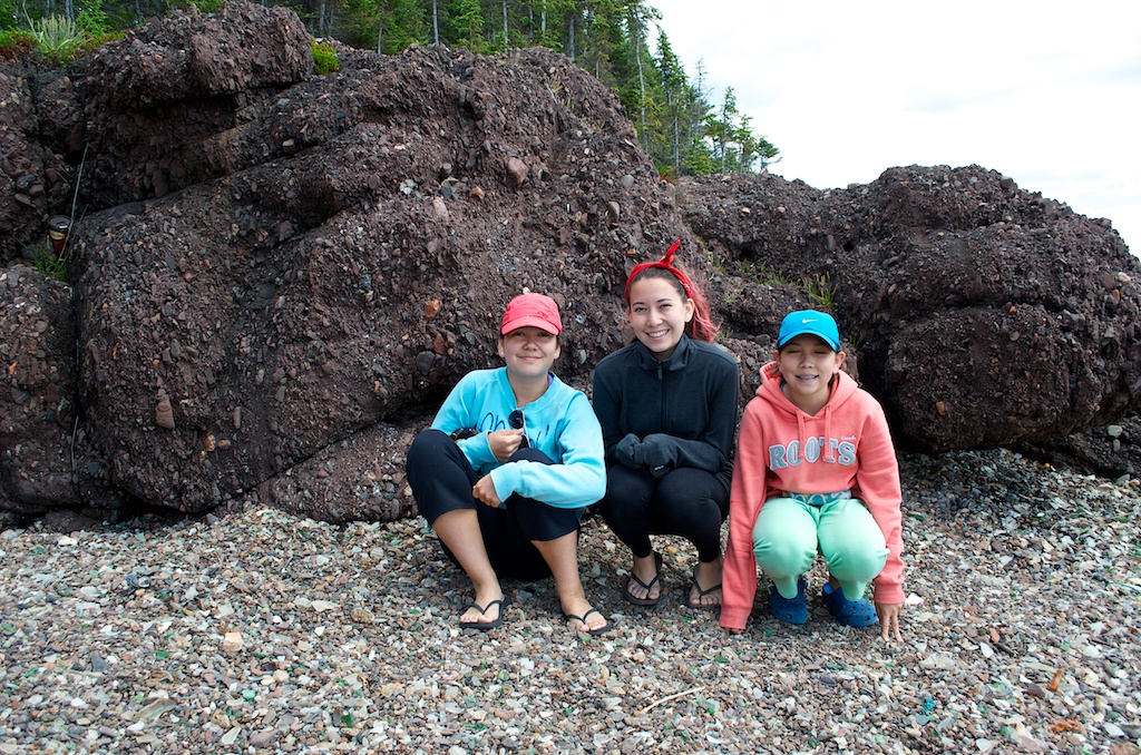
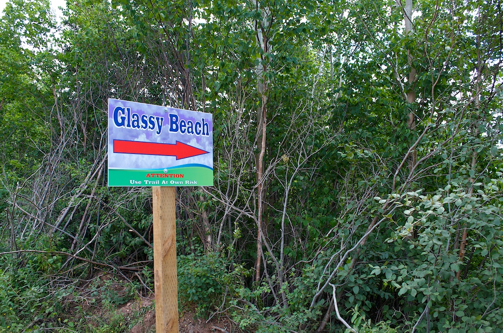
We made one stop along the way at Glassy Beach in Springdale, NL.
This is small rocky beach with tons of sea glass.
A lot of it still needs more time.
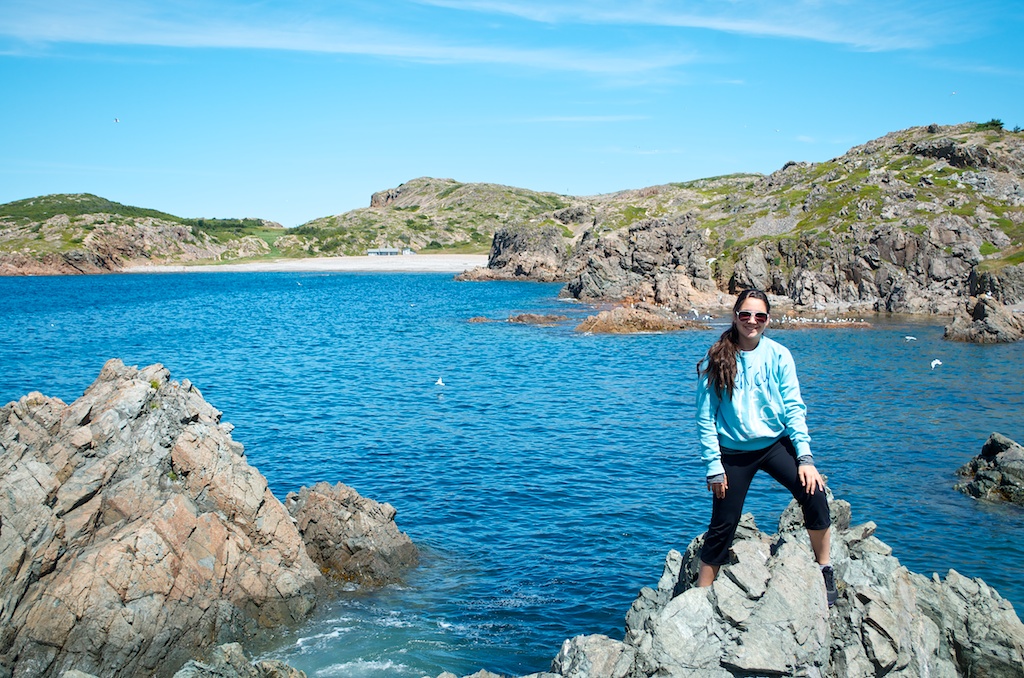
The girls were in sea glass heaven.
A sign pointing us in the right direction.
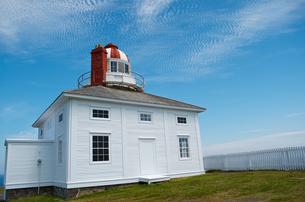
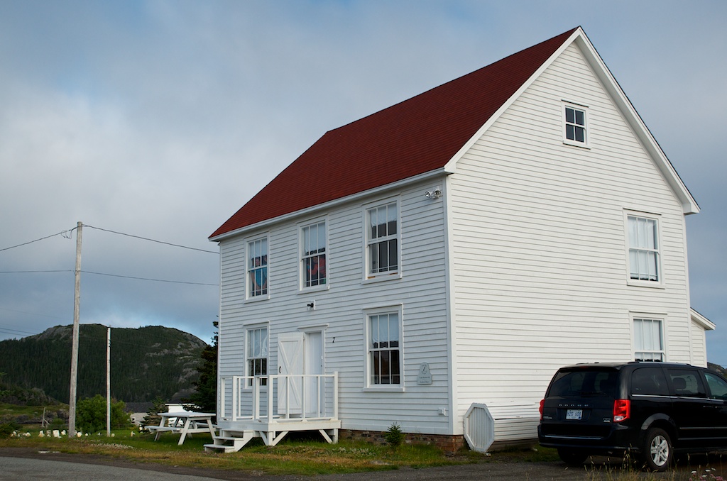
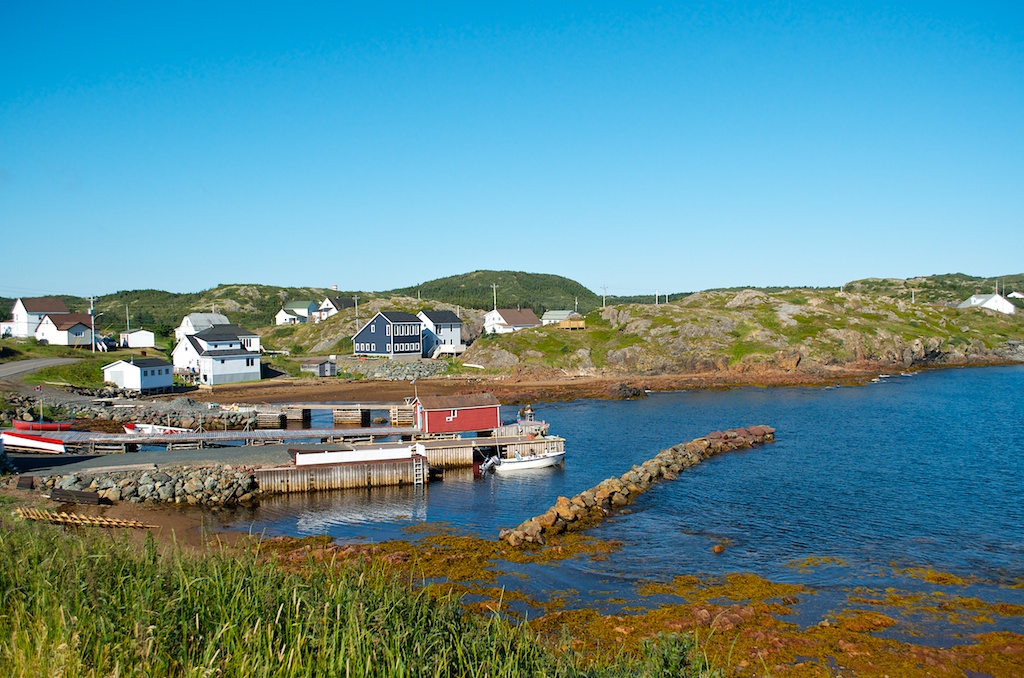
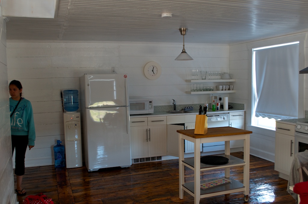
From Springdale it was on to Herring Neck. We arrived at our Old Salt Box Co. vacation home. The kitchen.
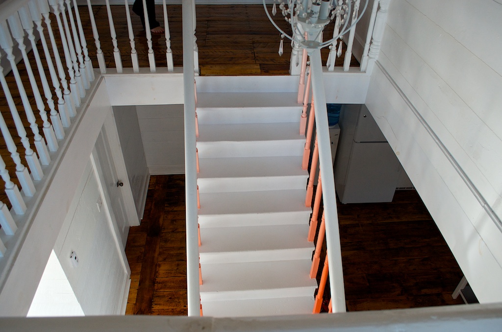
The stairwell.
The living room with big picture windows.
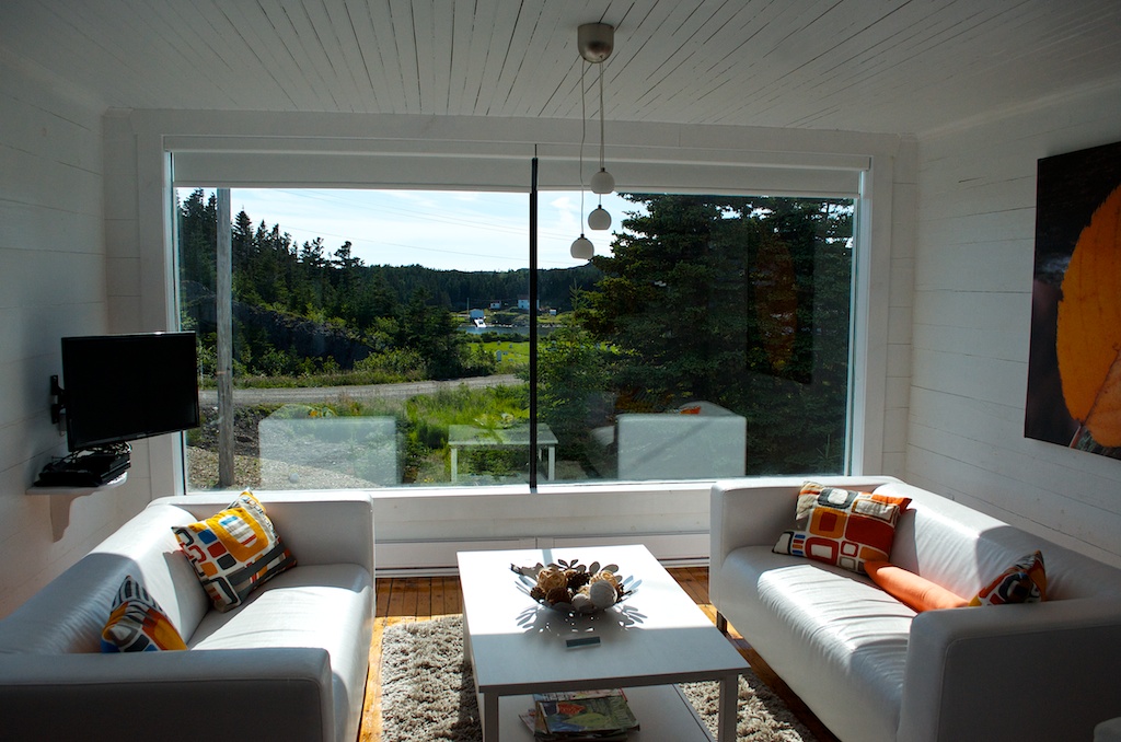
The view across the road.
The house is on the left.
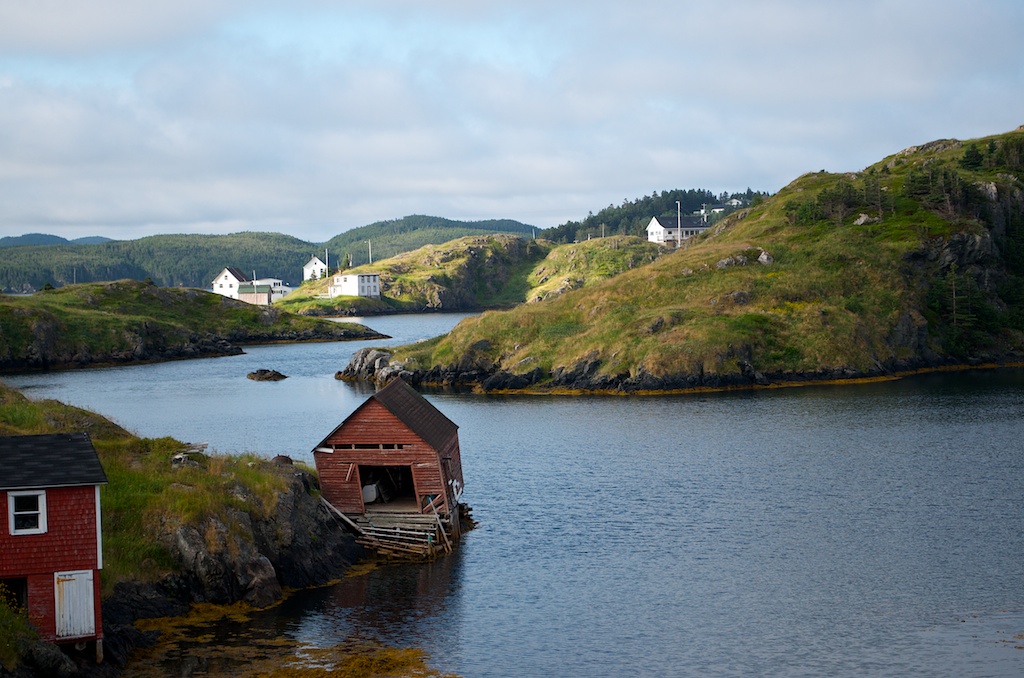
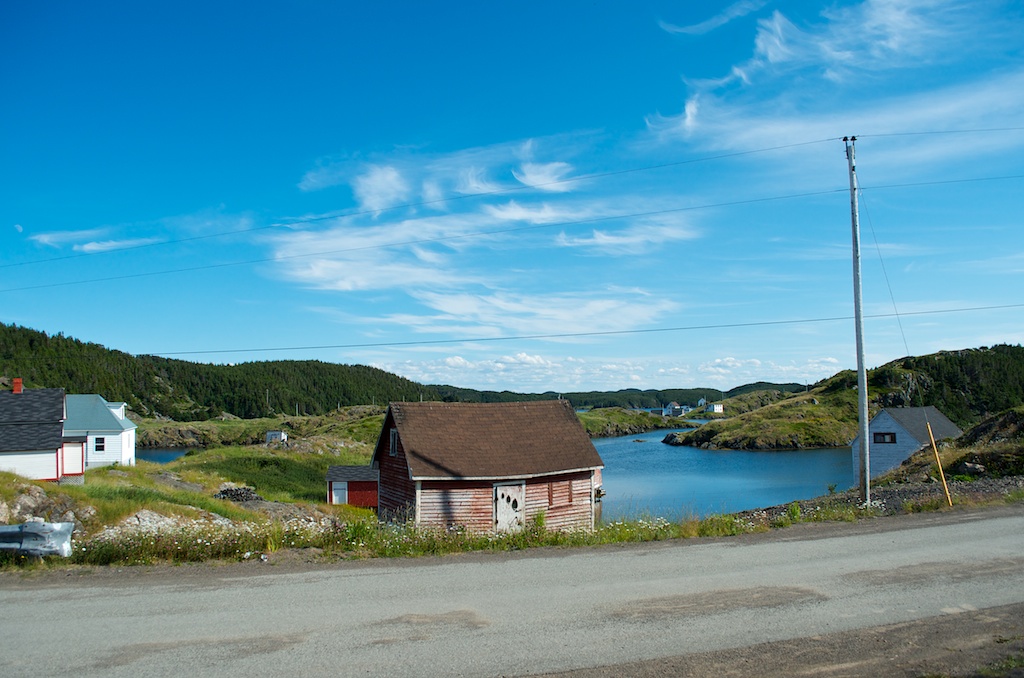
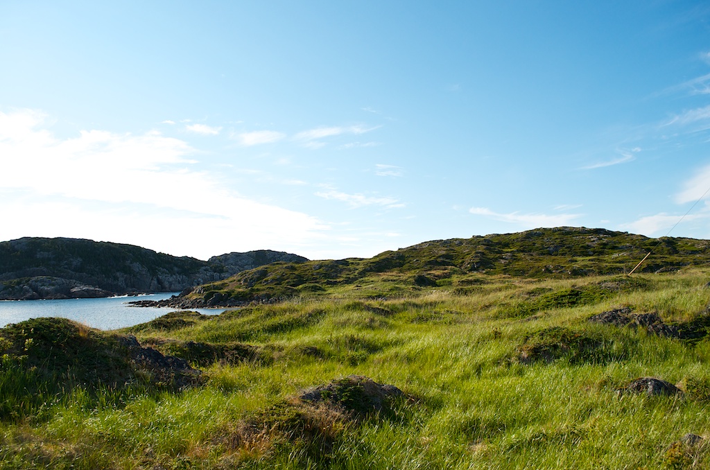
Some photos of the area around the house.
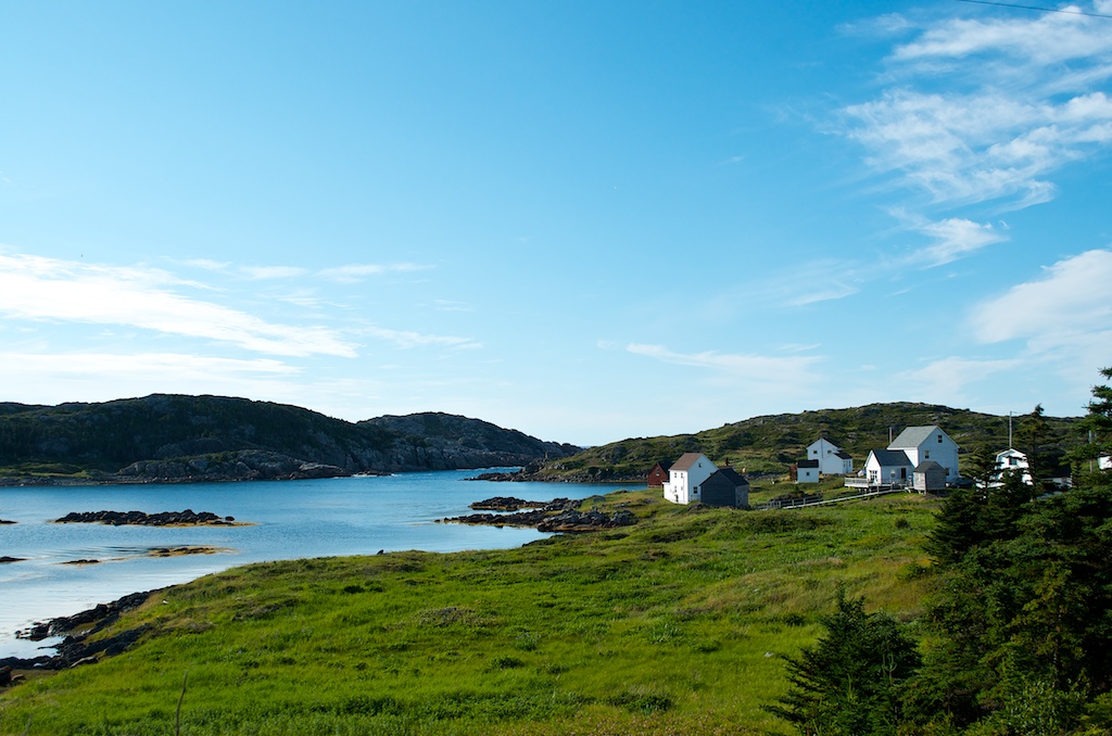
The Tanabe’s in shadows.
Down at the end of Church road.
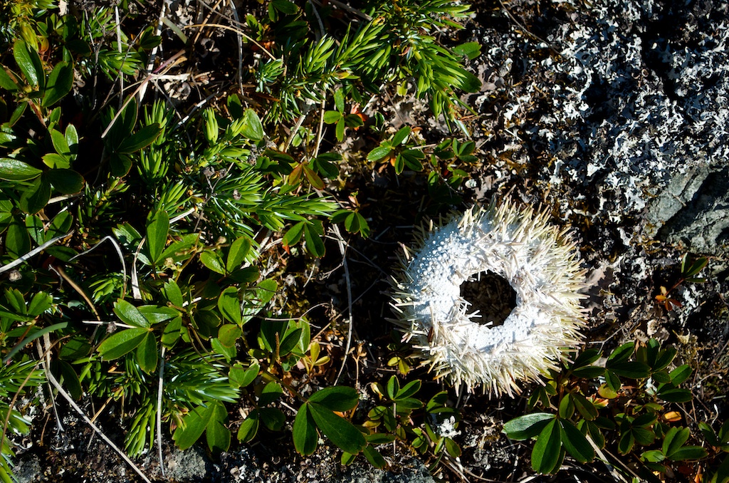
A sea urchin shell lying in the grass and rocks.
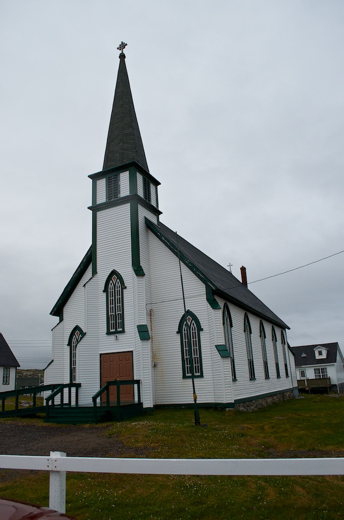
We spent some time reading the headstones at the Anglican Church next door.
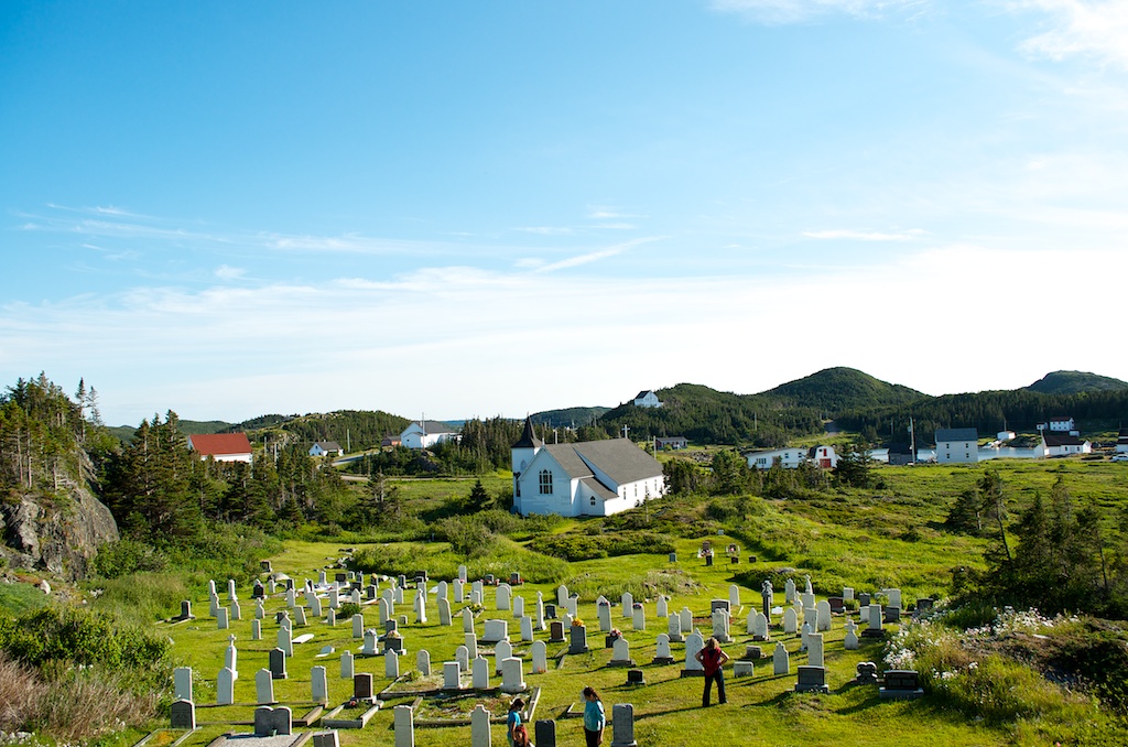
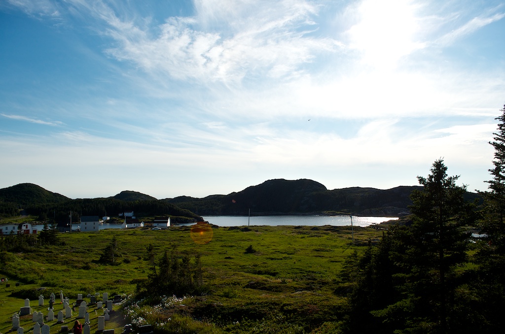
The area is so quiet and peaceful. If something big happened in the world we didn’t know about it, as we had no internet, didn’t turn on the tv/radio and no newspapers, it was kind of nice.