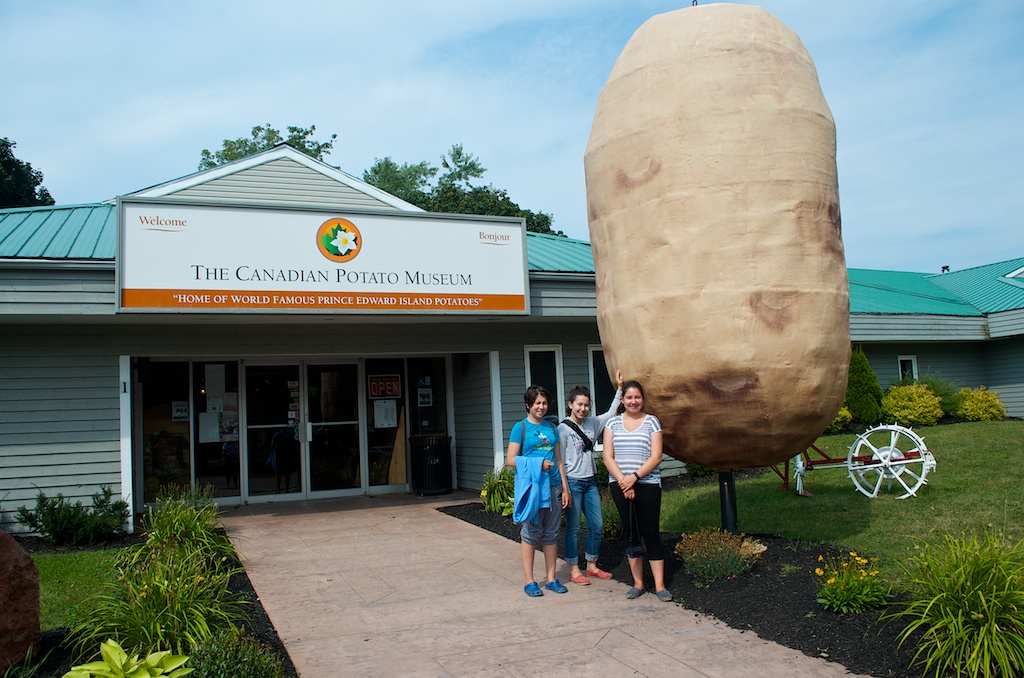
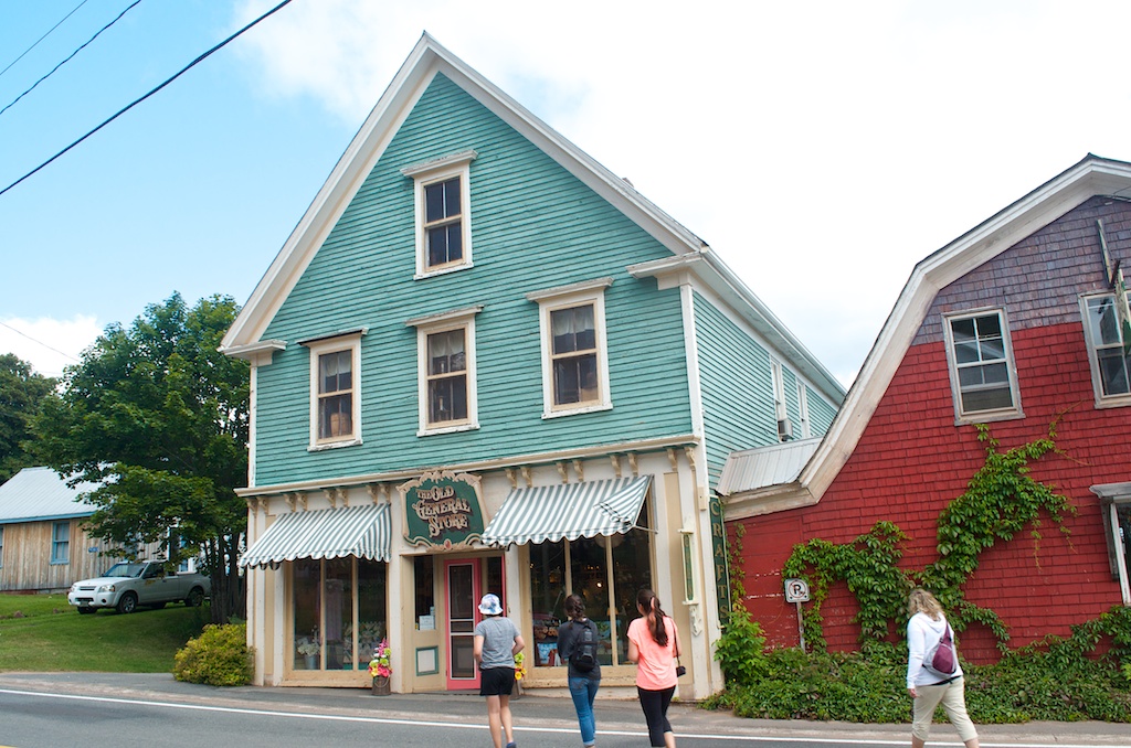
![]() On our penultimate day on Prince Edward Island, we wanted to see two more lighthouses to fill in our map. I’ll post that later. We stopped at The General Store in Murray River, the lady at the store told us about a beach and lighthouse close to where we were headed.
On our penultimate day on Prince Edward Island, we wanted to see two more lighthouses to fill in our map. I’ll post that later. We stopped at The General Store in Murray River, the lady at the store told us about a beach and lighthouse close to where we were headed.
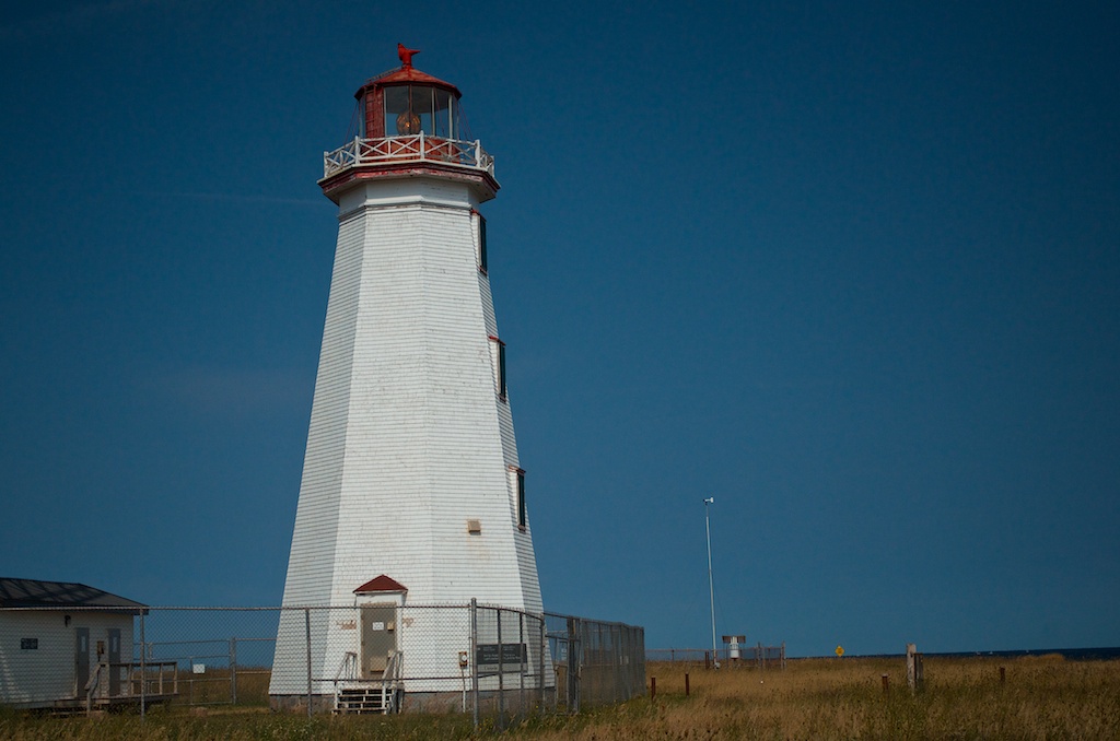
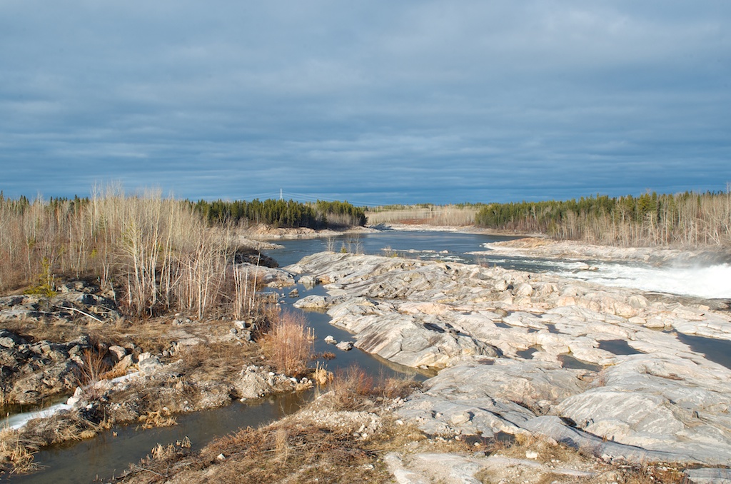
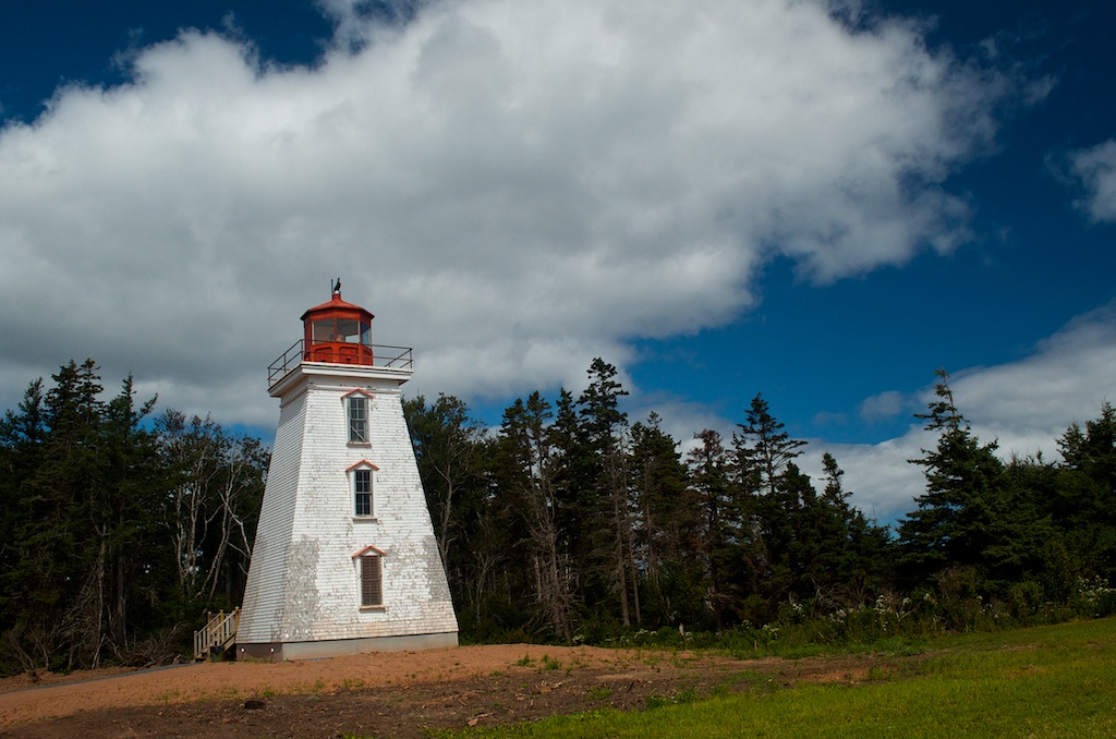
We arrived at Cape Bear, it is in the southeast part of the island. This lighthouse was built in 1881. It went electric and was de-staffed in 1960. It was decommissioned in 2011.
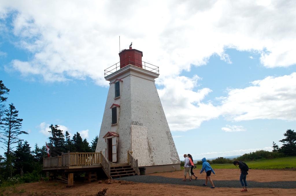
Cape Bear is open to the public. Unfortunately the Marconi museum wasn’t open. The first distress signal from the Titanic was received at Cape Bear.
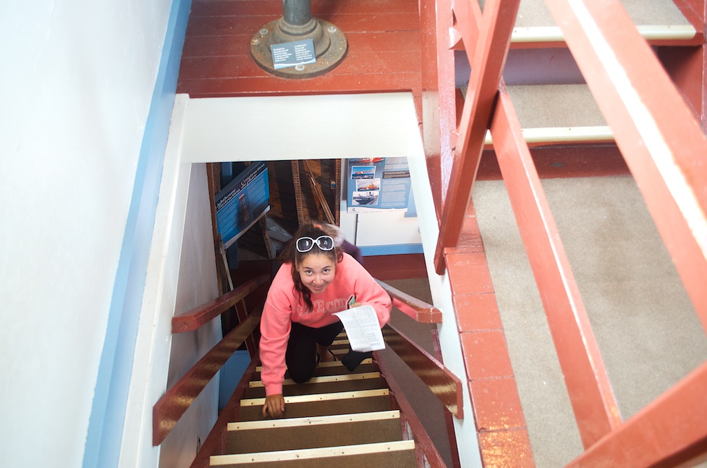
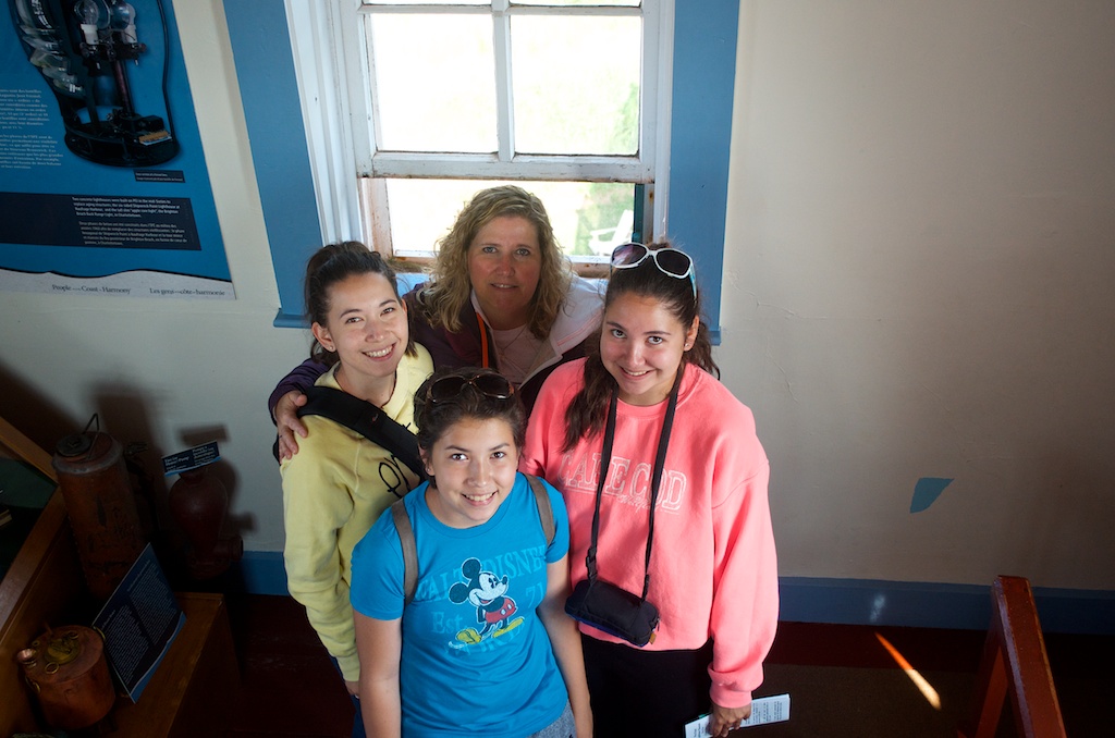
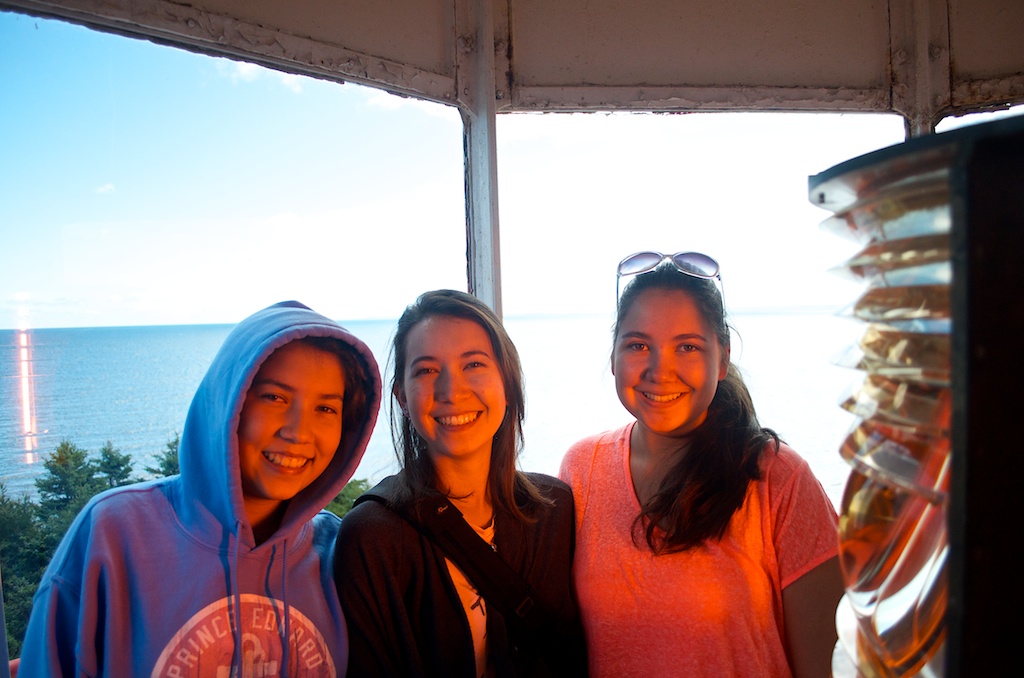
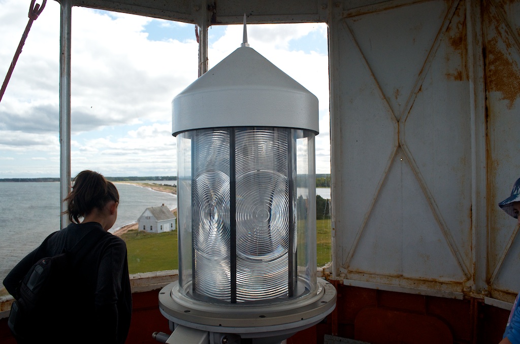
The girls in the glow of the light.
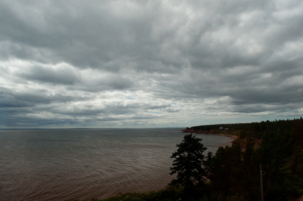
A view from the top, the clouds look a little ominous here, but it turned out to be a great day.
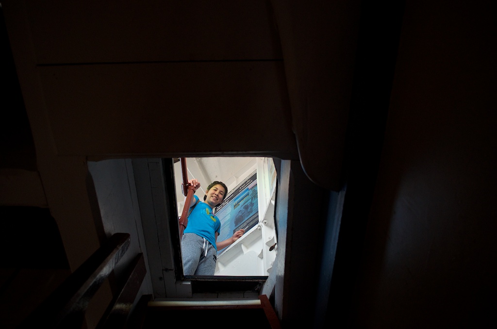
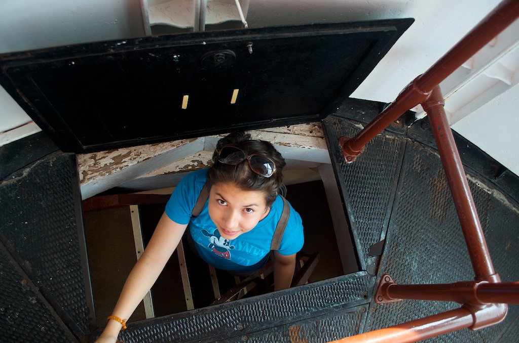
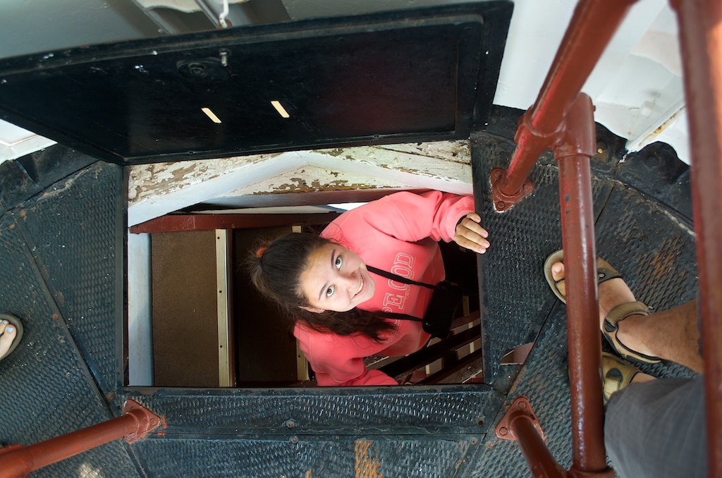
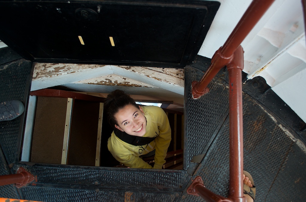
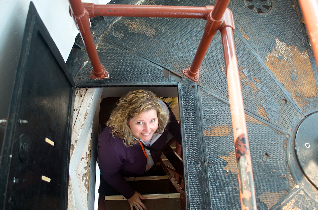
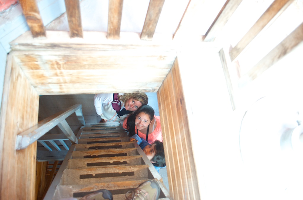
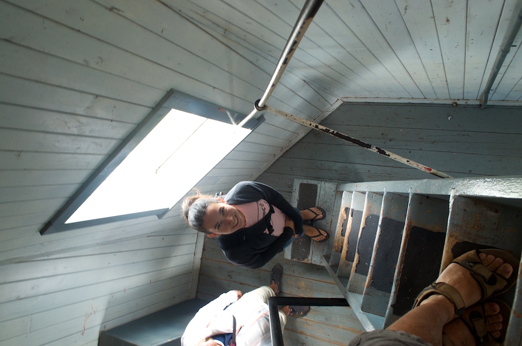
Coming back down the hatch.
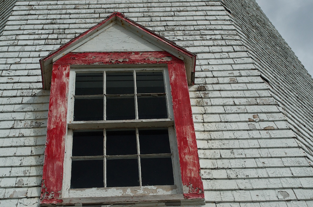
Even though all the lighthouses could use a coat of paint, the weathered look gives them character.
At the end of the cape.
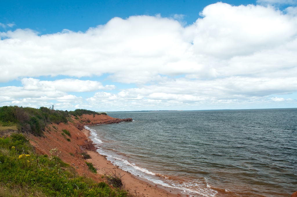
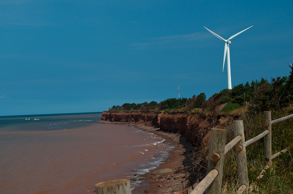
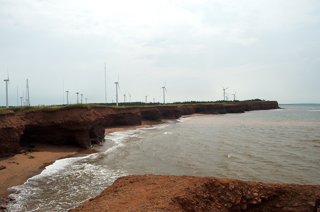
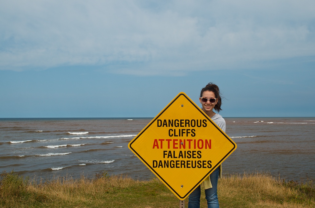
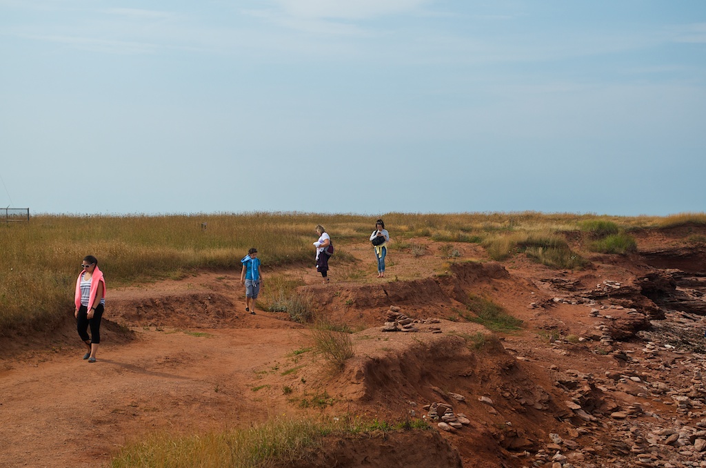
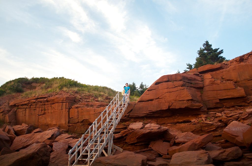
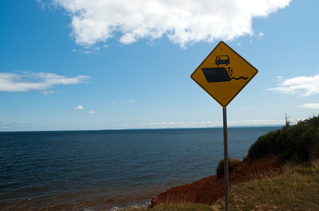
Avoiding the edge of cliffs with our car.
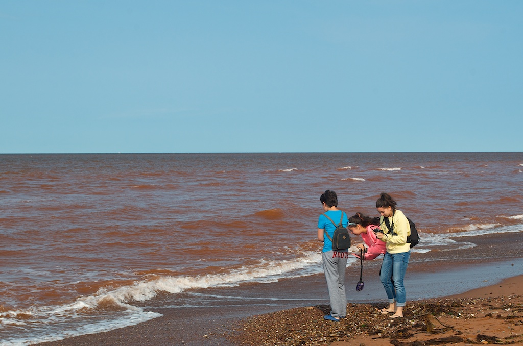
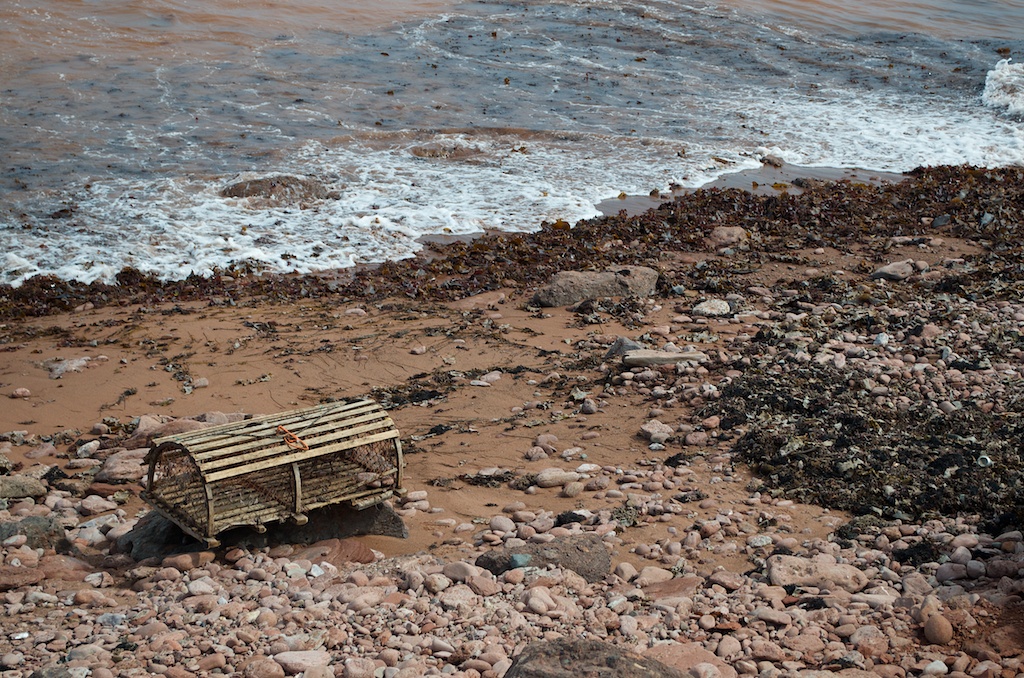
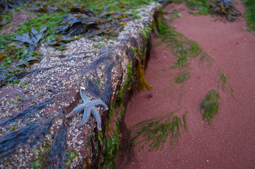
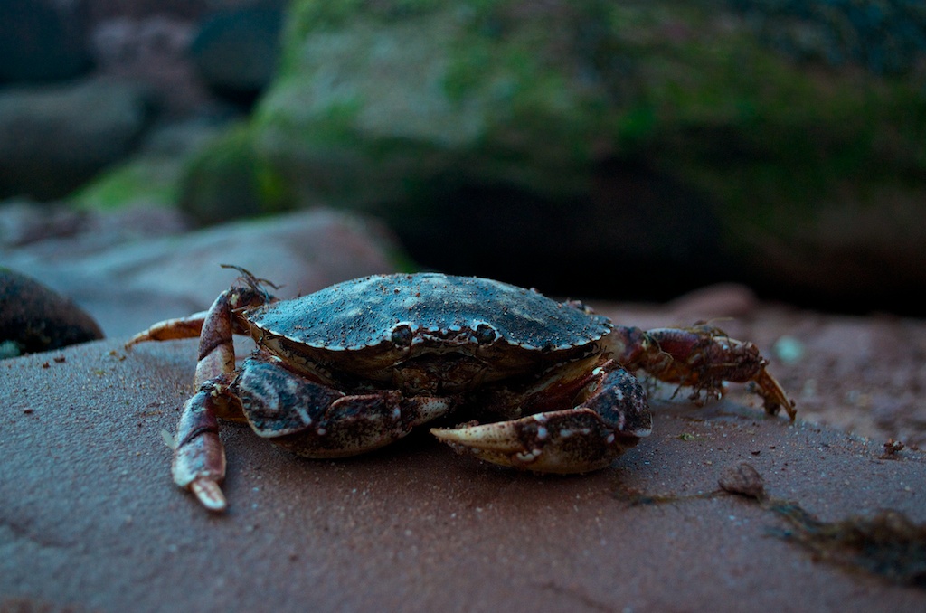
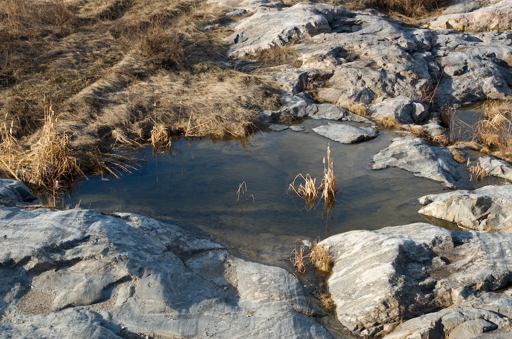
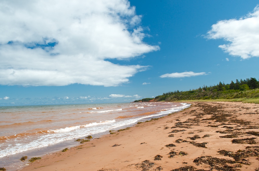
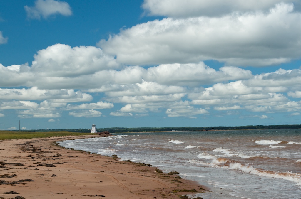
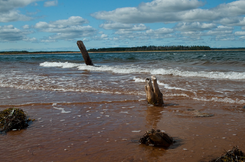
This the Beach Point beach.
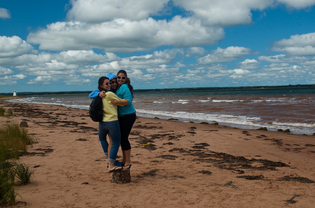
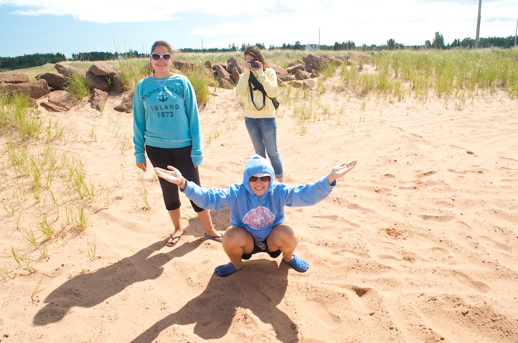
Sisters on a stump.
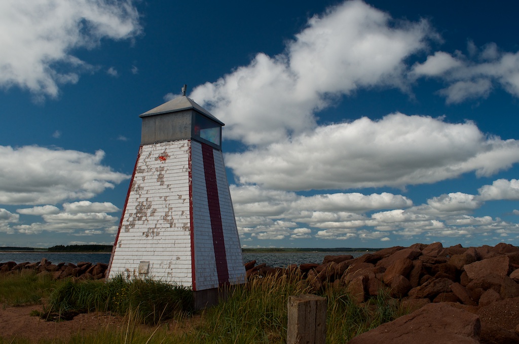
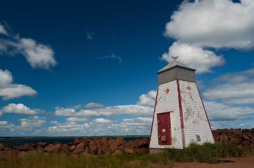
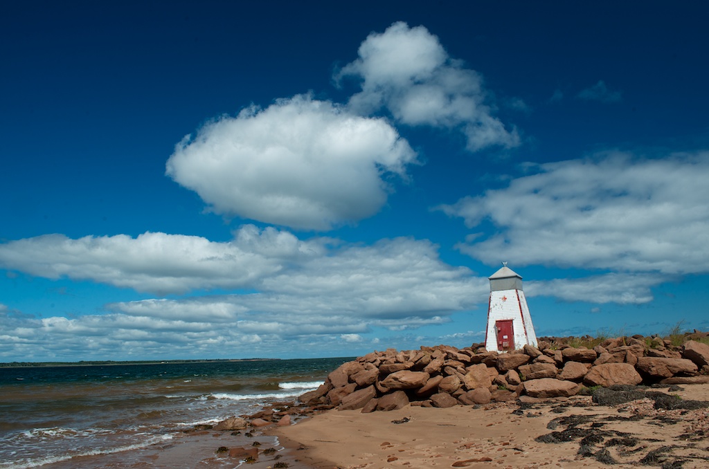
The Beach Point Front Range Light. It was built in 1878.
Claudia holding the lighthouse in Gillian’s photo.
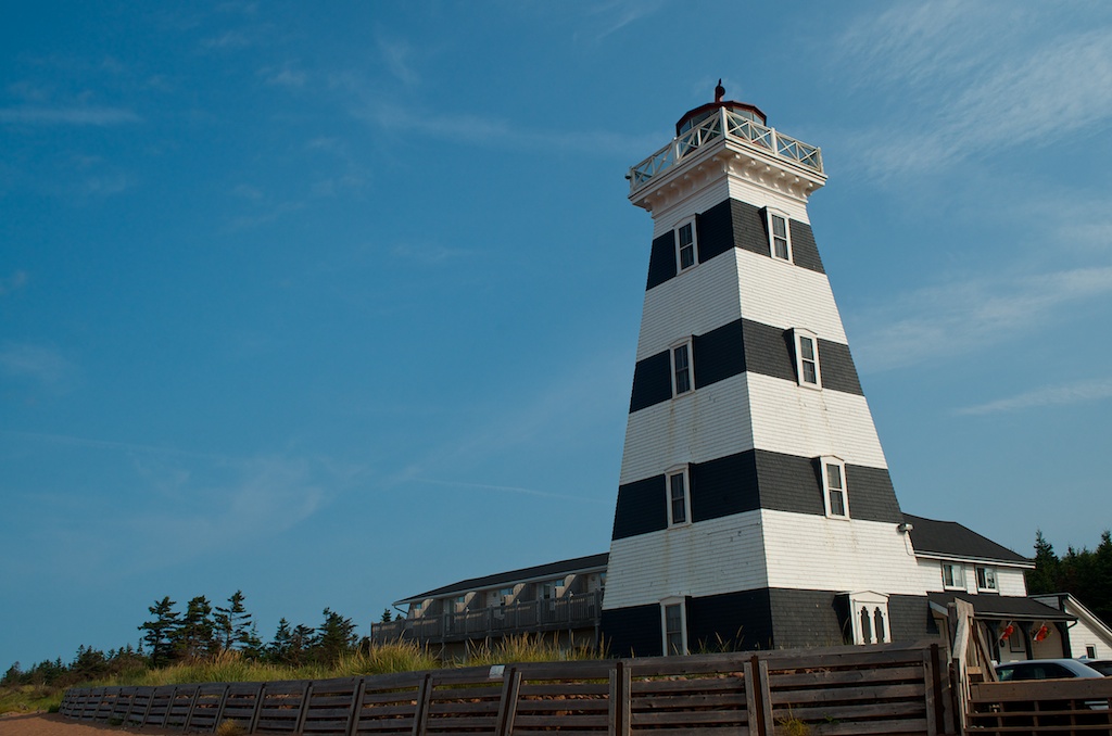
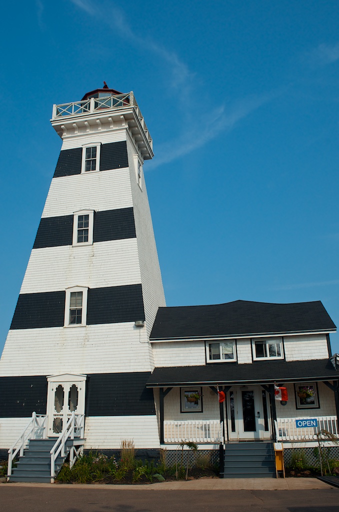
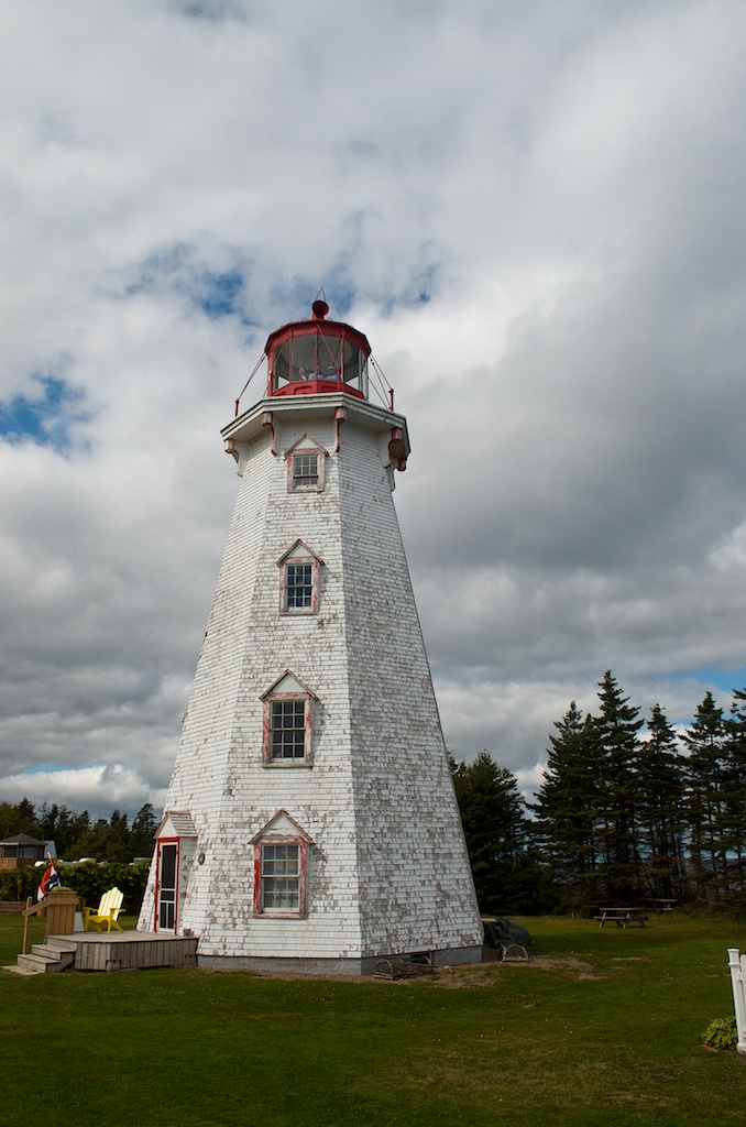
The next stop on our list was Panmure Head Lighthouse.
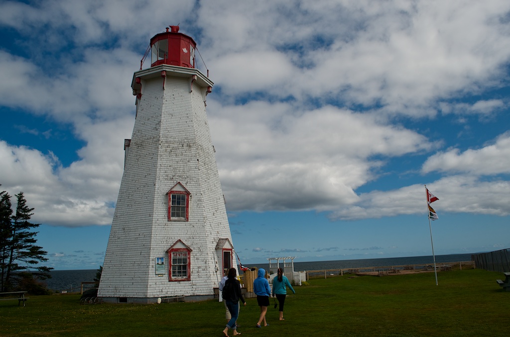
This one was open to the public as well.
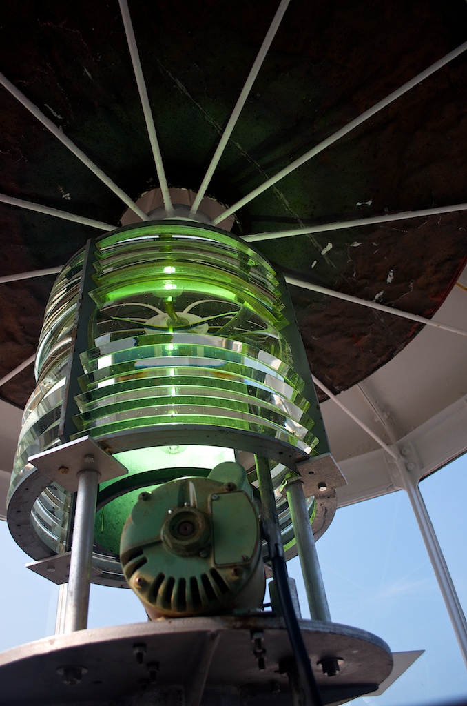
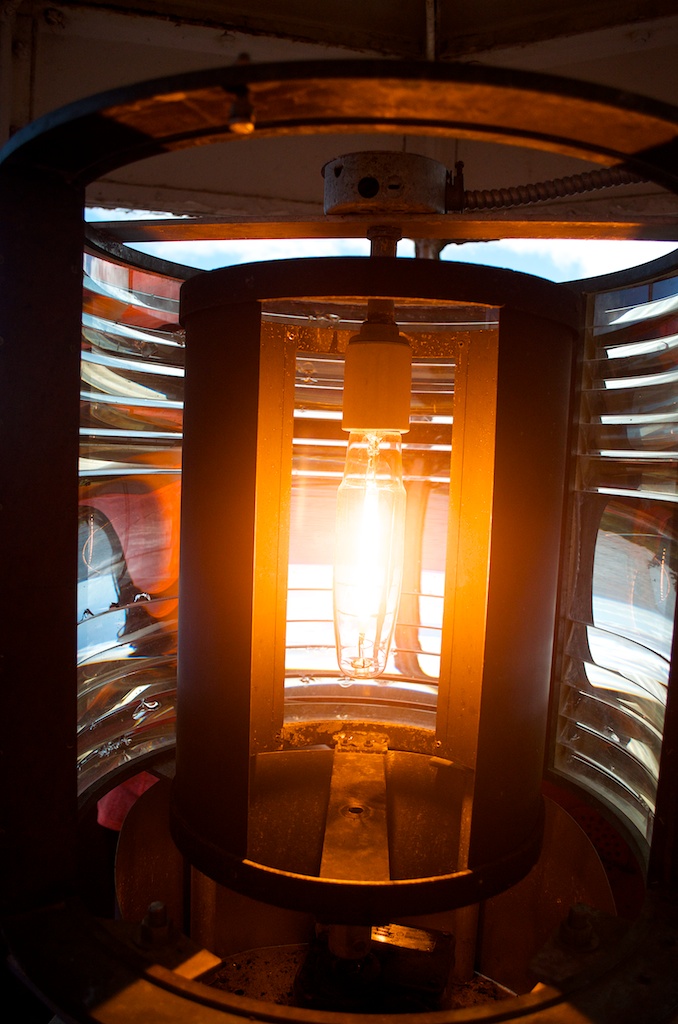
The light a top the lighthouse.
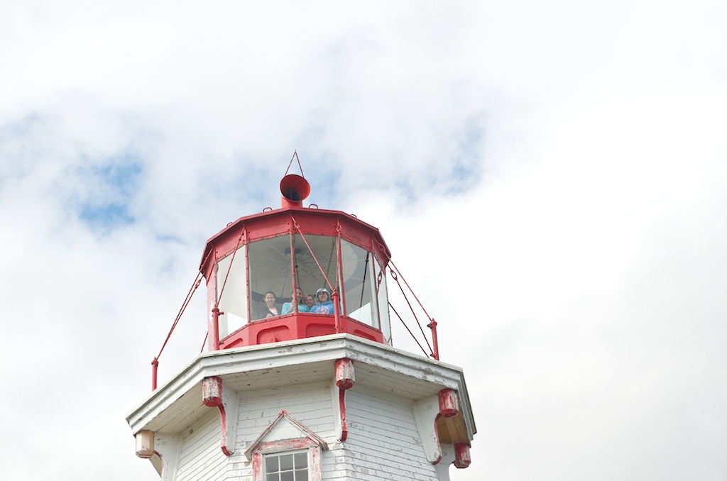
Everytime we went up a lighthouse, we said afterwards that I should have run down and taken a picture of them at the top. Finally on our last lighthouse I remembered.
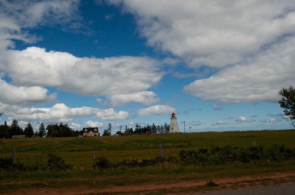
I took few pictures of this to get the horses in the foreground, in the end the best photo was this one with the wider view.
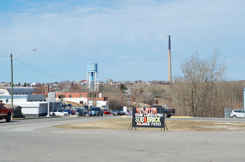
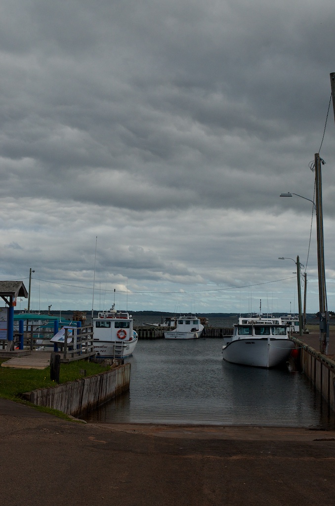
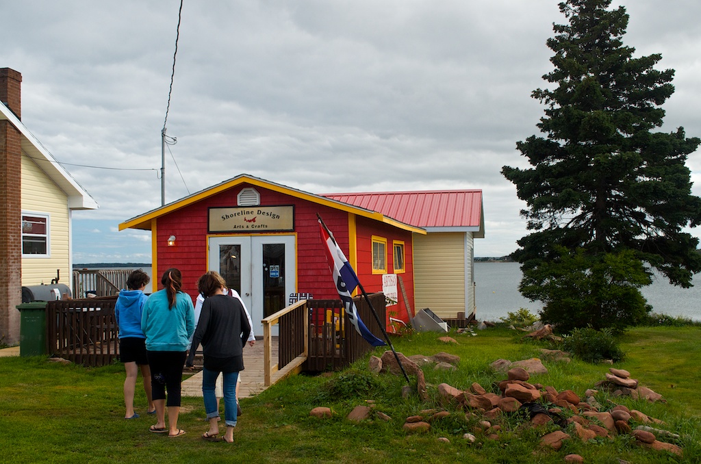
We headed into Georgetown for some Lupper or Linner.
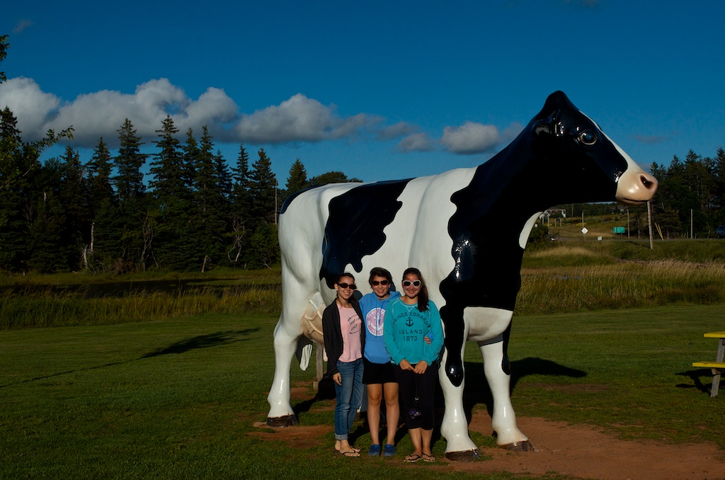
We finally stopped at the big cow at Cows. We waited for Gillian to come before taking a photo.
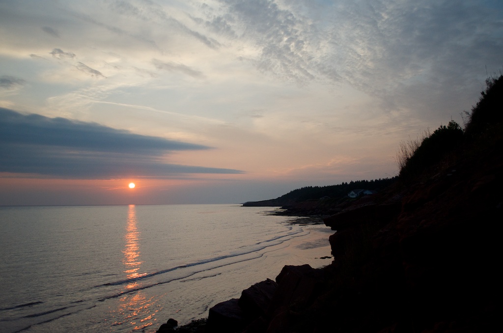
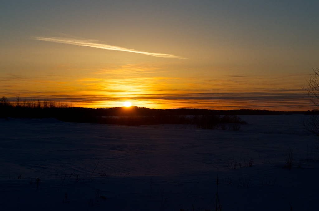
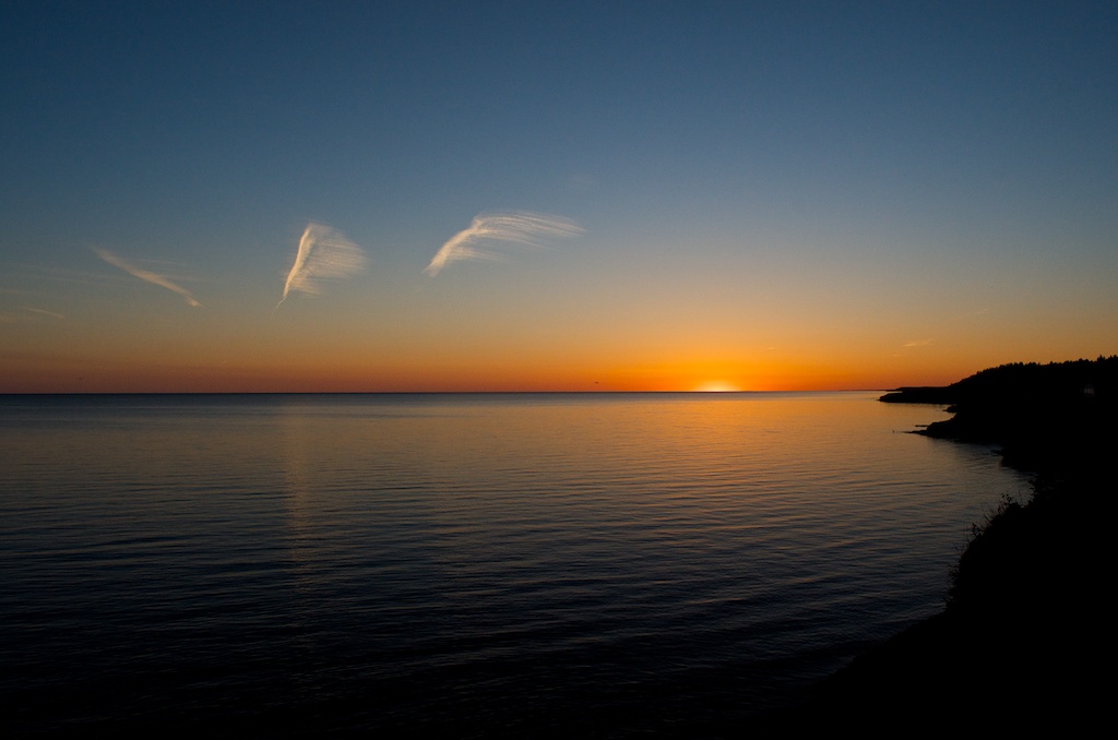
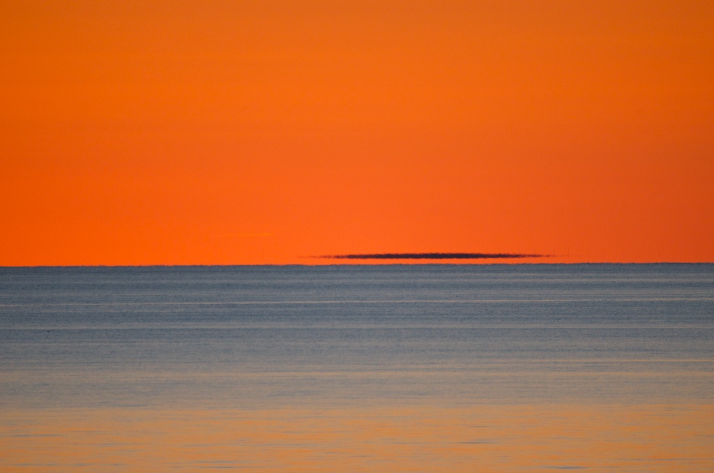
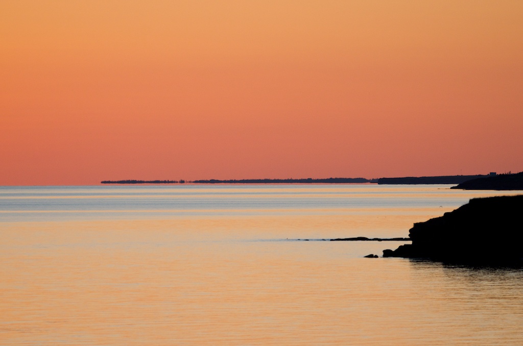
The last sunset,
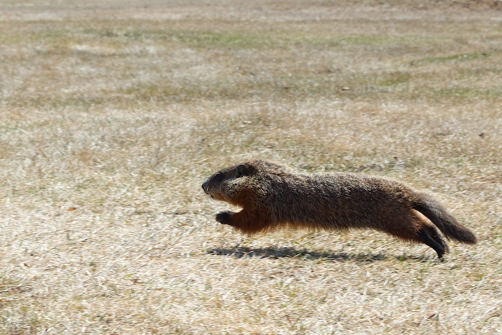
The heron.
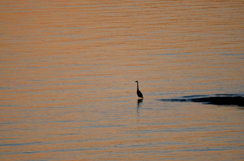
This was taken with the telephoto zoom lens, it looks like a painting.
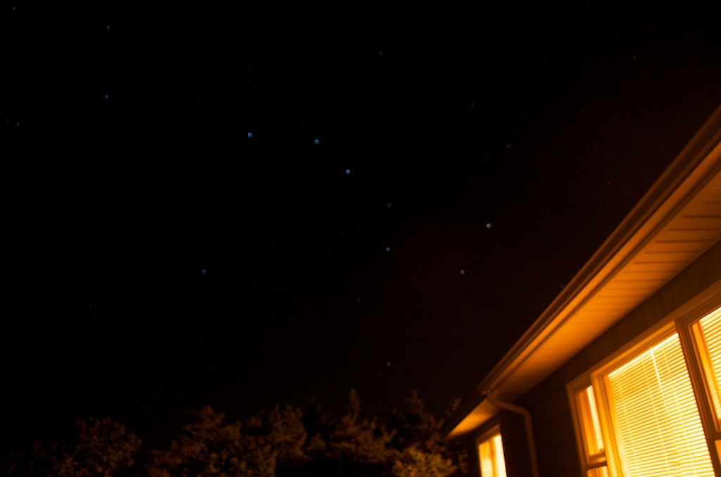
We had one last fire. The night sky was the clearest in two weeks. There were lots of stars out. If you look closely you can see the Big Dipper.