Tag: maps

Saturna Island

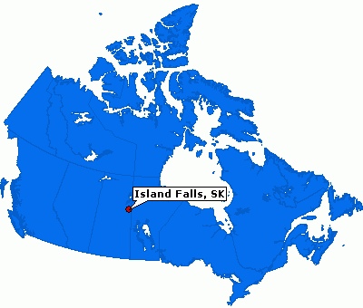
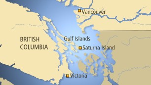
I spent the past week on Saturna Island. It is pretty quiet this time of year on the island. Not a lot of options available for food, so we have to buy groceries in Sidney before catching the ferry over to the island. My flights were good, our flight from Toronto to Vancouver arrived 17 minutes early, that has never happened before.

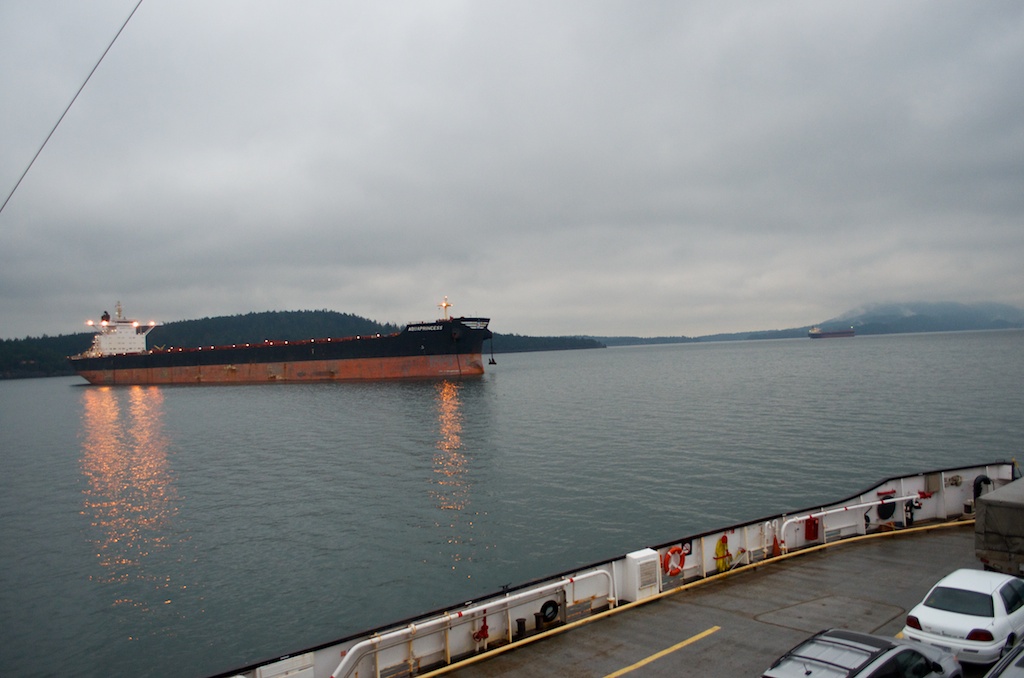
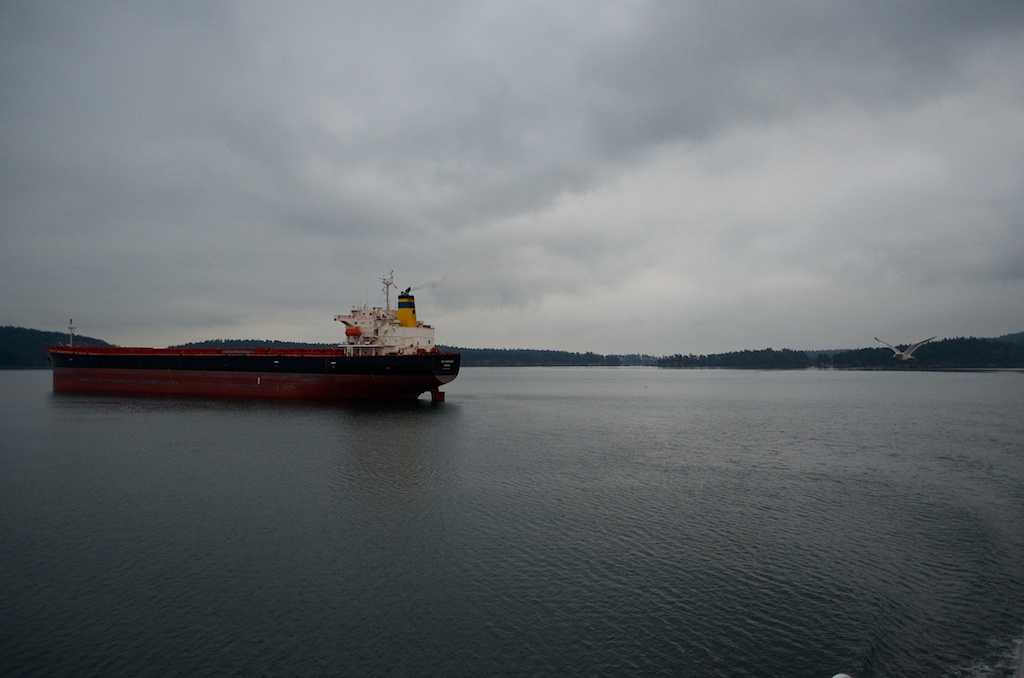
There was a backlog at the Superport on the mainland, so there were a lot of container ships sitting among the islands.

The weather for the week was forecasted for sun, but that changed with an inversion. It was snowing when we left the site the first night.

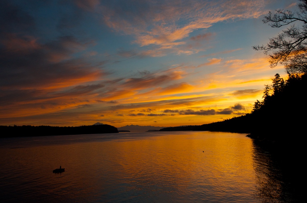
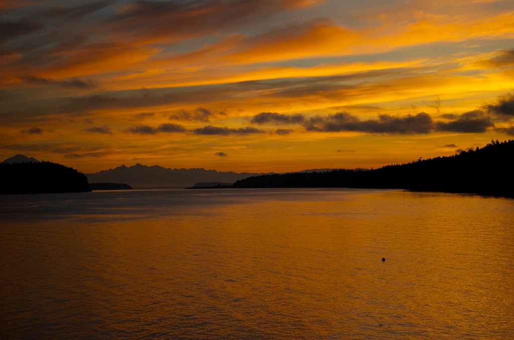
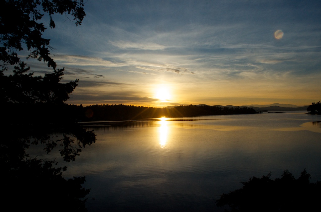
There was a bit of a sunrise on Wednesday morning.

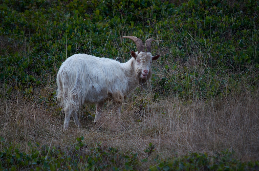
The feral goats are still around.

Thursday morning we started the day with a power failure, it was a planned shutdown to replace some of the poles, it was suppose to be back up by 9:00am. It did allow us to take in the sunrise at the B&B.

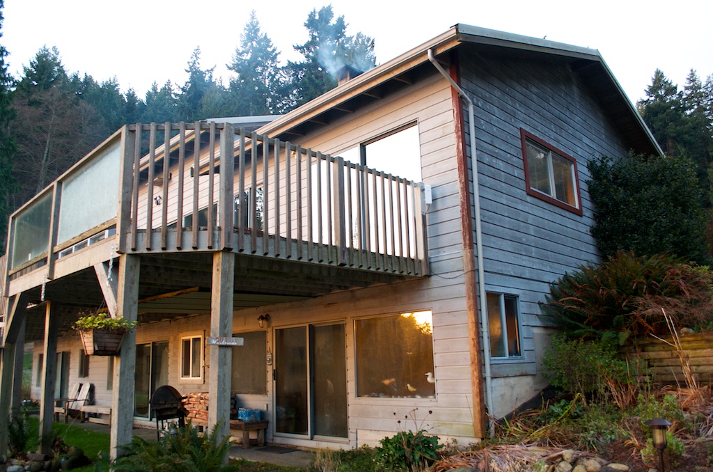
We stayed at Sandy Bay B&B.

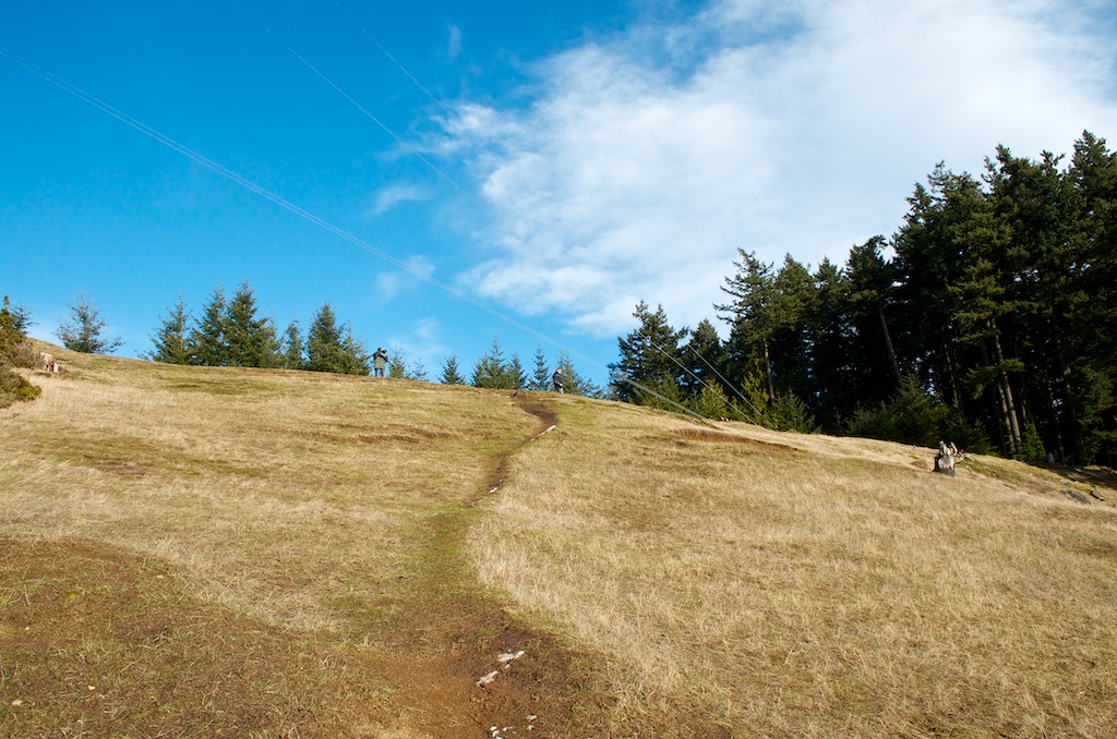
We had a good day of weather on Thursday and were able to go up to Mt Warburton Pike for lunch.

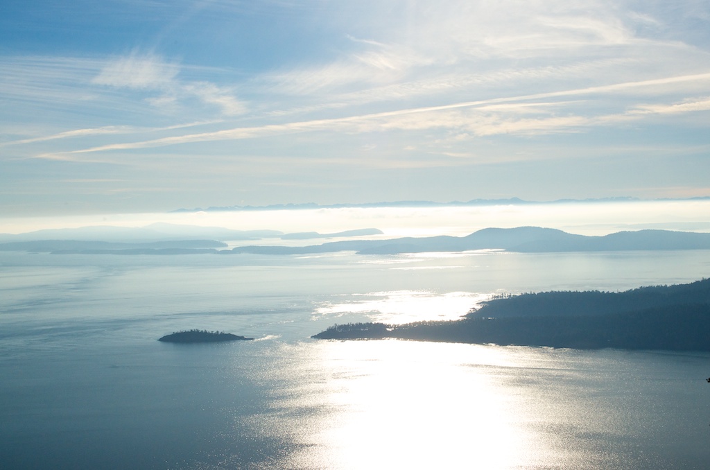
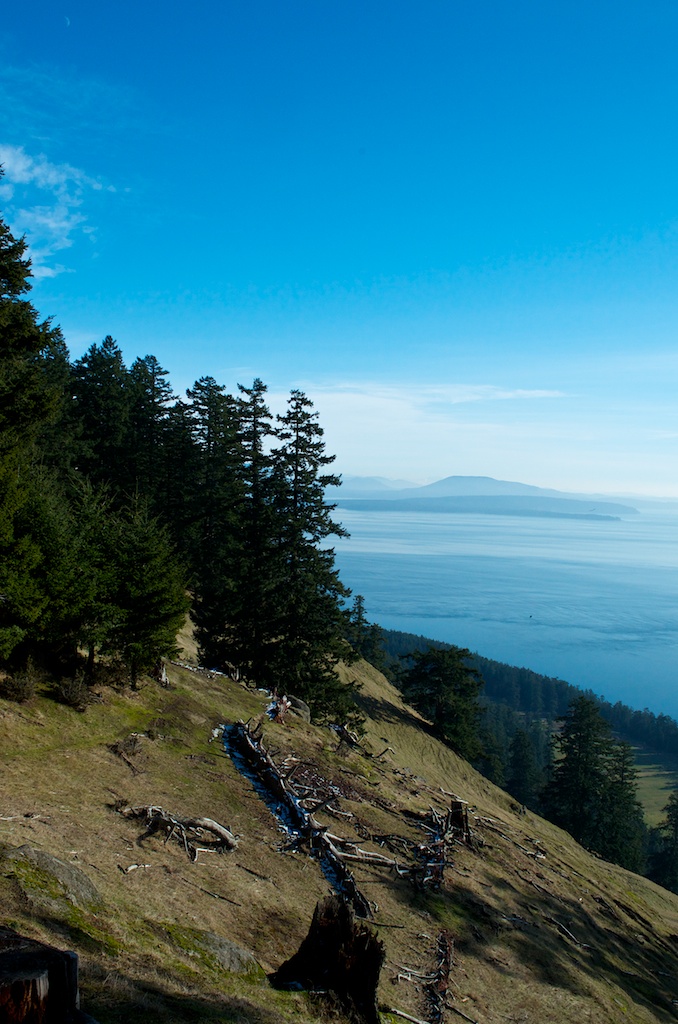
Looking over towards Pender Island.

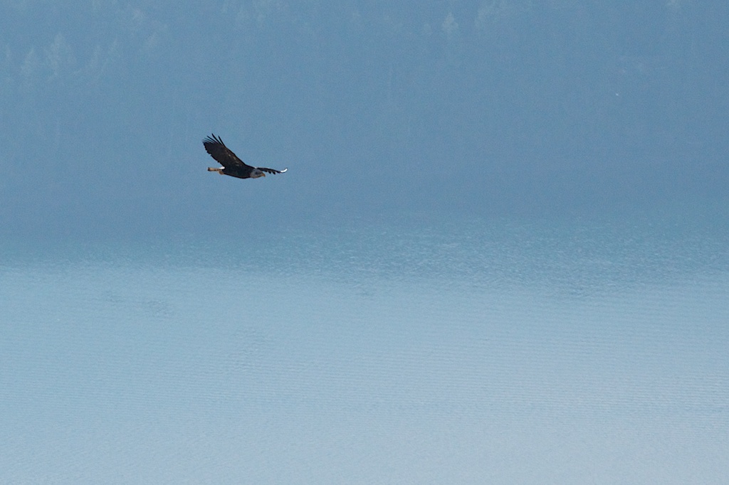
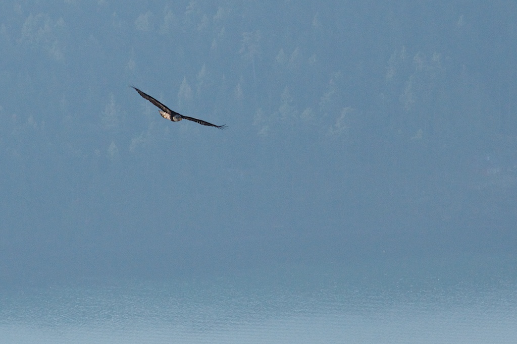
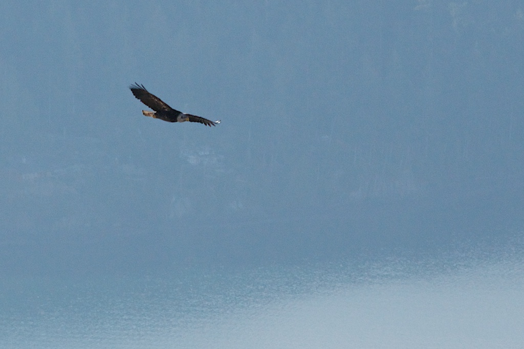
There were a couple of bald eagles.

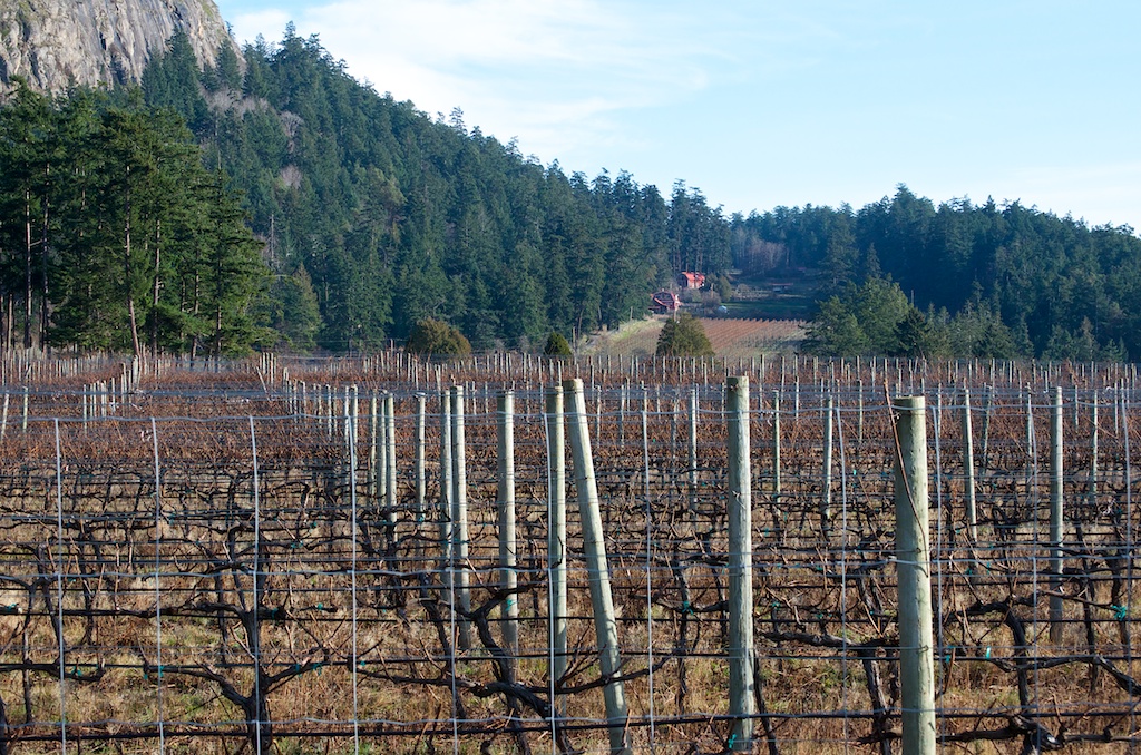
We took a drive down to the Saturna Island Winery.

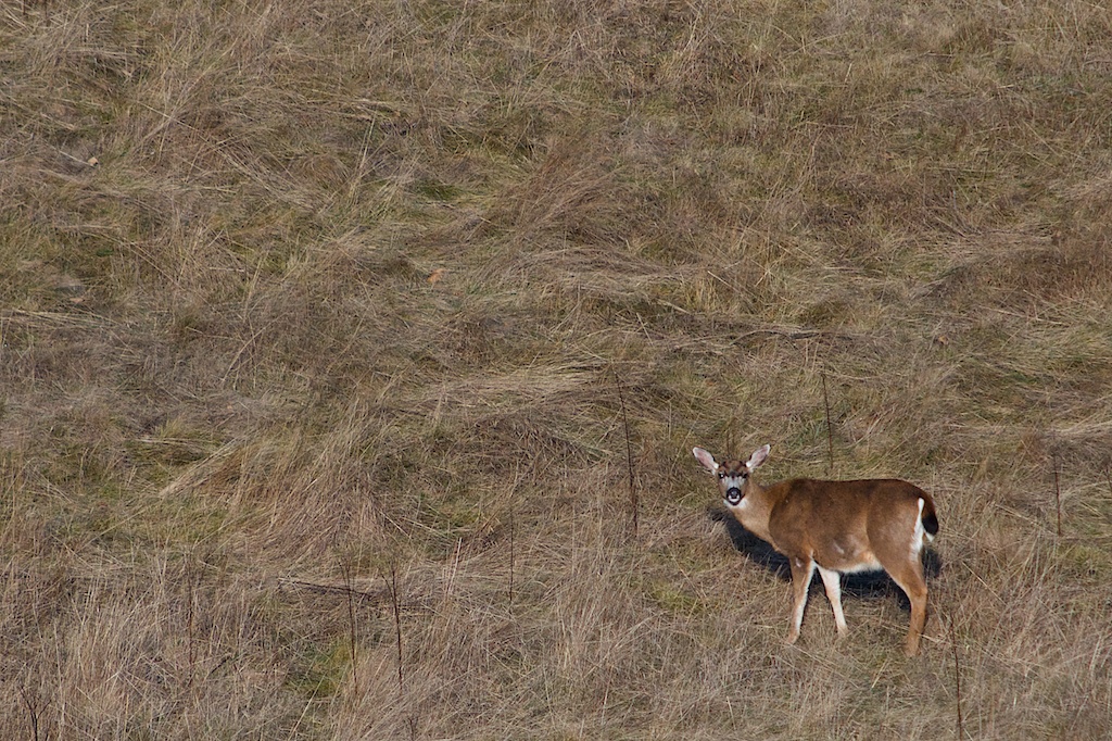
Back at the site the deer were out in the sun.

After work we headed out to Winter Cove. We did the trail out to boat pass (the middle of the photo).
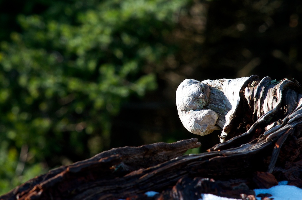
Along the trail.

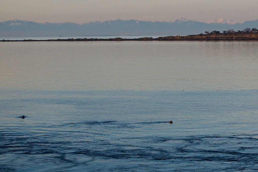
There were a few sea lions in the water.

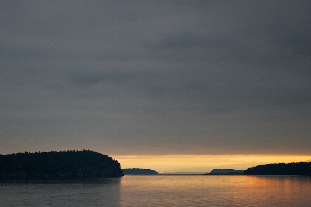
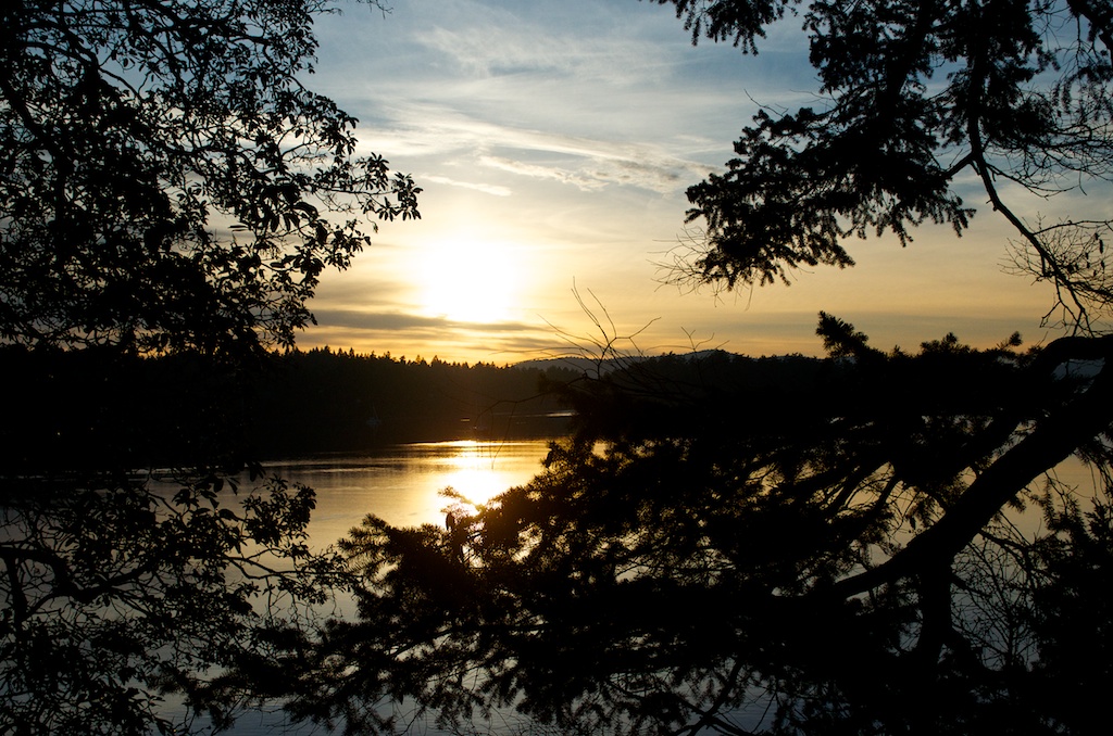
Catching the sunset over Winter Cove.
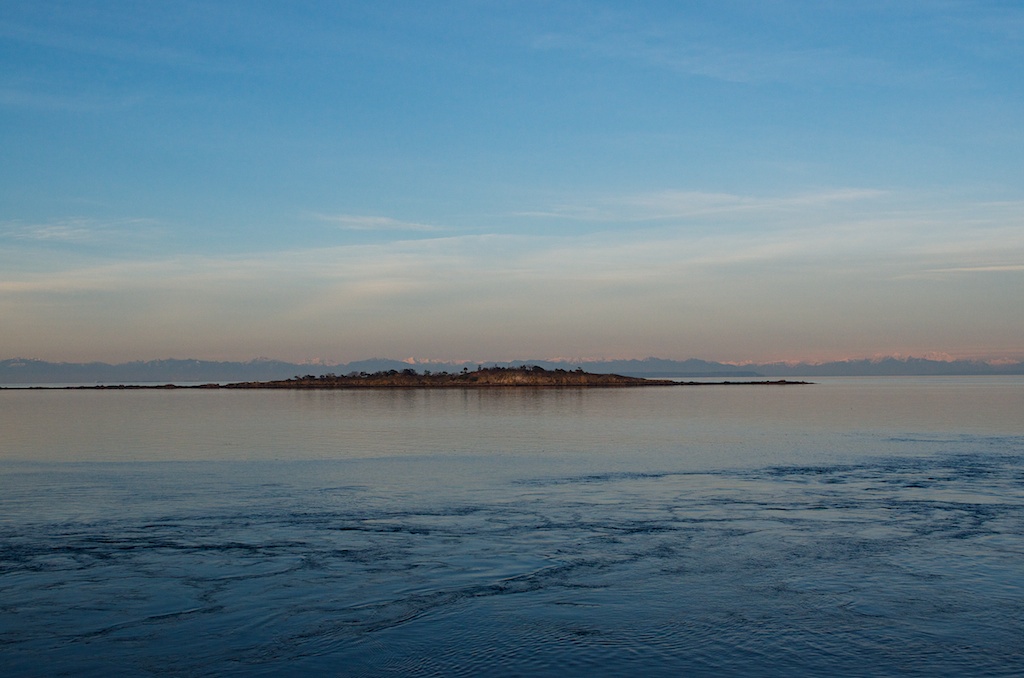
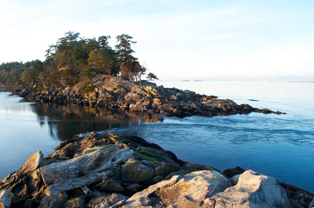
This is Boat Pass.

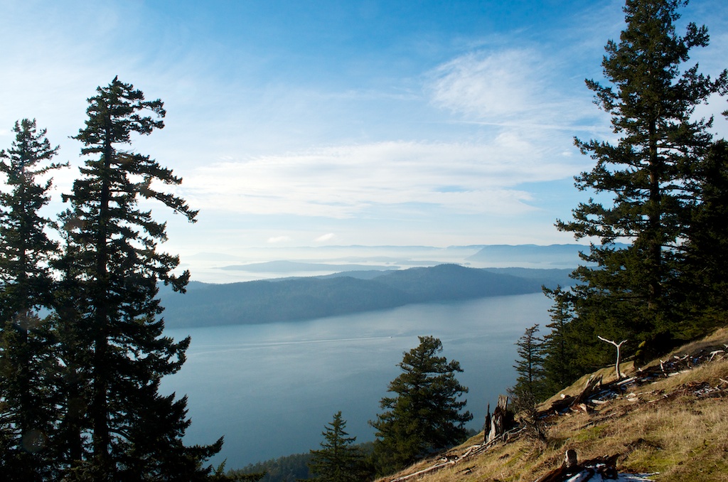
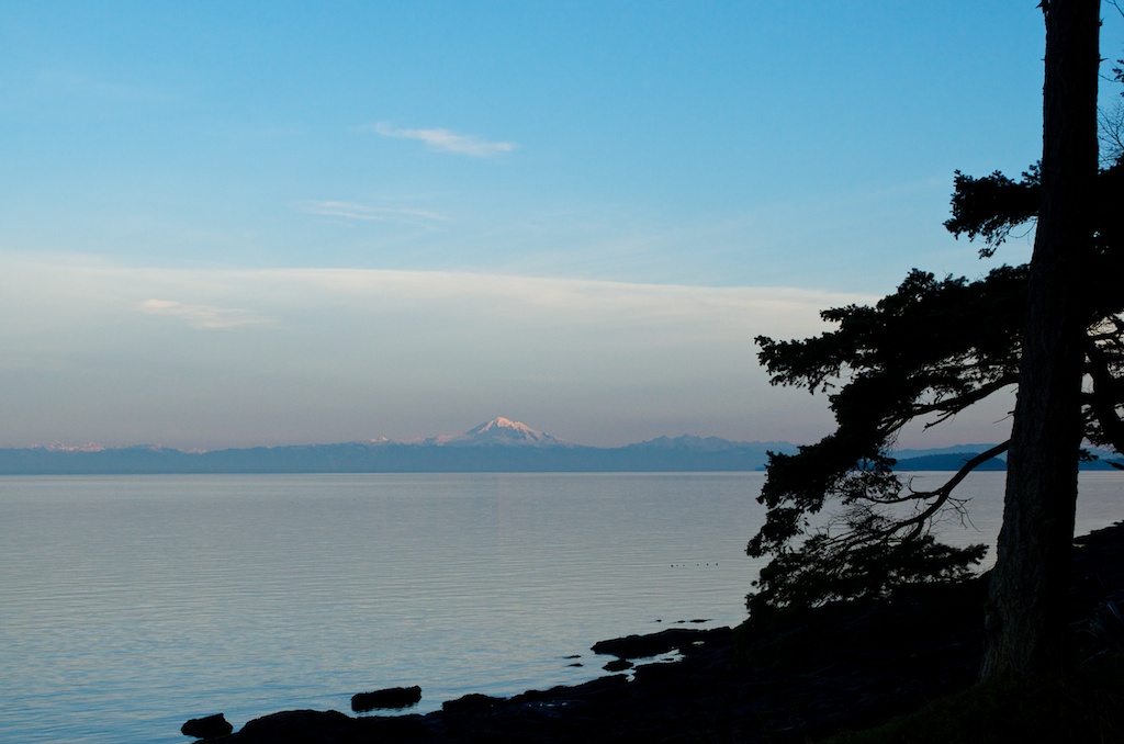
A view of Mt Baker in Washington state.

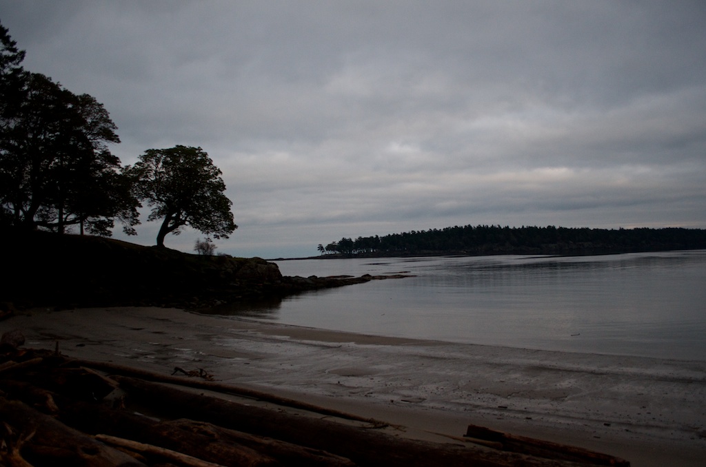
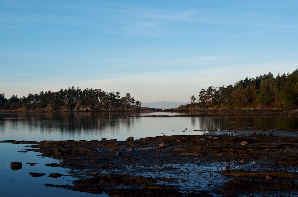
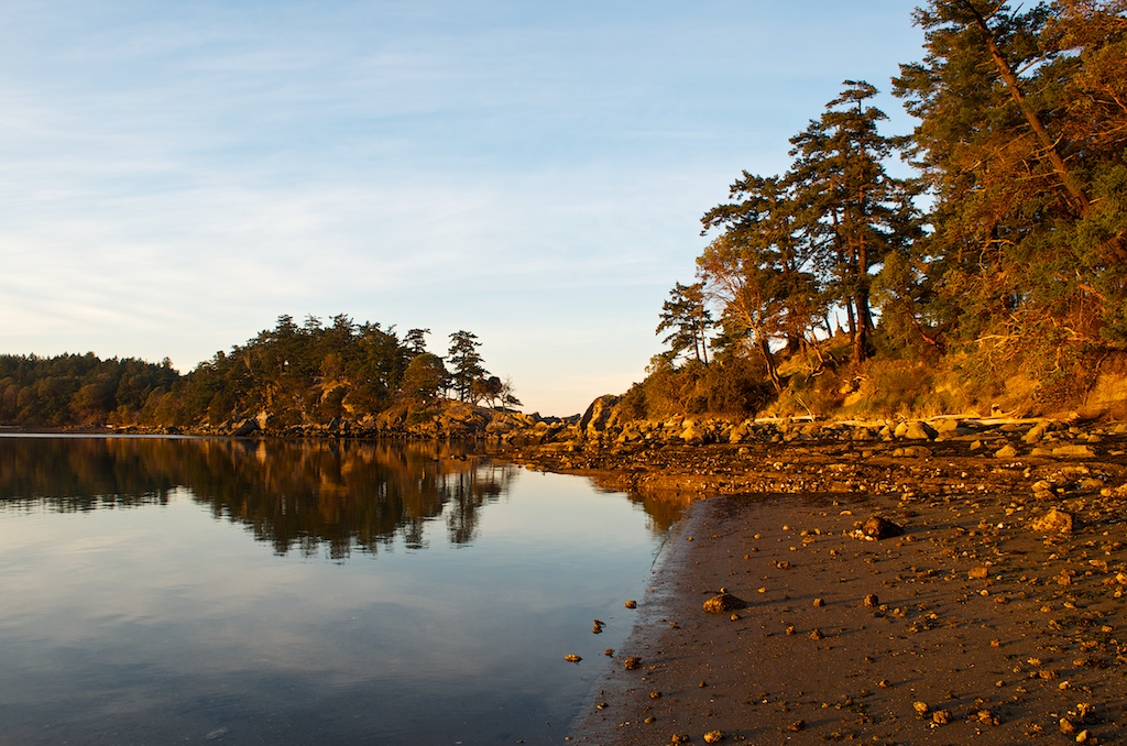
Along the beach in Winter Cove.

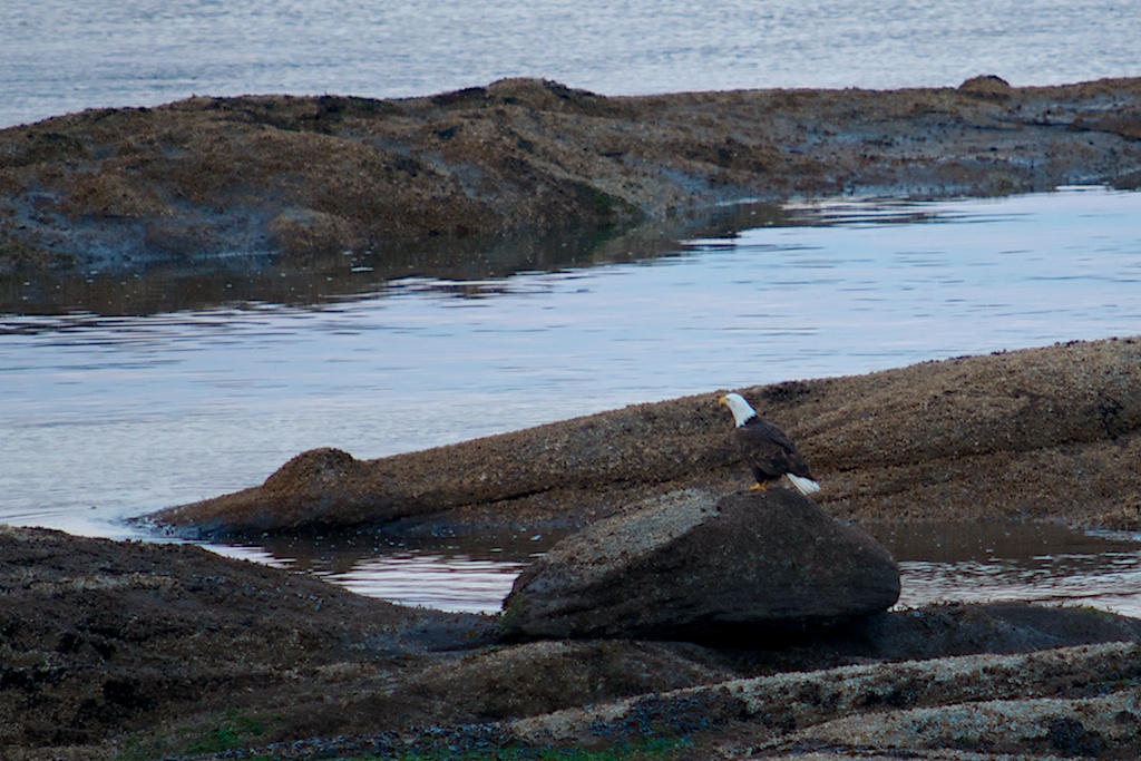
When we got back to the cottage, there was a bald eagle sitting on the shore rocks.

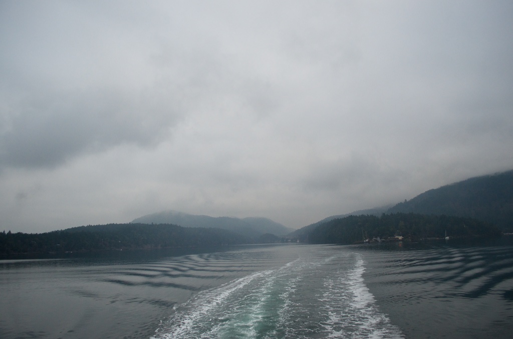
Our final day started off in cloud and fog.

The container ships were still sitting there.


A Week On The Rock: Part 2

I was back in Newfoundland this past week to upgrade one of our sites near Head of Bay D’Espoir-Milltown. It is about a 3 hour drive from Gander.

The weather for most of the week was overcast and light rain/mist. We arrived to find out that there would be no power at the site from 7:30am – 4:30pm everyday. The site is located on Newfoundland Labrador Hydro property and they were replacing some of the power lines in the area the site was. When I made the arrangements a few weeks ago to come, they forgot to mention this. They did arrange for us to borrow a generator, but still not ideal. In the end we were without power on Tuesday and Friday, and they cut the power further along on Wed/Thurs. This was the view from my motel room.

The Vancor Motel is the only accommodations in the area. It also has the only restaurant in town.

On Friday, the temperature dropped and the winds picked up, making for a more pleasant day with some blue skies.

There were even patches of sun.

Our site is located next to the dam. We are behind the fenced area and the sign that says “Danger, Keep Out, Access Beyond This Point May Result in Drowning”.

The side of the dam.

I saw this place when we had arrived in Gander, so when we came back we headed there for lunch. Inside there was a sign “Reduced Menu Available”, that didn’t mean the prices were cheaper, it meant there were only a couple of items on the menu available. It was an odd restaurant, it looked like they had converted from a fast food type to a sit down. When we paid, I noticed the date on the licence was Nov 30th, 2012. The place had been open less than a week. A google search indicates this use to be a KFC, while we were there a couple of people had come in looking for KFC. The lady that owns this and 10 other KFC restaurants in Newfoundland decided to not renew her KFC franchises and is converting them all to Oppy’s home cooking restaurants. Will have to see if these catch on.

As you can see in the picture there was snow in Gander, along with winds and ice. My flight was delayed leaving Gander by about 45 minutes, not good when I only had an hour for my connection in St John’s. I walked off the plane in St John’s and walked right on the plane to Halifax-Toronto. This should be it for traveling until the new year.


Nova Scotia

Spent last week down at Kejimkujik National Park for the annual site audit. The weather was good for most of the week, the snow showed up Thursday night. It was my fourth trip to Kejimkujik this year.

Stayed in Liverpool this time instead of the usual Bridgewater.

I reached Air Canada Elite status with this trip. I have logged 35 flight segments and over 33,000 status miles since January 1, 2012. Next year I’ll have AC Lounge access and priority boarding. This cartoon is like the security line-ups at Pearson, upstairs lines are always packed, but the downstairs lines usually let you walk right up.


A Week On The Rock

I spent 6 days out in Newfoundland and Labrador the past week. This trip completed the missing piece to my 2012 Canada puzzle. In this calendar year I have visited all 10 provinces (and one territory) either through work or pleasure. I left Monday for Stephenville, NL via Halifax and Deer Lake.

I was resolving problems at our site in Stephenville on Tuesday morning and then it was a drive back to Deer Lake to meet up with one of our contractors who was identifying possible new sites to replace some of our existing ones. It rained all morning in Stephenville, but started to let up around noon. Do you think this company might have a little conflict of interest? What better way to boost the first part of their business name than delaying the second part of their business name.

Stephenville is the site of Earnest Harmon AFB which was run by the Americans from 1941 to 1966 when it closed. The airport is still operational, but there is no major airline that services it.

My drive back to Deer Lake turned out to be a sunny drive once I reached the Corner Brook area. This is Breakfast Mountain

Legend has it that Shellbird Island, at the base of the mountain is the location of treasure buried by pirates. It is watched over by “The Old Man”, whose features are clearly seen etched in the side of the cliff.

Heading into Deer Lake.

On Wednesday it was out to the Grand Falls-Windsor area to look at some new locations. This was north of Bishop’s Falls at the water treatment plant. The beaver dam had flooded the road.

Again we had great weather, but knowing we were headed to snow in Goose Bay.

Heading back to Deer Lake after a day touring central Newfoundland.

It was an early flight from Deer Lake to Goose Bay via Halifax and St John’s.

Landed around noon and got off the plane to 24 cm of snow on the ground.

Most of it fell as wet snow and was still clinging to the trees.

The temperatures were around -5 most of the day.

The bridge crossing the Churchill River, this the Trans Labrador Highway.

Looking across the valley towards the old Pinetree Radar site.

The Churchill River.

On Friday there was another 10 cm of snow, wasn’t sure if my flight would get out. Looking out my hotel room around noon.

I had a late flight which left 5 minutes early but arrived in St. John’s 30 minutes late, due to de-icing and the head winds.  I spent about 7 hours in St. John’s, before I had to be up and back at the airport for my flight to Halifax.

I arrived in Halifax to sunny skies. A plane going through de-icing. My flights were on time and I was home by 11:00 am on Saturday morning.


Fort Smith, NWT

After 10 years in this job, I have finally made it to the Northwest Territories. This past week I was in Fort Smith, NWT to locate a new monitoring site in Wood Buffalo National Park. Fort Smith sits on the border with Alberta and the National Park straddles the border with the majority of the park in Alberta. Our new site will be on the NWT side.

It was more of tramping through the bush marking trees that will be cleared for a new site.

In the existing clearing, the wood bison are frequent visitors as noted by their calling cards. The white stuff is snow.

This vehicle was along Highway 5, not sure what the story is behind it. It looks like it either hit a wood bison or a moose. The bison graze at the side of the road, but they don’t move that fast, so it’s hard to believe it was a bison that was hit.

We only saw four wood bison, but I think 3 and 4 were the same. The wood bison harvesting (hunting) had just finished the past weekend, so they may have been deeper in the bush.

Here is a close up of the wood bison as I drove past.

Not often you come across warning signs for buffalo.

Wood Buffalo is the largest National Park in Canada and has the world’s largest herd of free roaming Wood Bison. There are over 5000 in the park, along with about 5000 wolves to keep them in check.

It was looking like it was going to be a nice day when we were leaving, although a little chillier. I was flying Northwestern Air from Fort Smith to Edmonton.

My flight out of Edmonton to Toronto was late 30 minutes leaving Edmonton and then as we approached Toronto we must have circled about 4 times, resulting in us arriving 50 minutes behind schedule.


Portland, Maine

This past week I was down in Portland, Maine for meetings. This was the fall version of the meeting I went to in the spring in Portland, Oregon. I flew down Monday connecting through  Philadelphia. There is a direct flight from Toronto but it is on a small Beechcraft prop that holds about 12 passengers, opting for the regional jets was a much better choice.

Definitely ate too much while I was down there, even though the meeting hotel was out by the airport and not right downtown. The first night we had dinner at the Portland Lobster Company. I had the Downeast Feast which came with a 1 1/4 lb lobster, 6 steamer clams, corn on the cob, seafood chowder, fries and cole slaw all for $27.

When you order, they give you a lobster with a number on it, when your order is up it starts flashing and vibrating.

The next night it was back downtown to J’s Oyster Bar. The oysters (from Chesapeake Bay) were cheap, 1 dozen for $12.50, we had three orders at our table. I had a cup of their Lobster Stew which was amazing and then the Seafood Bouillabaisse which was packed with seafood.

Of course with all this food we needed something to wash it down with, there is no shortage of local microbrew pubs like Sebago, Sea Dog Brew House and Gritty McDuff’s.

The final night we had dinner at Gilbert’s Chowder House on Commercial Street. This time I had the seafood chowder and the Fried Maine Whole Belly Clams in crumbs. All of these restaurants are not very large and wait times could be long depending on the time and size of your party.

Finished off with some ice cream at Captain Sam’s homemade ice cream. It had just opened and as we walked past there was a guy standing outside eating ice cream, one of the guys in our group asked him how it was and he said it was amazing and he was going back in for more. After walking a bit we decided we had to go back and try it. I had Kentucky Derby ice cream which had bourbon, almonds and chocolate pieces. The portions were huge and it came with a wooded spoon, not a flat ice cream spoon, but a wooded shaped spoon.

(all photos were downloaded from the internet.)


Four Provinces in Four Days

This week found me in northern Saskatchewan again, only this time I’m on the east side in Island Falls. We are up here to finalize the installation of our first Oil Sands Monitoring Site. Since Thursday I have been in Nova Scotia, Ontario, Manitoba, and Saskatchewan.

The route to Island Falls is through Winnipeg, then a flight to Flin Flon, follwed by a 2.5 hour drive, the last 100 km on packed gravel. The copper smelter in Flin Flon was shut down in 2010, the mining is still going on with an ore concentrator and zinc production facility.

20120921-140600.jpg

The road up to Island Falls.

The last of the sun for today.


Where we’ve been

See the provinces and states we have been to on the Where we’ve been page.


Day 20: Heading Home

After 19 days on the road we were heading home, here are the girls watching movies on their iPods.

Our drive today took us up through New Hampshire, across Vermont, into New York State and back into Ontario. This is somewhere on Lake Champlain.

Near Rouse’s Point, NY.

Welcome to New York.

We could see the border, but we were not going through Montreal, instead we crossed at Ogdensburg, NY which leads to Johnstown, ON. It spits you out onto the 401 near the 416 highway to Ottawa.

One final stop at the Big Apple in Colborne, ON.

Unfortunately, all their porducts are labelled “May contain…”.

The main reason for stopping was to add another photo to our “Big Things” collection.

This has to be one of the few things that is still free. You can climb up inside the apple to an observation deck, to see the 401.

One last goofy photo.

When we pulled into G-ma and G-pa’s driveway, Chloe was excited to see us back, here she is running back and forth to each of us.

Here are the girls on day 3 of our trip, the photo I took on day 1 was blurry, so we had to do a re-take.

Here is the back of the car after we pulled into our driveway. Since we stopped to pick up Chloe on our way home, we had to squeeze all her stuff in the car as well, so even if the girls were in the back seat, there was no way we’d see them.

Our drive today, we left Manchester, NH at 7:18 am, crossed the border at 2:39 pm and pulled into G-ma and G-pa’s driveway at 6:00 pm. We had a great supper and visit before loading up one more time for the final leg. I’ll post the trip summary once I crunch some of the numbers. Thanks for following along on our road trip to PEI, hope you enjoyed it as much as we did.


Day 18: Old Orchard Beach

Day 18 was a short driving day from Freeport, Maine to Manchester, New Hampshire. It allowed us to stop at one more beach for this vacation. We headed for Old Orchard Beach near Scarborough, ME. We got there around 9:30 am and it was already filling up.

Still lots of real estate to choose from.

We chose the strip of beach that is right in the heart of town near the pier.

There is an amusement park on the beach.

Claudia getting use to the water.

The girls jumping the waves.

A guy looking for treasures.

Digging around on the beach.

Back in the water.

The girls catching a wave.

Claudia could catch the odd wave that she could ride pretty far.

The sand around us was filling up.

It was packed when we left.

It is a pretty hopping town, probably jammed on the weekends.

Our driving route for Day 18. $3.75 in tolls on the Maine Turnpike.

Off to the ballpark to watch the New Hampshire Fisher Cats take on the New Britain Rock Cats.