Tag: wildlife

Day 5: Marconi Beach

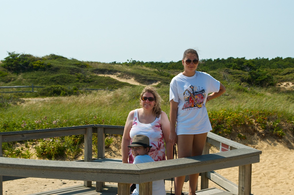
Today was a beach day. This is what the girls wanted to do for vacation, beaches, didn’t matter where, just beaches. We headed to Marconi Beach which is part of the Cape Cod National Seashore.

20140731_D7K_3743

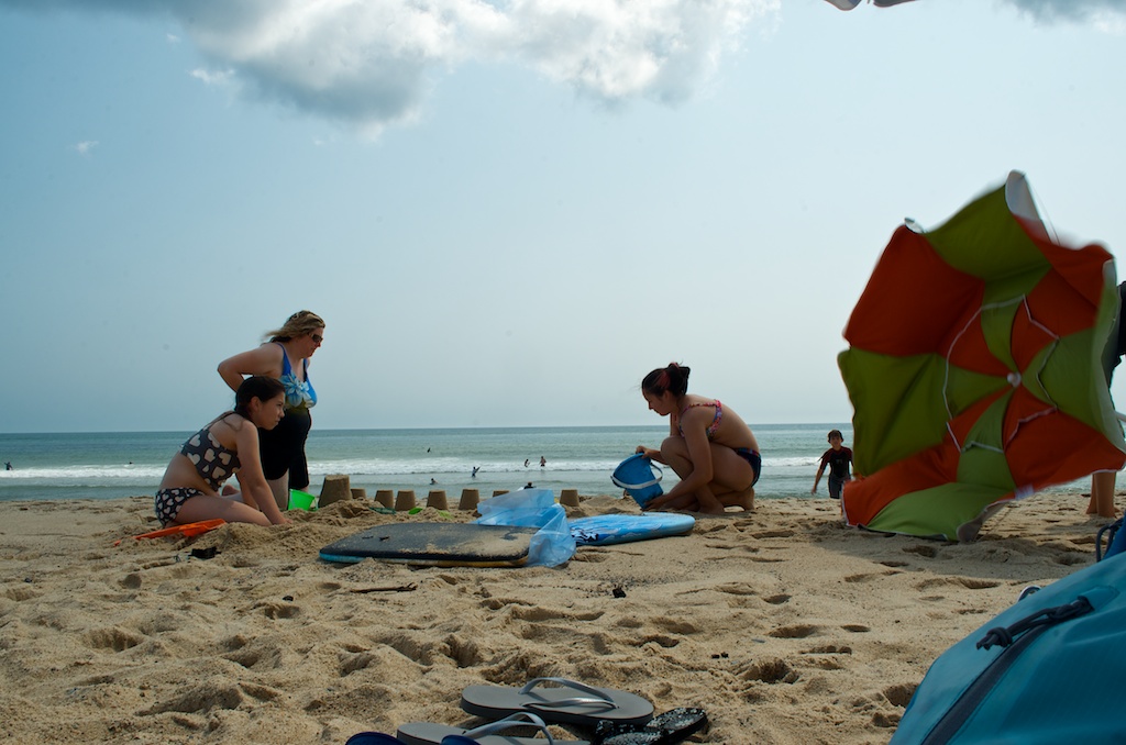
As you can see it was a little windy. A neighbour’s umbrella getting away.

20140731_D7K_3744

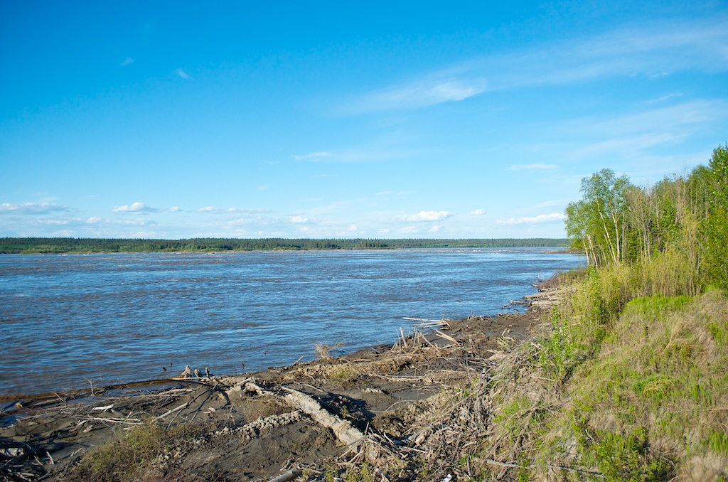
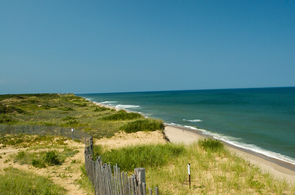
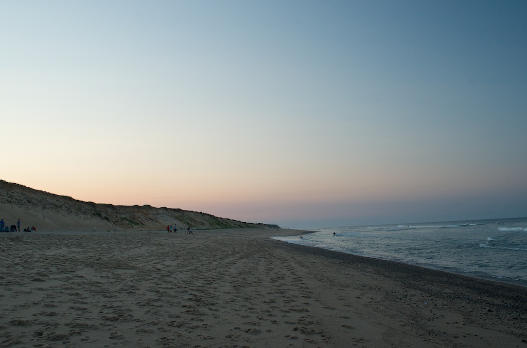
Marconi Beach is on the Atlantic Ocean side of the Cape.

20140731_D7K_3748

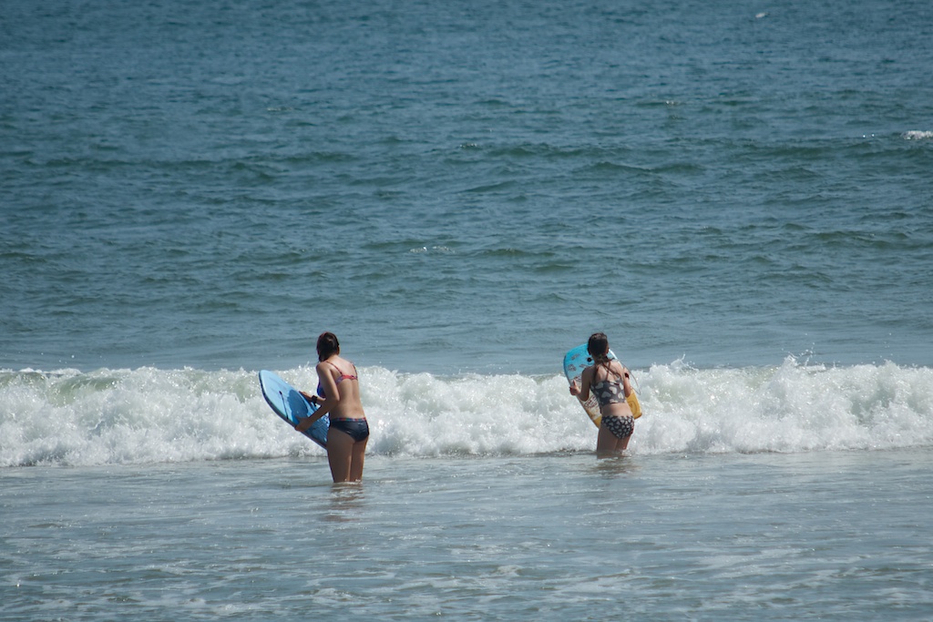
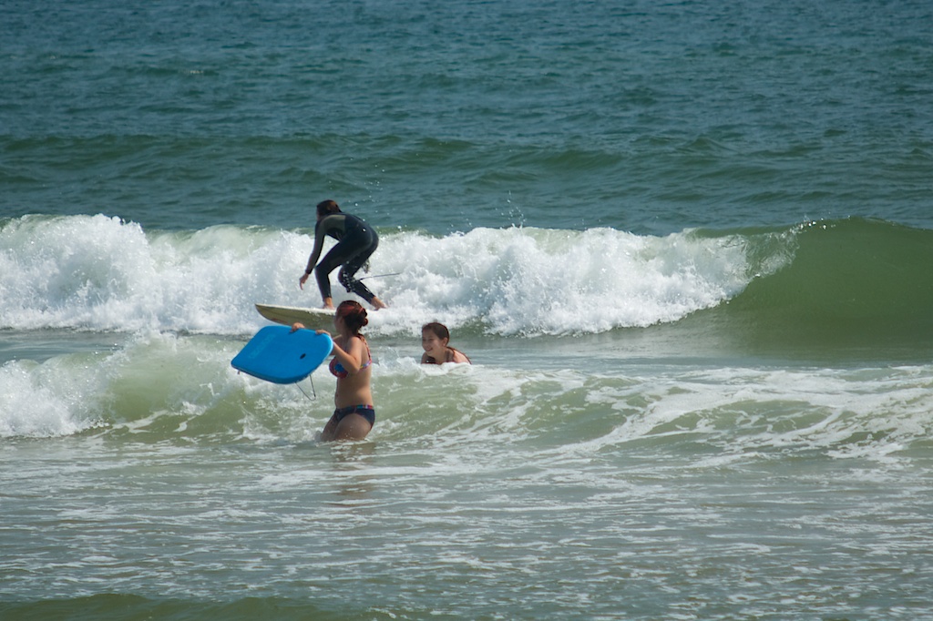
The water was cold, as you can tell by the surfer’s wetsuit. Of course Claudia was right in there.

20140731_D7K_3749

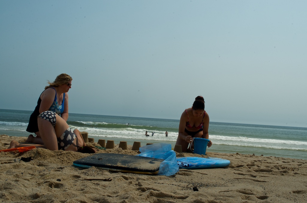
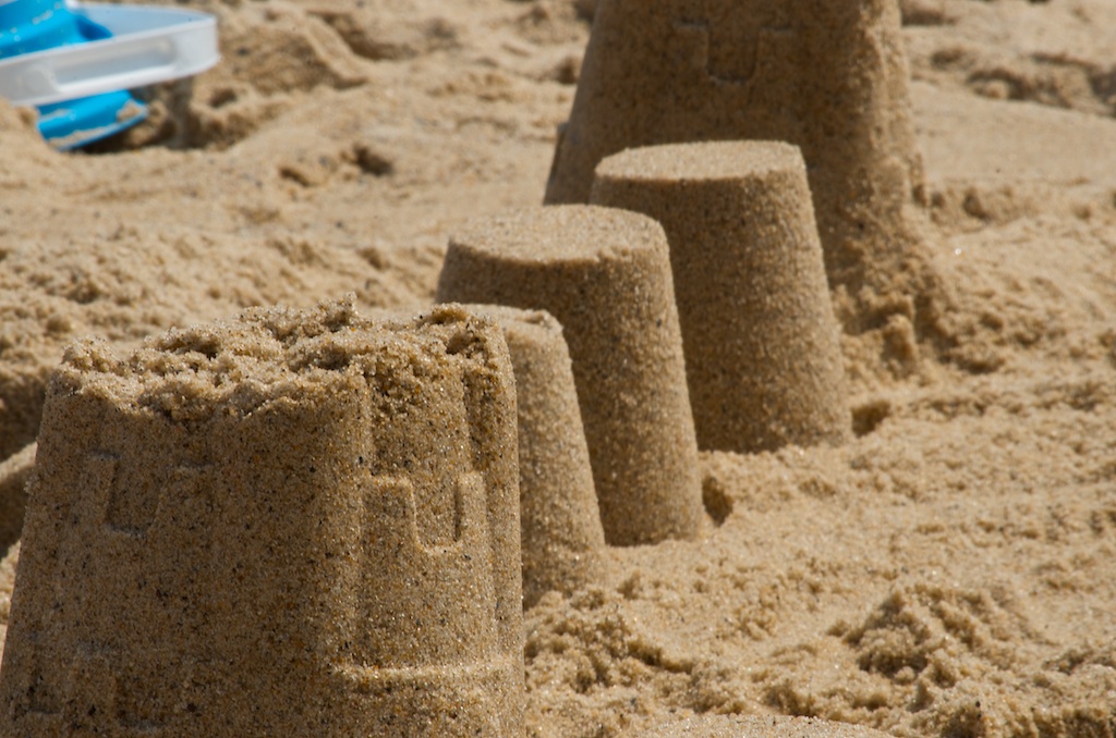
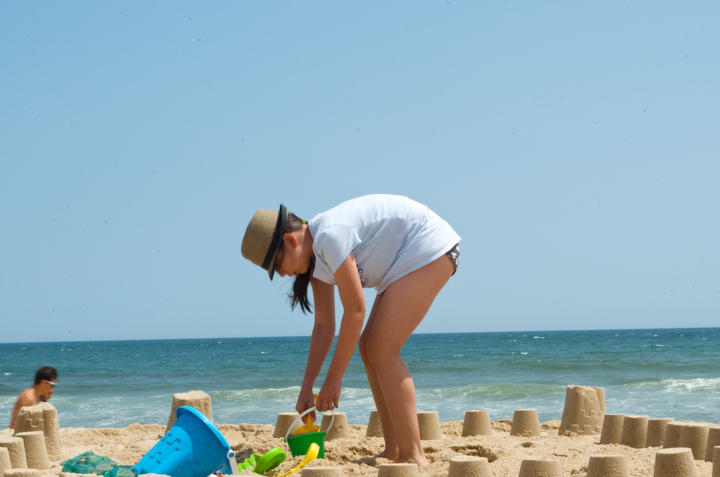
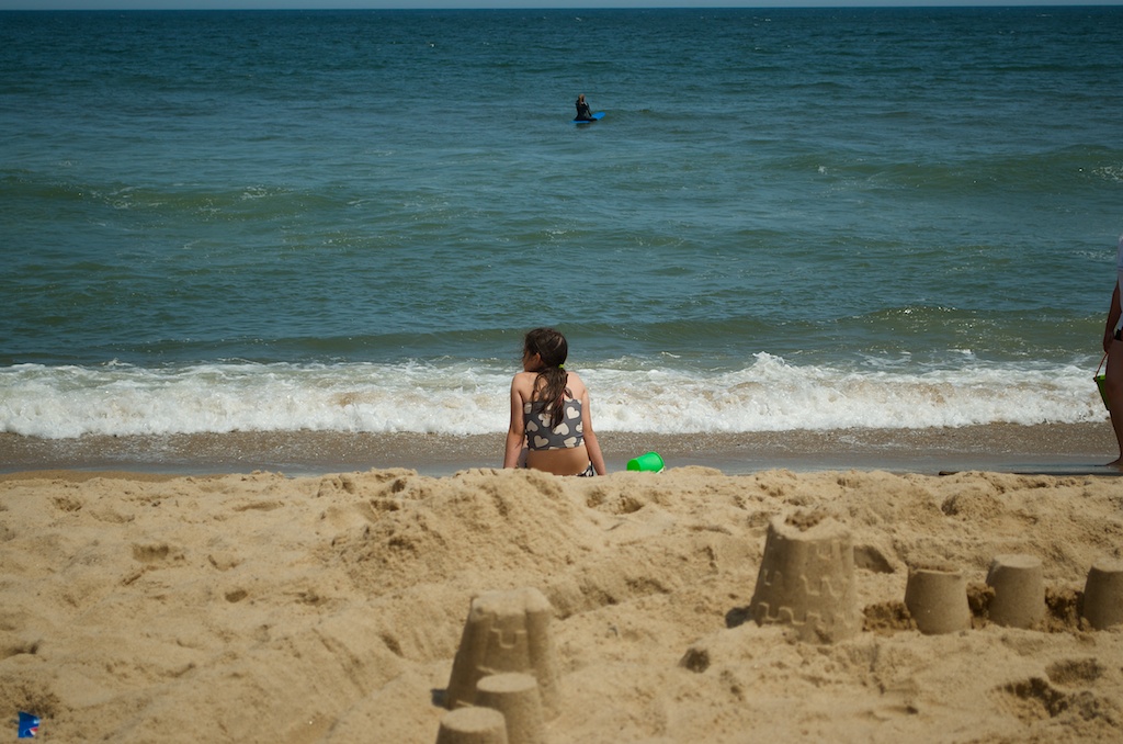
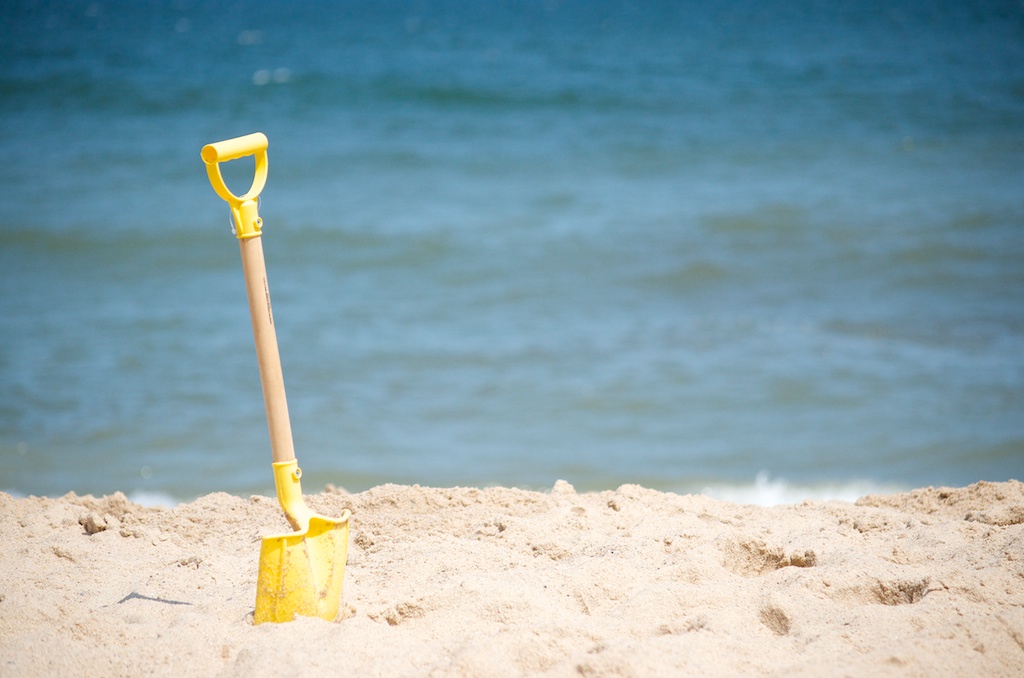
The girls sand creation.

20140731_D7K_3751

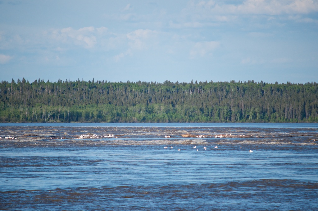
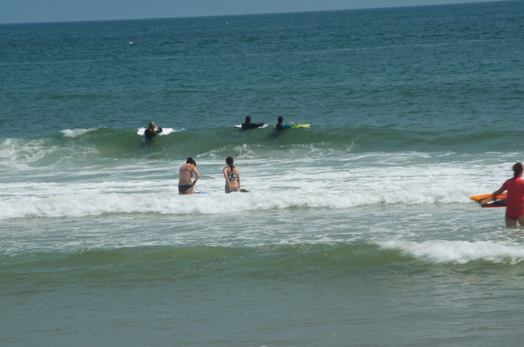
Despite the cold water there were lots of people in the water.

20140731_D7K_3752

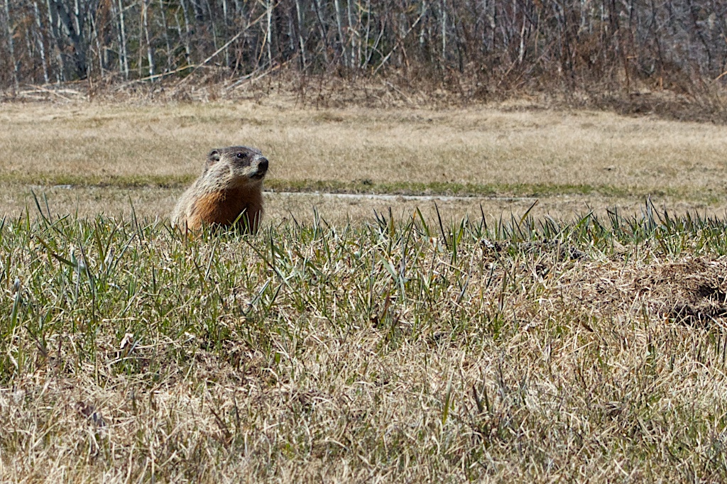
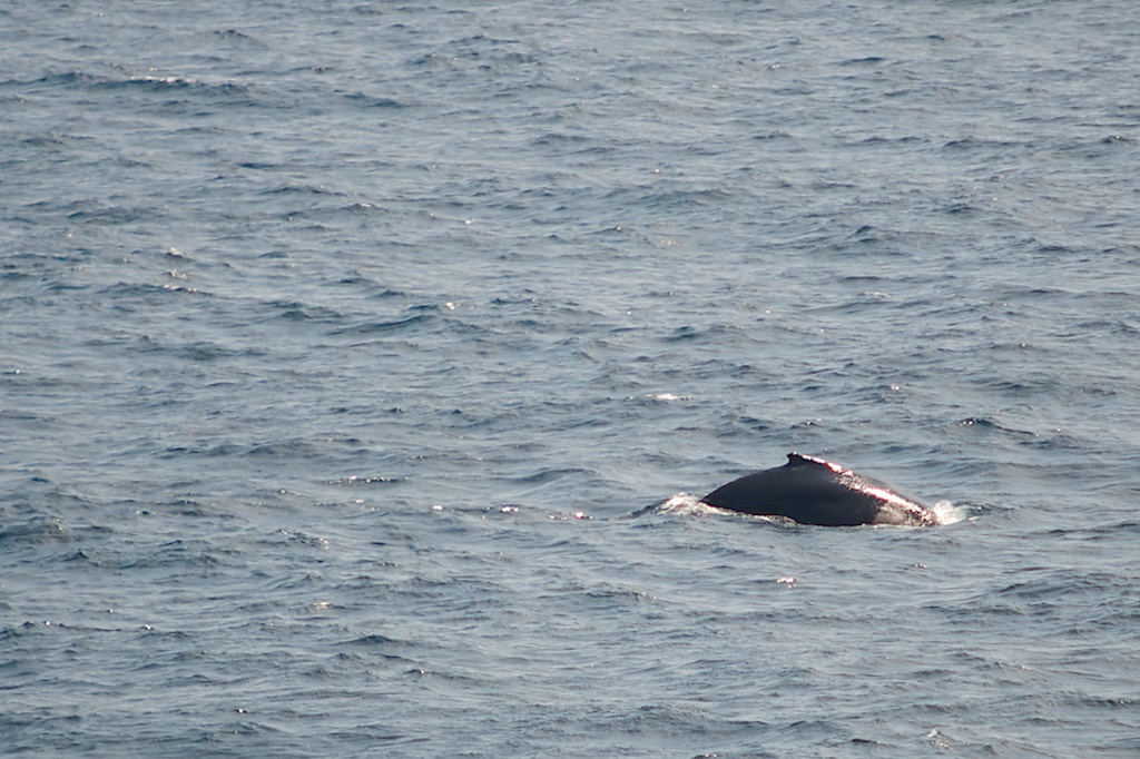
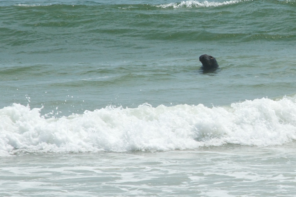
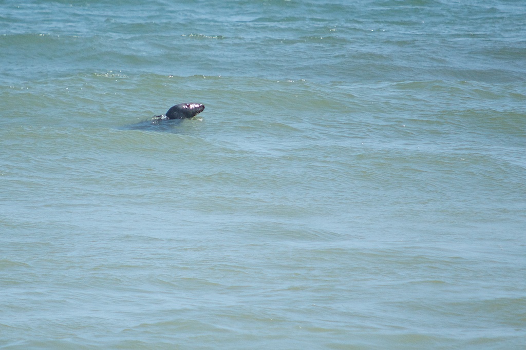
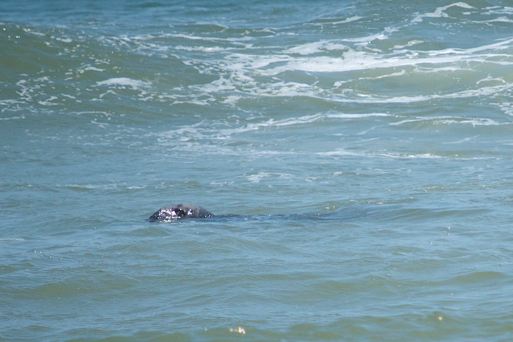
Including a couple of Gray Seals swimming about.

20140731_D7K_3756

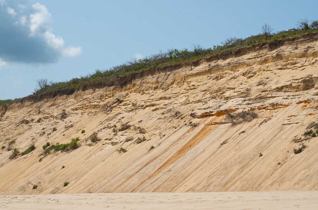
The beach has huge sand cliffs on the one side.

20140731_D7K_3759

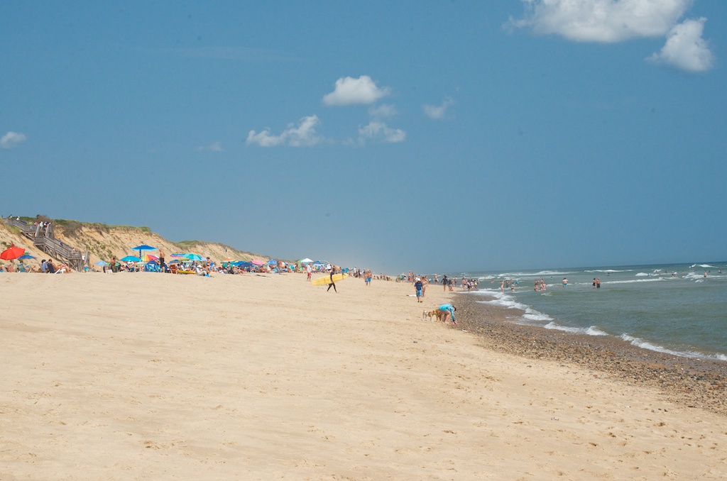
There is a protected beach area, i.e. lifeguards, and on either side is where the surfers and those with dogs hang out.

20140731_D7K_3761

Claudia in the middle of her sand castle.

20140731_D7K_3764

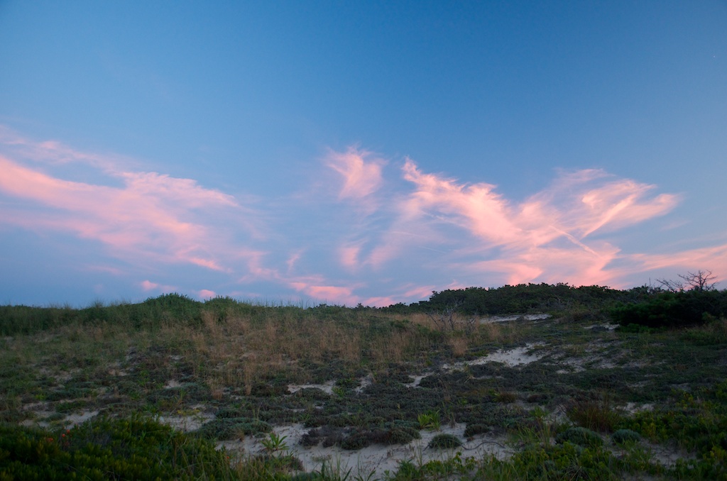
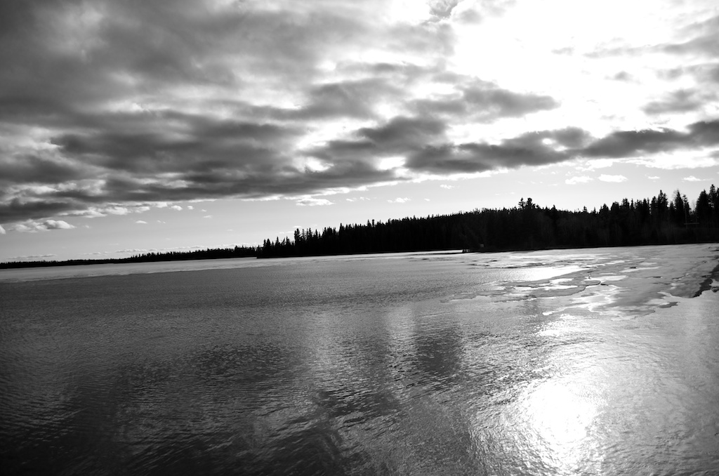
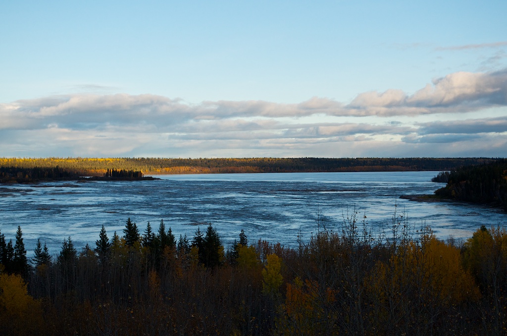
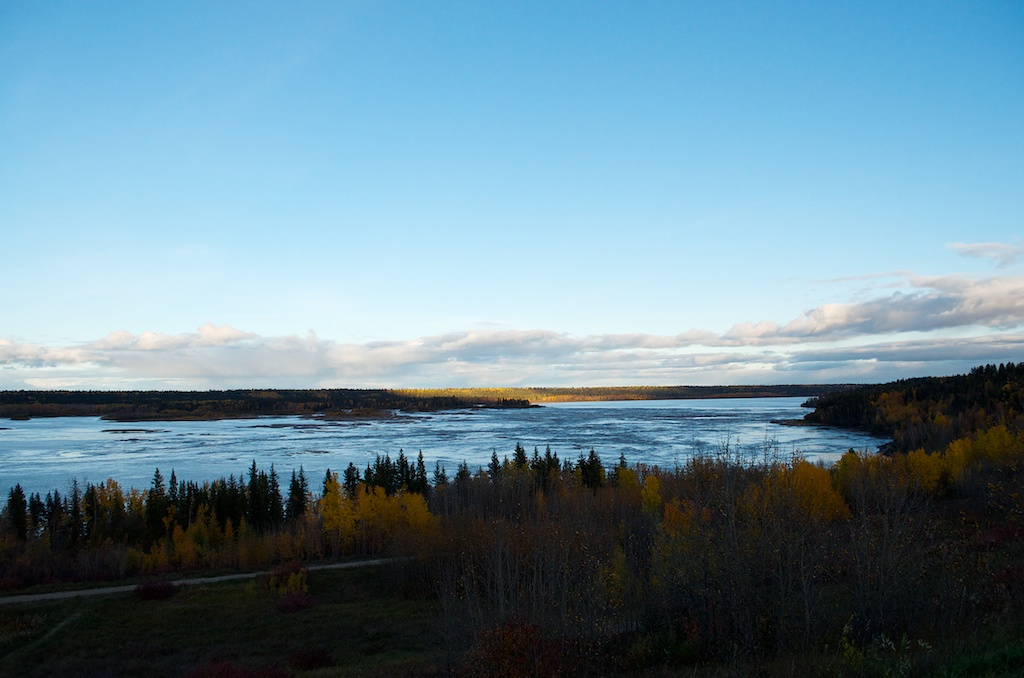
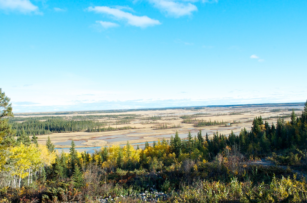
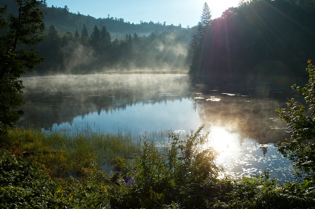
This was the view for most of the day.

20140731_D7K_3766

Claudia relaxing as the tide was coming in. That is a person on a surfboard out there, not a shark.

20140731_D7K_3771

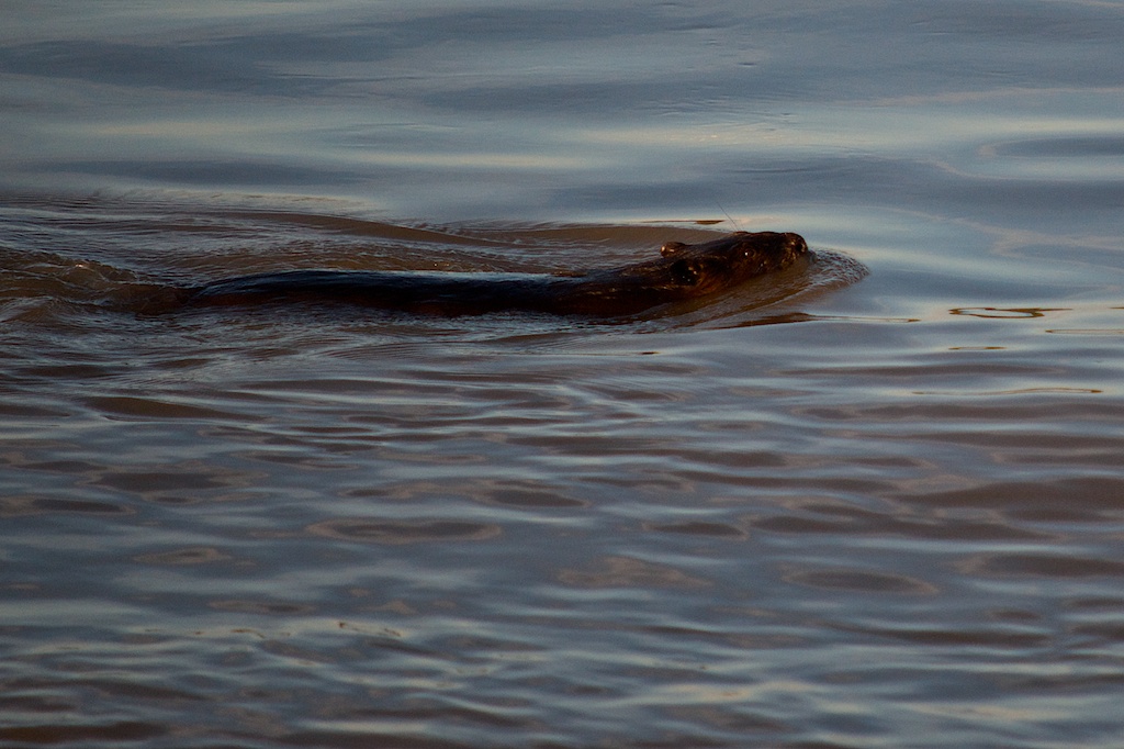
Another Gray Seal in the water. There are signs before heading to the beach that tell you not to swim in the water near seals. Where there are seals, there may be seal predators, i.e. sharks!

20140731_D7K_3776

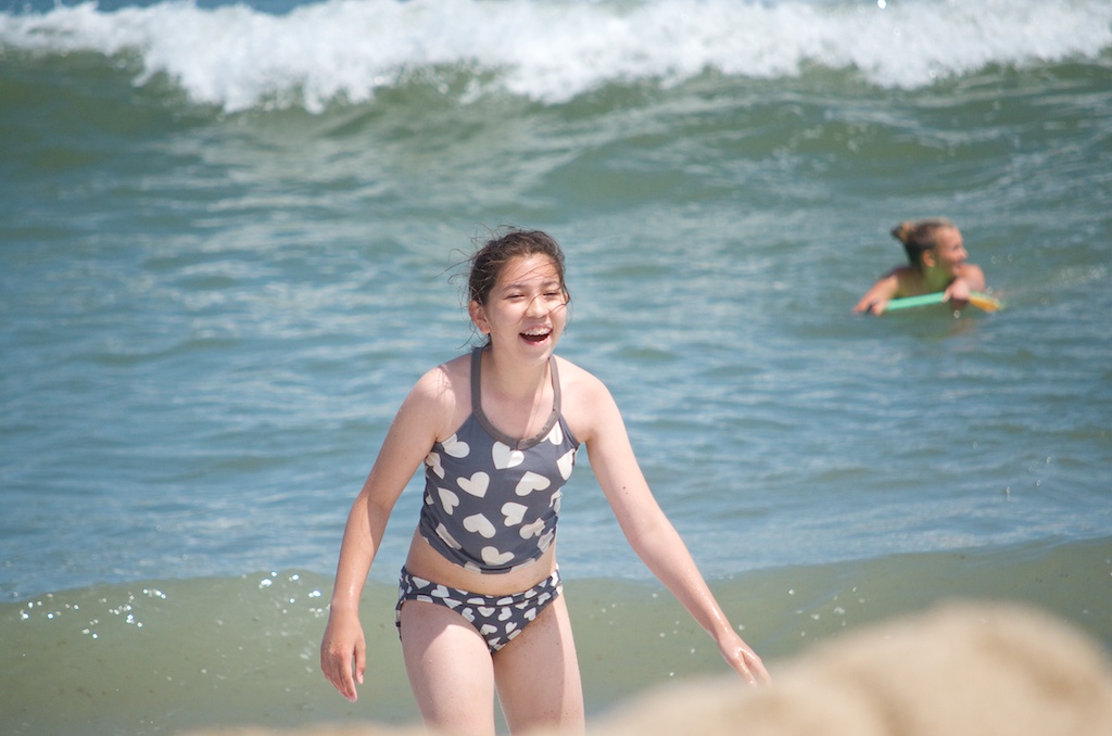
As you can see Claudia is having a great time.

20140731_D7K_3777

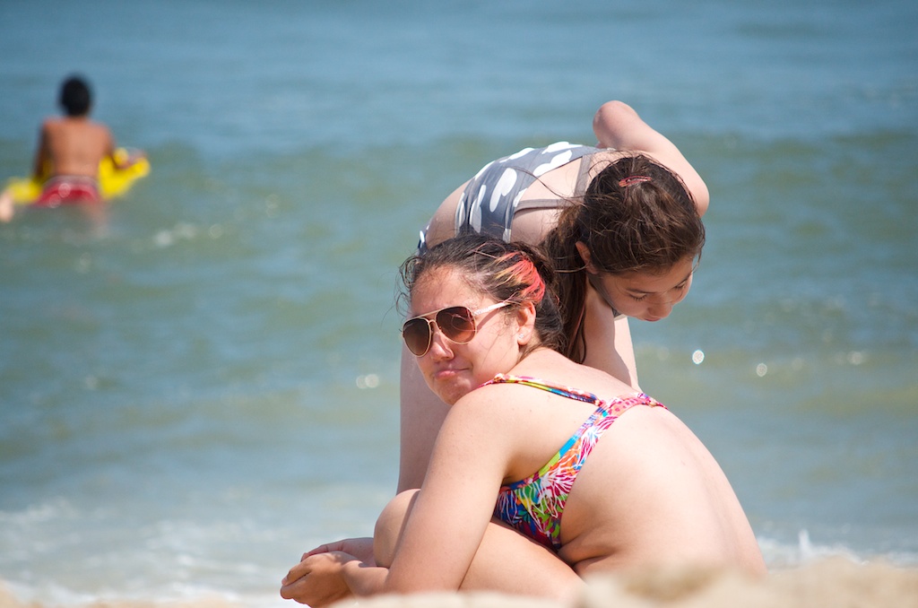
Not sure why Angela has the pout going on, but it may have been the tide coming in and wrecking her sand.

20140731_D7K_3780

20140731_D7K_3781

Another shot of the Gray Seal.

20140731_D7K_3786

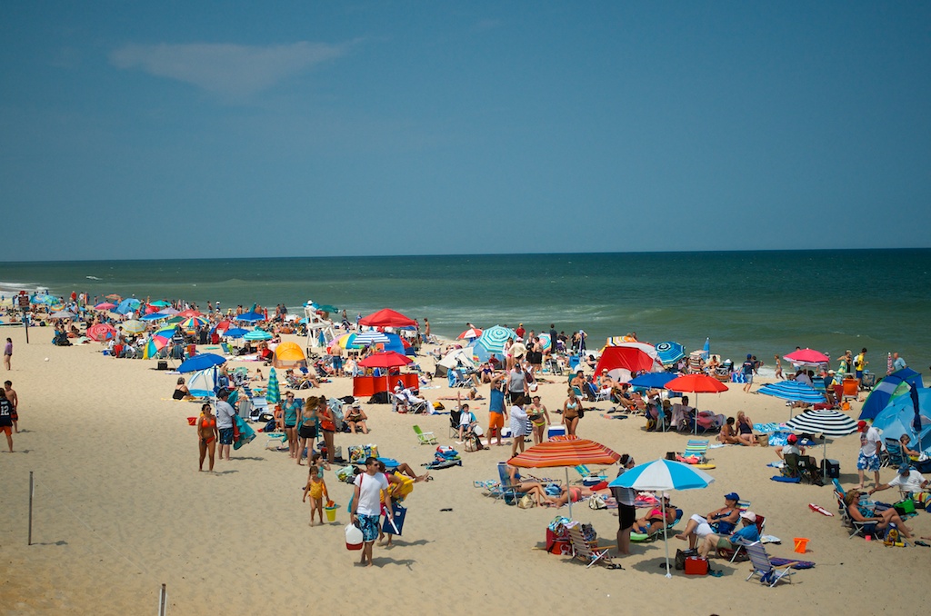
The beach was pretty busy, they charge you $15/vehicle to use the beach. This was looking north.

20140731_D7K_3787

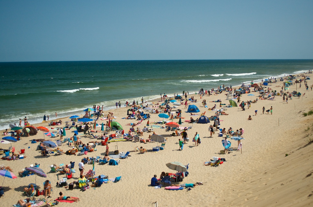
This was looking south.

20140731_D7K_3790

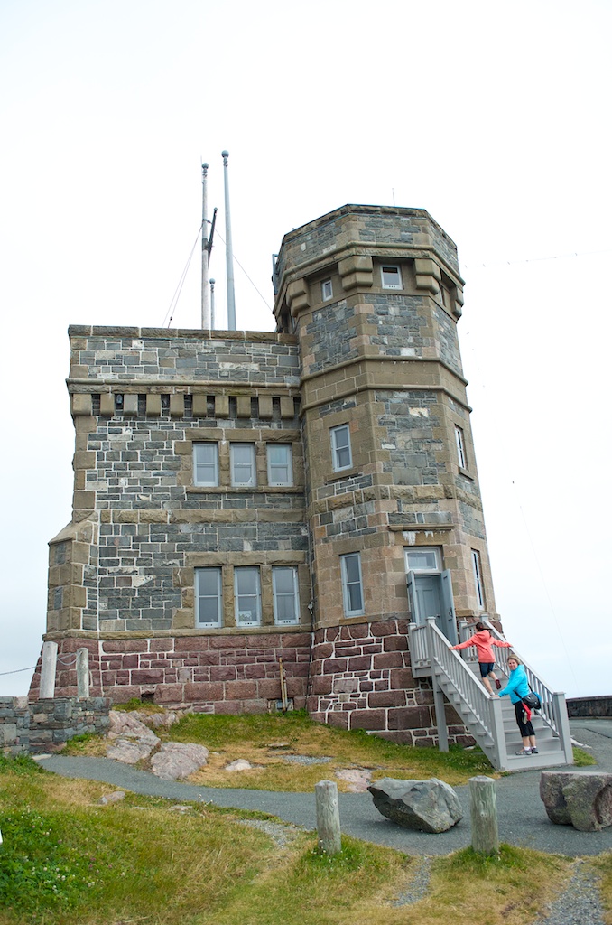
After the beach we went to the Marconi Tower site. It no longer stands, as most of the remnants have been removed due to parts falling down to the ocean due to the erosion. Marconi was planning to do his first trans-atlantic transmission test from this site, but due to a storm knocking down some of the towers he ended up in St John’s, NL and received the first trans-atlantic test signal.

20140731_D7K_3795

Some of the closed off areas due to erosion.

20140731_D7K_3797

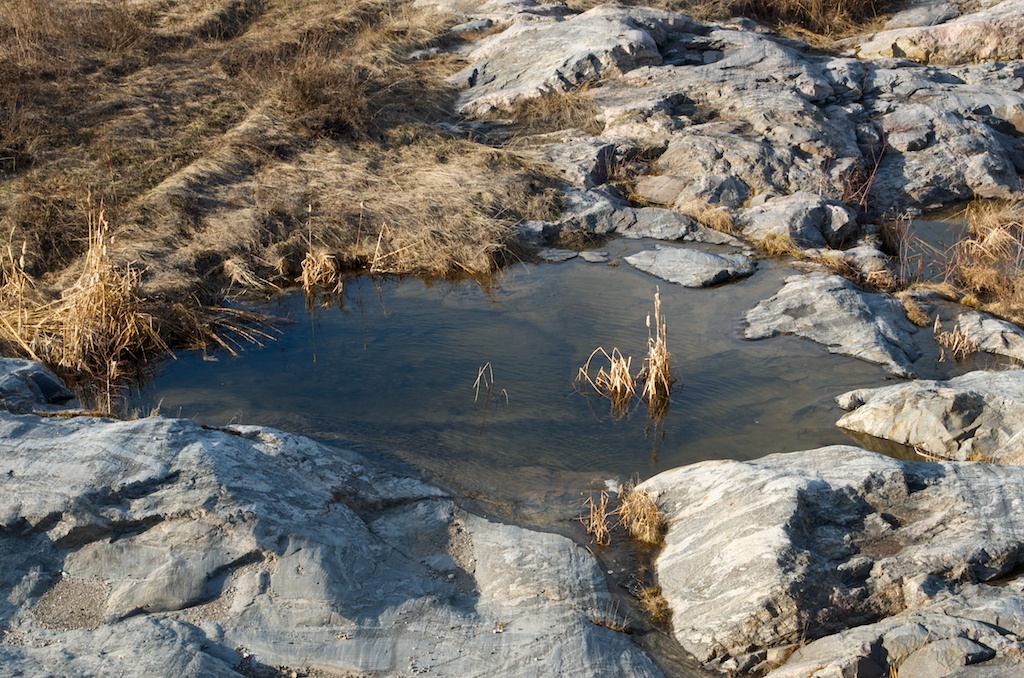
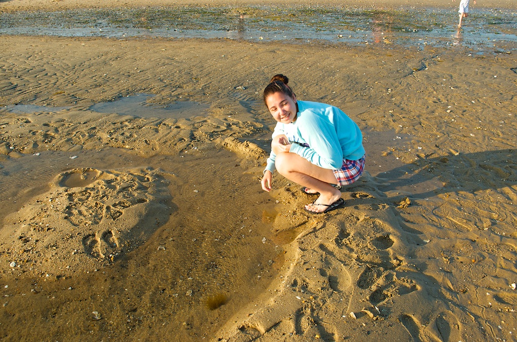
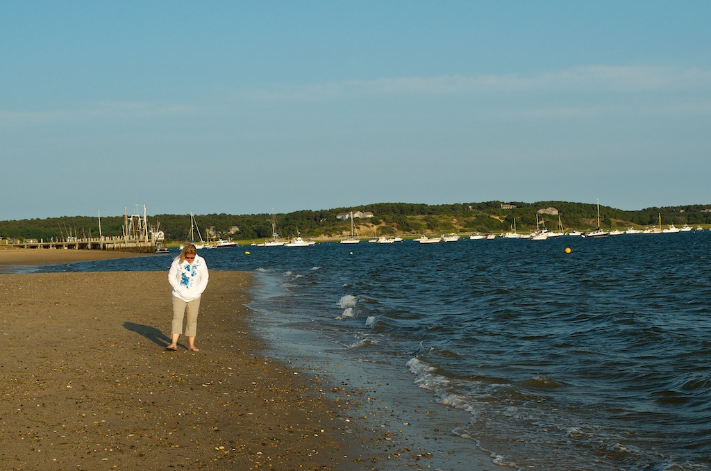
We had dinner at PJ’s on Route 6, I had fried clams, Angela had fried shrimp, Susan had the bbq ribs and Claudia had caesar salad. Afterwards we went into Wellfleet to the Mayo Beach. This would be our destination for tomorrow. This beach had some tide pools.

20140731_D7K_3800

20140731_D7K_3804

20140731_D7K_3806

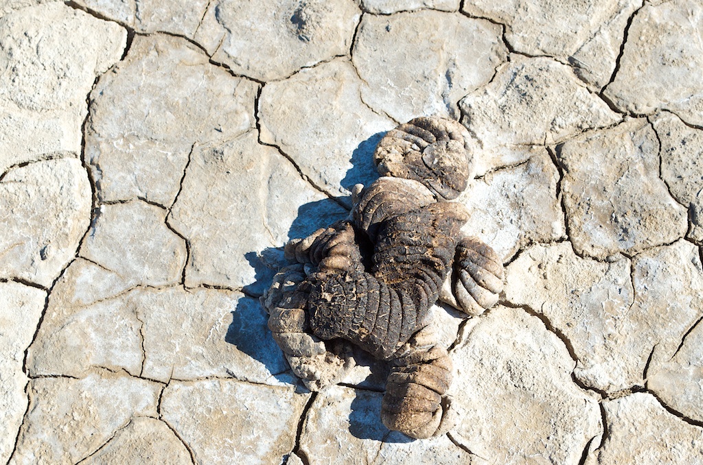
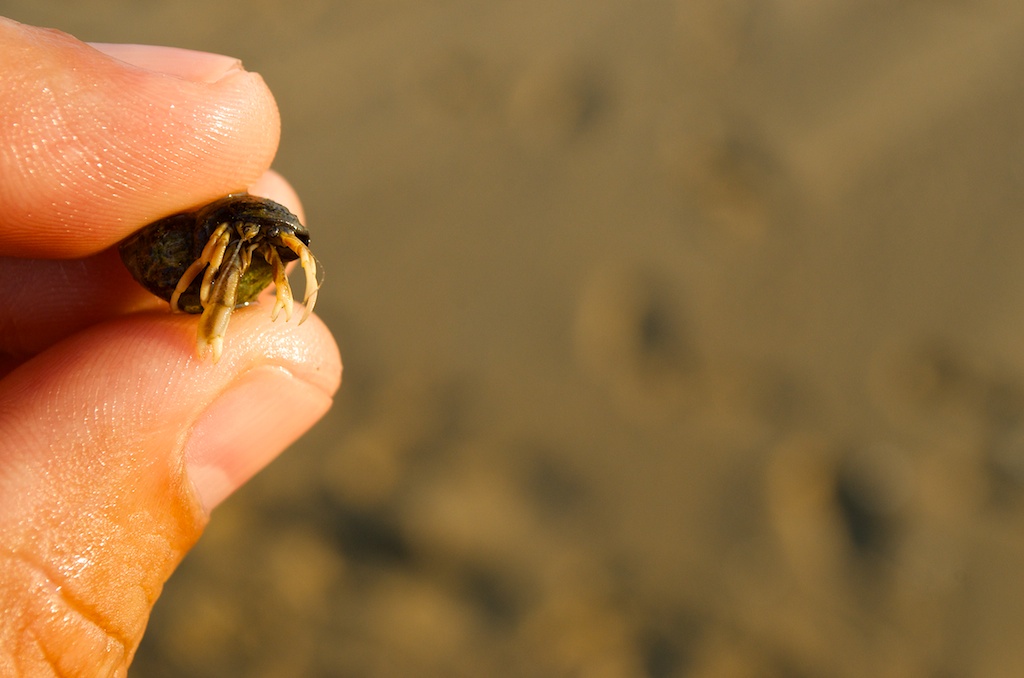
A hermit crab photo for Gillian.
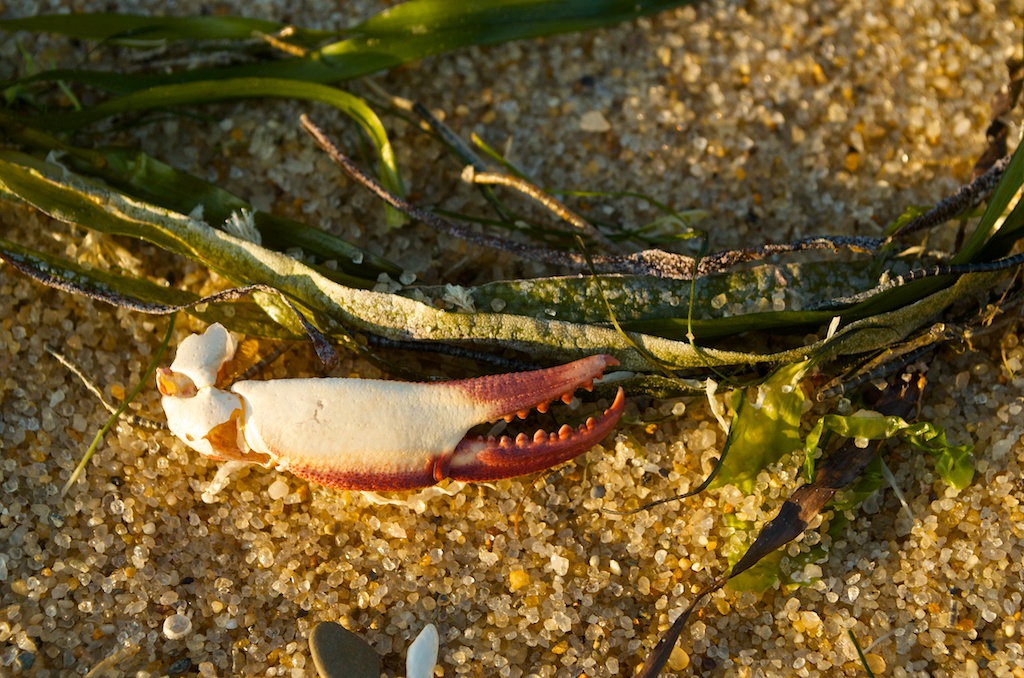
20140731_D7K_3808

A random crab claw.

20140731_D7K_3812

20140731_D7K_3813

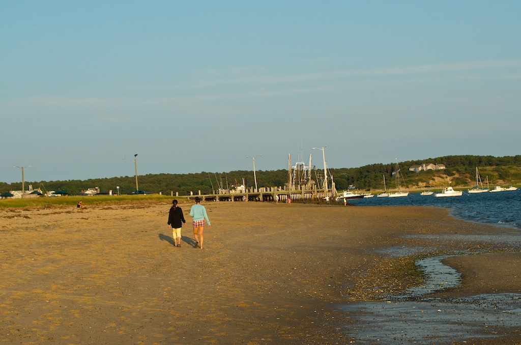
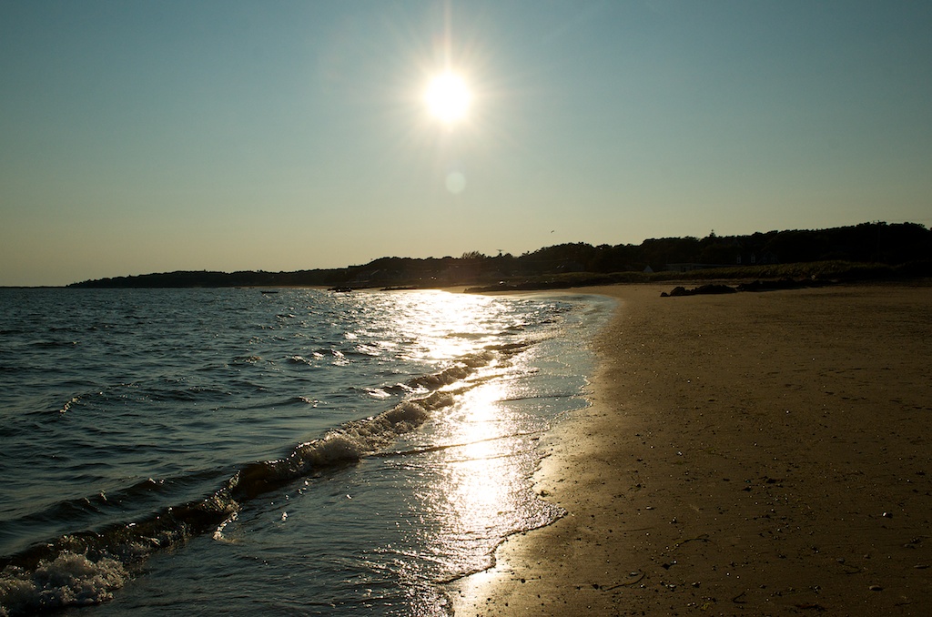
We made one final stop back at Marconi Beach.

20140731_D7K_3820

The tide was going out.

20140731_D7K_3822

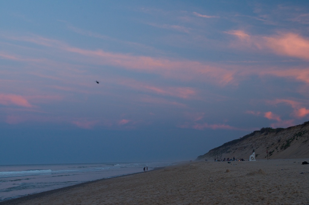
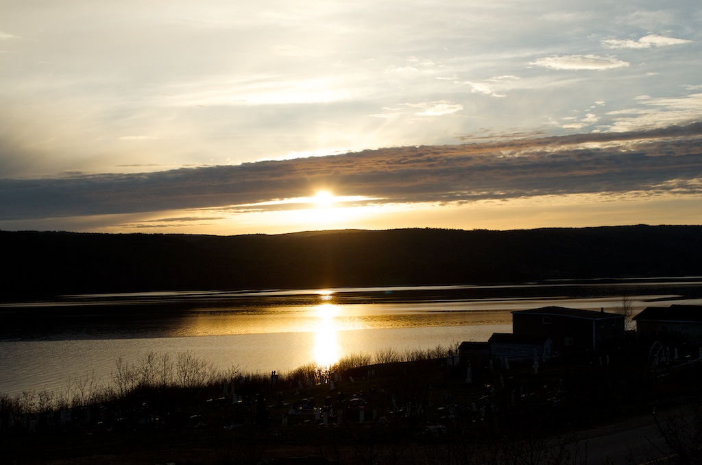
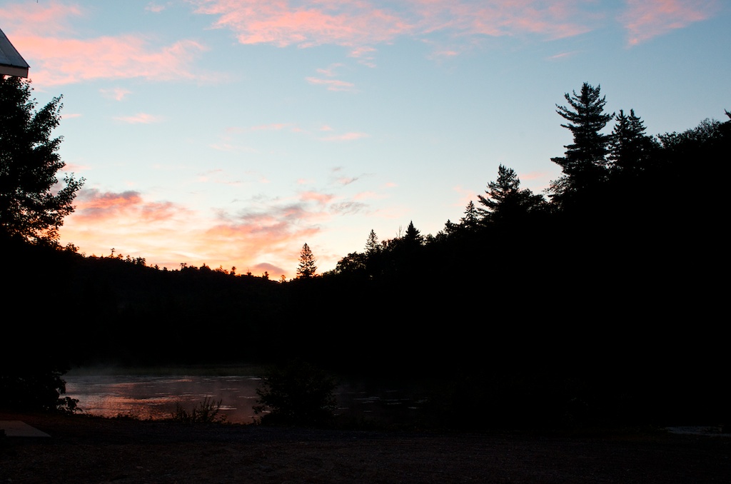
The end to another great day on Cape Cod.

20140731_D7K_3825


Buffalo Narrows

I had one last trip before some holidays this summer. I was back out to Saskatoon and then onwards to Meadow Lake, Pinehouse and Buffalo Narrows. It was a successful trip.

There was lots of black bears, deer and Sandhill cranes along the roads. In Buffalo Narrows there is a colony of White Pelicans. On both days we saw a doe with two baby deer in tow. This is a photo of one of them.

20140722_D7K_3358


Northwest Territories

I was back up to Wood Buffalo National Park for a week to continue work on one of our new sites. The first day out to the site we saw the first of many Bison.

Fort Smith is the closest town, it sits on the Slave River.

Pelican Rapids, the white dots are American Pelicans that spend the summers in the area.

A beaver that came swimming by the shore.

Along with the Bison, we also saw a lot of black bears along the highway.

The Salt Plains.

Walked out onto the Salt Plains, the last time I came, it was too muddy and didn’t get very far. Some bison tracks on the Salt Plains.

Some bison droppings, it’s like a cloud in the sky, what does the dropping look like?

The salt plains are formed from salt that was left behind about 390 million years ago, when a prehistoric saltwater sea evaporated. Today, underground water dissolves the salt. The water is forced to the surface and evaporates and the salt is left behind.

The mosquitos were plentiful out on the Salt Plains.

These are the only salt plains in Canada and part of the reason Wood Buffalo National Park is designated as a UNESCO World Heritage site.

This bear ambled across the highway and then headed for the power pole on the left. He stood on his hind legs and started rubbing his back against the pole.

The last day at the site, this bull was in the clearing, before heading down the power corridor.

These photos were taken from the back of a pickup truck.

By the end of the day he made it down to the far end of the power corridor by the highway and was soaking up the sun. These things are enormous.

We stopped at the Little Buffalo River Waterfalls.

One of the guys had his fly rod and was trying to catch some pike.

The plane we were going out on. Only Northwestern Air services Fort Smith. We had a friday morning flight back to Edmonton. I’ll be back a couple of more times this fall to complete the installation and probably for the opening of the site. Parks Canada is a partner and they are looking to make it a big deal for the site opening with first Nation elders and school groups involved.

The white patches are the Salt Plains from the plane.

First time I have seen an ice cream vending machine. Almost as cool as the beer vending machine I saw in Levis, QC. This one was at the Edmonton airport.


What’s you working to?

I spent the week out in Newfoundland for work. I flew into Gander and was picked up by one of the regional techs out of St. John’s. We then headed to Head of Bay d’Espoir.

The forecast for the week was cloudy and showers everyday, but as always wait 5 minutes and the weather will change. Wednesday turned out to be a great day. The evening ended with a nice sunset.

At lunch one day the cook came out from the back and asked us “what’s you working to?”, it took a few seconds for me to process it to english, to figure out she was asking ‘where we were working’.

It was a good trip for wildlife, I saw a moose on the highway down to Head of Bay d’Espoir, a black bear near the site, and some caribou on the way back to Gander.

I drove back to St. John’s with Brent to catch my flight to Toronto. It was a good drive, only a few showers along the way. While in Newfoundland I only encountered 4 traffic lights, one in Gander coming out of the airport and three in St John’s, not bad considering I drove close to 800km. After three weeks on the road, I’m back for a week, before heading to Champaign, Illinois in a couple of weeks.


Island Falls, SK

This past week had me up in northern Saskatchewan for work. I was doing an installation at our Island Falls, SK site with two other guys. The site is located at the Island Falls hydroelectric power generating station. This is the view from A-dam.

Most of the ice is off of the Churchill River.

There was a groundhog (Marmota monad) that kept showing up at the same time of the day near our building, makes me wonder if one of the operators feed it.

Making a run for it.

The copper smelter was closed in June 2010.

Before heading to the airport we stopped at the local tourist park with the statue of Josiah Flintabbatey Flonatin, a science fiction character from the novel “The Sunless City” by J.E.  Preston Muddock.

Flinty is 24 ft tall and was constructed in 1962. It was designed by cartoonist Al Capp.

To get to Island Falls, it is either an 8 hour drive from Saskatoon or a 1 hour flight from Winnipeg to Flin Flon and then another 3.5 hour drive from there.  Here is the flight path from Winnipeg to Flin Flon. Calm Air is the only airline going there now that Bearskin Airlines no longer has daily flights. While we were waiting to board our flight a RCMP jet came in with a prisoner to make a court appearance in Flin Flon. The provincial court sheriffs were there to take custody of the prisoner. When they are arrested they are shipped to Prince Albert to await trial and then flown back to the local community.


A Week in Wood Buffalo National Park

Found my way back to Wood Buffalo National Park this past week. It was a long day of travel last Sunday, going from Toronto to Calgary to Yellowknife. Here is the view from the Maple Leaf Lounge, looking southwest towards the city and mountains.

The final leg was on Northwestern Air from Yellowknife to Fort Smith. Here is the Yellowknife baggage carousel. there was a large contingent of Japanese tourists on the flight from Calgary, they were on a northern lights tour.

We were staying in Fort Smith for the week.

The Northwest Territories licence plate.

The ravens are giant up there. This one was hanging around the truck.

There was no shortage of Wood Bison on the way to and from the site. Our site is approximately 100km from town.

Fort Smith is located on the Slave River.

The Pelican Rapids.

Wood Bison n the way to the park.

Wood Bison on the way back from the park. The most we saw going in one direction was six, chances were good that we saw the same ones on the way back. They don’t move very far during the course of the day.

Wood Buffalo National Park is the largest National Park in Canada and is home to a herd of 5000 plus free roaming Wood Bison. The park is also home to the last remaining wild migratory flock of whooping cranes left in the world.

A Wood Bison moving along the highway.

We also saw quite a few black bears through the week. The first day there were two that crossed the road on our way back to town. A couple of days later we saw a couple on the way out of town. This was the same guy, not as big as the first ones we saw.

Also located in the park is the Salt Plains.

The Salt Plains, extending over 200 square kilometres, are extremely rare, and one of the reasons Wood Buffalo Park was declared a World Heritage Site. Salt bubbles up in springs across the plains, in some places forming mounds up to two metres high. In spring the salt is dispersed across the landscape forming white patterns on the land. The salt is pure table salt, deposited many millions of years ago.

Just spectacular scenery up in this part of the country.

There were parts of the park that also experienced recent forest fire activity.

Leaving the park on the last day, there were some Wood bison near the park border.

The Wood bison is the largest North American mammal and can weigh up to a tonne.

The watch for buffalo sign on the road as you drive into the park.

It was a good week work wise, we completed what we had come up for and we saw an abundance of wildlife.

One last stop at Little Buffalo River Falls.

This is a Territorial Park close to Fort Smith.

A classic sign posted near the falls.

Back in town this fox came around when we were gassing up the truck.

It was very curious and had no fear of us.


A week in Algoma

I was up at one of sites just northwest of Sault Ste Marie this week. There were three of us there doing a major upgrade. The other two drove up from Toronto and I flew in Monday afternoon. For the first time in my career with CAPMoN, my checked bag didn’t arrive with me. Fortunately there are multiple flights to the Sault, and my bag arrived on the next flight, 2.5 hours after mine landed. We were staying in camp. This is the cookhouse on the left and my room the door on the right.

The camp runs on diesel generators.

The early morning fog lifting off the lake.

The weather was hot, 37 humidex the one day, we had a good storm one night, but by the last night we had some time to explore.

One of the guys brought his fishing rod, and he was able to catch one brook trout.

Waiting for the sun to come up over the trees.

Spotted some Sandhill Cranes on the way out.

There was a pair of them.

We made a quick stop at the Chippewa Falls rest area.

Chippewa Falls is the half way point of the Trans Canada Highway.


The lower pool with Highway 17 in the background.

Lake Superior.


At Least They Use the Crosswalks

After breakfast we headed over to the Land Registry office in Kenora to find some land owner information. As we pulled up to one of the major streets there was some four legged pedestrians causing heads to turn. This pair of doe and buck started in between the crosswalk lines when they started to cross the street.

They stopped for a few leaves.

Checked out the Boston Pizza window.

And then headed back onto the street.

Made a few cars wait while they decided to cross again.

We drove over a 1000 km’s on northern Ontario back roads and didn’t see one sign of wildlife. Now realize you don’t have to leave the town, they’ll come to you.

Then they finished with some flowers from the bed in front of the ServiceOntario building.

My drive over two days. A. Winnipeg, B. Kenora, C. McIntosh, D. Quibell, E. Vermillion Bay, F. Kenora, G. Grassy Narrows, H. Winnipeg


Northwestern Ontario

I had a quick trip up to northern Ontario this week for work. I was in the Vermillion Bay area, between Kenora and Dryden.


I was reviewing some potential new sites. This was an abandoned building up near McIntosh.

The north end of Canyon Lake.

My ride for the two days was a Ford Edge. Some of the roads we traveled, weren’t really roads.

There were giant tadpoles in a flooded area of the road.

This is probably a no-no in my car rental agreement. The car had a back up camera which came in handy, other places I was making 10 point turns.

Caught at the CNR line just west of Vermillion Bay by a freight train.


Day 12: St. John’s and Area

Our last full day in Newfoundland was spent in St. John’s. We woke to overcast skies and some thunder, but by 10:00 the sun came out for the day. We headed for Signal Hill National Historic Site. There is a new Visitor Centre (at least new in the sense that it wasn’t there when Susan and I were here in 2001). The Signal Hill Tattoo do a re-enactment of garrison life in the late 1790’s. We didn’t stick around to watch the show ($5/head). It looked like the soldiers were waiting for the bus.

These guys were studying their cheat notes before the show.

Cabot Tower at the top of Signal Hill. It was completed in 1900 and in 1901 Marconi received the first trans-Atlantic wireless message.

Angela listening to what Marconi heard, sort of, it was out of order.

On top of the tower the winds were strong, like everywhere else in Newfoundland.

Claudia holding the door for people.

Gillian standing guard.

Even though the hill was busy, if you wait long enough you can still get a photo of the tower without any tourists in the frame.

Some of the re-enactment.

Claudia atop the Queens Battery canons.

A colourful view of downtown St John’s. The Basilica of St John the Baptist is in the top right.

The girls on the canon.

Angela checking for canon balls.

In front of St John’s.

From Signal Hill it was on to Cape Spear National Historic Site.

20130721_D7K_0102

There were some fin whales off the coast.

Cape Spear is the most easterly point in North America. The girls have now been to the far east of Canada and the far south (Pelee Island).

Once again the day’s weather forecast was right on.

Claudia atop one of the WWII coastal defence gun battery.

Angela surrendering.

This lighthouse was built in 1955 to replace the original lighthouse.

They have restored the original lighthouse built in 1836. This was the second lighthouse to be built in Newfoundland.

Claudia holding the lighthouse.

From Cape Spear it was back to downtown St John’s to walk around.

St John’s colourful houses.

Being a Sunday we attempted to go to church. We walked up the hill to The Basilica of St John the Baptist, unfortunately the doors were locked. The church was constructed in 1841.

So we sat on the steps and enjoyed the view.

20130721_D7K_0113

The Gower Street United Church. It was completed in 1896.

The Masonic Temple built in 1894.

The court house on Duckworth St. It was built between 1899-1901, it also housed the public gallows.

Some of the colourful exteriors of the stores along Duckworth St.

Another mermaid near a chocolate store. The one in Twillingate was also beside a chocolate store.

Colourful and hilly.

Claudia resting outside one of the stores while the others were shopping.

Gill’s unders the Gill’s Cove sign.

The girls with a Newfoundland dog statue.

When the girls were younger, they would make boobie traps on the beach, we came across this store on Water St.

One of the stairways going from Duckworth down to Water streets.

We enjoyed the walk around downtown.

Our drive today. A. Hotel B. Signal hill C. Cape Spear D. Downtown, St John’s